Pete's Walks- Studham Common and Nettleden (page 1 of 5)
If you are considering walking this route yourself, please see my disclaimer. You may also like to see these notes about the maps and GPX files.
I did this circular walk of about 11.6 miles on Wednesday, 6th December 2023. It was a new route for me, with a couple of paths I'd never walked before and some that I'd not walked for over 10 years.
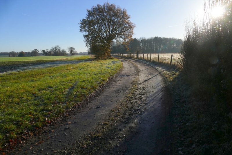
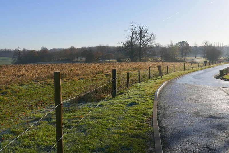
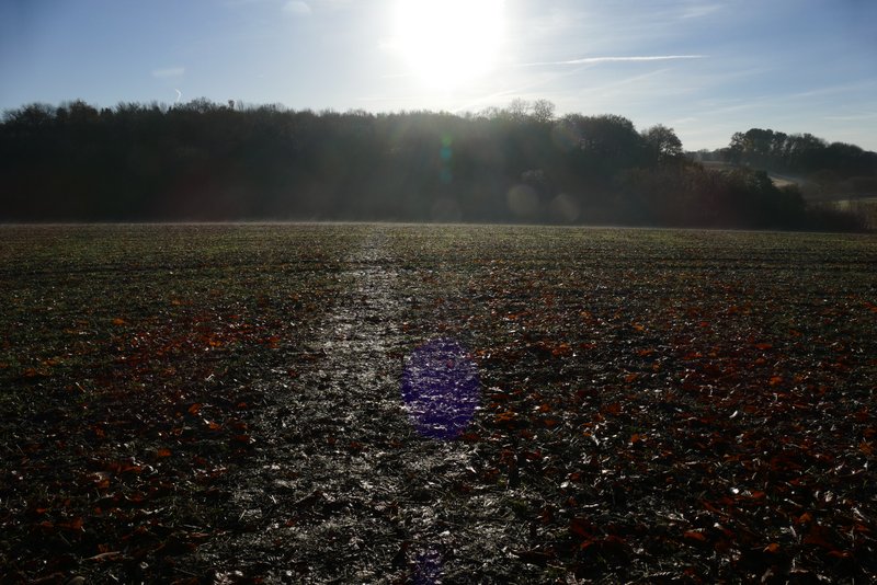
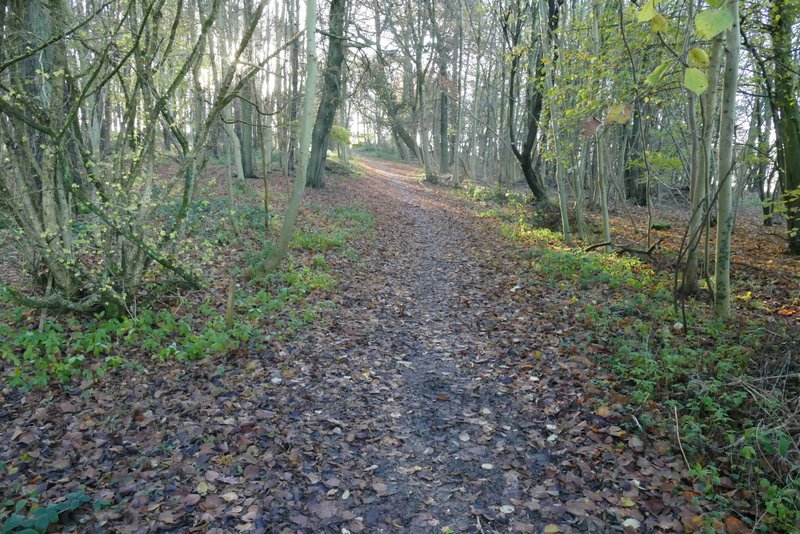
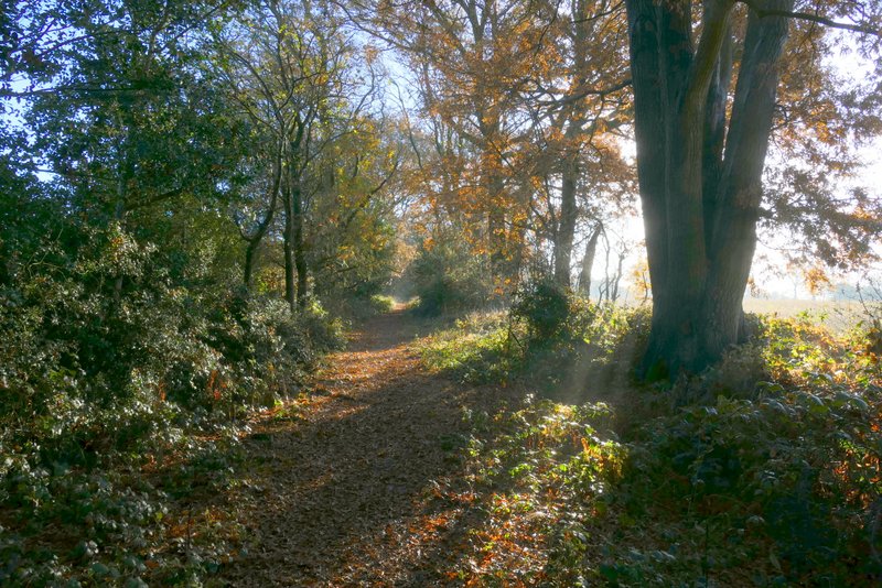
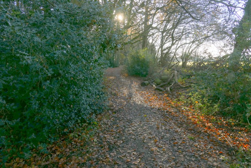
When I left home I intended doing a walk from Gaddesden Row (my Gaddesden Row and Briden's Camp walk, yet again) but when I got there I found the road was closed for repairs, and there was nowhere I could park nearby. So I turned round and parked at Studham Common instead (Grid Reference TL027156). I started walking along the top of the frost-covered common about 9:30am, with a vague plan of walking to Redbourn and back. In the corner of the common I turned right, along a path that soon brought me to Great Bradwin's Wood on my left, and a little further on I turned left and followed a path through the wood. After a few hundred yards I went straight on at a junction of tracks, now in Gravelpit Wood. It was around this time that I changed my mind, and decided to head to Water End and then explore some paths near there that I'd not walked before.
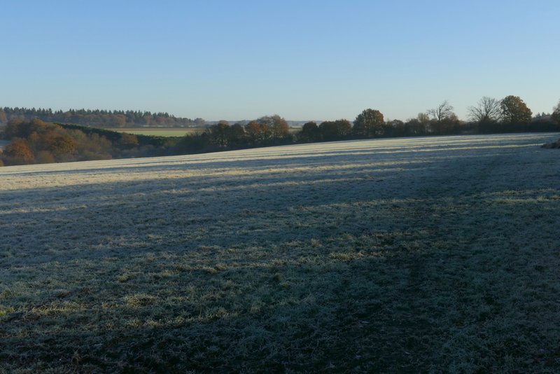
A very frosty Studham Common
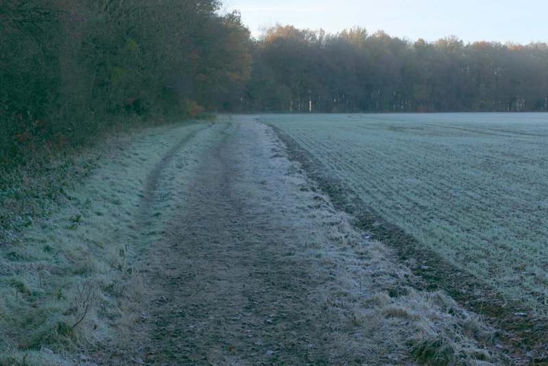
The path to Great Bradwin's Wood
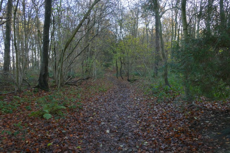
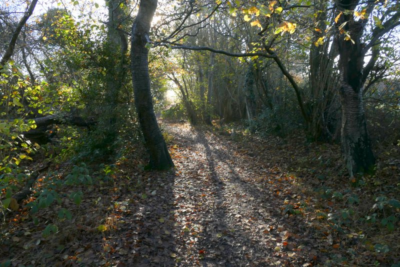
The path through Great Bradwin's Wood
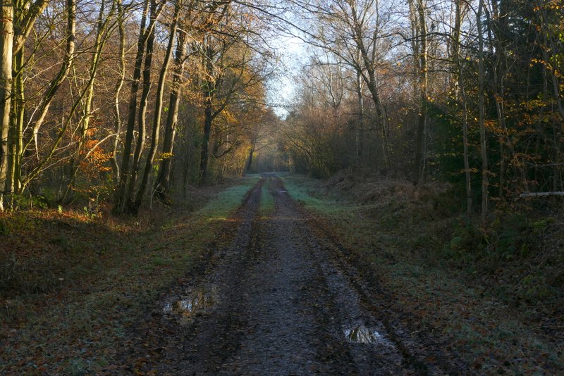
The path continuing through Gravelpit Wood
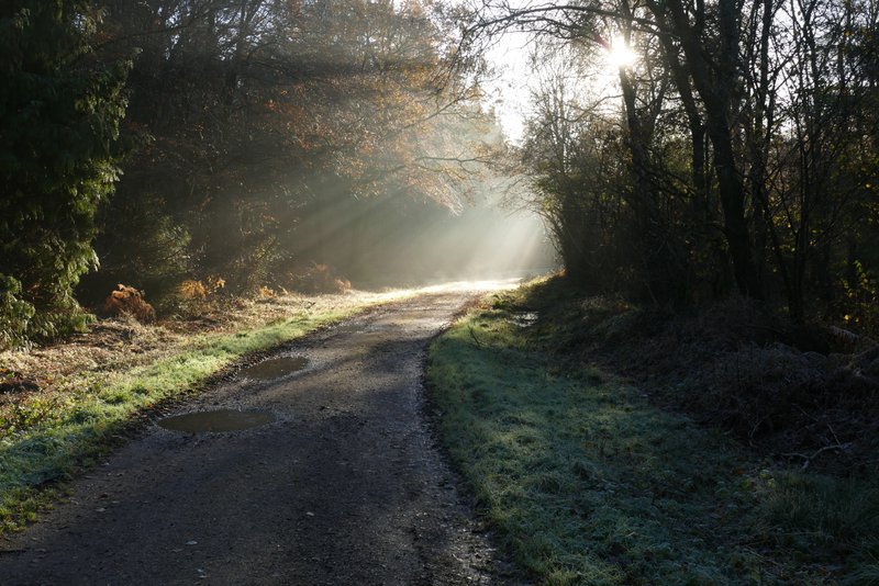
The path continuing through Gravelpit Wood
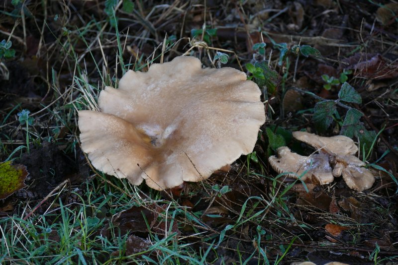
Large Mushroom
Beyond the wood, the path passed the farmyard of Beechwood Farm and some cottages on my left. When I then came to a junction of drives or tracks I went straight on (I usually turn left here to go to Roe End, the last time I went straight on here must be over 10 years ago), now on a drive heading to Beechwood Park school. After almost half a mile, I passed the school on my right and continued along the drive, before taking a footpath on the right (where the school playing fields ended). After a few yards the path forked slightly left to run between a hedge on my left and a line of trees and bushes. Further on it emerged near a bend in the school fence, where I followed the fence half-right past some sports pitches, until the path turned left and dropped downhill through a ploughed field.
The path continuing past Beechwood Farm
Approaching the track crossroads where I went straight on
The drive to Beechwood Park school
The drive to Beechwood Park school
The start of the footpath that goes right from the drive to Beechwood Park school
The path continuing along of the school's sports field
The same path continuing down to a road and Babies Wood
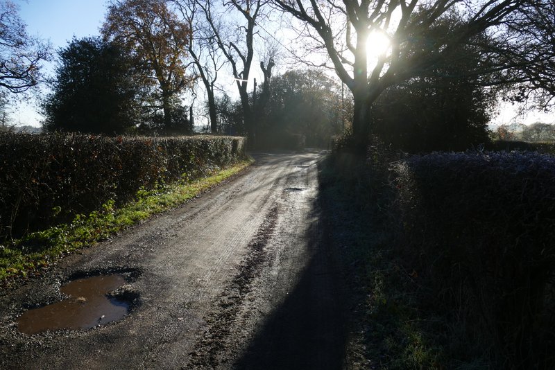
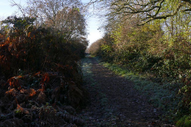
In the valley bottom I crossed a road at a bend, and continued along a byway going fairly gently uphill through Babies Wood (I always wonder if there is a happy or sad story behind this name, but I've not been able to find out anything about it). Beyond this wood the byway continued a few hundred yards between hedgerows, then ran some way just inside Newland's Wood. Shortly after leaving this wood, the byway turned right and after a quarter of a mile or so reached a road (next to Gaddesden Row School).
The byway through Babies Wood
The byway continuing from Babies Wood
The byway continuing past Newland's Wood
The byway continuing from Newland's Wood
The byway continuing towards Gaddesden Row School