Pete's Walks - Maidensgrove Common, Turville Heath, Middle Assendon (page 1 of 4)
If you are considering walking this route yourself, please see my disclaimer. You may also like to see these notes about the maps and GPX files.
I did this walk of about 9.6 miles on Friday, 15th December, 2023. It was a new route for me, but entirely using paths I've walked on other routes. The second half of the route (from Southend onwards) was the same as the last section of my Maidensgrove, Ibstone, Middle Assendon walk, the start of the route included some paths between Maidensgrove Commmon and Pishill that I'd not walked for a few years. NOTE: to see this route when I walked it on a sunny Spring day, click here.
I parked on Maidensgrove Common where the lane crosses it (grid reference SU 717886), and started walking about 10.15am . I began by following the lane towards Maidensgrove (so the largest part of the common was to my left). I then turned left along a footpath that followed the drive to Maidensgrove Farm. The footpath went half-left through the farm buildings, then continued between wooden fences with paddocks or meadows either side to reach Doyley Wood. The path continued straight on through the wood, before turning half-right, as it descended into a valley. There was then quite a steep section up the other side of the valley.
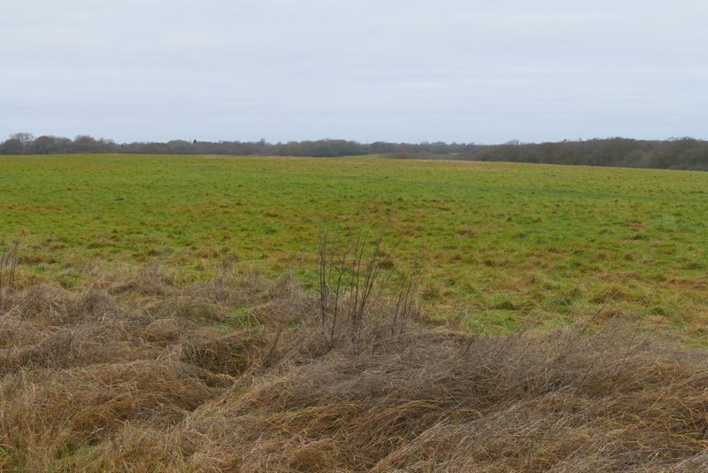
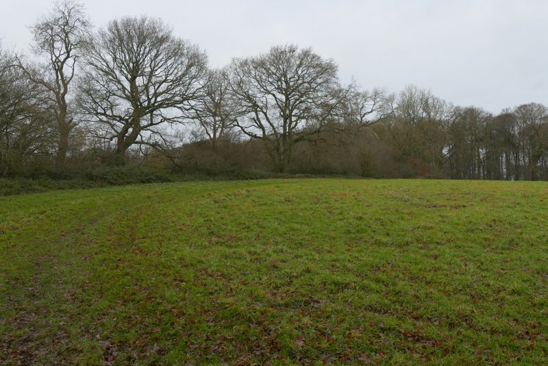
Maidensgrove Common
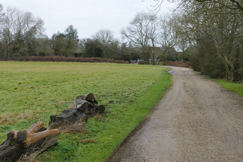
The drive to Maidensgrove Farm
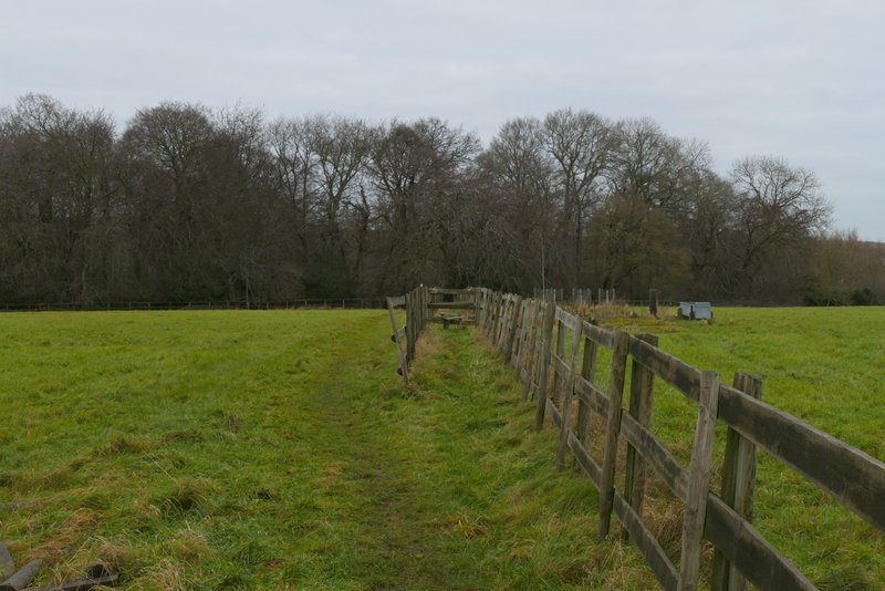
The path from Maidensgrove Farm to Doyley Wood
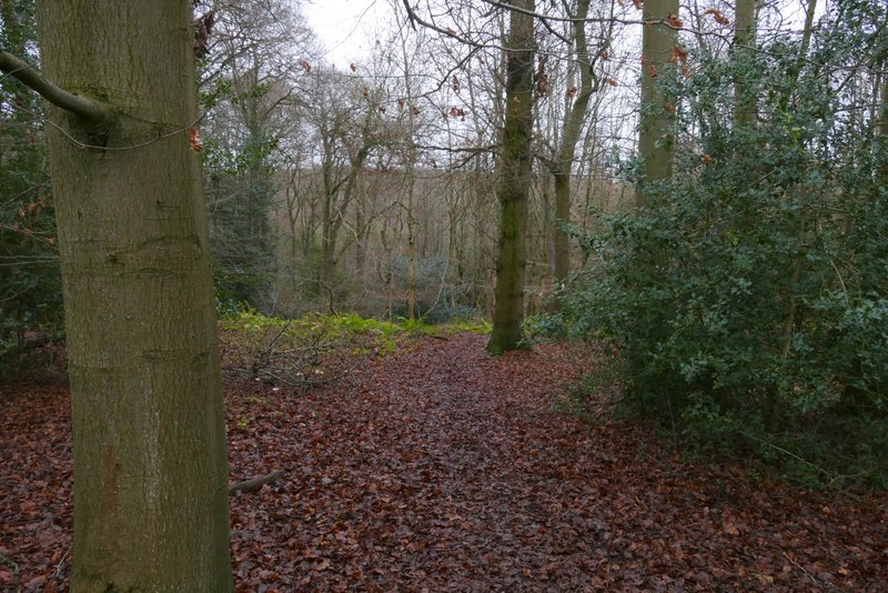
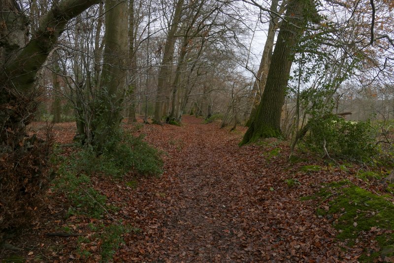
The path descending through Doyley Wood
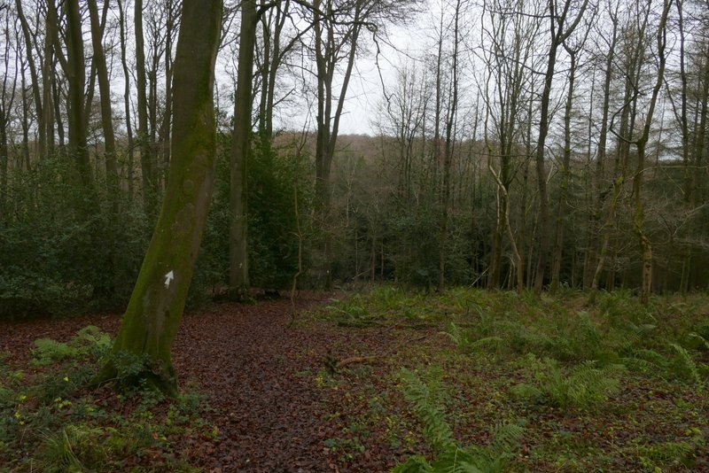
The path descending through Doyley Wood
The path descending through Doyley Wood
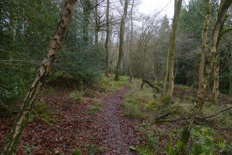
The path starting to ascend through Doyley Wood
The path ascending through Doyley Wood
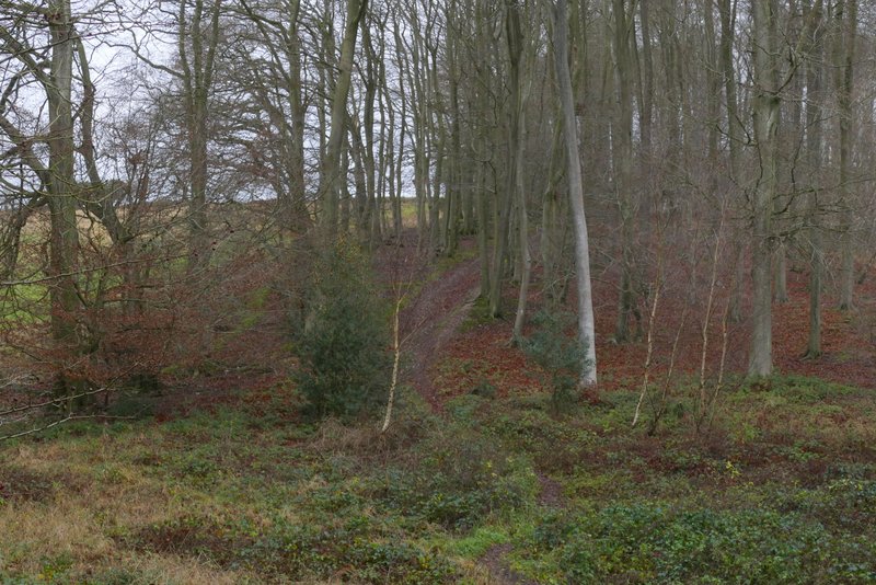
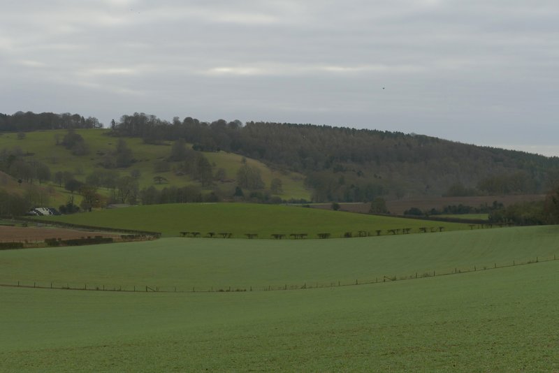
The path left Doyley Wood near the top of the slope, and continued along the left edge of a large meadow (with a nice view to my right). I then entered Long Wood, and immediately turned right onto a bridleway. This ran just inside the wood beside the meadow for about a quarter of a mile, before continuing between hedges. It then merged with a bridleway coming in on the right (my usual route from Maidensgrove to Pishill) before joining a drive and then a lane. This passed Pishill church on my left, before dropping downhill to reach a road.
The meadow between Doyley Wood and Long Wood
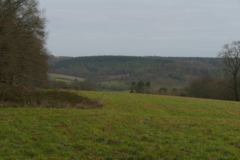
View right from the meadow
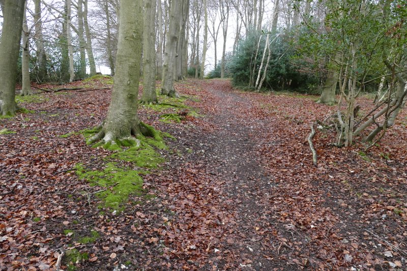
The bridleway after I turned right inside Long Wood
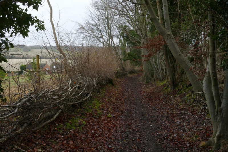
The same bridleway, shortly before reaching Pishill
The lane through Pishill, just before it passes Pishill church
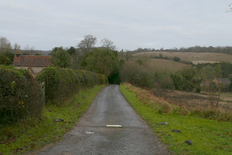
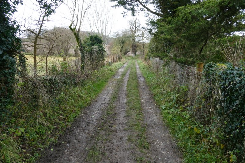
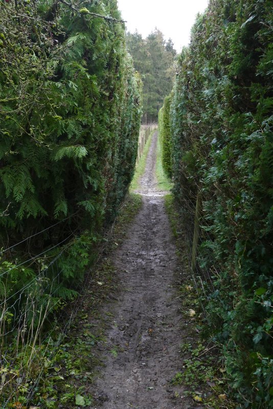
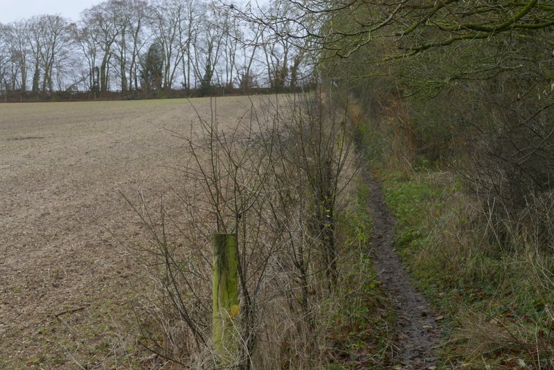
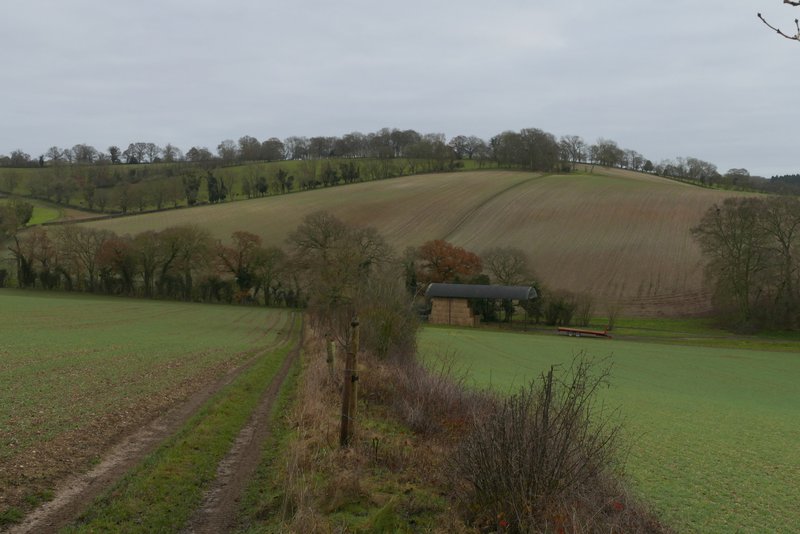
I turned right along the road, then when the road turned right I went left along a track. After passing a garden on the right, I turned right along a footpath that began between high conifer hedges. The path then continued fairly gently uphill between a fence and a hedge on my right, to reach Hollandridge Lane (a byway) at the top of the slope. I went straight on here, the path almost immediately switching from the right to the left of a hedgerow and dropping downhill into a valley.
The track going left from a bend in the road through Pishill
The start of the path after I turned right from the track
The same path heading up to to Hollandridge Lane
View right from near Hollandridge Lane, towards Stonor deer park and Almshill Wood
The path descending from Hollandridge Lane