Pete's Walks - Maidensgrove Common, Turville Heath, Middle Assendon (page 2 of 4)
If you are considering walking this route yourself, please see my disclaimer. You may also like to see these notes about the maps and GPX files.
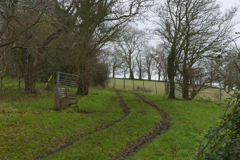
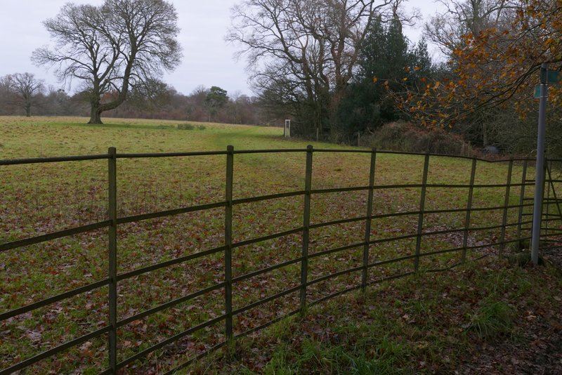
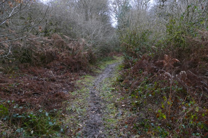
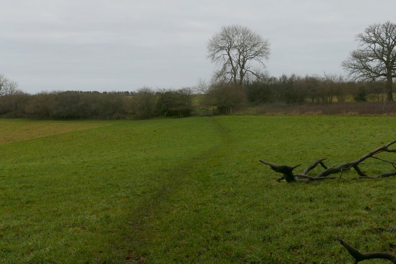
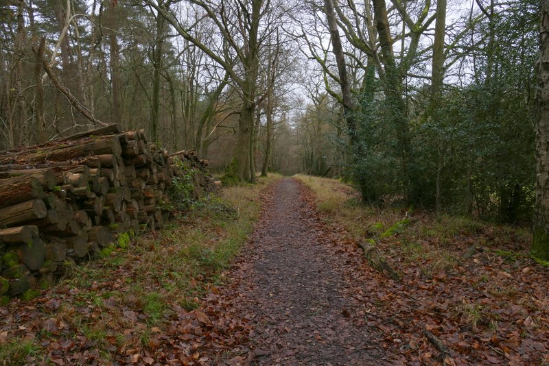
In the valley bottom I crossed a bridleway and continued quite steeply uphill across a large arable field, now heading towards Turville Heath. When the gradient eased close to a clump of trees, I paused to take some photos and then continued along the path, which now rose very gently for a few hundred yards more between a hedgerow on my left and a fence on my right. When I reached a path junction (where there were old metal railings on the left), I forked half-left through an old metal kissing-gate, cutting across the corner of a large pasture and then crossing a smaller pasture (empty today, but it sometimes contains Jacob's Sheep). The path then crossed a meadow, or area of long grass, next to a house (to my left), before going through a couple of gates and following the house's drive to a road junction at Turville Heath.
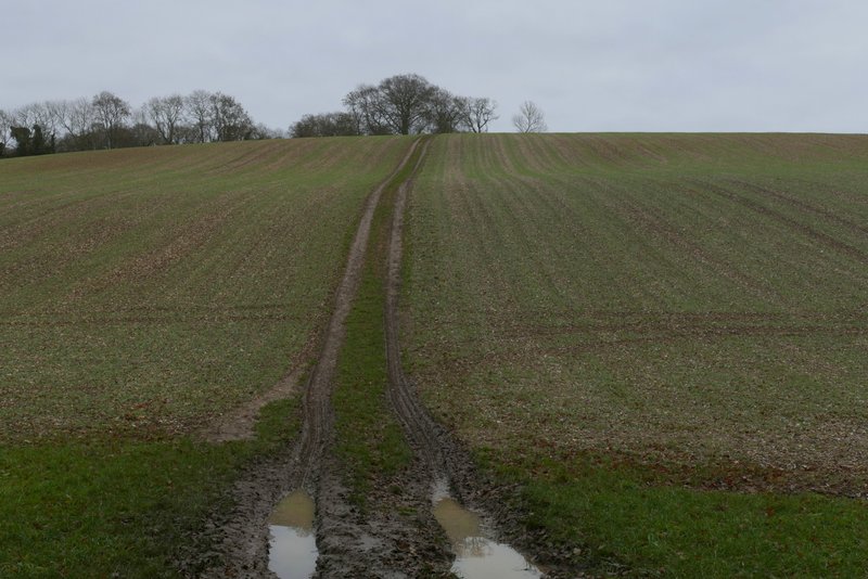
The path continuing towards Turville Heath
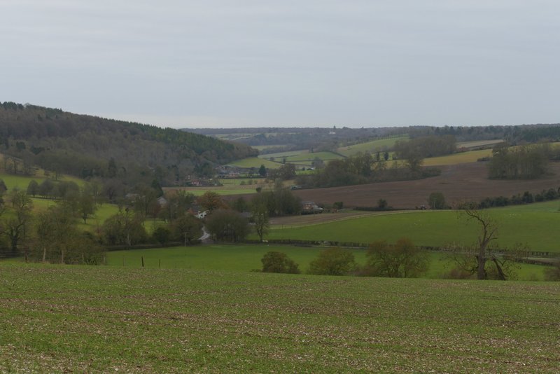
View right to Stonor and the Stonor valley from the path to Turville Heath
The path to Turville Heath
The path to Turville Heath
The path to Turville Heath, where I forked left
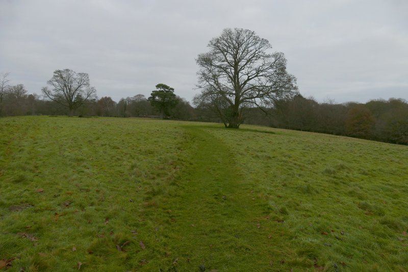
The path to Turville Heath
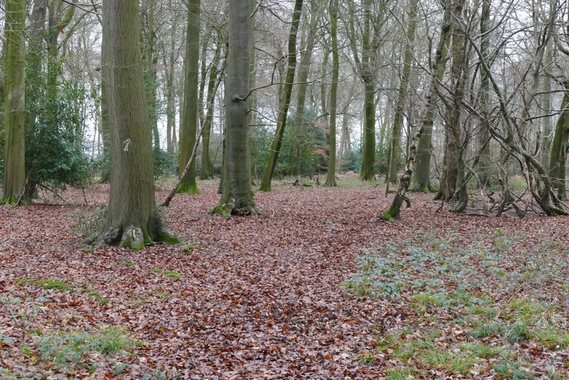
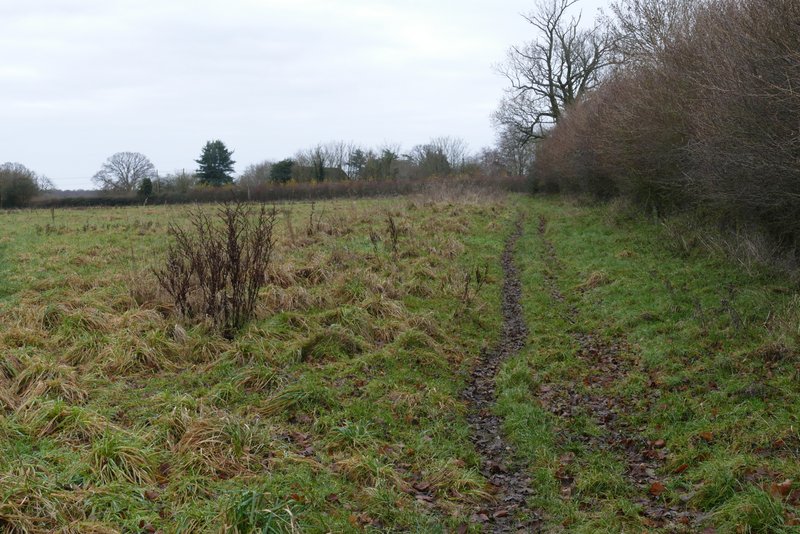
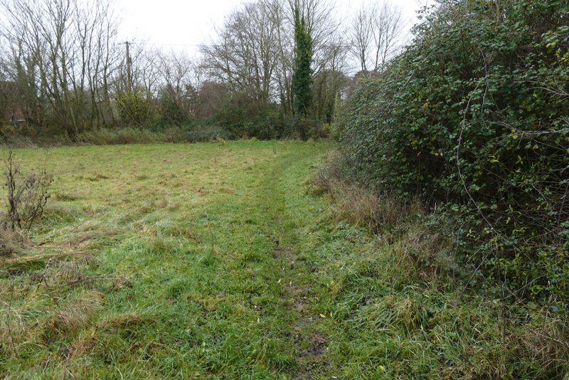
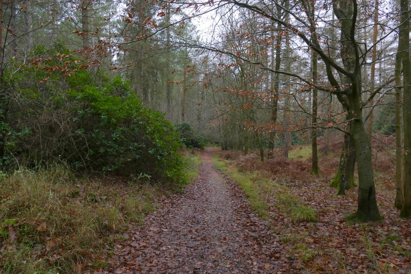
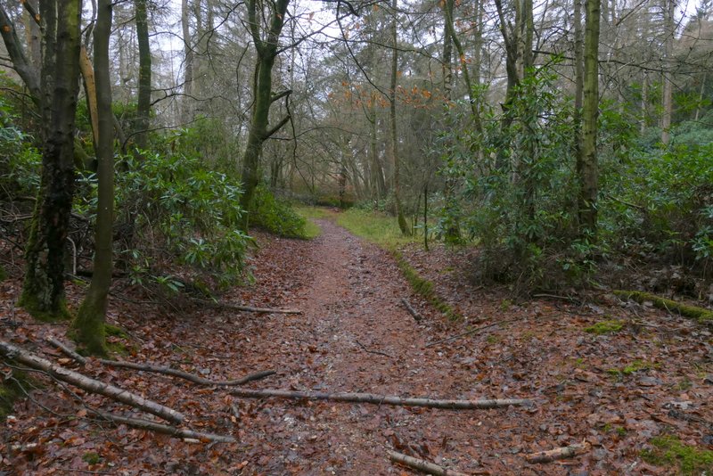
I went straight on down a lane starting on the other side of the junction. After a quarter of a mile or so I reached a lane junction. I took the left fork here for a few yards, before taking a footpath on the right that entered Summer Heath. I followed the path straight on through Summer Heath, going straight on where a waymark post indicated a path crossroads. Shortly after this, the path went through a gap in a wooden fence (which I presume is the boundary between Summer Heath and Summerheath Wood). Immediately after this, there was another path junction where I took the left fork, continuing through the wood (rather faint arrows on trees) to reach a gate on its edge (the OS map shows I must have crossed another path just inside the edge of the wood, but I don't remember that). From here there was a fine view towards Fingest, which sits at the confluence of a number of valleys, with slopes leading up towards Cadmore End beyond.
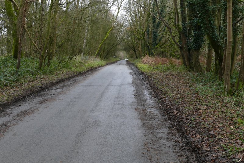
The lane through Turville Heath
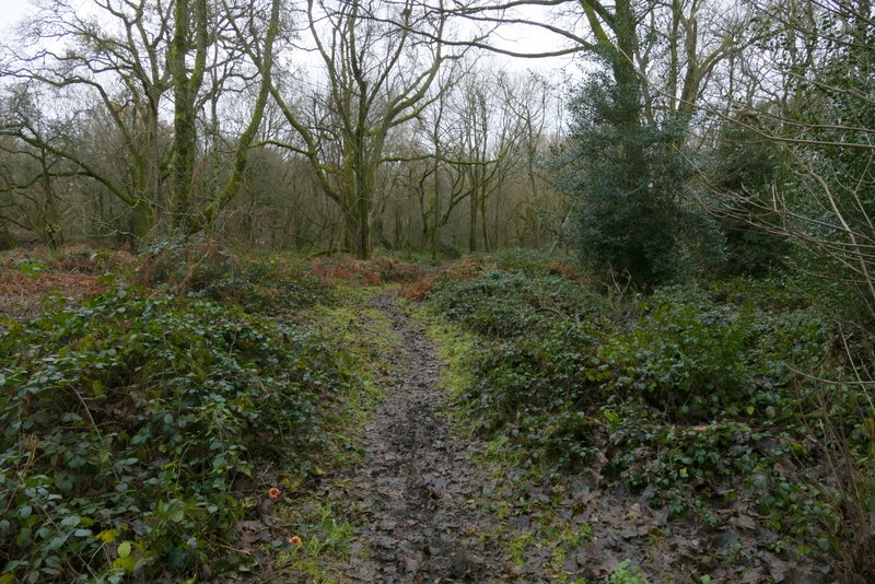
The path through Summer Heath
The path through Summer Heath
The same path now in Summerheath Wood
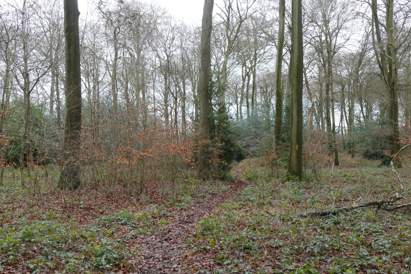
The path through Summerheath Wood
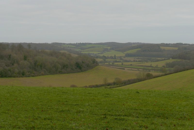
The view towards Fingest from the edge of Summerheath Wood
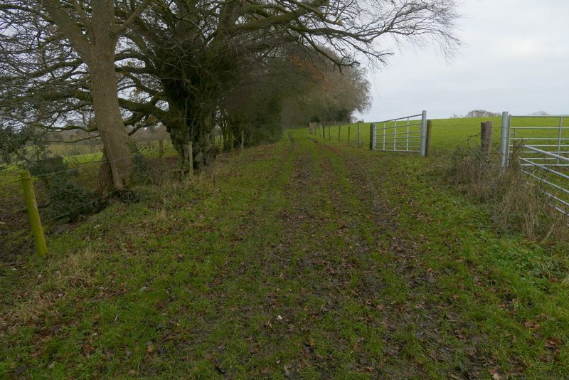
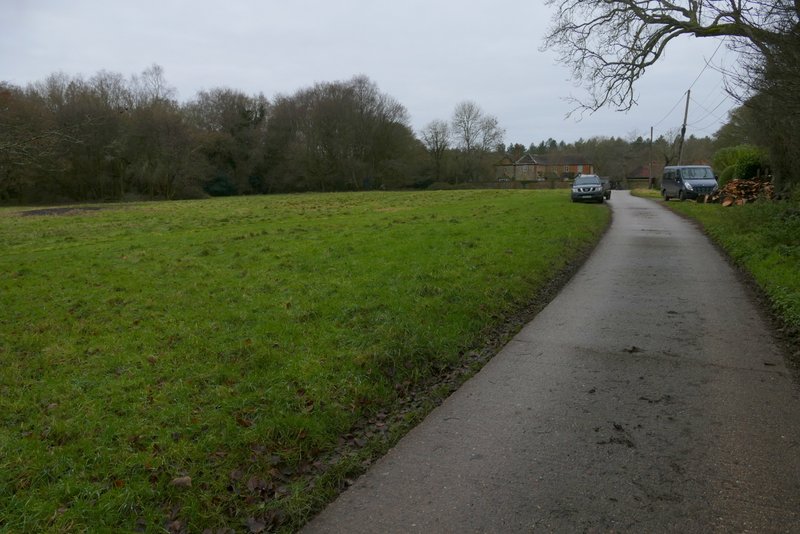
The path continued across a corner of a large pasture, to reach a junction with another path by a gate. I went through this gate and a second one a few yards later. The path continued alongside a hedgerow on my right, then crossed a drive and continued through a small paddock or pasture to reach the green at Southend, where I turned right.
The path continuing from Summerheath Wood
The path to Southend
The path to Southend
The green at Southend
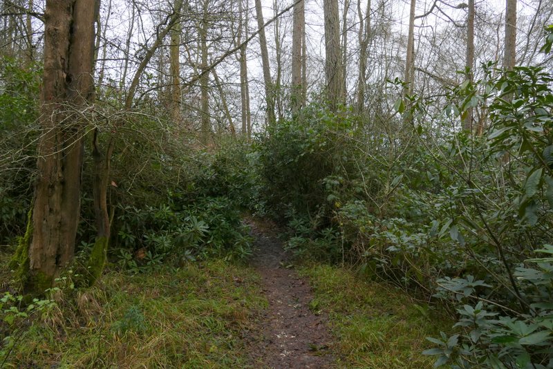
I continued beside the green on my left to reach the lane through Southend, where I turned left. After a couple of hundred yards or so I turned right onto a path that started down a track, with a couple of cottages initially on my left and a wood on my right. After passing a field on the right I was enclosed in woodland (the map shows the path passing between Kildridge Wood, to my left, and Balham's Wood on my right), and the path started to drop downhill. After a few hundred yards a white arrow showed where the path forked slightly left from the now rather narrow track. The path now passed through an area of Rhododendrons to reach the tall pedeatrian gate giving access to the deer park surrounding Stonor House.
The path from Southend to Stonor Park (the deer park round Stonor House)
The path from Southend to Stonor Park
The path from Southend to Stonor Park
The path from Southend to Stonor Park