Pete's Walks - Maidensgrove Common, Turville Heath, Middle Assendon (page 3 of 4)
If you are considering walking this route yourself, please see my disclaimer. You may also like to see these notes about the maps and GPX files.
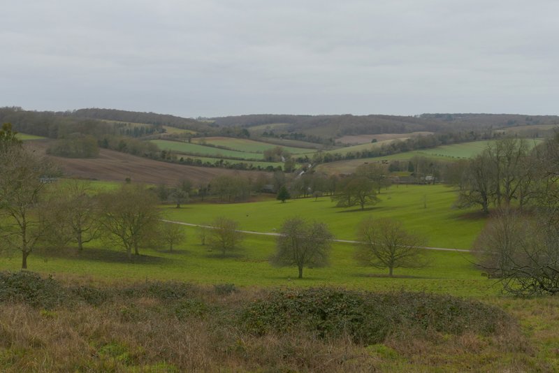
The path continued very gently downhill through the deer park, initially through more woodland then through typical parkland of grass and scattered trees. I soon saw the outbuildings of Stonor House on my right, and further on the grand house itself came fully into view, with its ancient chapel at the front and its formal gardens to the rear. There was also a fine view looking half-right towards Pishill and Pishill church, where I'd been earlier. Despite having walked this path numerous times, I'm not in the least bored with it and it's still one of my favourite paths in the Chilterns (though it's much better in this direction, as it's downhill and the best views are ahead of you). When I eventually reached the end of the deer park, I turned left to follow the road through Stonor.
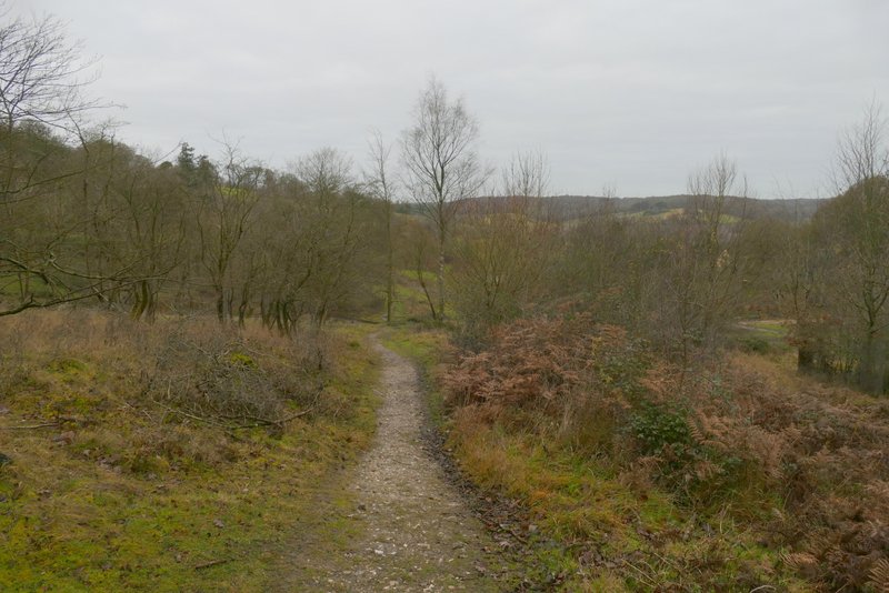
The path continuing through Stonor Park
The path through Stonor Park
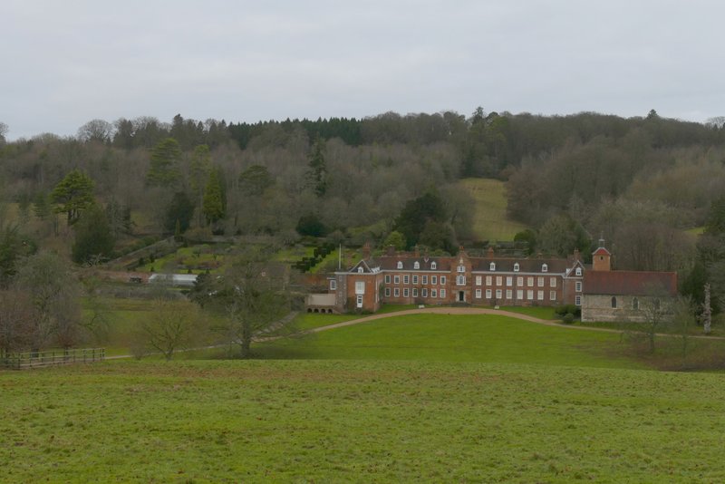
Stonor House
View towards Pishill church from the deer park
The path through Stonor Park
The path through Stonor Park, approaching the road through Stonor
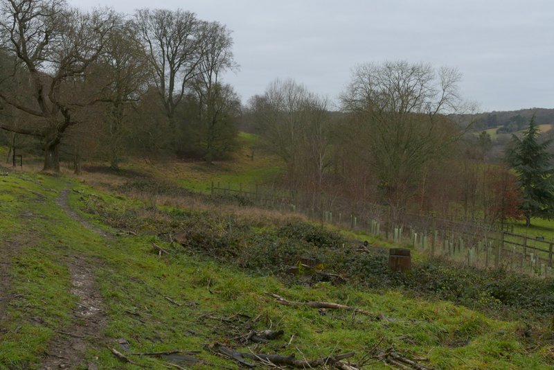
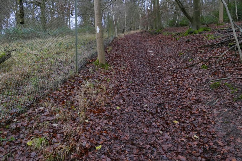
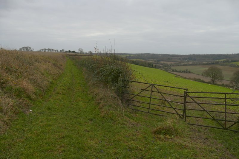
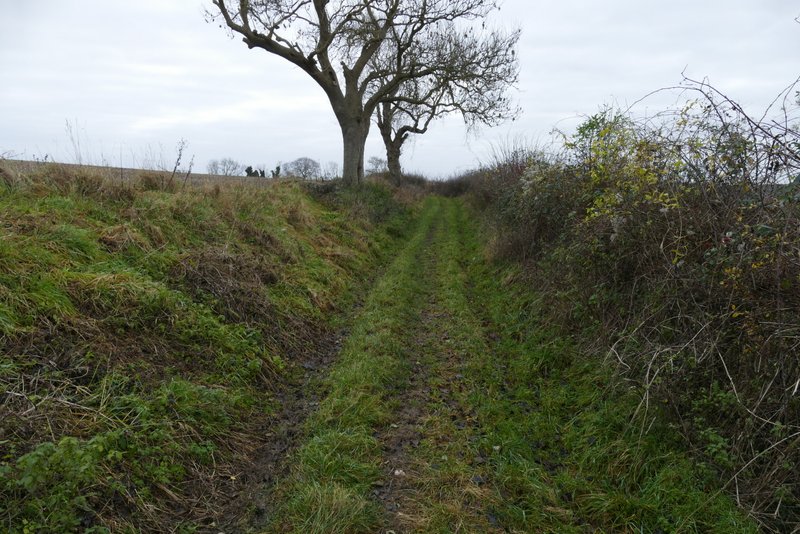
I went straight on where a lane went right to Maidensgrove, and then after another hundred yards or so took a bridleway on the left. This passed between two gardens, then rose quite steeply up through Almshill Wood, with the tall wire fence of the deer park on my left. I always find this bridleway a bit of a challenge, and being unfit and overweight I took my time over it today, but eventually plodded to the top. The bridleway ended where it left the wood and met another bridleway at the top of the slope. Here I turned tight, following the bridleway along a track to reach Coxlease Farm where I went half-left through the farmyard.
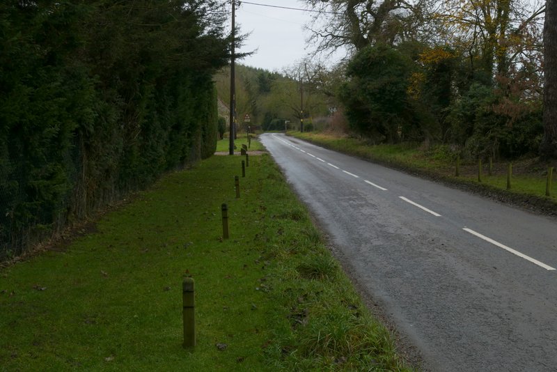
The road through Stonor

The start of the bridleway up through Almshill Wood
The bridleway up through Almshill Wood
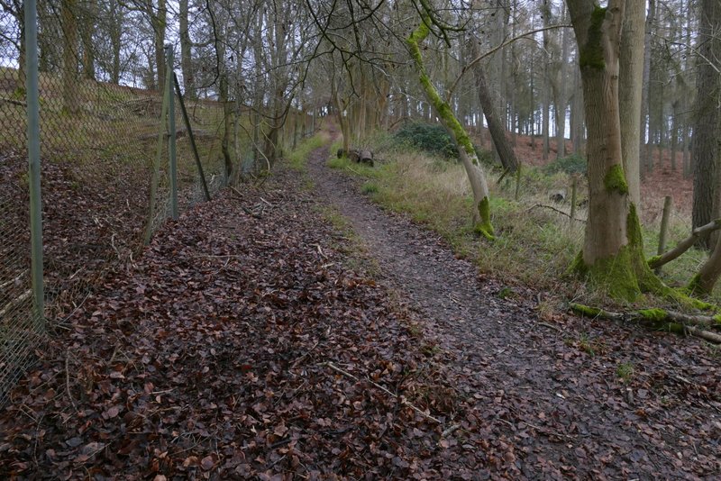
The bridleway up through Almshill Wood
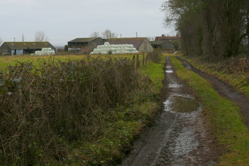
The track leading to Coxlease Farm
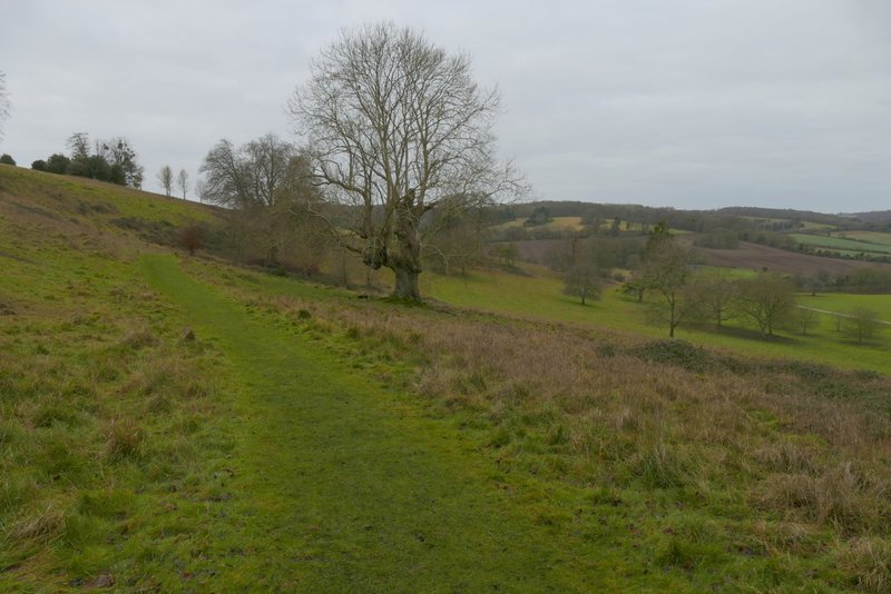
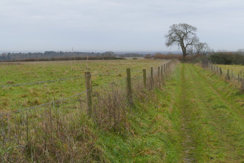
I went through a gate and turned right, immediately going through a pedestrian gate and continuing along a track with the farmhouse to my right (I noticed the sign on the farmhouse gate spelled the name as Cocklease, rather than Coxlease which is how it is spelled on the OS map). The farm track soon turned left, and now there were very far-reaching views ahead of me over the top of the Thames valley to Berkshire. Again this track is one of my favourite paths in the Chilterns, because of the views - soon there were nice views along the Stonor valley, downhill on my right. After a while the track had a hedge on the right and a slight embankment on the left.
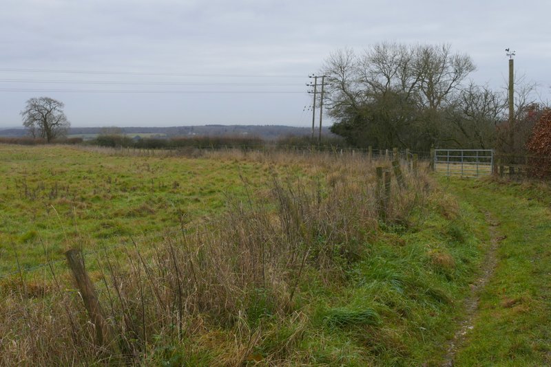
The path from Coxlease Farm to Middle Assendon
The path from Coxlease Farm to Middle Assendon
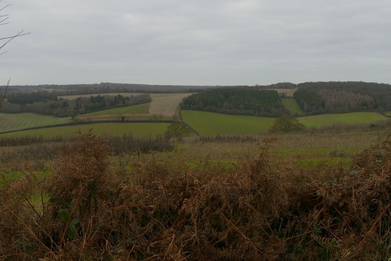
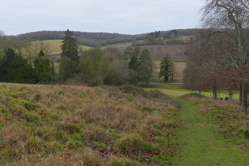
View across the Stonor valley, from the path from Coxlease Farm to Middle Assendon
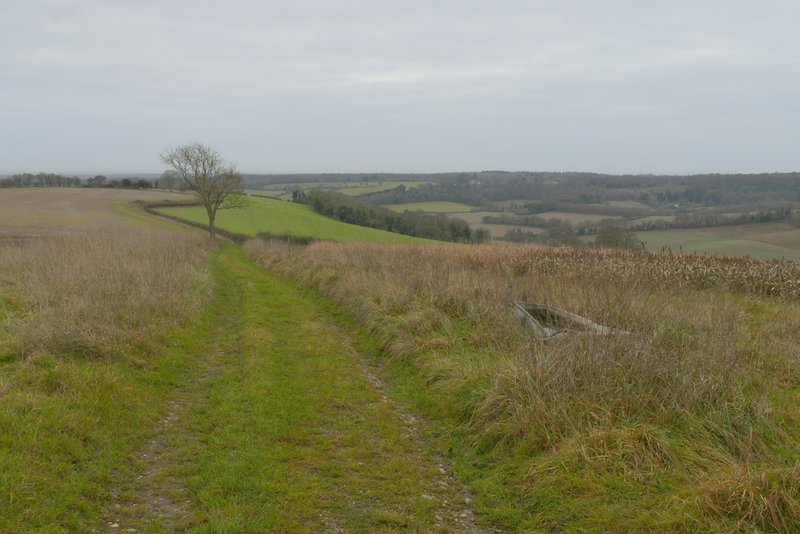
The path from Coxlease Farm to Middle Assendon
The path from Coxlease Farm to Middle Assendon
The path from Coxlease Farm to Middle Assendon