Pete's Walks - Pitstone Hill and Wigginton (page 3 of 5)
If you are considering walking this route yourself, please see my disclaimer. You may also like to see these notes about the maps and GPX files.
I continued straight through the hamlet, the byway continuing along a track a short way before descending through a wood. On the far side of the wood I went through a tall gate into a sheep pasture, and turned left onto a footpath which quickly reached a field corner. The footpath continued across a large meadow, gradually moving away from the left-hand hedge and dropping downhill until it reached a gate in the right-hand hedge. It went left after the gate, following a hedge and then a fence to the next field corner. It then crossed the next field diagonally, half-right, towards Norcott Court Farm.
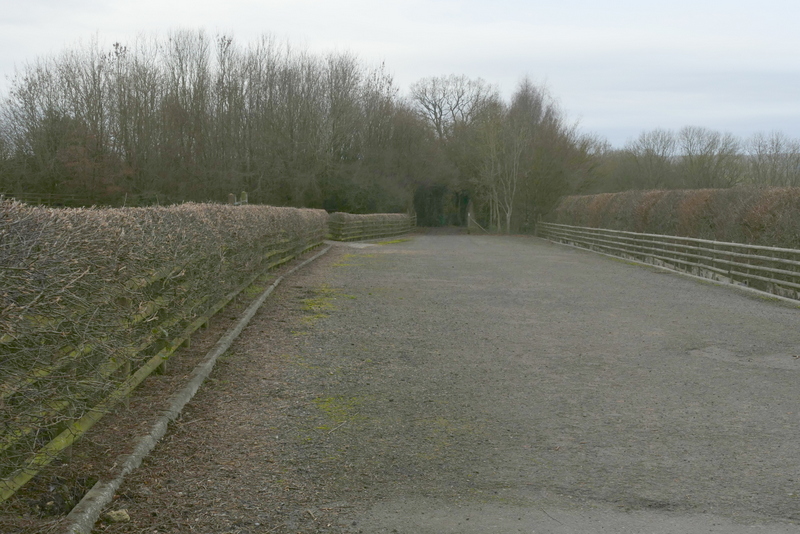
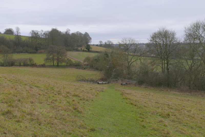
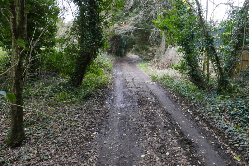
The path leaving Tom's Hill
The path from Tom's Hill
The path from Tom's Hill
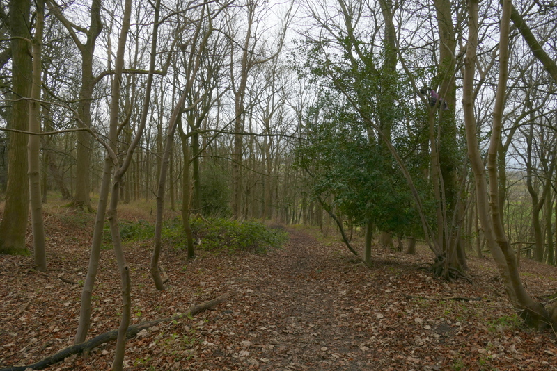
The footpath to Norcott Court Farm
The footpath to Norcott Court Farm
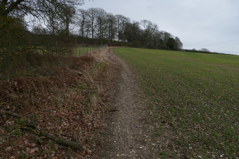
The footpath to Norcott Court Farm
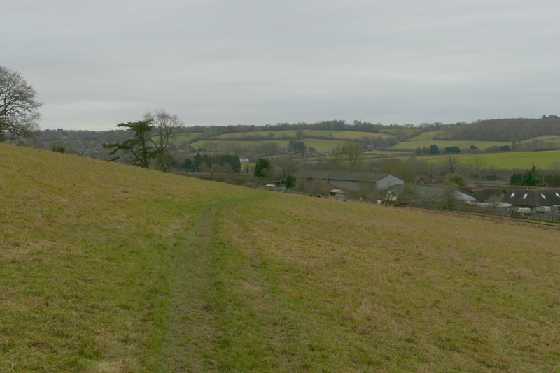
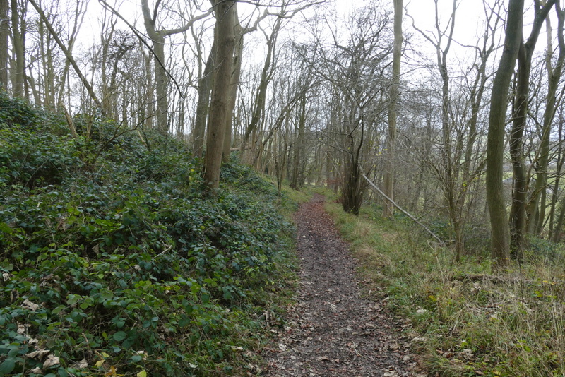
The footpath approaching Norcott Court Farm
In the far corner of the field I went through a gate and followed a short path past the outbuildings of Norcott Court Farm before turning left along the farm drive. After a few yards the footpath went right, along a track. I followed the track until another path went right, between a hedge and a fence on the right. I soon reached another path junction, where I turned left and crossed a field to reach a footbridge over a railway line (the West Coast main line). The path continued across another field to reach a lane, where I turned right to head into the hamlet of Cow Roast. The lane soon turned left to go over the Grand Union Canal.
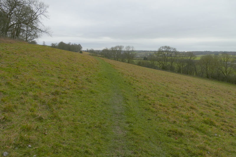
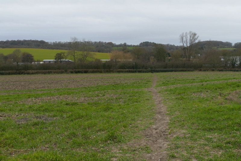
The footpath from Norcott Court Farm
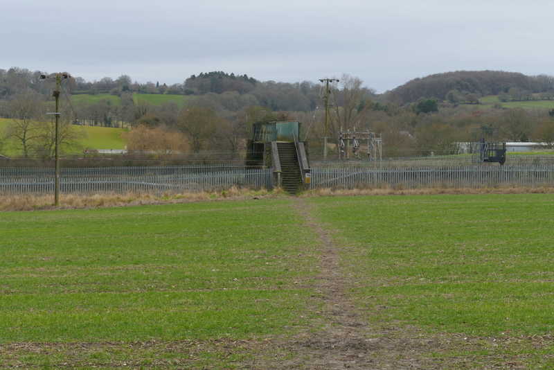
The path from Norcott Court Farm approaching the railway line
The path from Norcott Court Farm just after the railway line
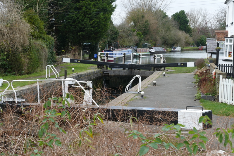
The lock on the Grand Union Canal at Cow Roast
At the end of the lane I crossed a main road (the A4521, the old A41 before the dual carriageway was built). I saw that the Cow Roast Inn (that was closed the last time I did this walk) has been refurbished and renamed The Artisan (bar and restaurant). Just to its right I took another byway, passing sports fields on my right. The byway continued between hedgerows and past a cottage to reach a lane, where I turned left and went under a bridge carrying the A41 dual carriageway (there was a minor flood here). A footpath then went right, initially along a concrete drive, then turning half-left between hedges. After a few yards I forked half-left through the hedge on my left, this path crossing a corner of a field. The path then continued along the bottom of a valley following a fenceline between paddocks. At the far side of the paddocks I entered Lower Wood.
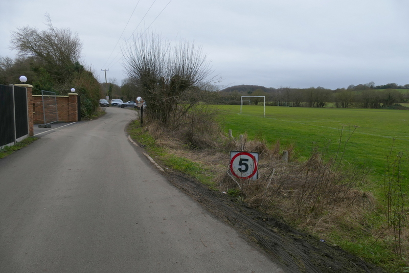
The byway from Cow Roast
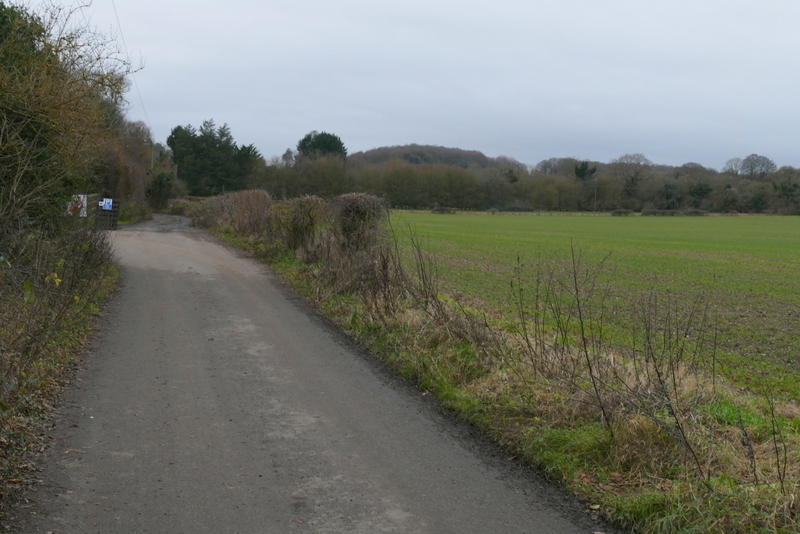
The byway from Cow Roast
The byway from Cow Roast
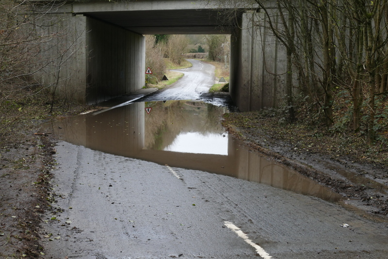
Floodwater when I turned left along the road
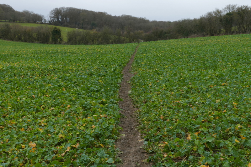
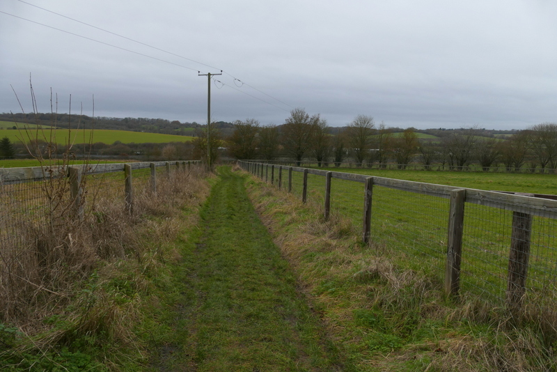
The path to Wigginton, after it forks left from the farm track
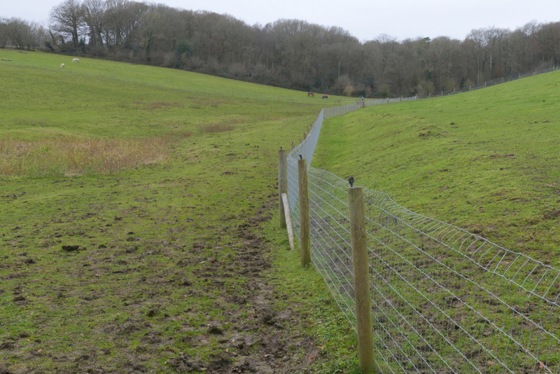
The path to Wigginton, running through the paddocks