Pete's Walks - Pitstone Hill and Wigginton (page 4 of 5)
If you are considering walking this route yourself, please see my disclaimer. You may also like to see these notes about the maps and GPX files.
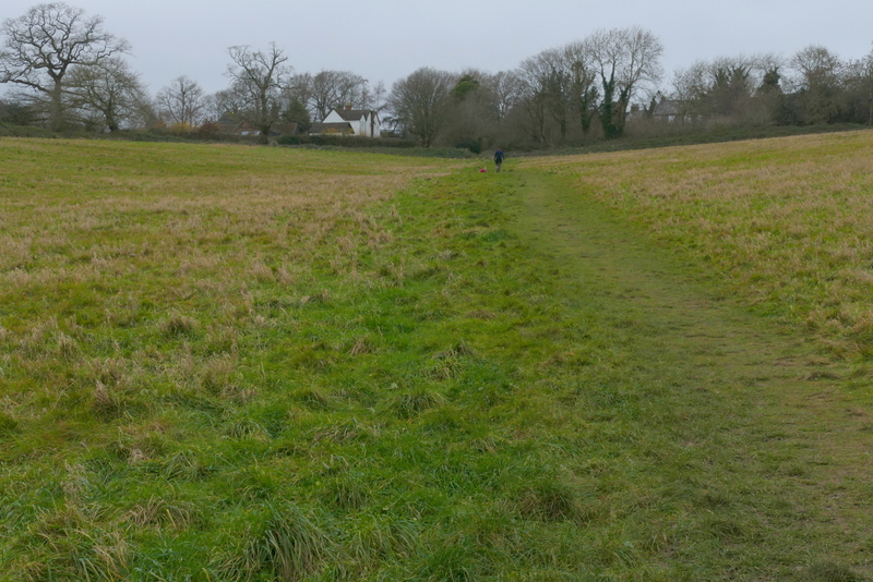
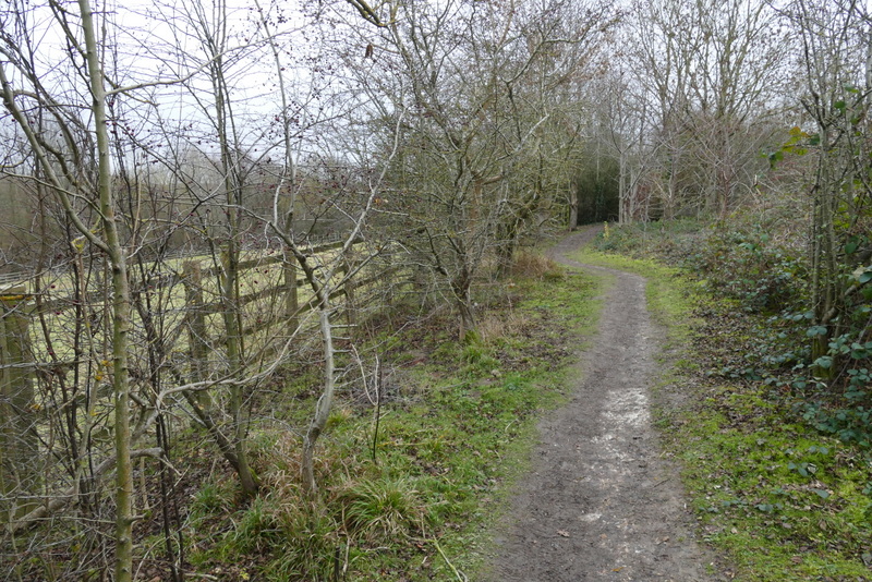
The path continued straight on through Lower Wood (another path went off left just after I entered the wood) and continued through an empty pasture or paddock on the other side. The path was very gently rising uphill now, following the bottom of a small valley to its head, next passing through a couple of meadows before it ended at a road in Wigginton. I crossed the road and went a short way left, then turned right into a small car park by a playing area. I turned immediately right again to take a path out of the car park that was almost parallel to the road, passing the Village Shop and soon reaching a residential street. I crossed this and walked down a short street opposite. At its end I went straight on down a path along the edge of a small park. I turned left in the corner of the park and then stopped to eat my lunch on a bench (it was now about 12:30).
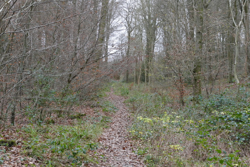
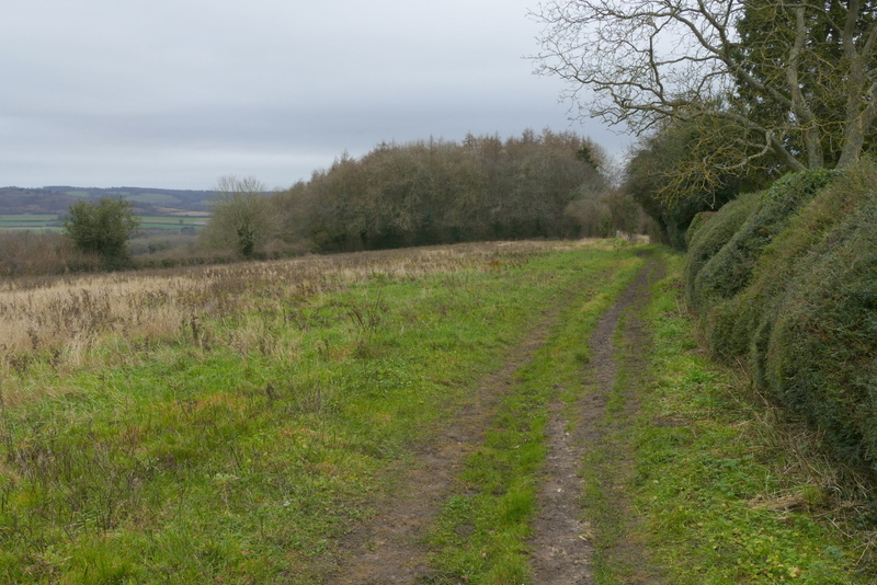
Lower Wood
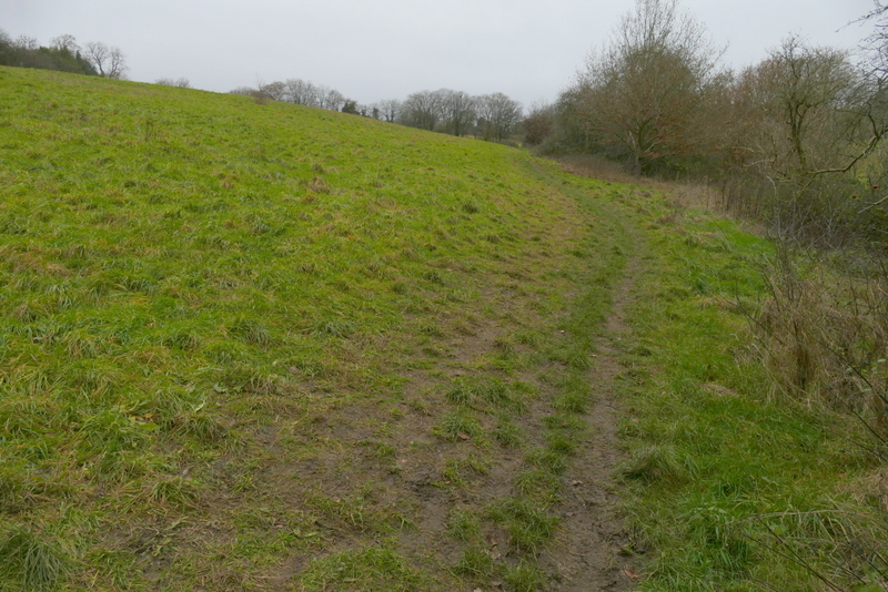
The path continuing from Lower Wood to Wigginton
The path continuing from Lower Wood to Wigginton
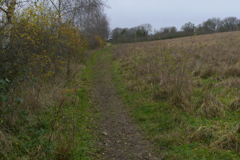
The path approaching Wigginton
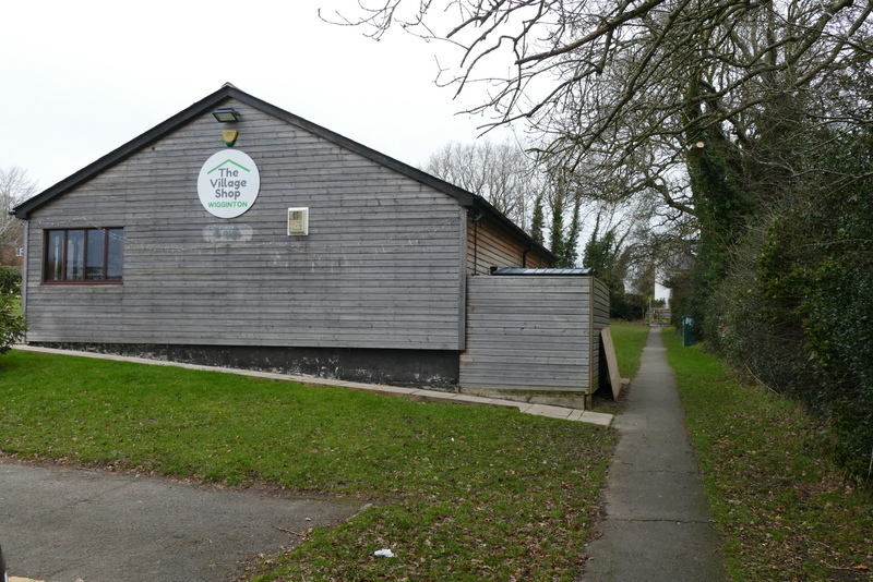
The path passing the Village Shop at Wigginton
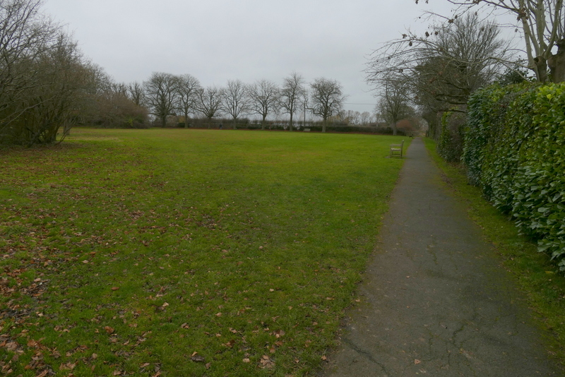
The park at Wigginton
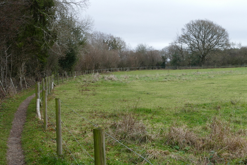
Lunch over, I went through a gate near the next corner and went straight on down the road facing me (Fox Road). Immediately after the last house on the right I turned right, rejoining the Ridgeway national trail which I'd be following almost the whole of the rest of the walk. There was a nice view out over the Vale of Aylesbury to my left as I followed a hedge and then a fence on my right. The path then continued between Langton Wood on my left and a fence to my right, with a paddock beyond. The path next ran along the left edge of an arable field - after the wood on my left ended there was again a good view out over the Vale of Aylesbury.
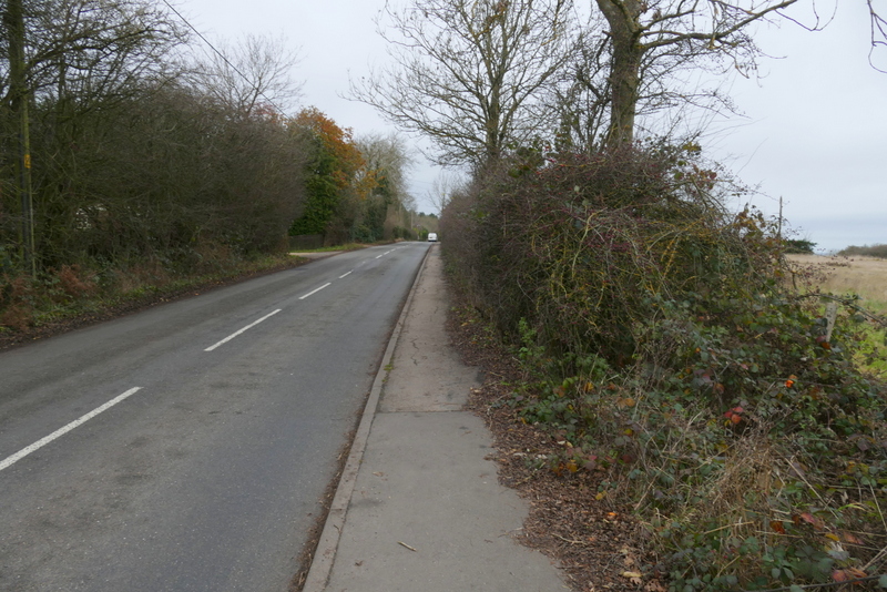
Fox Road, Wigginton
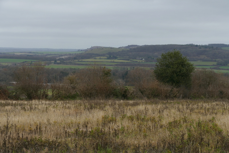
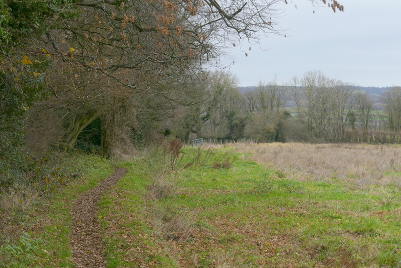
View from The Ridgeway on the edge of Wigginton - Ivinghoe Beacon is on the skyline, with Pitstone Hill in front of it
The Ridgeway as it leaves Wigginton
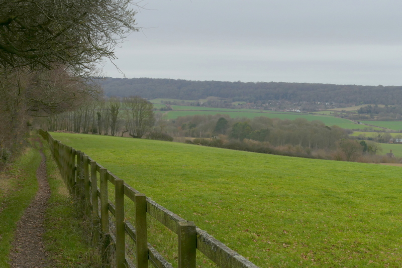
The Ridgeway between Wigginton and a lane called The Twist
The Ridgeway between Wigginton and a lane called The Twist
On reaching a lane called The Twist I went a few yards right and took a path on the other side. This ran between a tall hedge with several mature trees on my left and a fence-line on my right, with attractive views over the 'Tring Gap' ahead of me, back to where I'd been walking earlier. After several hundred yards, I crossed the footbridge over the A41. The Ridgeway then turned right for a few yards and then left, following a paddock fence on the left, to reach the A4251 main road (which I'd crossed earlier at Cow Roast).
The Ridgeway continuing the other side of the Twist
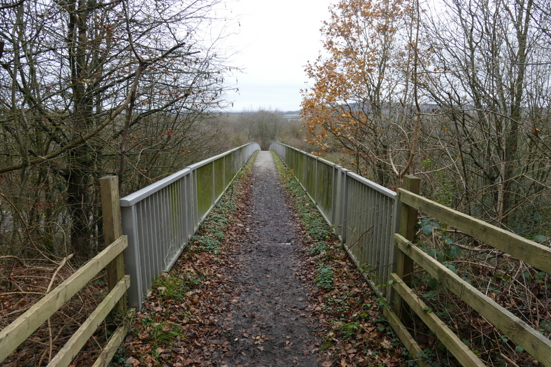
The Ridgeway crossing the footbridge over the A41
The Ridgeway just after crossing the footbridge