Pete's Walks - Ashridge, Frithsden, Ward's Hurst Farm (page 3 of 5)
If you are considering walking this route yourself, please see my disclaimer. You may also like to see these notes about the maps and GPX files.
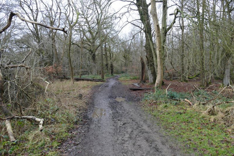
I crossed a minor road (the last section before this was very muddy, but fortunately not much more than it usually is), then the bridleway went half-right across a fairway and continued through a wide belt of trees with fairways either side. The bridleway continued through the golf course for several hundred yards. This was very muddy and I was constantly looking for the least muddy option. Beyond the golf course the bridleway continued straight on through woodland. After a while it ran for several hundred yards along a broad strip of grass with trees either side. Just after this ended, I passed close to Brickkiln Cottage (to my left) and almost immediately after this there was a huge meadow close by on my right (it is completely surrounded by trees and has a copse its in it middle). This whole section had been very muddy, making it less enjoyable than usual.
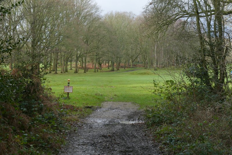
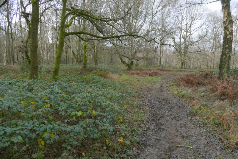
The bridleway going through Berkhamsted Golf Club, after crossing a minor road
The bridleway continuing towards Brickkiln Cottage
The bridleway continuing towards Brickkiln Cottage
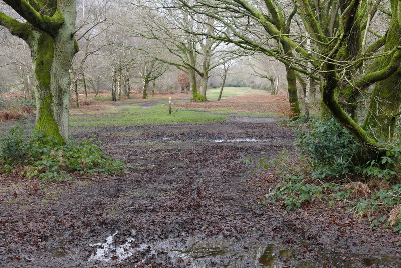
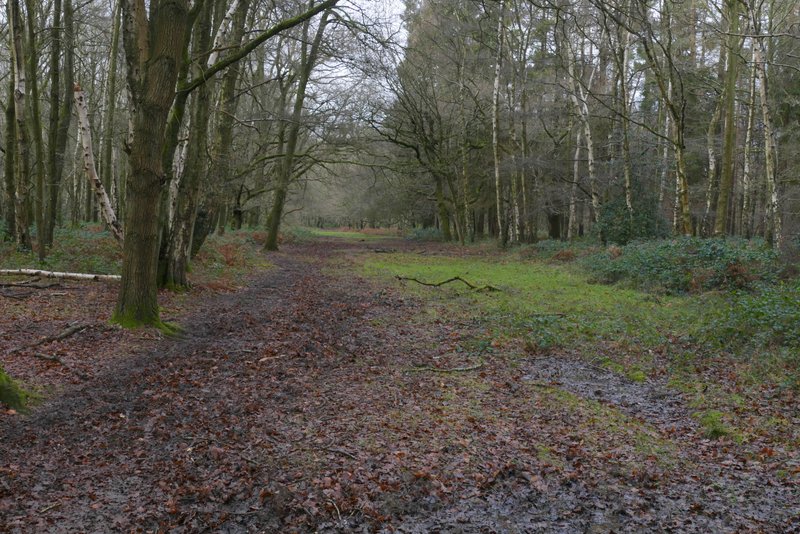
The bridleway continuing between Brickkiln Cottage and Coldharbour Farm
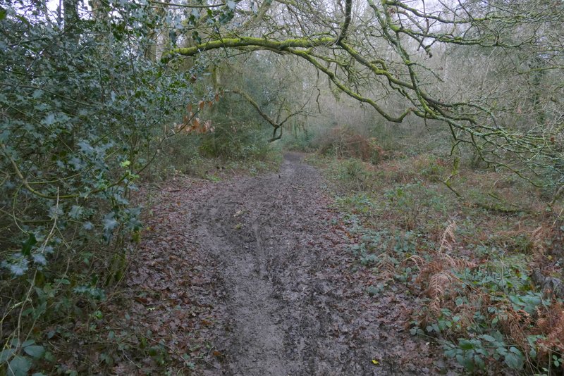
The bridleway continuing between Brickkiln Cottage and Coldharbour Farm
The bridleway continuing between Brickkiln Cottage and Coldharbour Farm (just visible on the left)
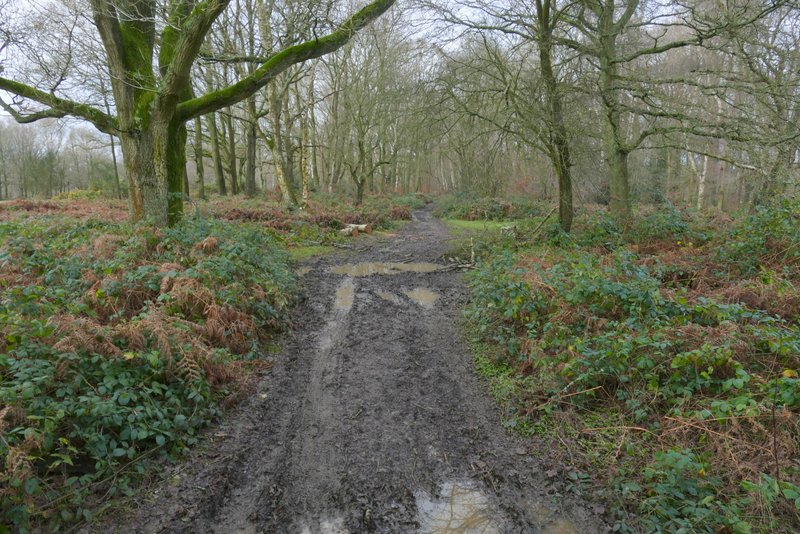
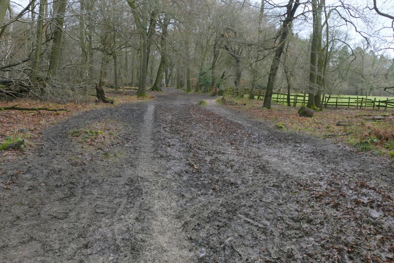
Eventually the bridleway reached a bend in a drive, with Coldharbour Farm on my left. The Ashridge Estate Boundary Trail goes left here, but I continued straight on along the drive (which gave me a brief respite from the mud) for maybe a hundred yards then took a path forking right into the trees. I followed this path for several hundred yards (again it was very muddy) until it reached a small car park on the Northchurch-Ringshall road (I was parked about a mile and a quarter to the right along this road).
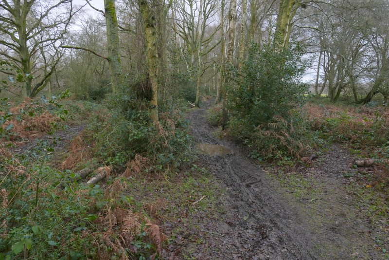
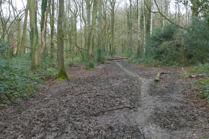
The drive continuing ahead from Coldharbour Farm (I forked right from it at the waymark post)

The path forking right from the drive
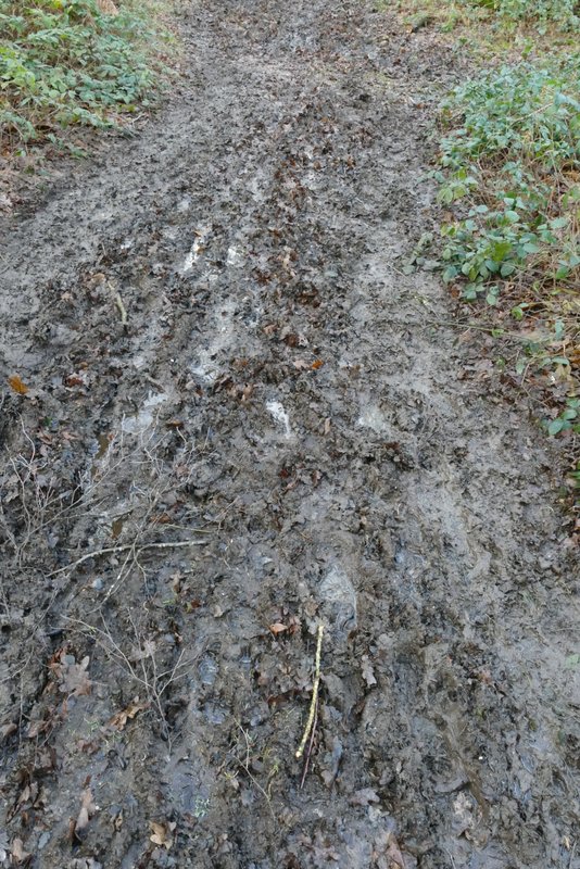
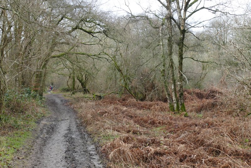
A fairly typical example of the state of the woodland paths today
Further along the path
Further along the path
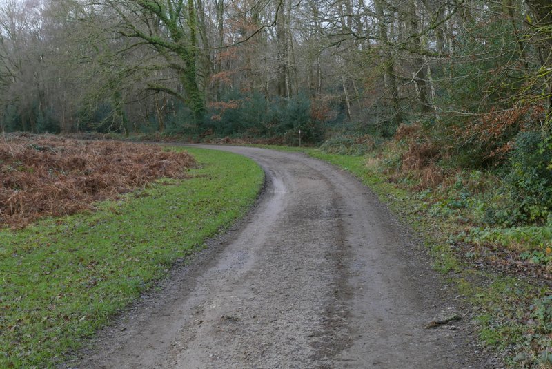
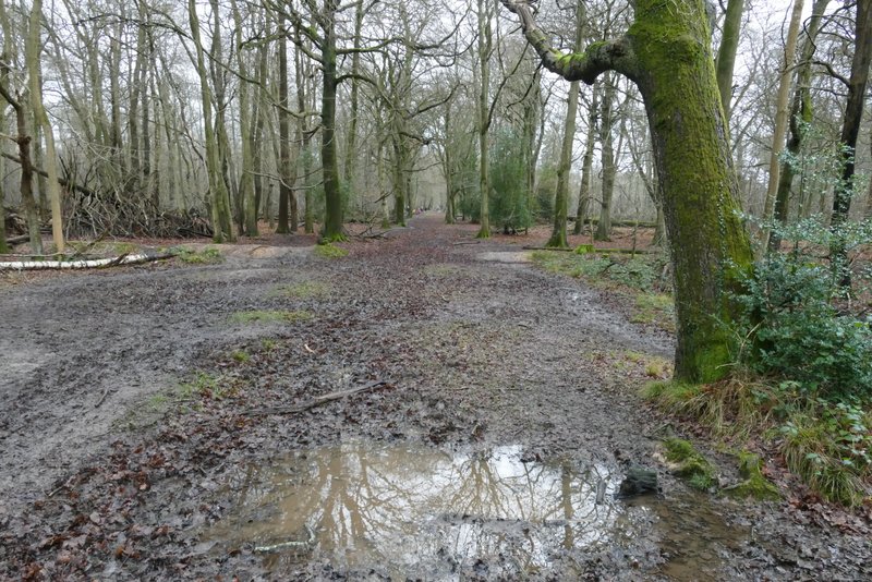
Across the road I continued along a bridleway through more of the Ashridge woods for a quarter of a mile or so, then turned right along a wide path that crossed the bridleway - I got here sooner than expected and almost missed the very obvious turning. I followed this path north for just over half a mile (I only took one photo along here, probably because I was concentrating on finding a way through the mud) until it brought me to a small parking area next to the drive to the Bridgewater Monument. I turned left along the drive (scores of cars and lots of people, as usual), keeping to the right as I approached the monument.
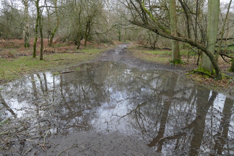
Large puddle with reflections, at the start of the bridleway on the other side of the road
Further along the bridleway
Further along the bridleway
The footpath after I turned right, heading to the drive to the Bridgewater Monument
The footpath after I turned right, heading to the drive to the Bridgewater Monument