Pete's Walks - Ashridge, Frithsden, Ward's Hurst Farm (page 5 of 5)
If you are considering walking this route yourself, please see my disclaimer. You may also like to see these notes about the maps and GPX files.
I went straight on along the path, which soon levelled out and then turned right. I then looked out for a path on the left that took me a few yards to a road, opposite the start of the drive to Ward's Hurst Farm. I then followed the drive towards the farm. On reaching the farmyard the path goes left and then right, with farm buildings either side (yellow waymarks show the way). I made my way to where there were numerous waymarks near a gate on the left, then turned right to pass between more farm buildings (I was now back on the route of the Ashridge Estate Boundary Trail), and would be for the rest of the route).
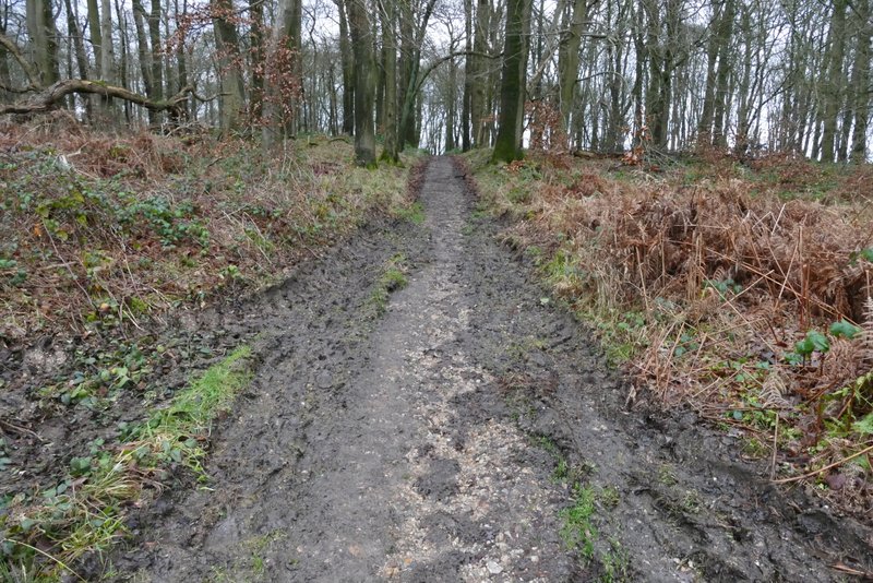
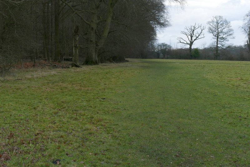
The path continuing after crossing the bridleway
The path continuing after crossing the bridleway (you can see the start of the drive to Ward's Hurst Farm on the left) - I turned right at this point

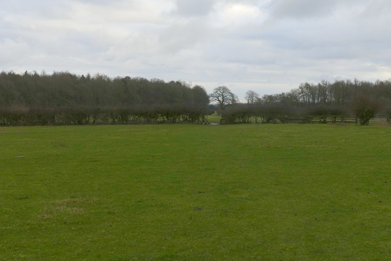
View towards Dunstable Downs from Ward's Hurst Farm
The path continued across four sheep pastures, following the edge of a wood on the right in the last of these fields. It continued under a 'green tunnel' of overhanging branches for a short way, then continued along the edge of a meadow. Through a gate it continued by the wood, then turned right (near a small reservoir), and joined a drive which it followed to a road on the edge of Ringshall.
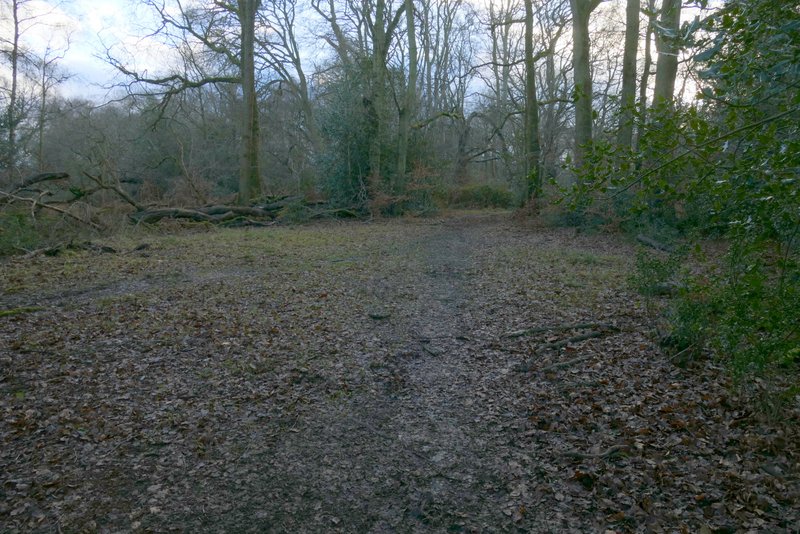
The footpath to Ringshall from Ward's Hurst Farm
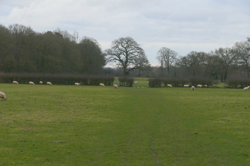
The footpath to Ringshall from Ward's Hurst Farm
The footpath to Ringshall from Ward's Hurst Farm
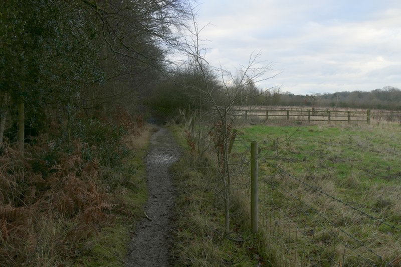
The footpath to Ringshall from Ward's Hurst Farm
The footpath to Ringshall from Ward's Hurst Farm
The footpath to Ringshall from Ward's Hurst Farm, after it turns right and passes a reservoir
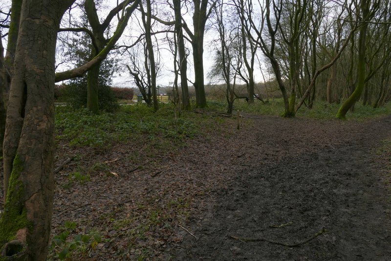
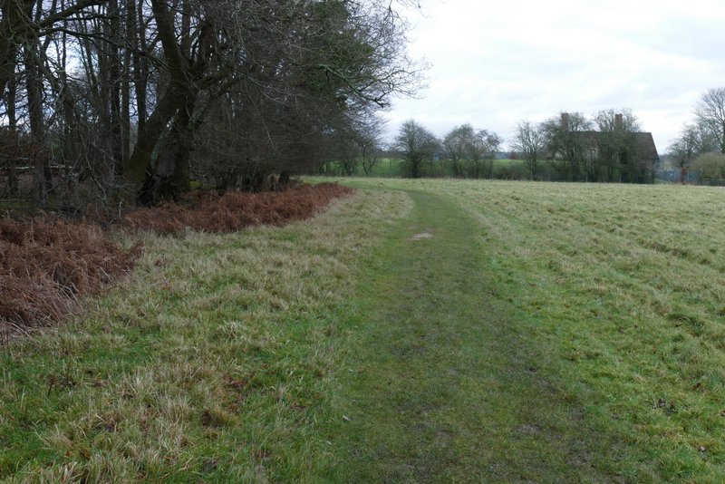
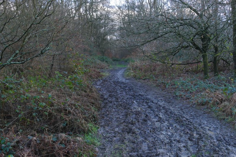
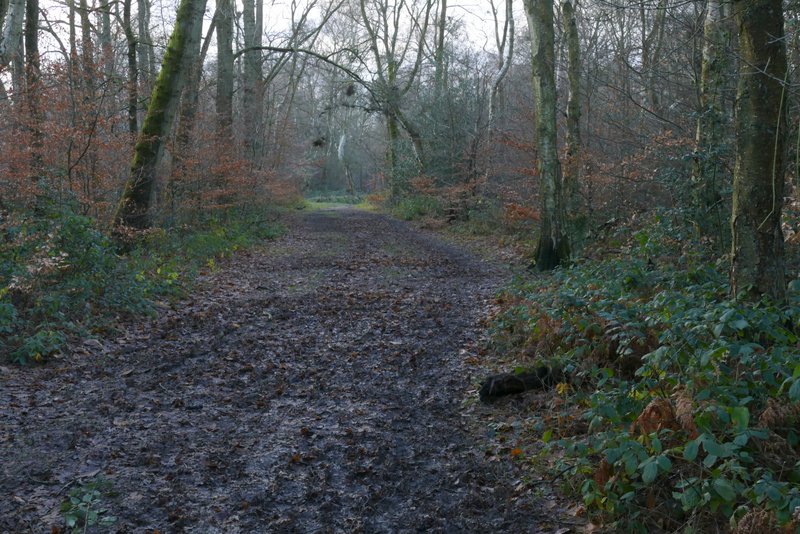
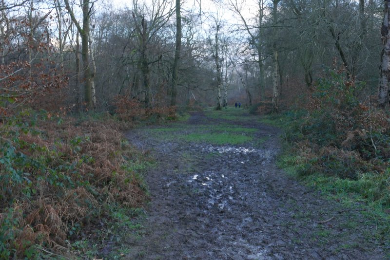
Across the road I was back in the woods of Ashridge. A path went straight on, close to a large parking area on the right, for about a quarter of a mile. I then turned left at a path T-junction (or maybe the path just turns left, I can never remember) for a short distance, then soon went right at another path T-junction, before going left at a path crossroads. This path led through the woods for about a quarter of a mile and brought me back to where I'd started at the small car park south of Ringshall.
The footpath after crossing the road at Ringshall, now back in the woods of Ashridge
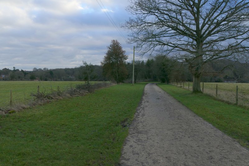
The path after I turned left
The path after I turned right
The path after I turned left again, heading to the car park where I'd started
I really like this route, it seems to currently be my 'go to' walk when I can't think of somewhere else to walk. I knew today was going to be mainly grey skies, and also that it was going to be very muddy. Even so, as you've probably gathered from my comments, I did get a bit fed up with the mud. But considering how wet the last few months have been, and also the effects of the recent Storm Henk, it was inevitable. The walk took me four and a half hours, twenty minutes longer than when I did it last May. But that was entirely down to today's conditions, I actually think I'm a bit fitter now than I was in May and was walking stronger at the end of the walk than I had done then.