Pete's Walks - Cholesbury and Herberts Hole (page 5 of 6)
If you are considering walking this route yourself, please see my disclaimer. You may also like to see these notes about the maps and GPX files.
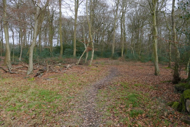
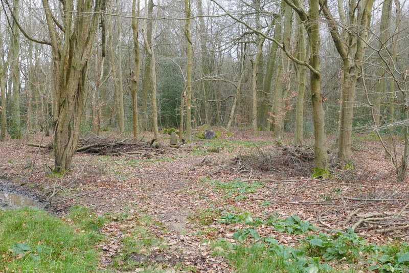
I usually refer to this as Lowndes Wood - that is the nearest name on the OS map, but the map also shows a woodland boundary after the path curves left, so it probably only becomes Lowndes Wood at that point. Anyway I followed the path through the woods for almost half a mile.
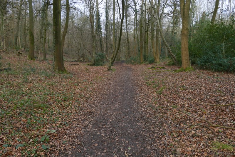
The path heading to Lowndes Wood
The path heading to Lowndes Wood
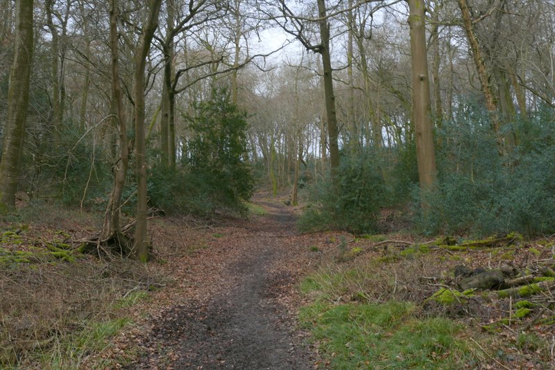
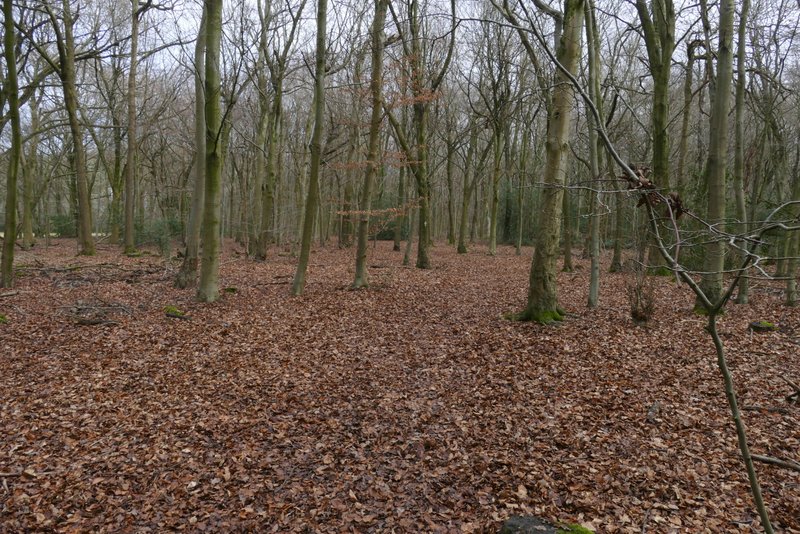
The path continuing through Lowndes Wood
The path continuing through Lowndes Wood
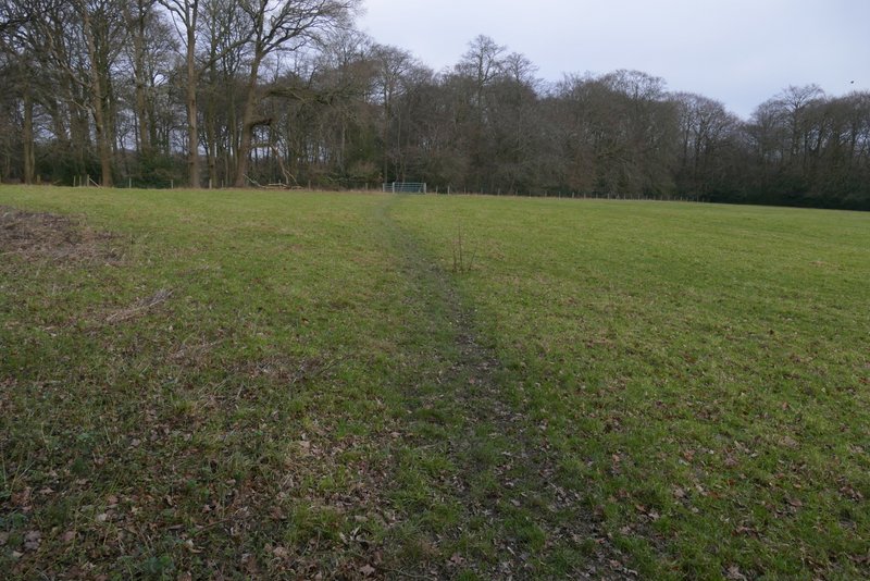
On leaving the wood I went straight on across a pasture to a gate - I didn't go through it, but turned sharply right onto a path that went across a corner of the pasture to another gate (this was the start of another section I'd not walked before). There had been a path going straight to this gate from where I left the wood, but that is not shown on the OS map so is not a right of way. The path then continued through a wood in more or less the same direction. After a while I went over a stile in a fence, I think at this point the wood becomes Lowndes Wood again. After walking through the wood for a quarter of a mile or so, I reached a road where I turned left.
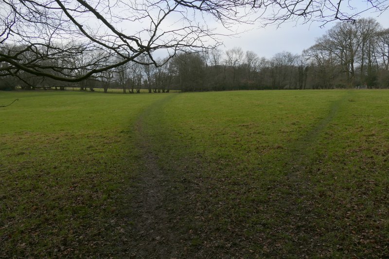
The pasture after Lowndes Wood - I went straight on across it, the apparent path forking right here is not on the map and so not a public right of way
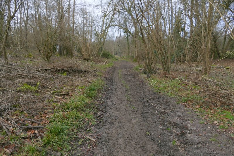
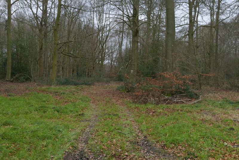
The path after I turned sharp right on the other side of the pasture
The path continuing through a wood (not named on the OS map)
Further along the same path (just before a stile in a boundary fence, presumably where the wood becomes Lowndes Wood again)
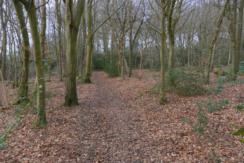
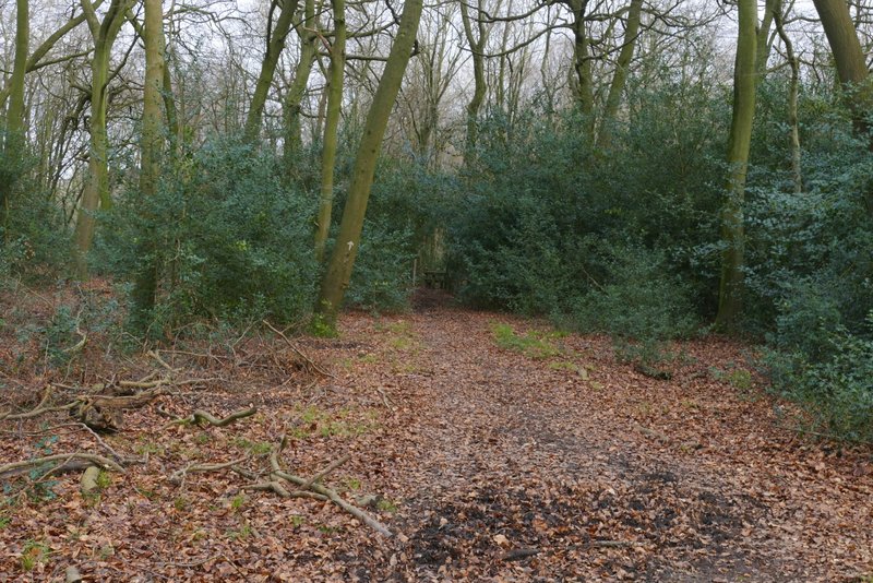
The path continuing through Lowndes Wood
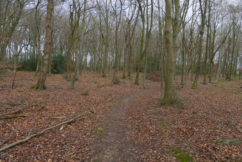
The path continuing through Lowndes Wood
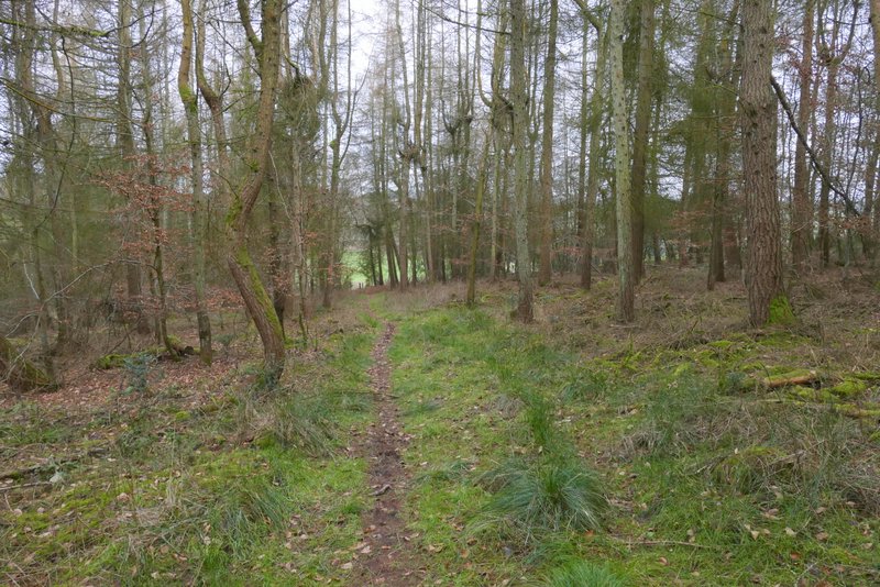
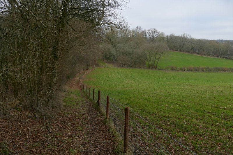
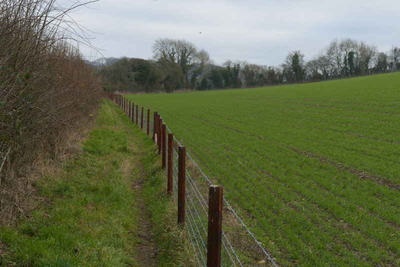
I followed the road for about a quarter of a mile, almost to the far side of Bray's Wood on my right. I then took a path that ran almost diagonally through the wood, as usual indicated by white arrows on trees (this next section of the route I'd only walked twice before, both times in the opposite direction). The wood was mainly deciduous, but there was one section of conifers. On emerging from the wood, the path turned left alongside the wood and dropped downhill - there was a fence on my right, new since I was last here in August 2022. In the field corner the path turned right, still with the new fence on right. After a few hundred yards it went through a gap in the hedge to my left to reach a lane by Three Gates Farm.
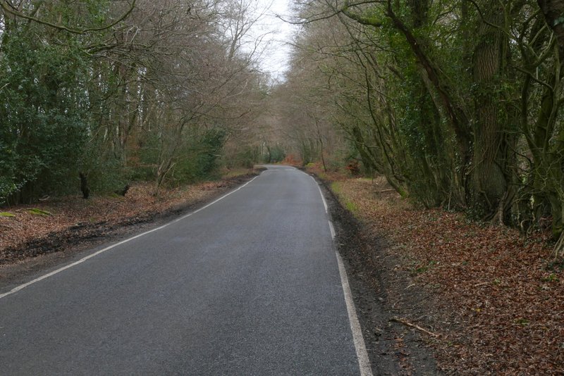
The road after I turned left on the edge of Lowndes Wood
The path through Bray's Wood
The path through Bray's Wood
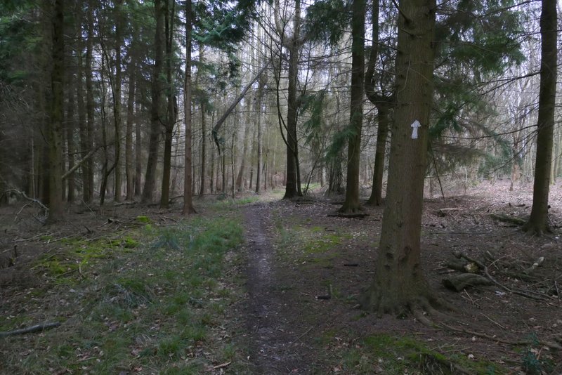
The path through Bray's Wood
The path through Bray's Wood
The same path continuing beside Bray's Wood
The same path after it turns right, heading to a lane near Three Gates Farm