Pete's Walks - Cholesbury and Herberts Hole (page 6 of 6)
If you are considering walking this route yourself, please see my disclaimer. You may also like to see these notes about the maps and GPX files.
Across the lane, the path went through a gravelled area with the farmhouse to my left, then went half-left along a farm track rising gently uphill between a high hedgerow and another new fence to my right. At the end of the field on my right, the footpath turned right behind a hedgerow and soon levelled out. In the next field corner I turned left - there was another new fence on my left here. Beyond this field the path went slightly left as it dropped very gradually into a shallow valley. When it reached the valley bottom it turned right along a line of trees to reach a marker post on a track, where I turned left to reach the farm buildings at Dundridge Manor. I turned right to pass the buildings on my left, then went straight on across an arable field to a wide gap in a hedgerow, where I turned left behind the hedge and followed a path that soon brought me to the drive to Dundridge Manor. I turned right and when the drive forked I went left (as that was where the footpath sign was).
Near the start of the path from Three Gates Farm
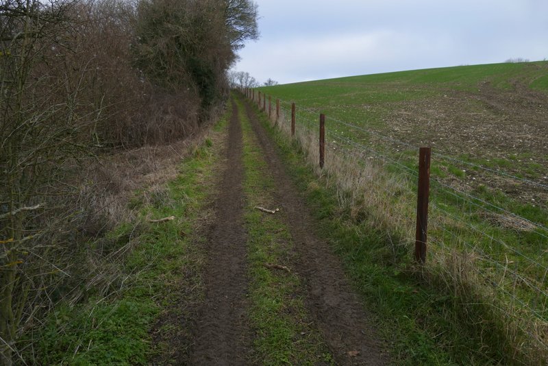
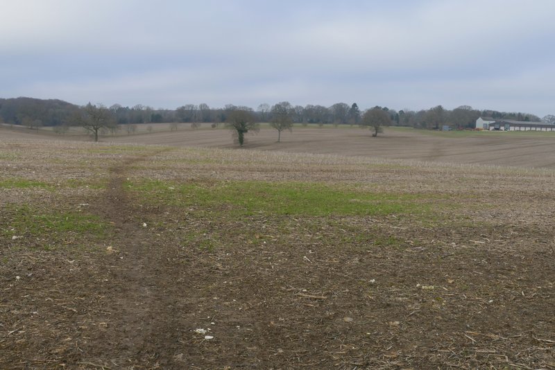
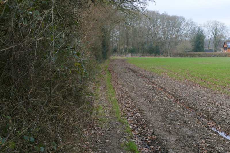
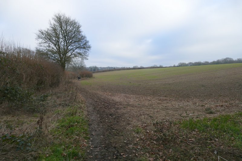
The path from Three Gates Farm
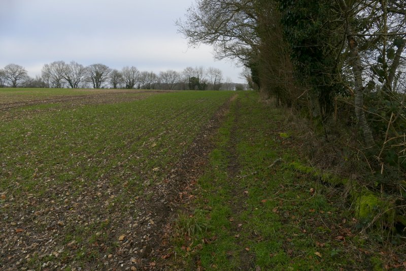
The path from Three Gates Farm, after it turns right
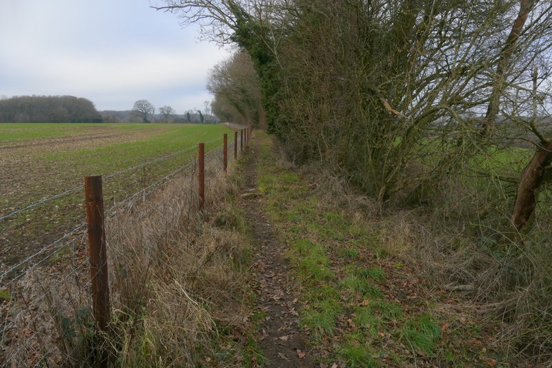
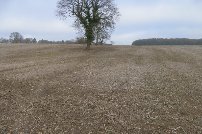
The path from Three Gates Farm, after it turns left
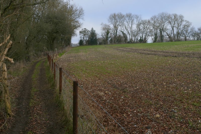
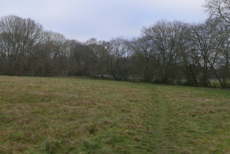
The same path continuing towards the farm at Dundridge Manor
The same path continuing towards the farm at Dundridge Manor
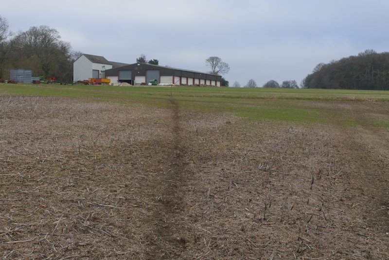
The same path continuing towards the farm at Dundridge Manor
The path from the farm at Dundridge Manor (I went through the big gap in the hedge and turned left)
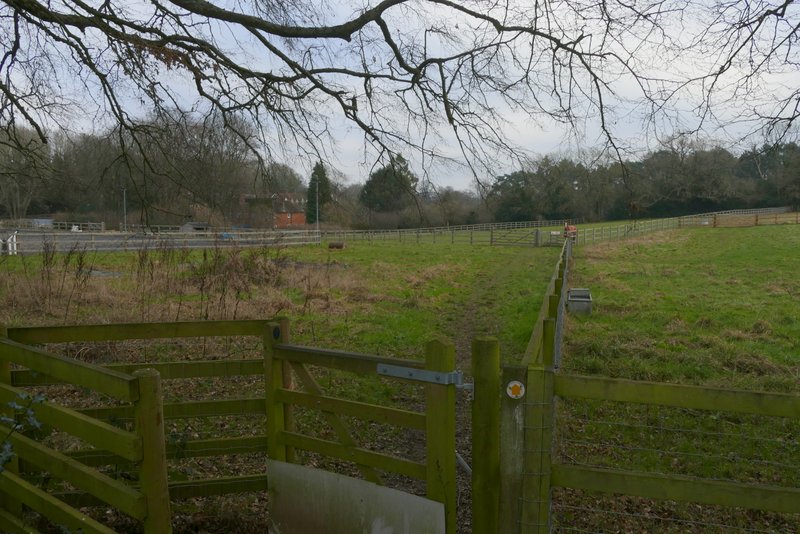
Path at Dundridge Manor
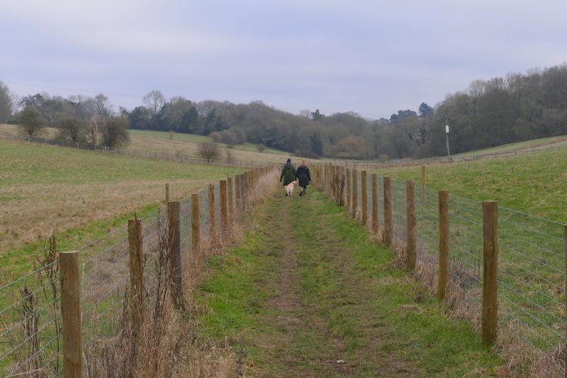
I turned right along the road for a very short way, then took a footpath on the other side. This crossed a meadow, then went through two wooden kissing-gates and followed a paddock fence to a third such gate (a horse had its head over this gate). The path went half-left across this paddock to a stile, and continued in the same direction to reach a corner of the next paddock in the bottom of a small valley. The path then ran between garden boundaries on my left and a hedge or fence on my right, When it emerged into a corner of a very large arable field, I continued along the valley bottom beside a hedgerow on my left. On eventually reaching the end of this and the following similar field, the path continued along the valley between fences on either side. On coming to a path T-Junction (actually a slightly staggered crossroads), I turned left and followed the path uphill a short way to reach the road through Cholesbury. I then just had to turn right and follow the road back to where I'd parked.
The start of the path back to Cholesbury
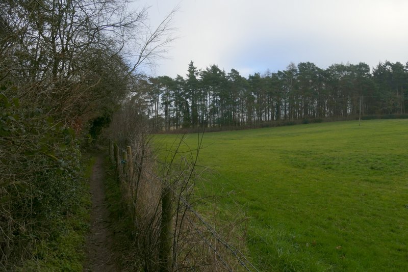
The path back to Cholesbury
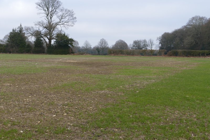
The path back to Cholesbury
The path back to Cholesbury
The path back to Cholesbury, just before I turned left
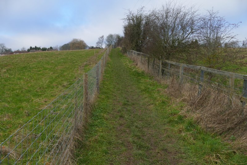
The path after I turned left, heading uphill to Cholesbury
This was a really enjoyable walk, and I don't think it was just because almost half of the route was new to me. I'd certainly like to do it again on a nice sunny day in Spring or Summer when it would be at its best. I particularly liked the roller-coaster nature of the first half of the route, where the only flat sections were the unavoidable short road walks in the villages. There were some very pleasant views along or across the valleys on this section. The second half of the route was much gentler (the OS map shows I crossed only half as many contour lines as on the outward half) and had fewer good views, but was still very pleasant and fairly typical of this part of the Chilterns.