Pete's Walks - Chenies and Ley Hill (page 1 of 6)
If you are considering walking this route yourself, please see my disclaimer. You may also like to see these notes about the maps and GPX files.
Google map of the walkDownload GPX file of the walk
I did this circular walk of about 10.7 miles on Tuesday, 16th January, 2024. It was a repeat of a walk I first did in July 2010. I used to walk this route (or variations of it) quite often, but the last time was in 2018 when I walked it in the opposite direction (clockwise).
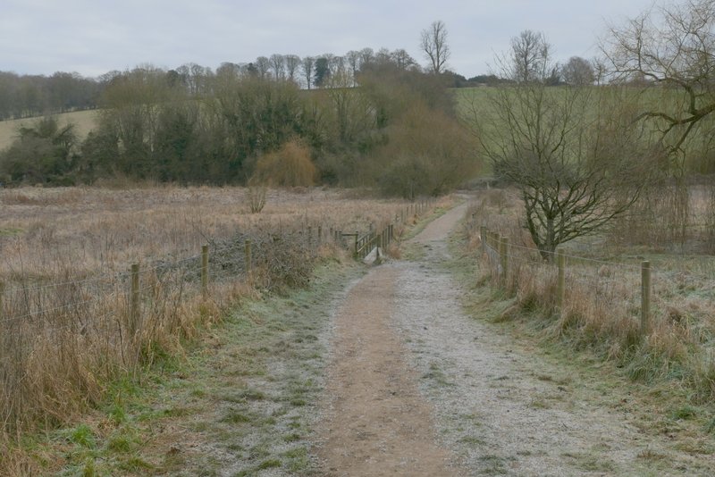
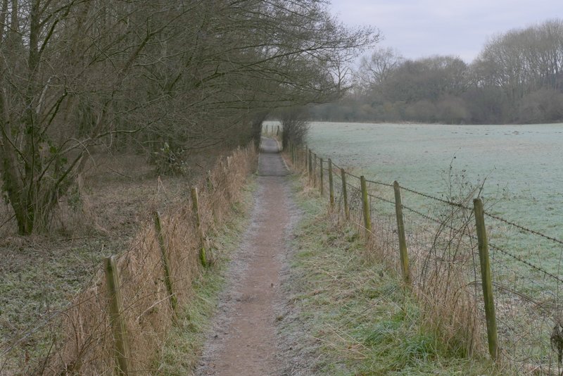
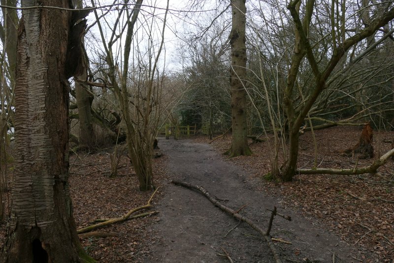
I couldn't see anywhere to park in the centre of Chenies, so I continued along the road that turns left here (coming from Chesham) and parked somewhere between the two pubs (it meant I walked about 12 miles in total today). I walked back into the centre of Chenies and just after the road turned right in the village centre, I took a footpath on the right that started down the long drive to Mountwood Farm (it was now about 10:15am). As the drive reached the farm, the public footpath went slightly right and continued beside a hedge on my left. It then ran beside a wood on my right. In the next field corner the path turned left and followed a hedge on my left for one or two hundred yards, before turning half-right and dropping downhill across a large ploughed field. At the bottom of the slope I went through a gate and immediately turned left at a path T-junction.
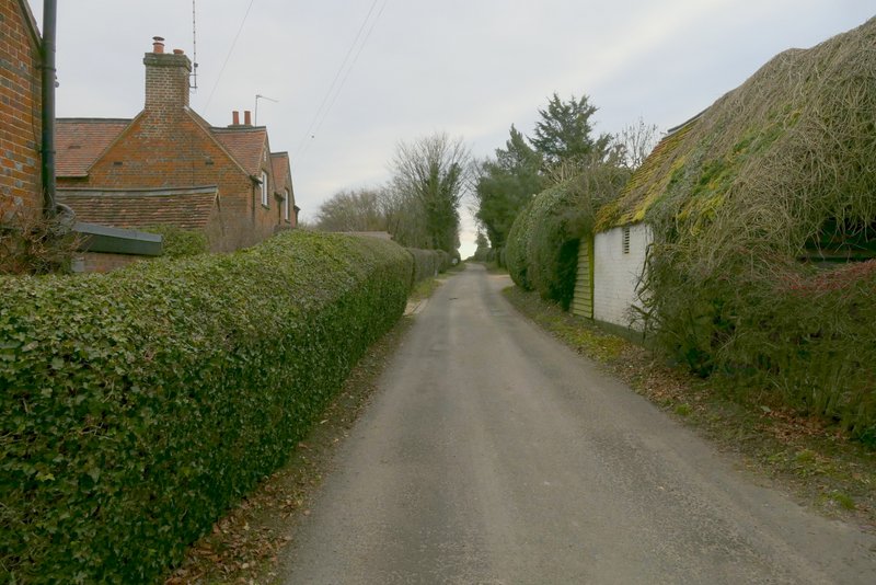
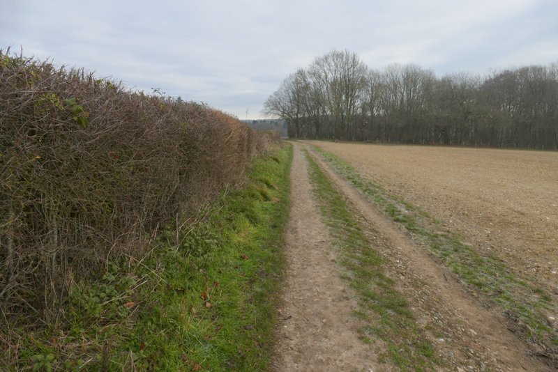
The start of the drive to Mountwood Farm
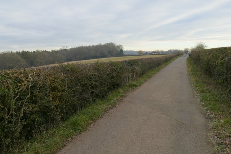
The drive to Mountwood Farm
The drive to Mountwood Farm
Passing Mountwood Farm
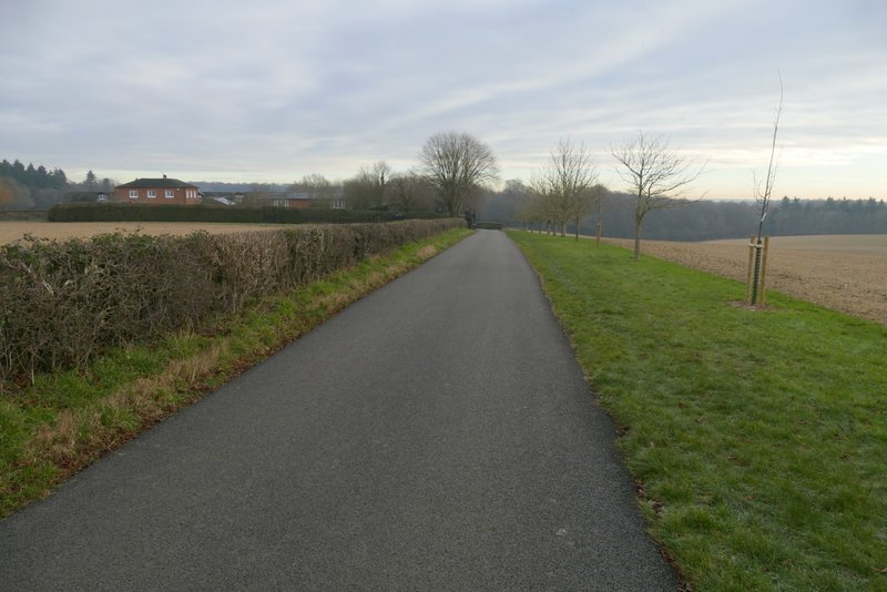
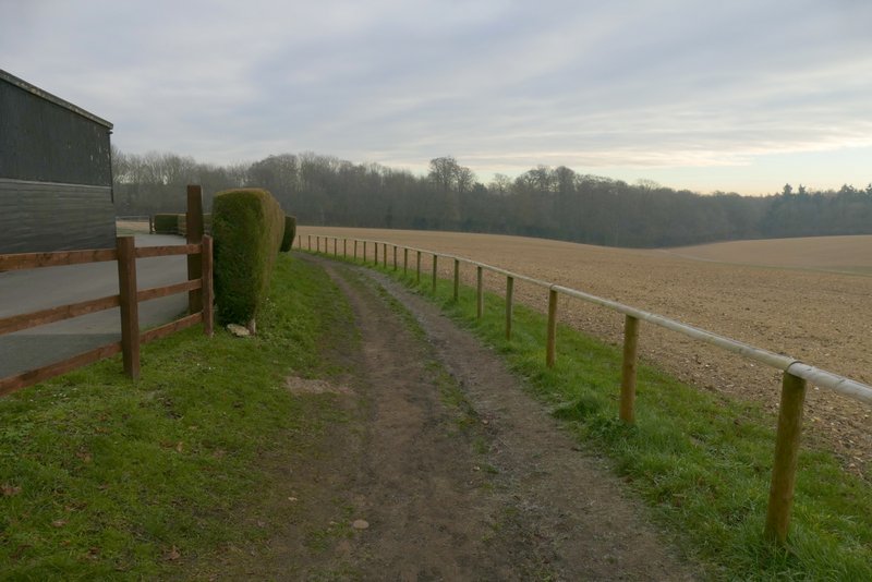
The path continuing from Mountwood Farm to Sarratt Bottom
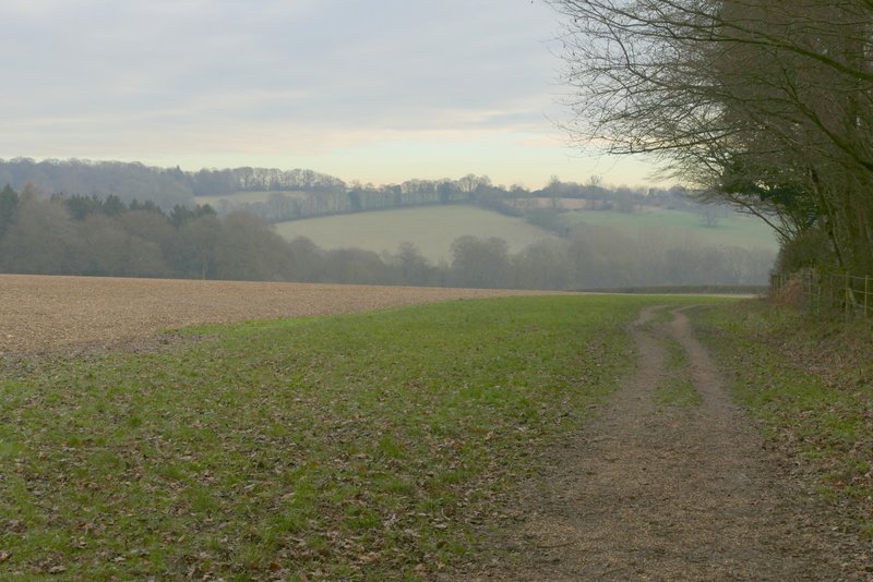
The path continuing from Mountwood Farm to Sarratt Bottom
The path continuing from Mountwood Farm to Sarratt Bottom
The path continuing from Mountwood Farm to Sarratt Bottom
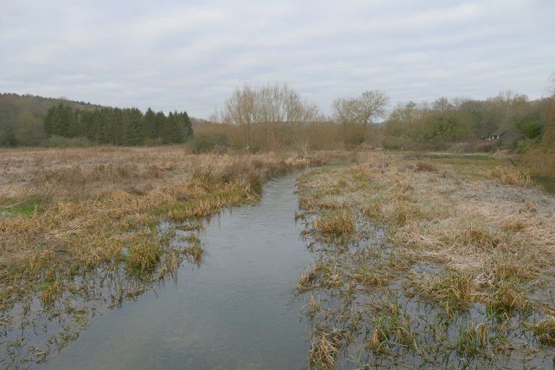
Straight away the path crossed the floor of the Chess valley at Sarratt Bottom. It went over a short footbridge over a small stream (I didn't remember this, though I've been here many times) and then crossed a longer footbridge over the river Chess. The river had clearly burst its banks and on the far side of bridge I had to wade through about 10 yards of flowing floodwater - I was lucky, I got away with just a trickle of water going down my left boot. I was annoyed at my own stupidity, because several times recently when thinking about what walk to do next, I had remembered seeing floodwater here and thought I should wait a month or two before walking here.
The path across Sarratt Bottom (the footbridge crosses a stream, the bridge across the river Chess is further on)
Looking north from the footbridge over the river Chess (which has clearly burst its banks)
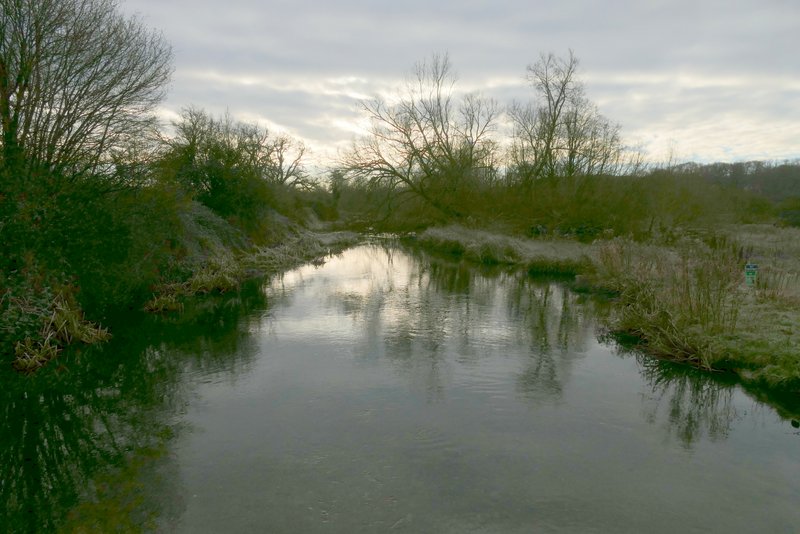
Looking south from the footbridge over the river Chess
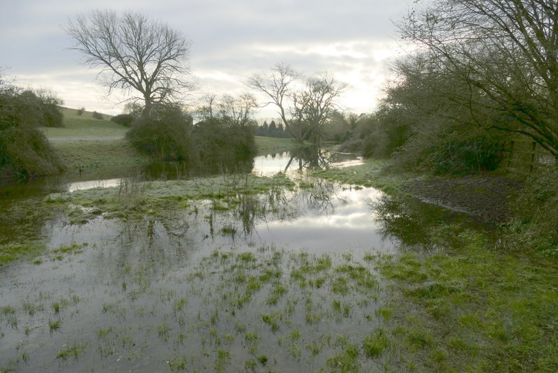
Floodwater, looking south from the far end of the footbridge
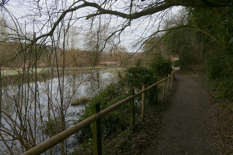
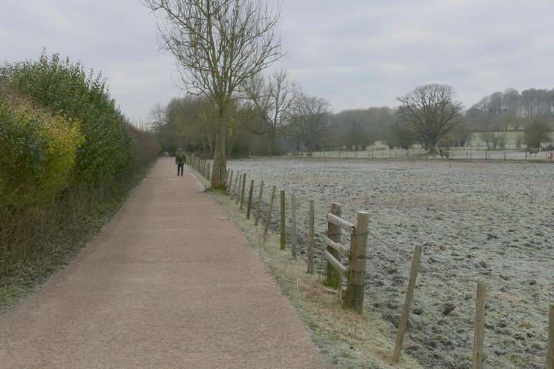
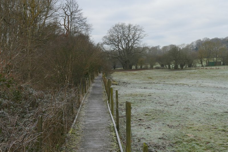
I turned left along the path through Sarratt Bottom to reach a bend in a lane where I went straight on. When the lane turned right, I turned left along a footpath that initially followed the drive to some commercial watercress beds. The field that was initially to my right was flooded here. At the end of the drive a path went left and crossed the river, but I continued straight on towards Chenies Bottom, this first part of the path being on a boardwalk between fences with paddocks or pastures on my right. Further on the path turned half-right, close to the river Chess where there was an information board about the Frogmore Meadows nature reserve. A little further on the path passed through a small bit of woodland, then crossed one of the meadows that make up the nature reserve (there was another information board here).
The path through Sarratt Bottom

The path through Sarratt Bottom
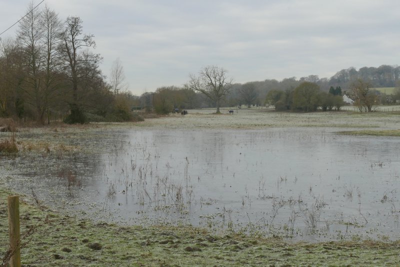
A flooded field, between Sarratt Bottom and Chenies Bottom (where I turned left from the lane)
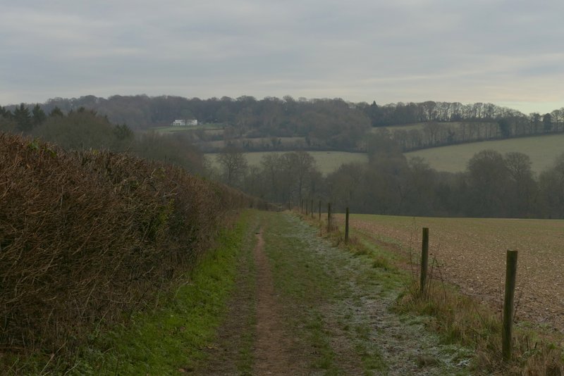
The path to Chenies Bottom
The path to Chenies Bottom
The path to Chenies Bottom
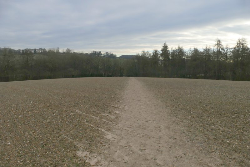
The path to Chenies Bottom, just before Frogmore Meadows nature reserve
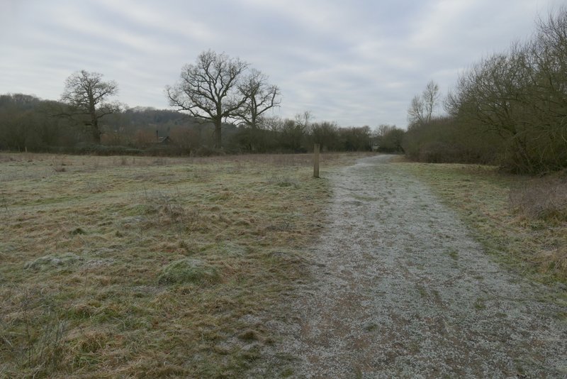
The path to Chenies Bottom, at Frogmore Meadows nature reserve