Pete's Walks - Chenies and Ley Hill (page 2 of 6)
If you are considering walking this route yourself, please see my disclaimer. You may also like to see these notes about the maps and GPX files.
Google map of the walkDownload GPX file of the walk
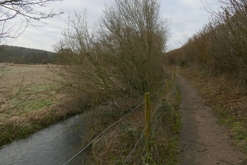
Beyond the nature reserve, the path ran between wooden fences for several hundred yards, until I eventually reached a lane at Chenies Bottom where I turned left. I needed to turn right onto a bridleway after about a hundred yards, but first I went just a few yards further down the lane to where it crossed the river Chess to take a photo (one of my favourite views in the Chilterns). The bridleway went through a yard, then continued between fences either side with the river to my left. Initially I had to be very careful here as the bridleway was more or less iced over, and where it wasn't it was criss-crossed by small ridges of frozen mud (between footprints), it would have been very easy to twist an ankle here or worse. Fortunately this was only for 10 or 20 yards, and then the bridleway (like most paths today) was surprisingly dry considering the months of wet weather we have had.
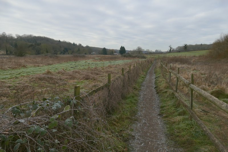
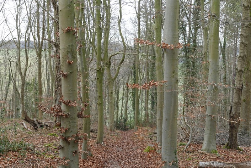
The path to Chenies Bottom, continuing from Frogmore Meadows nature reserve
The path to Chenies Bottom, continuing from Frogmore Meadows nature reserve
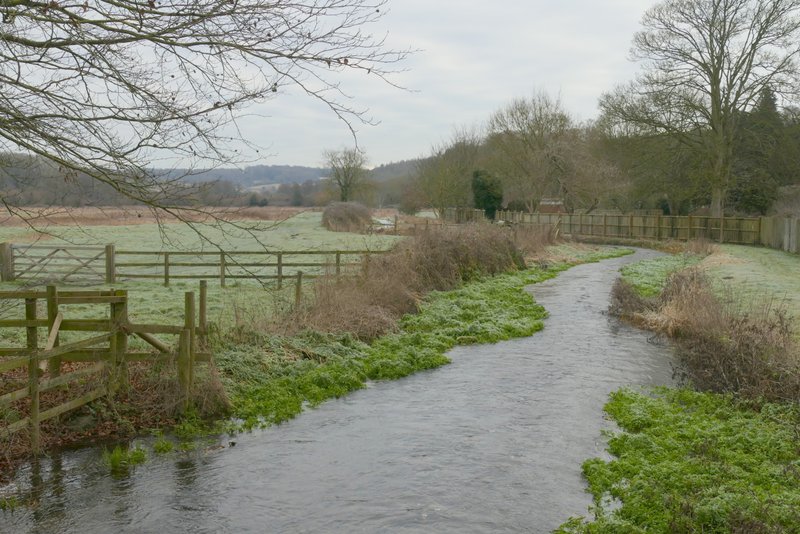
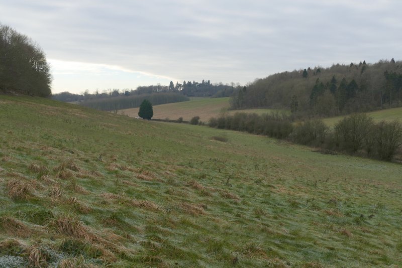
Looking back east along the river Chess from the road bridge at Chenies Bottom
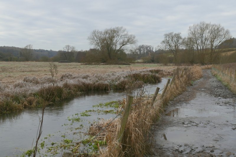
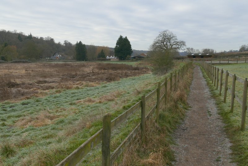
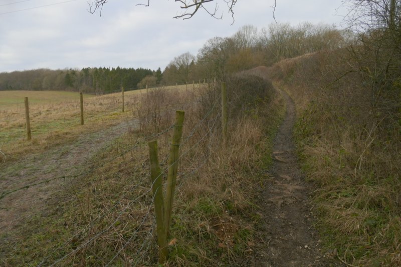
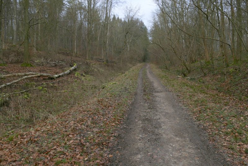
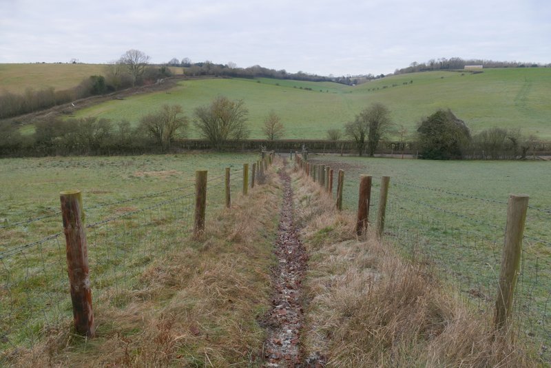
The bridleway along the Chess valley, as it leaves Chenies Bottom
The bridleway along the Chess valley
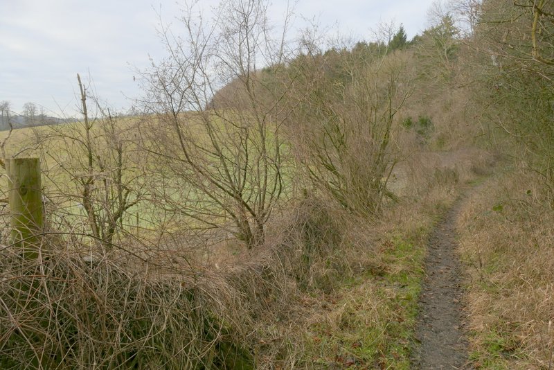
Shortly after I passed a point where the river had turned away from the bridleway I reached a gate and a path junction, where I turned right onto a bridleway heading to Baldwin's Wood (I could have just as easily used the parallel footpath over the fence or hedge to the left of the bridleway). The bridleway went gently uphill, and then followed the edge of Baldwin's Wood on my right for a while before turning into it (the parallel footpath comes to this same point). I followed the bridleway through the wood, rising gently uphill - I usually refer to this all as Baldwin's Wood, but actually the map shows that wood was to my right and Flaunden Grove was to my left, presumably the bridleway follows the boundary between them. After crossing a track (not a public right of way) the bridleway turned slightly right.
The bridleway after I turned right, heading to Baldwin's Wood (I could have used the parallel footpath to its left)
The bridleway to Baldwin's Wood
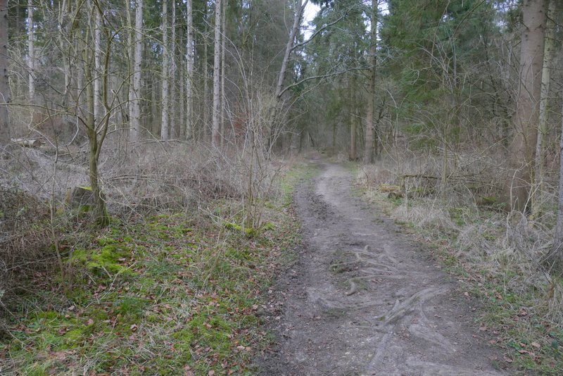
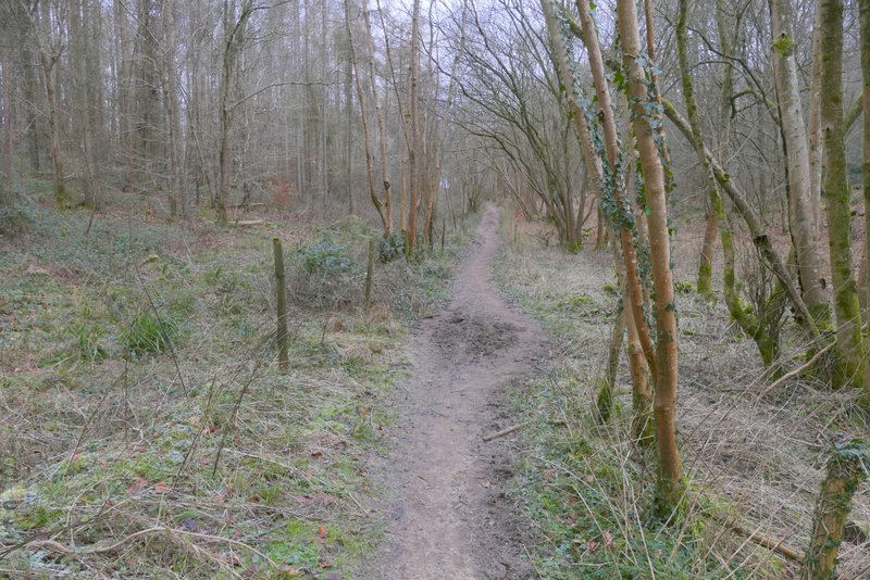
The bridleway continuing through Baldwin's Wood
The bridleway continuing through Baldwin's Wood
The bridleway continuing through Baldwin's Wood (after the 'crossroads')
On leaving the wood, I immediately went straight on over a crossing bridleway, now on a public byway. After a few hundred yards this ended at a T-junction with a bridleway, where I turned left. After passing a field on my left it entered Long Wood and almost immediately reached a junction where I took the bridleway dropping steeply through the wood (I'd forgotten quite how steep this was). On leaving the wood, the bridleway continued steeply downhill between fences to reach the road through a valley called Flaunden Bottom, where I turned right.
The byway continuing from Baldwin's Wood
The bridleway after I turned left at a T-junction
The bridleway descending through Long Wood
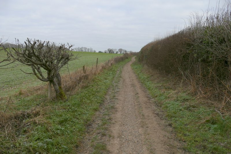
View left along Flaunden Bottom, after leaving Long Wood
The bridleway continuing to descend to the road through Flaunden Bottom (I've made this look flat, it's actually quite a steep descent)