Pete's Walks - Chenies and Ley Hill (page 4 of 6)
If you are considering walking this route yourself, please see my disclaimer. You may also like to see these notes about the maps and GPX files.
Google map of the walkDownload GPX file of the walk
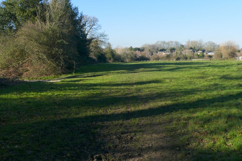
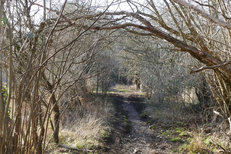
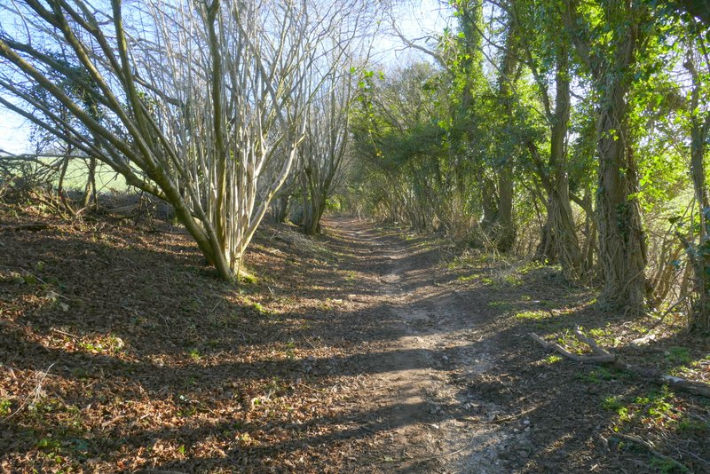
A short way into the wood I came to a junction where I turned right. At the next junction the options were left, half-left or right and I went half-left. There are lots of hollows or pits in this wood (old clay pits, I would guess) and today many smaller ones were full of water that had frozen over. The path soon turned right to avoid a very large pit, and after a short way I took a path between holly bushes on the right (I don't think there were any signs or waymarks) - I soon passed a gate on the edge of the wood where a path went left, continuing on to another gate on the edge of the wood. Through this I followed a hedgerow on my left through a meadow, to reach a bridleway (along the edge of Botley) called Broomstick Lane, where I turned left.
The same path, just inside Cowcroft Wood
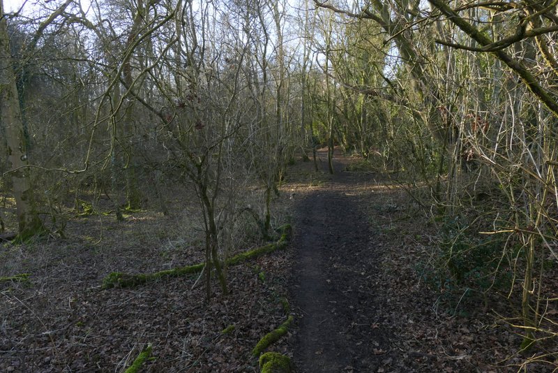
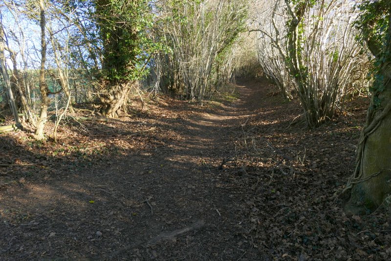
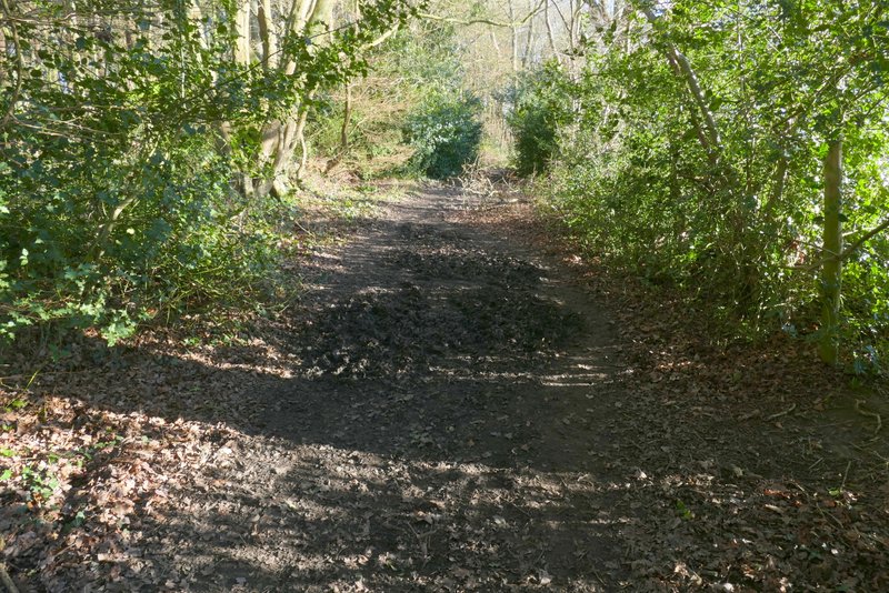
The path after I turned right in Cowcroft Wood
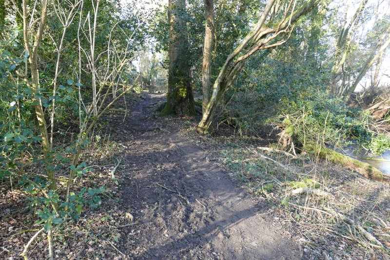
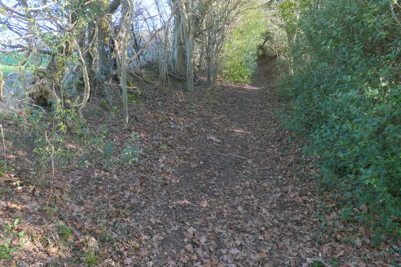
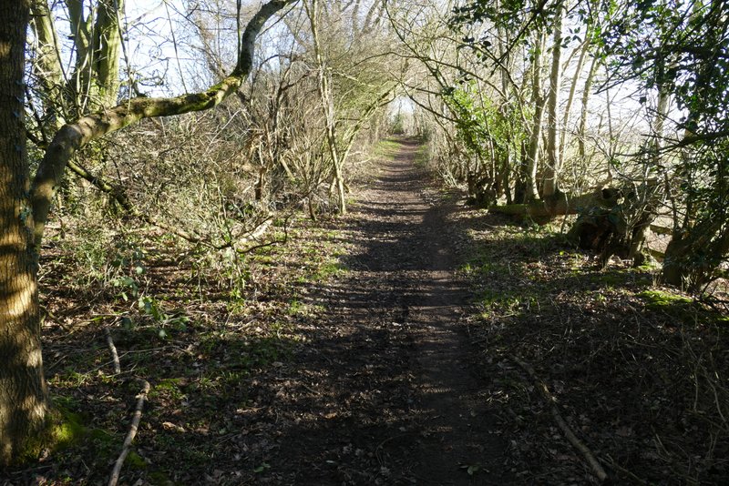
The path from Cowcroft Wood
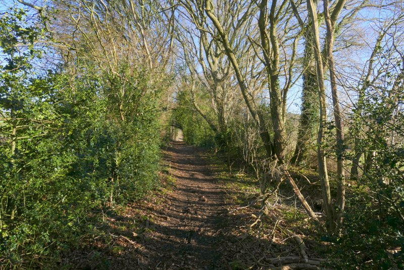
Broomstick Lane
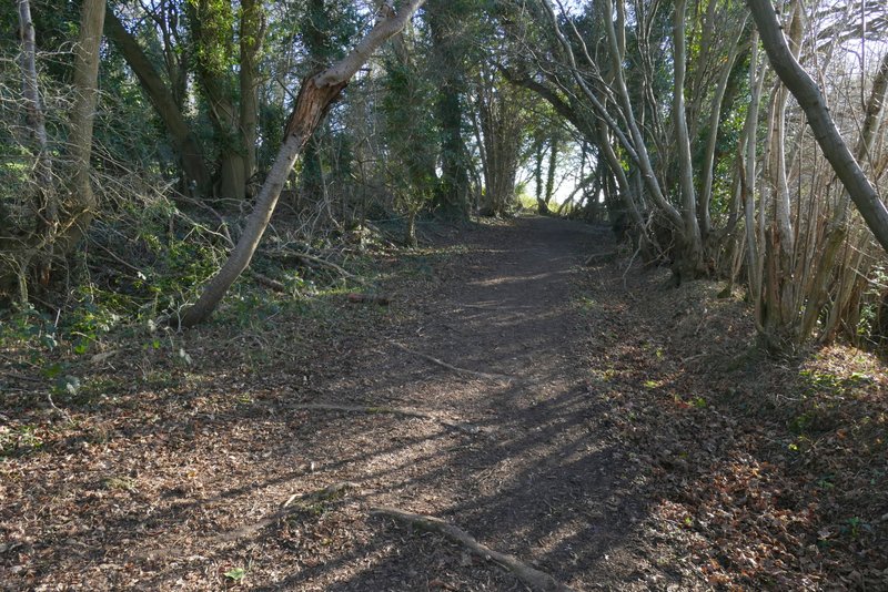
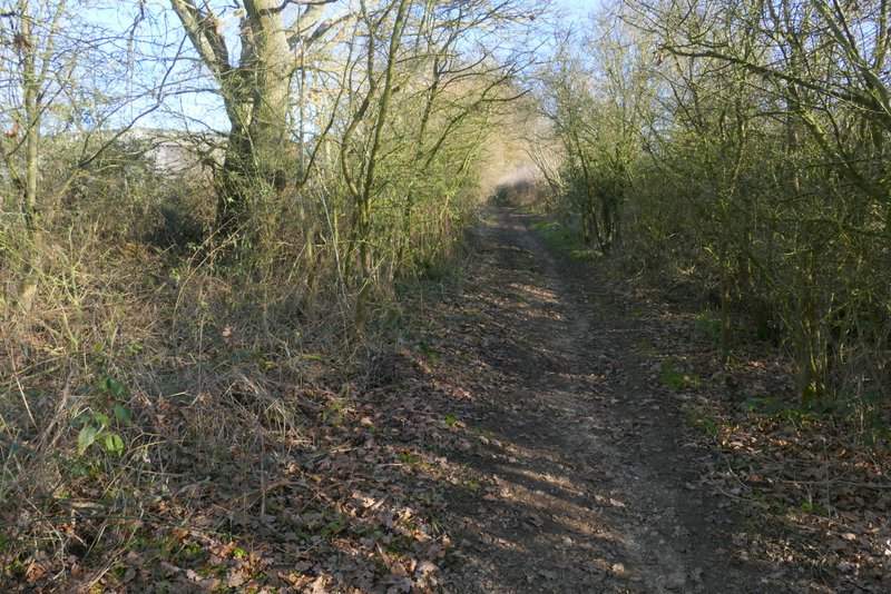
On reaching a lane, I crossed over and continued down Bottom Lane. This was surfaced for a short distance as it passed a few homes, but then became a bridleway with hedges either side. The surface was very stony and uneven, and the often overhanging hedges hid any possible views, but the bridleway was almost imperceptibly descending as it followed a valley bottom. Fairly soon I came to fork where I went left (this was also where a footpath crossed) and then further on I continued straight on where a bridleway crossed. Eventually, having followed Bottom Lane for almost a mile I came to what appeared to be a T-junction where I turned left onto a similar hedge-lined bridleway called Green Lane (a fingerpost showed that Bottom Lane turns right here).
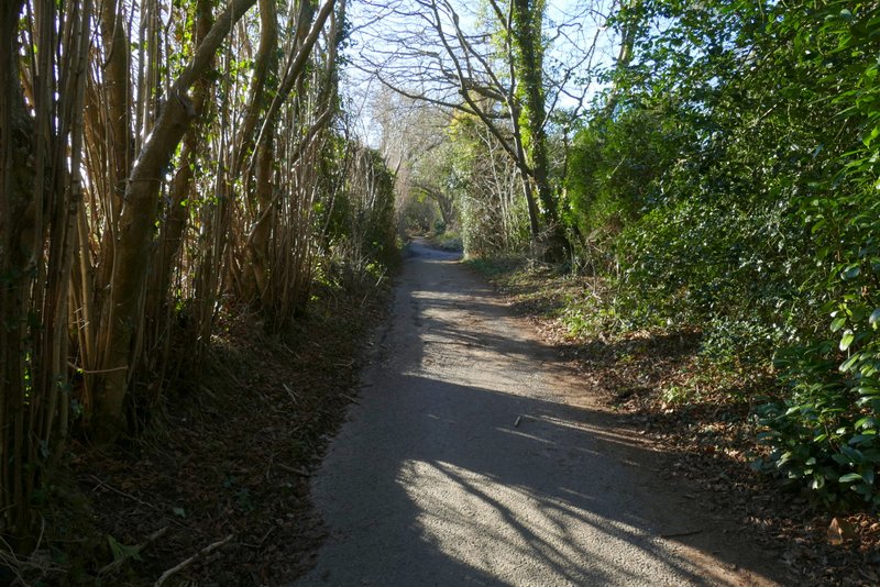
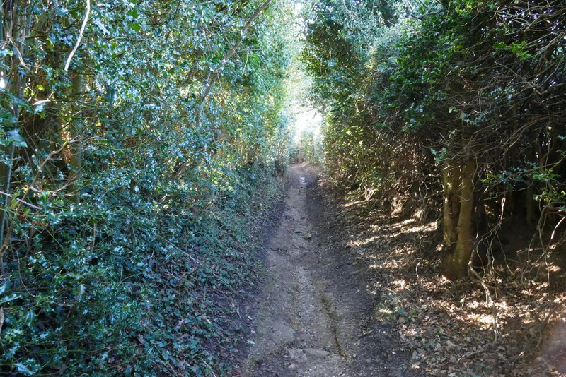
The start of Bottom Lane
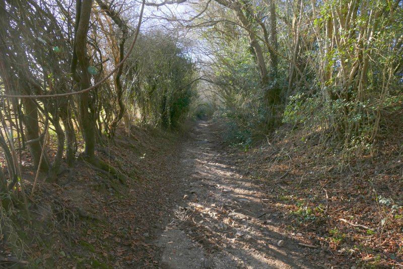
Bottom Lane
Bottom Lane
Bottom Lane
Bottom Lane
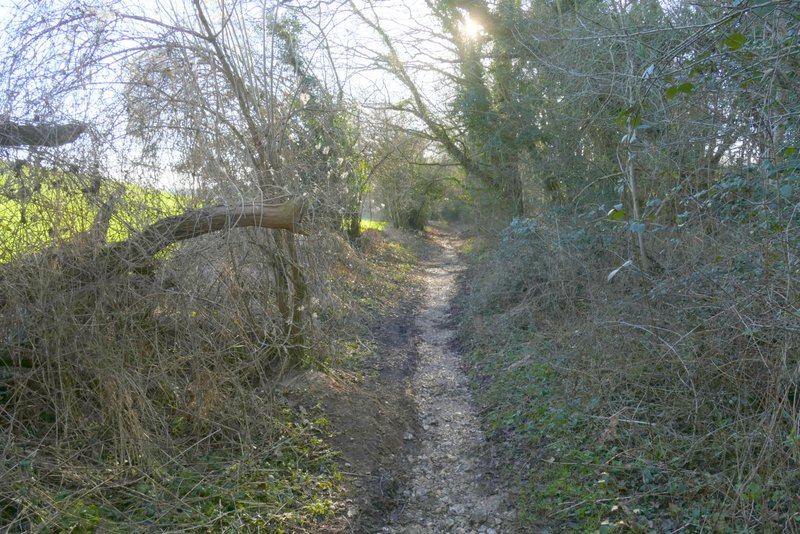
Green Lane immediately started up a hillside. This was the biggest uphill of the route, it was fairly long by Chiltern standards but not too steep, and shortly before the top of the slope there was a short flat bit where it turned right and then left. Shortly after it levelled out another bridleway went right and a bit further on a footpath went left (I use both of them on another of my walks). After another quarter of a mile or so Green Lane brought me to an actual lane near White End Park farm.
Green Lane, rising uphill, after I turned left at a bridleway T-junction
Green Lane, rising uphill
Green Lane, rising uphill
Green Lane, continuing towards White End
Green Lane, continuing towards White End
Green Lane, continuing towards White End
Green Lane, continuing towards White End