Pete's Walks - Shortened version of Ashridge Estate Boundary Trail (page 1 of 5)
If you are considering walking this route yourself, please see my disclaimer. You may also like to see these notes about the maps and GPX files.
I did this circular walk of about 12.9 miles on Wednesday, 31st January 2024. It was a shortened version of the 16-mile Ashridge Estate Boundary Trail which I've walked many times - I first did this same shortened version in June 2018, and have repeated it once or twice since.
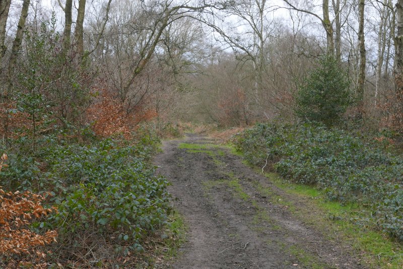
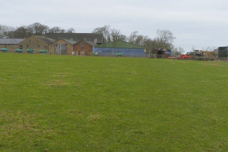
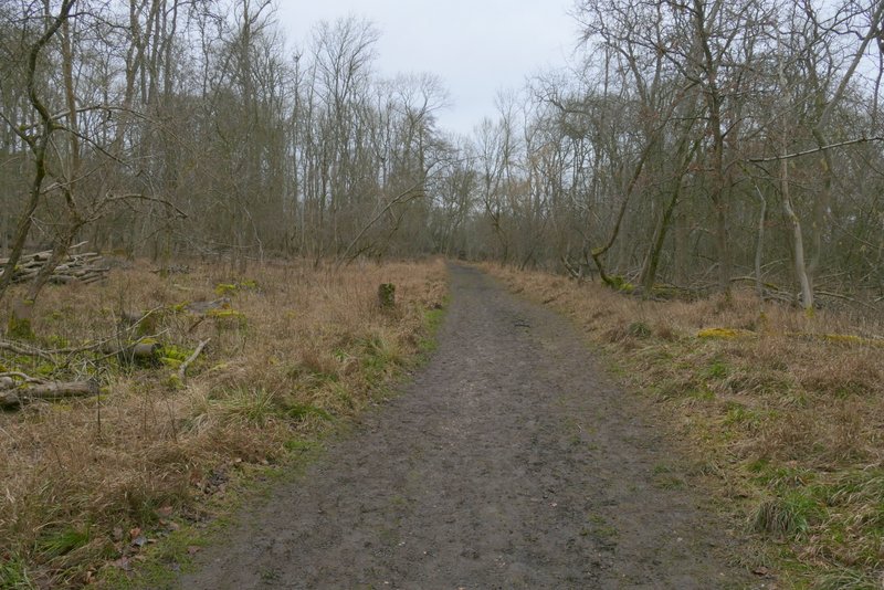
I parked at Ashridge, in the small car park a few hundred yards south of Ringshall (grid reference SP 983137), and started walking at roughly 9.55am. I followed the broad path from the car park through the woods of Ashridge, going straight on where a broad path came in on the left, then turning right at the next path crossroads. About a hundred yards down this I turned left, then after another one or two hundred yards I turned right, with a larger car park now close by on my left. As I followed this path I saw three or four large trees that had been brought down by the recent storms (Isha and Jocelyn). This path soon brought me to a road on the edge of Ringshall (to my right).
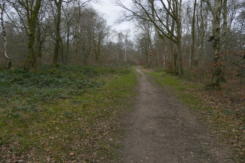
The path going northwest from the car park near Ringshall

The path after I turned right at a crossroads of broad paths (I only followed this path for about 100 yards before turning left)
The path after I turned left
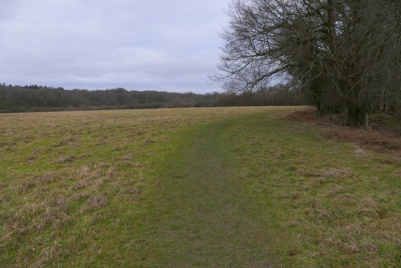
The path after I turned right, close to a car park on my left
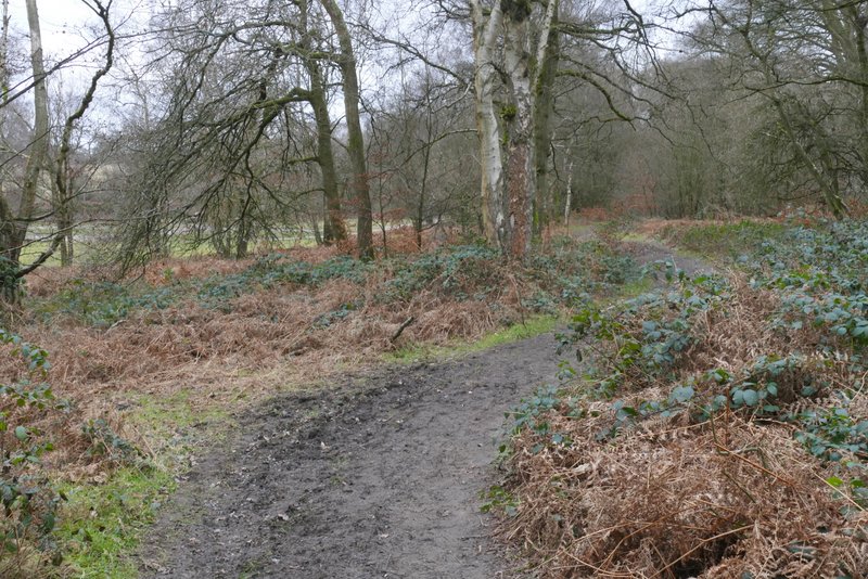
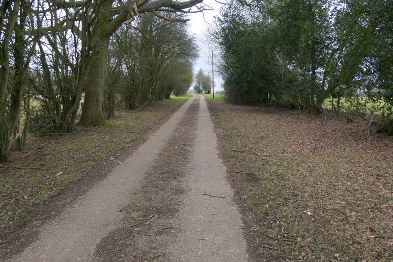
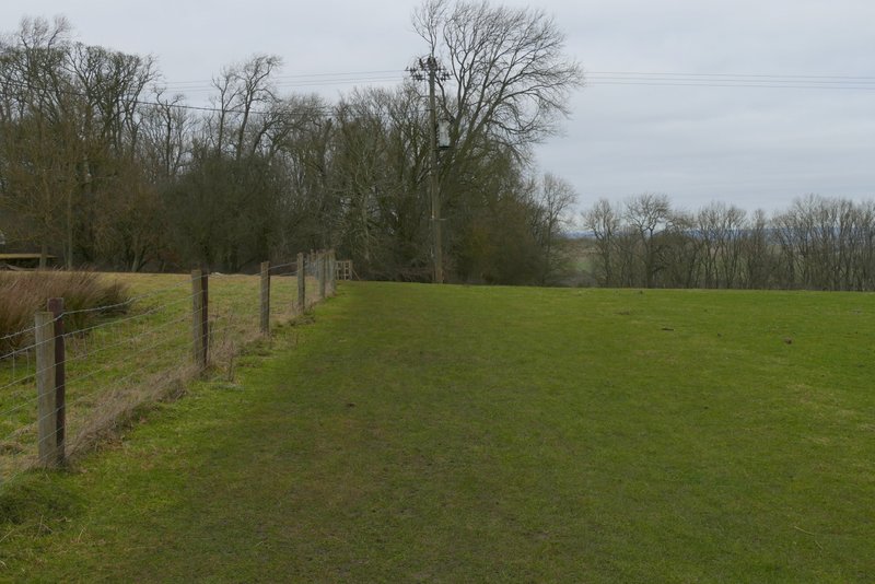
Across the road a path continued down a drive, passing a couple of cottages, and then turning left behind a small reservoir. The path then ran along the dge of an empty pasture with Ringshall Coppice on my right (there was another tree down in this field). The path continued beside the wood through two smaller fields, with a hedge and fence to my left in the first and then just a wire fence to my left in the second. The path then went through a gate into a large empty pasture, where the path moved very slightly left, away from the wood, as it crossed the pasture to a gate, then continued across three sheep pastures to reach Ward's Hurst Farm.
The path along the drive on the edge of Ringshall, after I crossed the road
The path a little way after it turned left behind a small reservoir
Further along the path to Ward's Hurst Farm
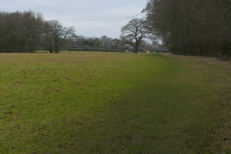
The path to Ward's Hurst Farm
The path to Ward's Hurst Farm
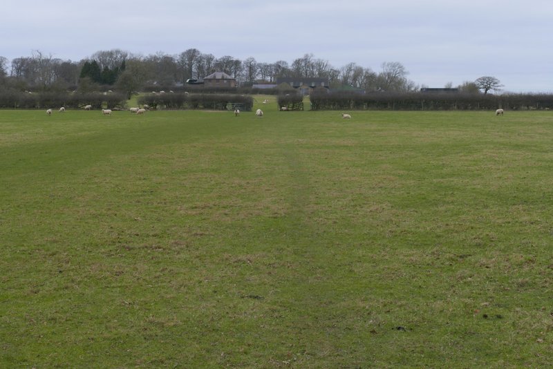
Approaching Ward's Hurst Farm
The clearly waymarked path continued straight on through the yard of Ward's Hurst Farm, then went through a gate and followed the left edge of another sheep pasture a short distance to reach a wood (the only name on the OS Map is The Coombe). The path, part of the Icknield Way, then dropped down a steep flight of wooden steps. At the foot of the steps, the path continued on, soon entering a coniferous section of the wood, with the trees planted in straight lines. The path soon switched from the right of one line of trees to the left, then twice went half-left through two or three rows of trees before turning right along another gap between two rows of trees (there were no arrows or waymarks here, but the path is fairly obvious on the ground). On the other side of the conifers the path continued through the wood for about a quarter of a mile.

View towards the Dunstable and Whipsnade Downs from Ward's Hurst Farm
The path continuing from Ward's Hurst Farm
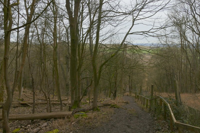
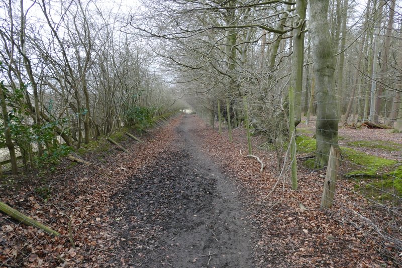
The path continuing from Ward's Hurst Farm, descending the flight of 'steps'

The path continuing from Ward's Hurst Farm, descending the flight of 'steps'
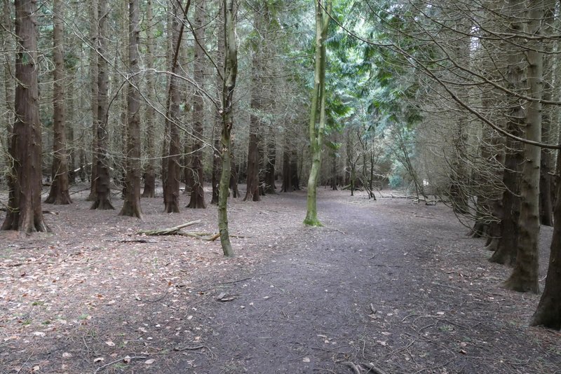
The path continuing from Ward's Hurst Farm, in the coniferous section of The Combe
The path continuing through The Coombe