Pete's Walks - Bradenham, Speen, Hughenden (page 3 of 5)
If you are considering walking this route yourself, please see my disclaimer. You may also like to see these notes about the maps and GPX files.
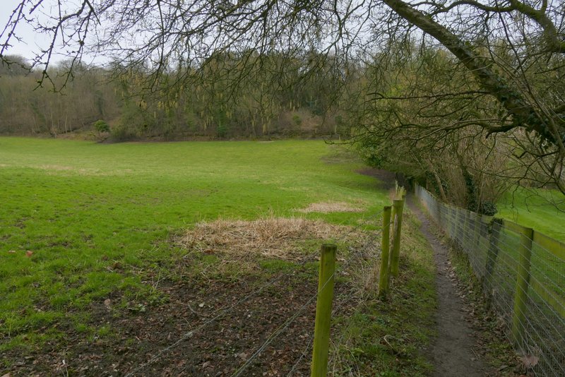
A clear path went half-left from the wood, soon passing just left of two prominent conifers and dropping quite steeply. There was a good view ahead to Hughenden and the Hughenden Valley. After going through a kissing-gate in a hedgerow, I continued straight ahead (another path went half-left) through a very large field to reach a road on the northern edge of Hughenden.
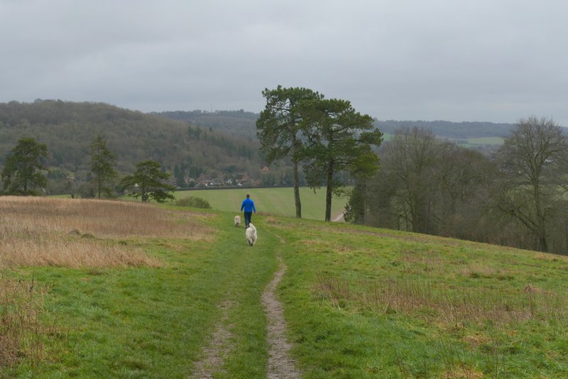
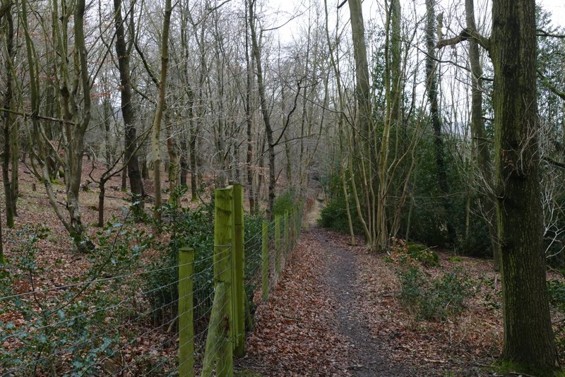
The path continuing from Piggott's Wood

The path continuing from Piggott's Wood, heading downhill to Hughenden
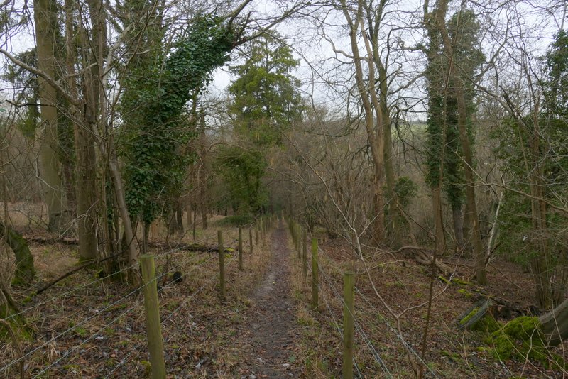
The path continuing to Hughenden
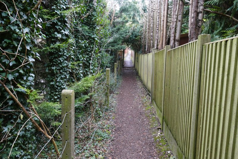
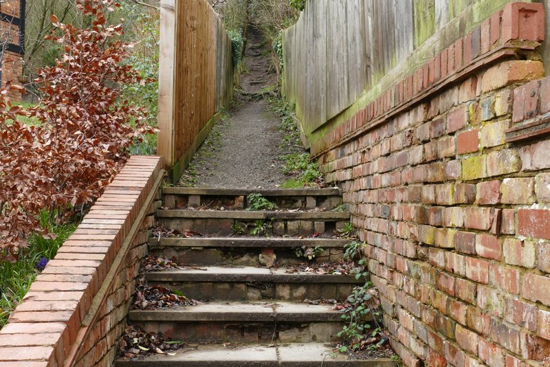
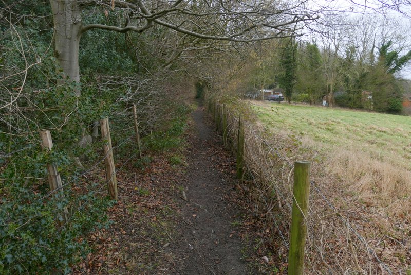
Across the road, a footpath sign on the post supporting a pub sign ('The Harrow') indicated where a path went through a gate and across the garden of the pub (with the pub immediately to the left). It went through a gate on the other side, and then soon crossed a residential street. There then began a long and fairly steep path on 'steps' through a wood (Longrove Plantations). I was pleased to find it wasn't quite as steep as I remembered, nor quite as long. At the top there was a nice view on my left over a field towards a meeting of valleys (I think). On reaching a path crossroads, I turned right and followed a path that descended through another part of Longrove Plantations to reach Boss Lane - this descent was steeper (in places) than I remembered.
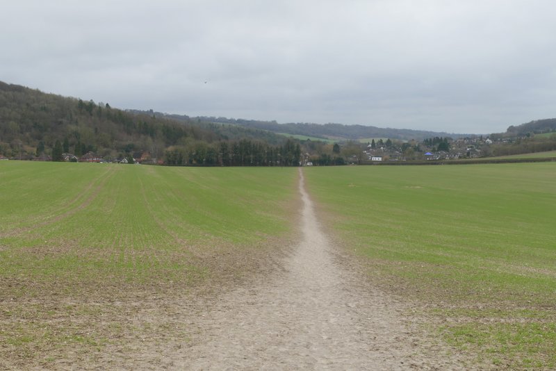
The path at Hughenden, after going through the pub garden)
The path as it leaves Hughenden
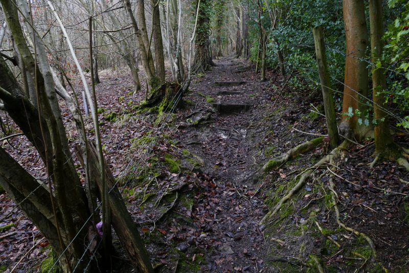
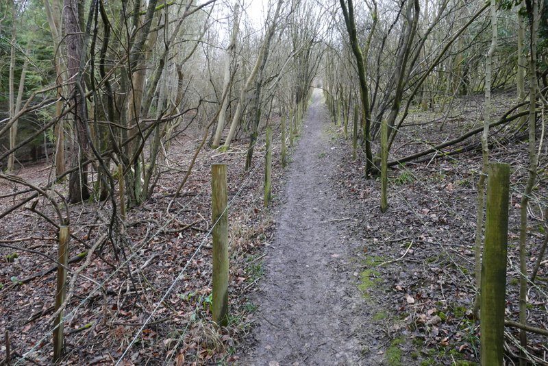
The path rising uphill through Longrove Plantations
The path rising uphill through Longrove Plantations
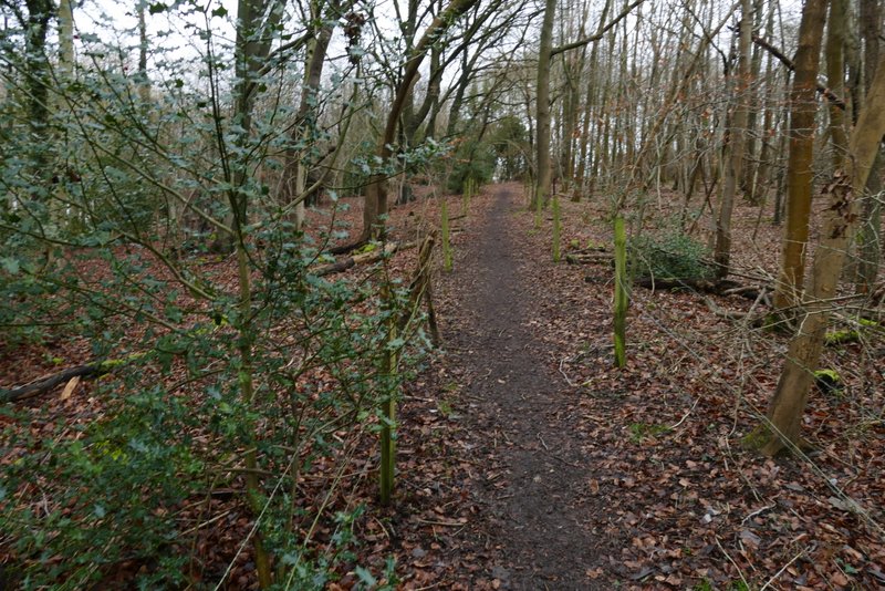
The path after it leaves Longrove Plantations
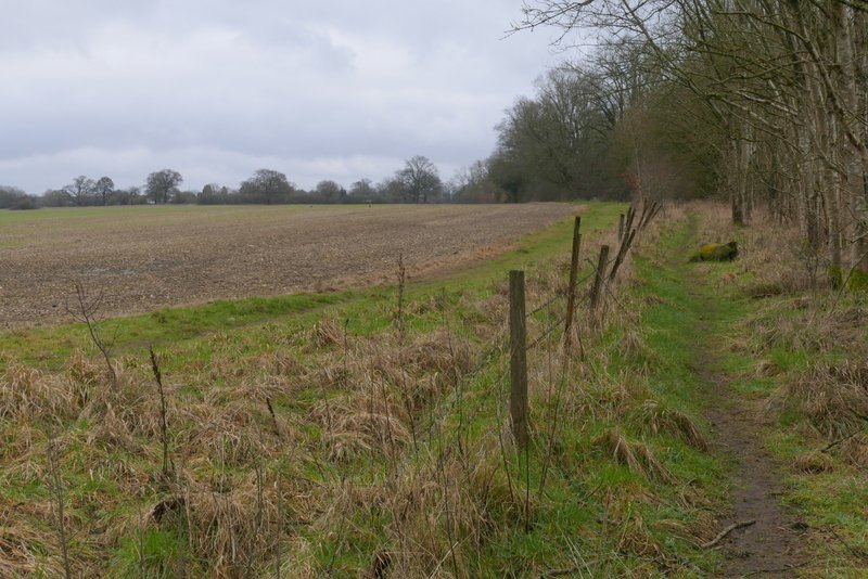
The path after I turned right, heading towards Boss Lane
The path heading towards Boss Lane
The path heading towards Boss Lane
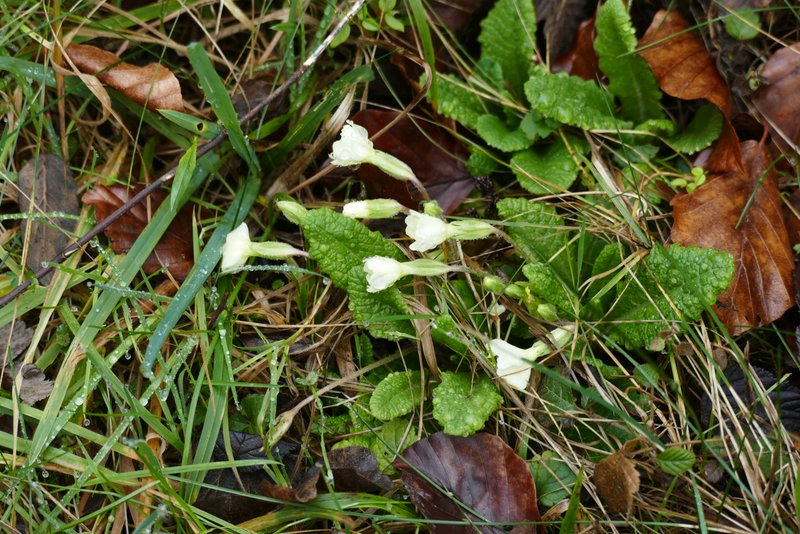
I went a few yards left along Boss Lane, then took a footpath on the other side. This ran between fences, separating a field from a garden on my right, then climbed through a small wood and soon turned half-left. This uphill was a bit steeper than I remembered, and coming so soon after the last uphill I struggled a bit. But when it flattened out I was surprised how close I was to Cryers Hill, I thought I had further to go to get there. I was also pleasantly surprised to see some Primroses, though I suspect they were the garden variety which flower earlier than the wild ones. I soon came to a drive starting at 'Moggie Motel', which I followed to reach a main road as it entered Cryers Hill.
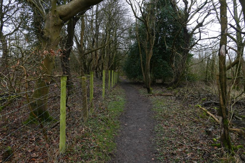
The start of the path from Boss Lane to Cryers Hill
The path from Boss Lane to Cryers Hill
The path from Boss Lane to Cryers Hill
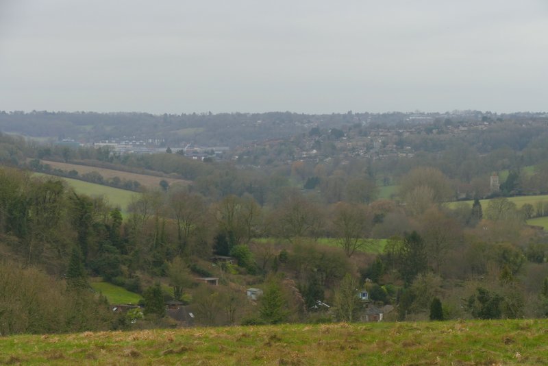
View from near Cryers Hill
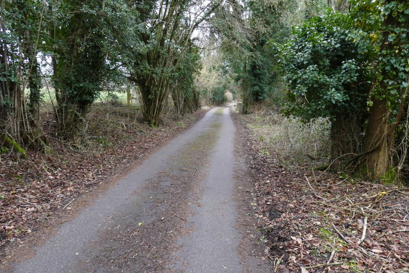
The path continuing along a drive, to reach a road on the edge of Cryers Hill