Pete's Walks - Bradenham, Speen, Hughenden (page 4 of 5)
If you are considering walking this route yourself, please see my disclaimer. You may also like to see these notes about the maps and GPX files.
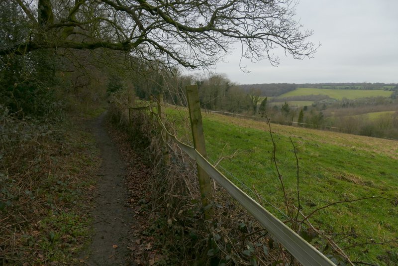
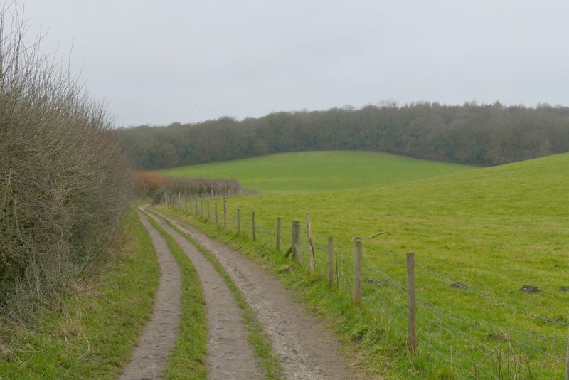
I then took a footpath starting on the other side of the road. This ran between hedges either side, soon with a view over a field on my right. Further on, there were the fences of some very long gardens on my right - I spotted a Fox along here, but didn't manage to get a photo. Beyond the gardens the path continued between hedges either side - at one point here a large ivy-clad tree had come down, presumably in the recent storms, and I had to somehow clamber over it. About three-quarters of a mile after crossing the road, the path entered a field, where I turned right and then left in the field corner. On reaching the next field corner the footpath ended, and I turned right on a bridleway (named Church Lane on the OS map). The bridleway took me to a main road, almost opposite the entrance to the grounds of Hughenden Manor.
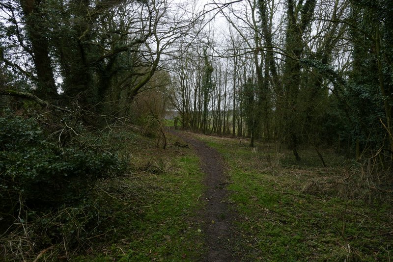
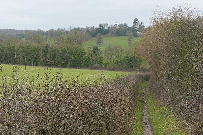
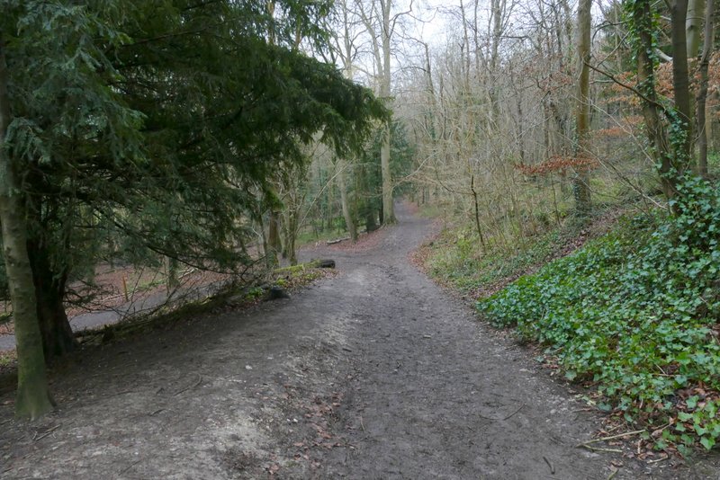
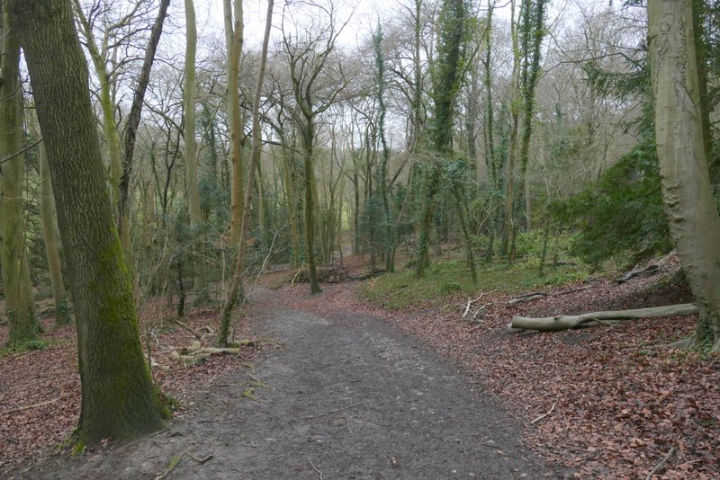
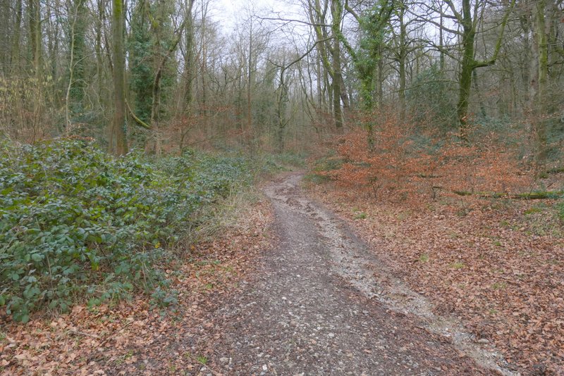
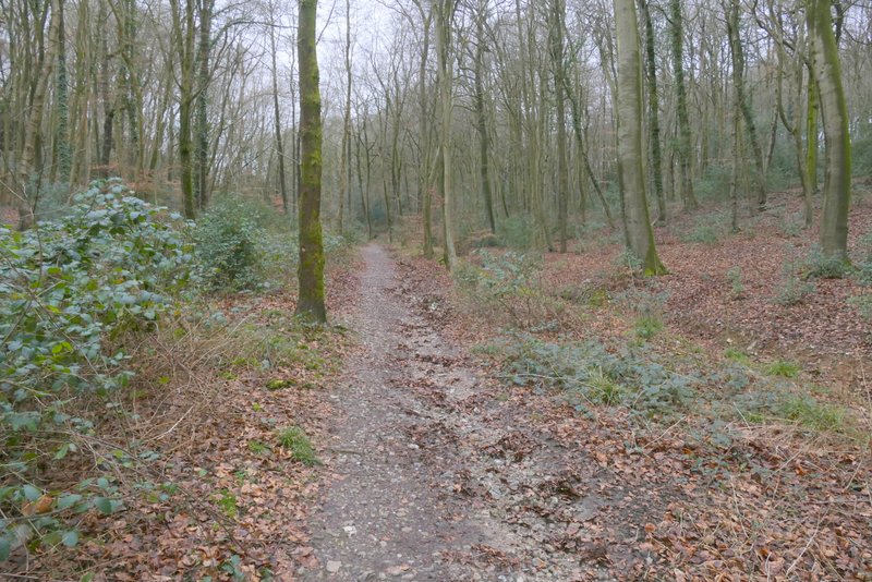
The path from Cryers Hill to near Hughenden Manor
The path from Cryers Hill to near Hughenden Manor
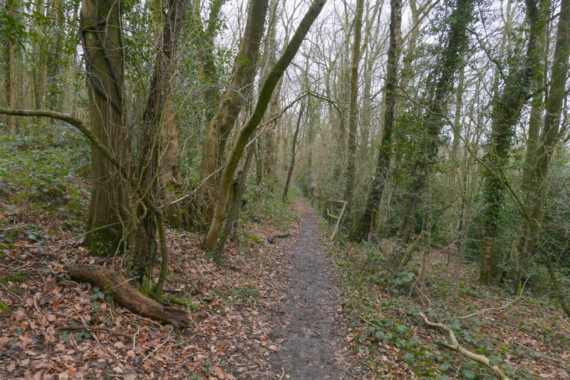
The path from Cryers Hill to near Hughenden Manor
The path from Cryers Hill to near Hughenden Manor
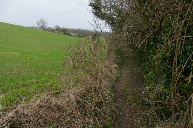
The path from Cryers Hill to near Hughenden Manor
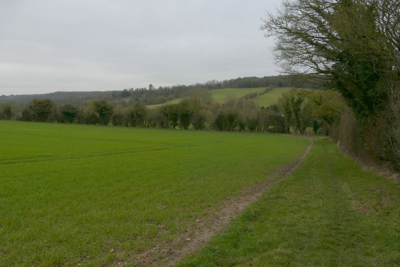
The path from Cryers Hill to near Hughenden Manor
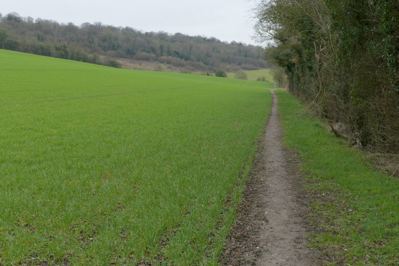
The path from Cryers Hill to near Hughenden Manor
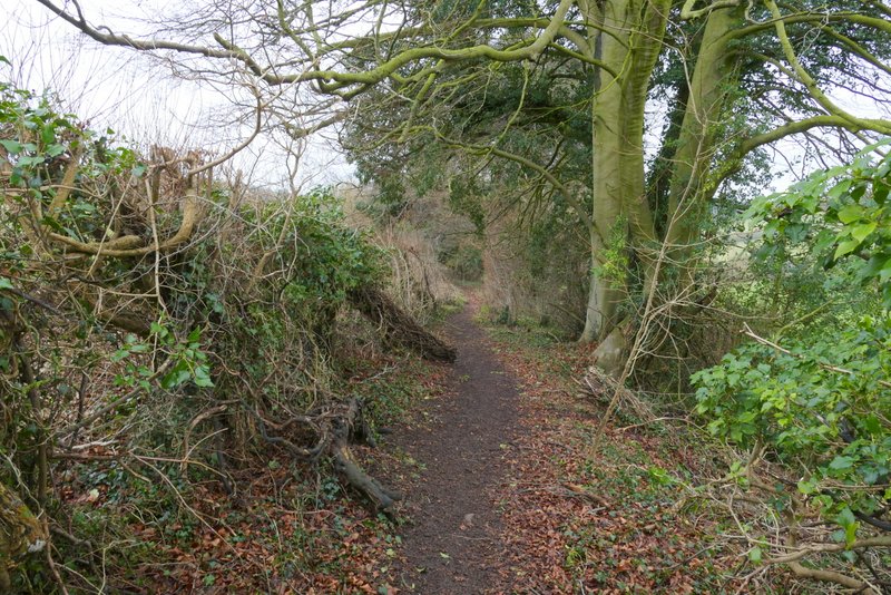
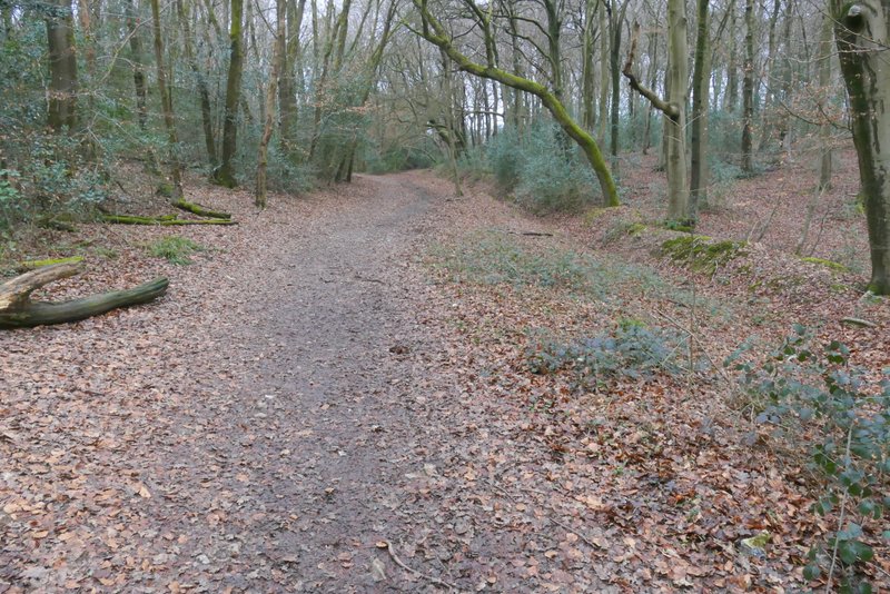
Church Lane, after I turned right
I went down the drive to Hughenden Manor (now run by the National Trust, it was once the home of the Benjamin Disraeli, a Prime Minister during Queen Victoria's reign), which soon crossed the Hughenden stream (a tributary of the River Wye that runs through High Wycombe). When I came to a fork in the drive, I went left to the church and continued along a path through the churchyard. This path continued straight on through more of the park surrounding the big house, but soon came back to the other part of the drive. I followed it straight on, between walls and outbuildings, soon passing the entrance to the Manor itself on my left.
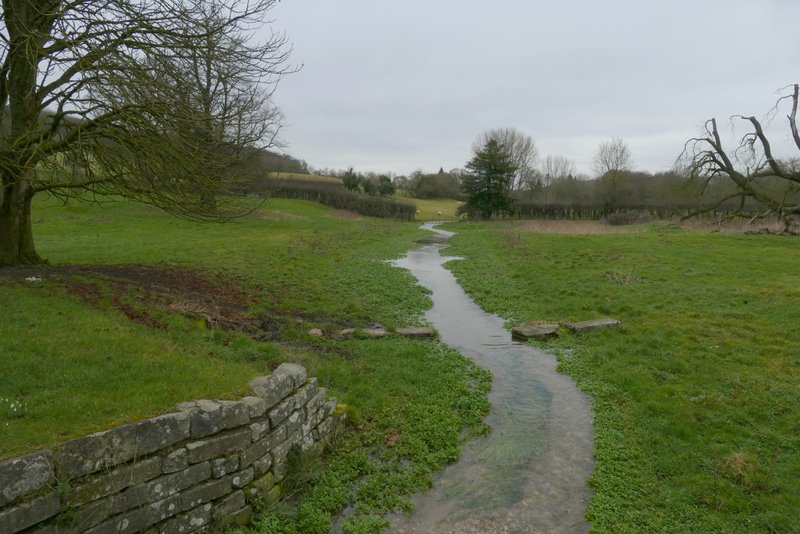
Hughenden Stream in the grounds of Hughenden Manor
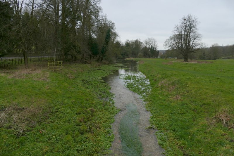
Hughenden Stream in the grounds of Hughenden Manor
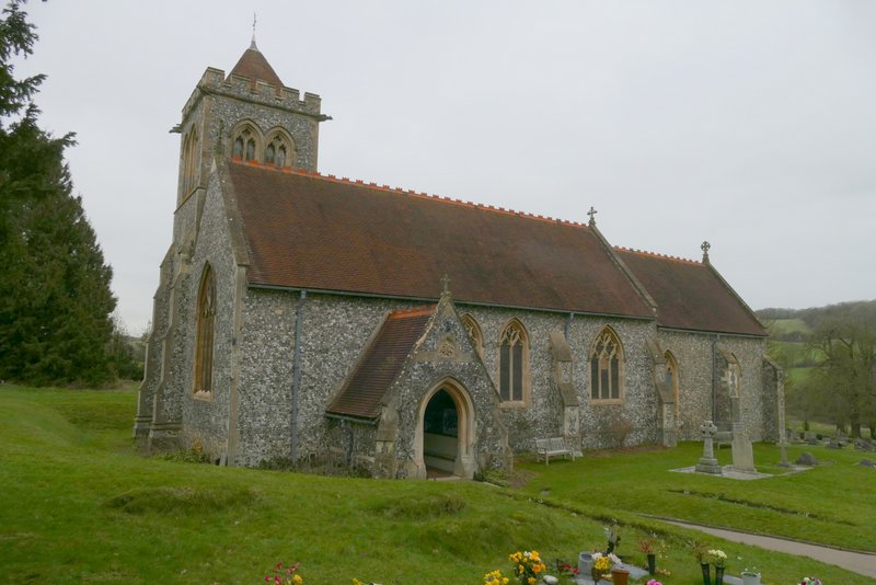
Hughenden church
Path through the grounds of Hughenden Manor
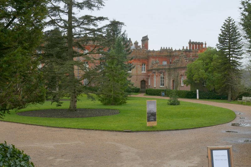
Hughenden Manor
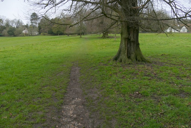
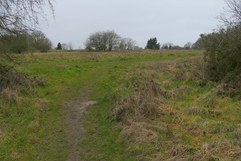
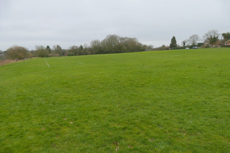
When the drive ended at a sort of T-junction, I went straight on (actually almost right) onto a bridleway going to Downley (it seemed to be marked by horse-rider signs on wooden finger posts). It descended gently through a wood, going straight on (actually half-left) at a path crossroads, then continued between a hedge and a fence on my right to reach a larger wood, Common Wood. The bridleway went straight on through the wood, going gently uphill, until after a quarter of a mile or so I reached a five-way junction. Here I took a bridleway going right (a footpath went sharper right). When this bridleway left the wood it continued through a small area of bushes and rough grassland to reach the cricket pitch at Downley, where I turned right and sat on one of the seats in a corner to eat my lunch (it was now about 1:55pm).
The bridleway from Hughenden Manor to Downley
The bridleway from Hughenden Manor to Downley
The bridleway from Hughenden Manor to Downley
The bridleway from Hughenden Manor to Downley
The bridleway from Hughenden Manor to Downley
The bridleway after I turned right
The bridleway now at Downley (I followed it to the right here)
The cricket pitch at Downley