Pete's Walks - Marsworth and Wigginton (page 1 of 4)
If you are considering walking this route yourself, please see my disclaimer. You may also like to see these notes about the maps and GPX files.
I did this circular walk of about 9.8 miles on Monday, 12th February 2024. It was a new route for me, but was basically a shortened version of my Marsworth, Tring Station, Halton route. It included three or four paths I'd not walked before.
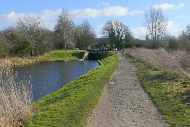
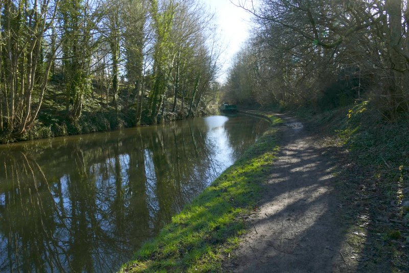
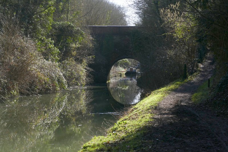
I parked in a side street in Marsworth (Vicarage Road) rather than pay for the car park and started walking about 9.40am. I followed the main road down to the canal, and after crossing a footbridge turned left into the car park. Rather than take the path at the far end of the car park, I chose to go up a flight of steps and turn left beside Startop's End reservoir. The two paths soon came together again anyway, and I carried on along what was now the towpath of the Grand Union Canal, with Marsworth reservoir on my right. I passed two or three locks and soon reached Bulbourne, where the towpath went over a footbridge over the start of the Wendover Arm of the canal and then under a road bridge (I cross this bridge on many of my trips into the Chilterns).
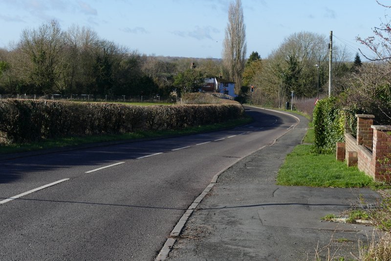
The road through Marsworth
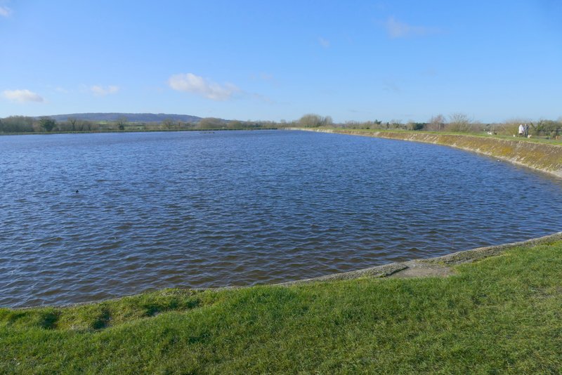
Marsworth reservoir
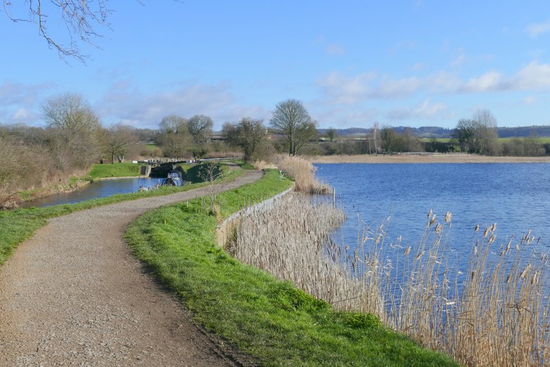
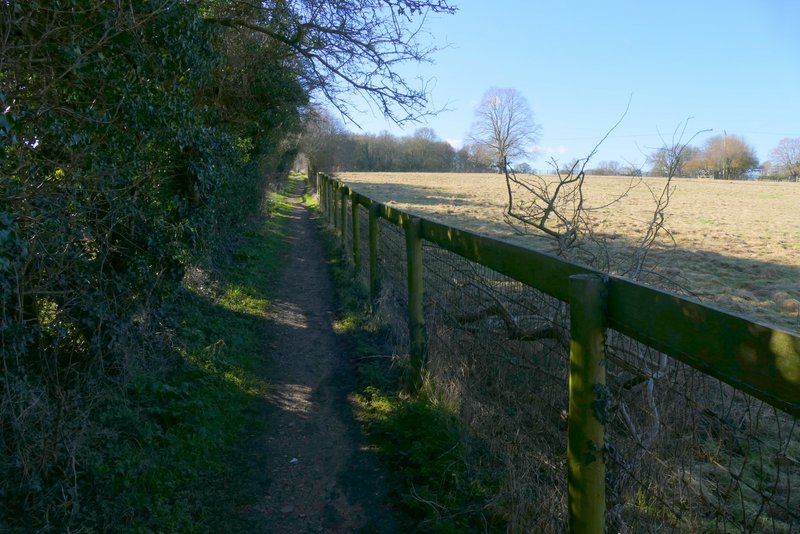
The Grand Union Canal, going east from Marsworth, and Startop's End reservoir
The Grand Union Canal, going east from Marsworth
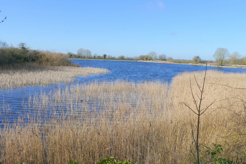
Marsworth reservoir
The Grand Union Canal, going east from Marsworth
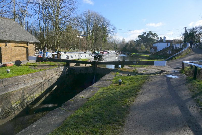
The Grand Union Canal, at Bulbourne (the towpath bridge on the right is going over the start of the Wendover Arm of the canal))
The Grand Union Canal at Bulbourne
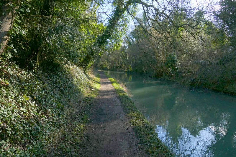
There were now tall trees either side of the canal. Unfortunately I was walking almost directly into the sun, which made photography difficult and I had to keep my head down looking at the path a few feet ahead of me so had no chance of seeing any wildlife. When I reached the next bridge, the towpath went over it and continued along the left bank of the canal. About three-quarters of a mile later I reached the bridge at Tring Station where I went up the steps to the road through the village.
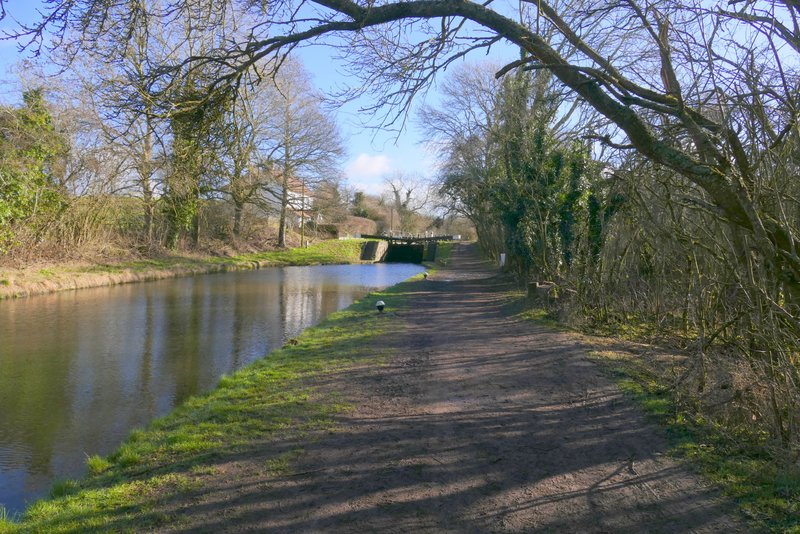
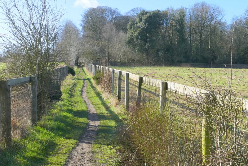
The Grand Union Canal, going southeast from Bulbourne
The Grand Union Canal, going southeast from Bulbourne (approaching the bridge where the towpath switches to the other side)
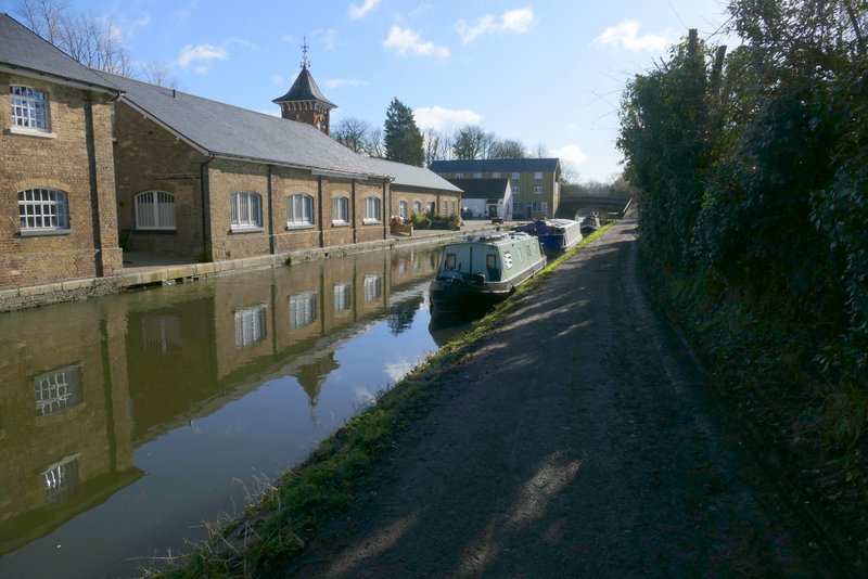
The Grand Union Canal, going southeast from Bulbourne (shortly before reaching Tring Station)
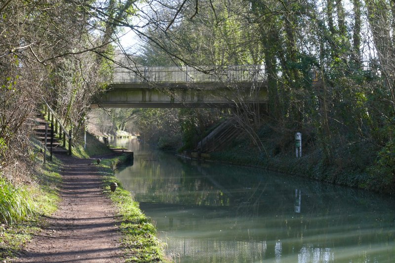
Where I left the Grand Union Canal at Tring Station
I crossed the road and turned right for a few yards (crossing the canal) before going down a lane or minor road - I was now on the route of the Ridgeway national trail, and would be following its white acorn symbols as far as Tring Park. After two or three hundred yards I took a footpath starting in the hedge on my right. This immediately crossed what was once an all-weather gallop for horses. The path continued between fences with meadows of long grass on either side - over to the right I could see Pendley Farm. I followed the path straight on until it ended on the A4251 main road (the A41 before the new dual carriageway was built, and long before that the Roman Akeman Street). A short distance to the right I took a footpath on the other side, which soon ran to the left of a paddock, and then crossed the impressive footbridge over the A41.
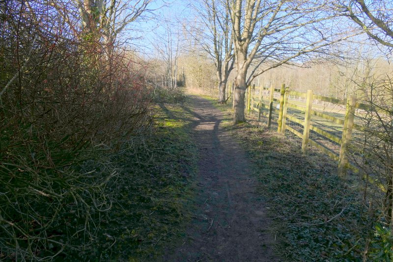
The footpath near Pendley Farm
The footpath near Pendley Farm
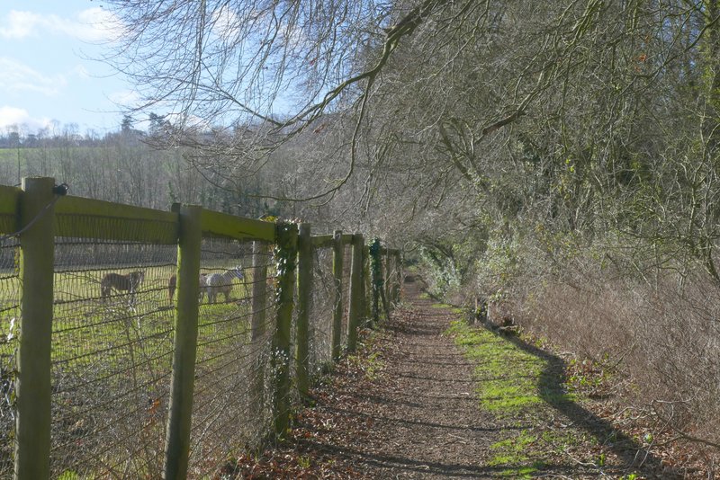
The footpath near Pendley Farm
The path to the footbridge over the A41
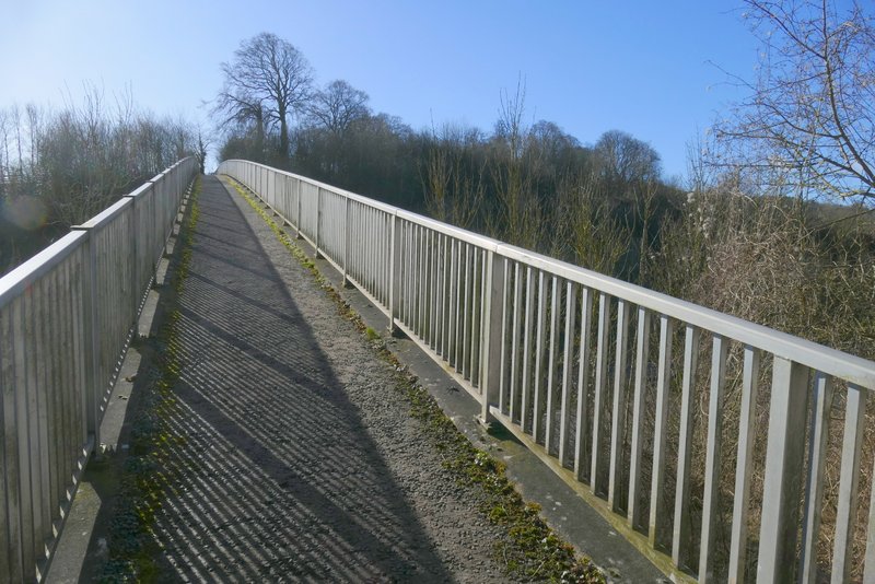
The footbridge over the A41