Pete's Walks - Marsworth and Wigginton (page 2 of 4)
If you are considering walking this route yourself, please see my disclaimer. You may also like to see these notes about the maps and GPX files.
The path continued gently uphill following a tall hedgerow on my right, with meadows or pastures over the fence on my left. I paused a couple of times to admire the view looking left and backwards. The path eventually led to a minor road named The Twist, where I went a few yards right and then took a path on the other side. Soon there was a nice view to the right, over Tring and the Vale of Aylesbury. The path soon followed a wood on my right, and when I reached a gate or stile, the path turned slightly right to follow another edge of the wood. The path then followed a hedge or fence on the left to reach another minor road just as it entered Wigginton.
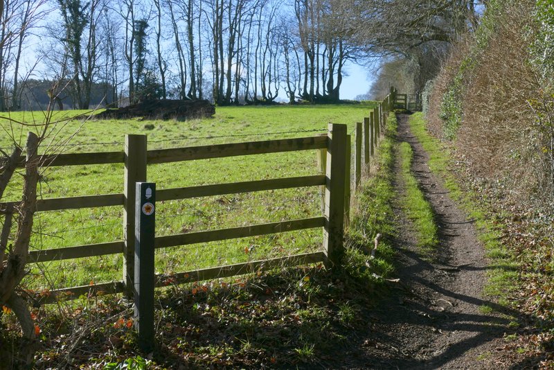
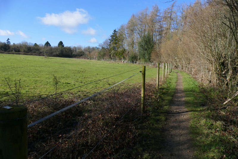
The Ridgeway continuing towards The Twist
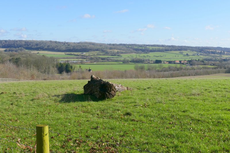
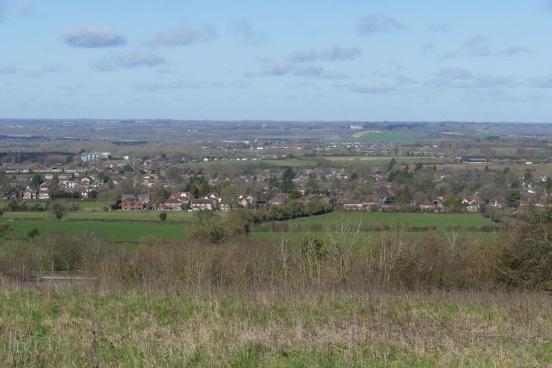
View back over the Tring Gap (one of the few breaks in the Chiltern escarpment, it is a major transport route with the A41, the Grand Union Canal, and the West Coast Main railway line running through it)
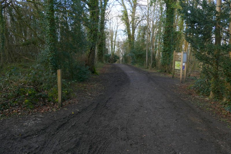
The Ridgeway continuing towards The Twist
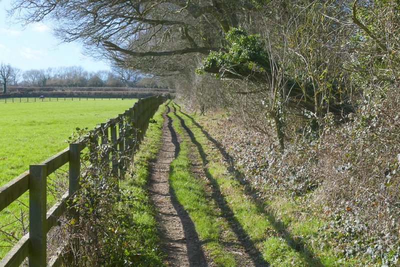
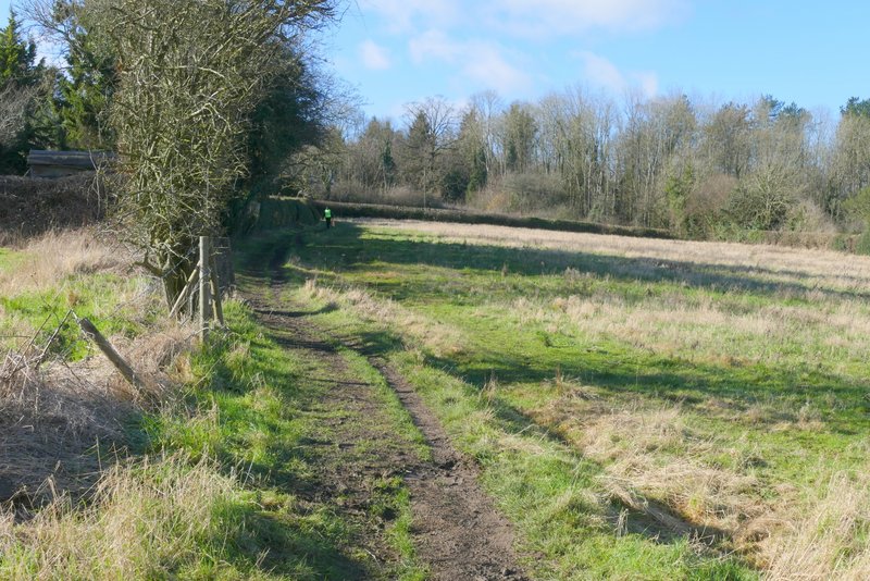
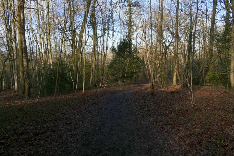
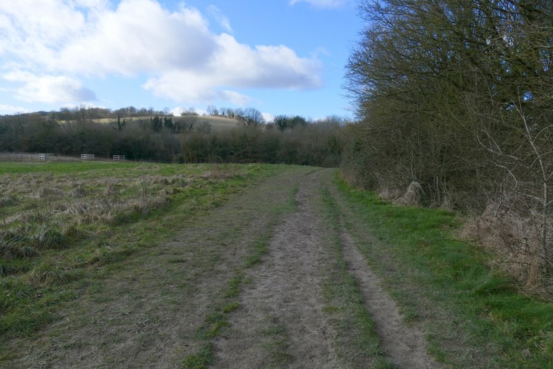
The path from The Twist to Wigginton
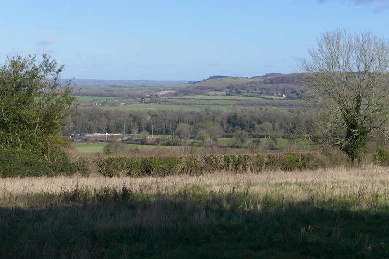
Looking right just after crossing The Twist
The path from The Twist to Wigginton
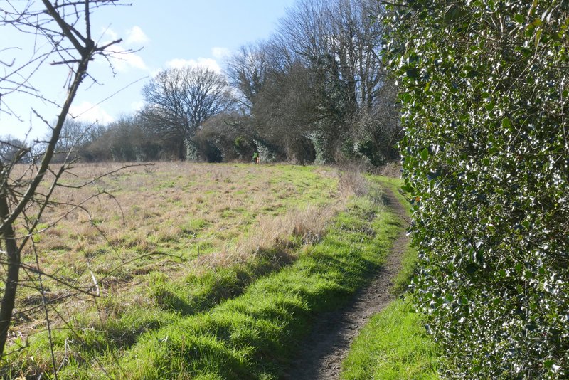
Approaching Wigginton
View right from the edge of Wigginton - Pitstone Hill with Ivinghoe Beacon (in shadow) behind it
Across the road I went down a drive past some cottages on the left, and continued ahead into Tring Park. After one or two hundred yards or so I reached a path junction where I went slightly right (another path went right) along a path that dropped down a wooded slope to an Obelisk at another path junction. Here I turned half-left, dropping down to where there was a gate at the bottom of the wood. I then continued along a broad band of short grass with longer grass and bushes either side. There was a short but steep descent at one point before a much more gradual rise, heading towards a large footbridge (over the A41). I didn't go over the bridge, but just past it I went through a gate and continued along a path beside a high hedge on my right. I crossed a lane and continued along a path starting on the other side.
Entering Tring Park
The path down to the obelisk
The path down from the obelisk
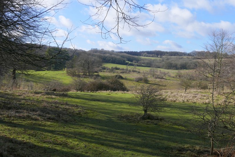
View left over Tring Park (I didn't go this way)
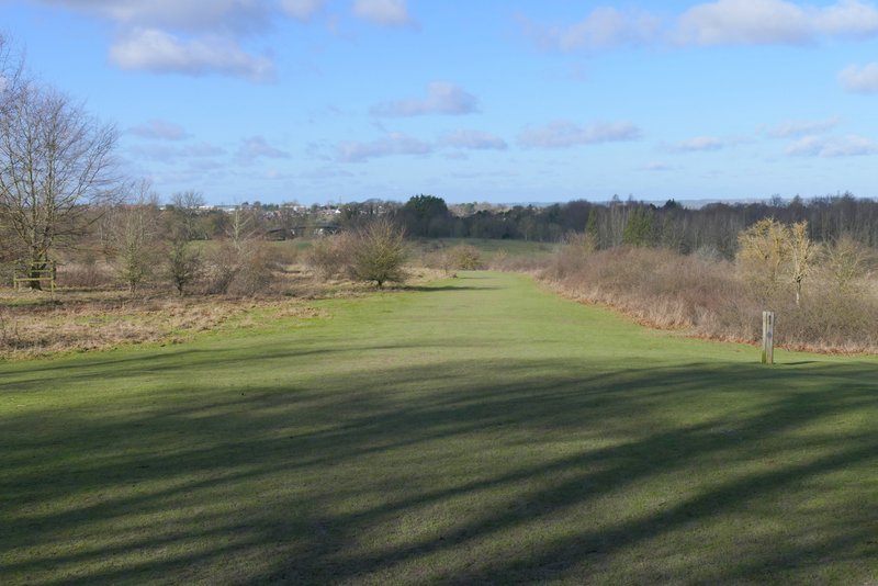
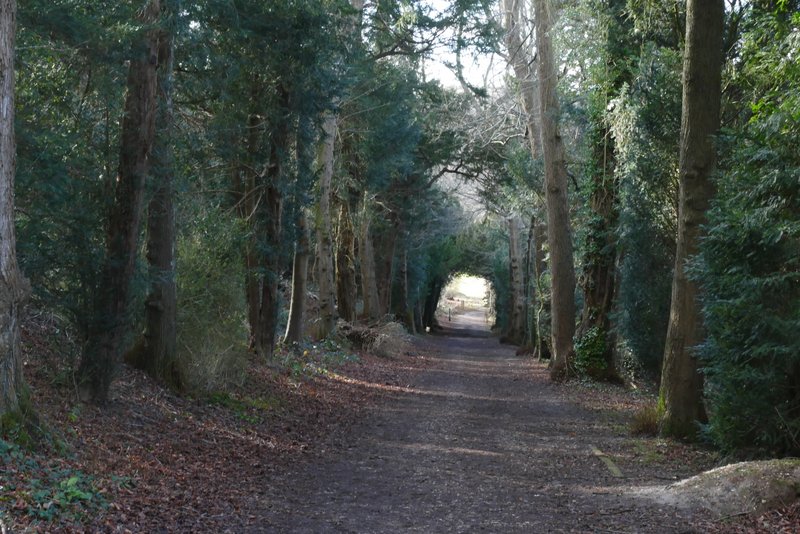
The path through Tring Park
The path through Tring Park
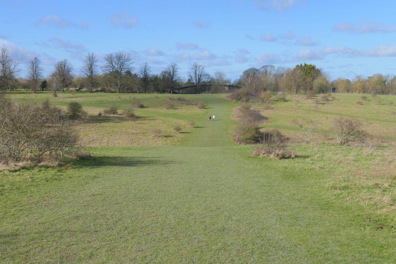
The path through Tring Park, next to the A41
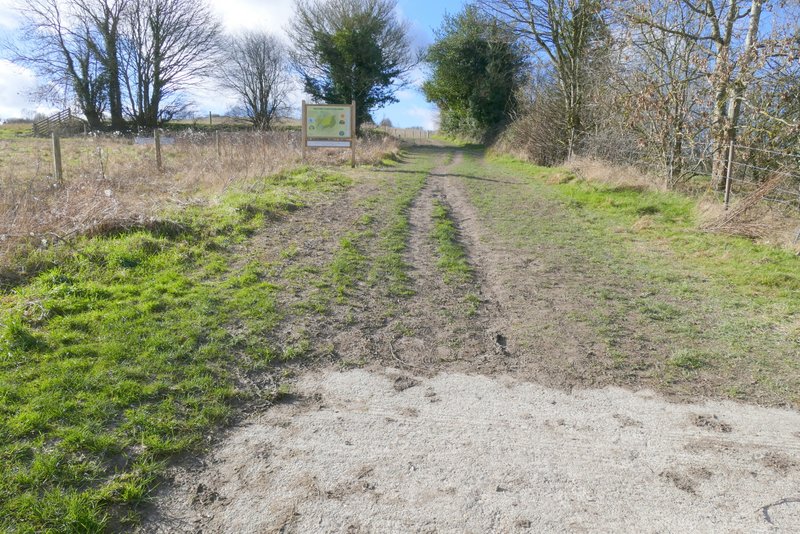
The path through Tring Park, after crossing a lane