Pete's Walks - Marsworth and Wigginton (page 3 of 4)
If you are considering walking this route yourself, please see my disclaimer. You may also like to see these notes about the maps and GPX files.
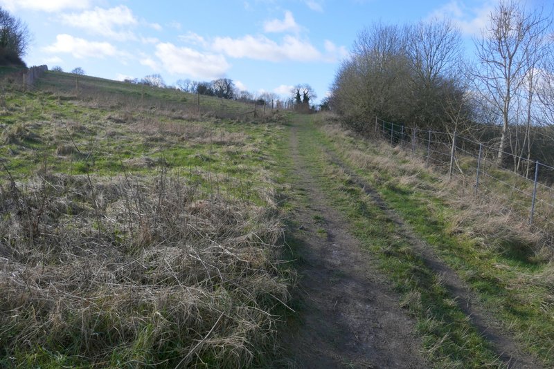
When I came to a path junction I went straight on - this was a new path for me, having always previously used the path going half-left and uphill. After a while the path entered Stubbing's Wood and turned left, soon running just inside the wood (rising steeply up the slope on my left) with fields to my right. After almost half a mile I went straight on at a path crossroads, now on a byway. I soon came to another junction, where I turned right onto another byway (this small area between West Leith and Hastoe has at least five byways, a far higher density than anywhere else in the Chilterns - it looks quite unusual on the OS map). I was back on familiar territory now, as I followed the hedge-lined byway which fairly soon turned to the left. I went straight on when another byway went right, and then turned right when I came to a T-junction of byways. After a few hundred yards I came to a lane.
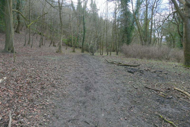
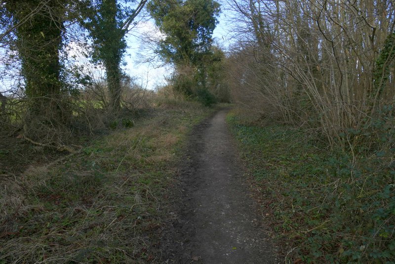
Further along the same path (this part was new to me)
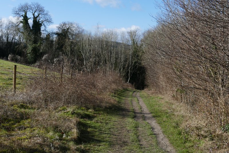
Further along the same path
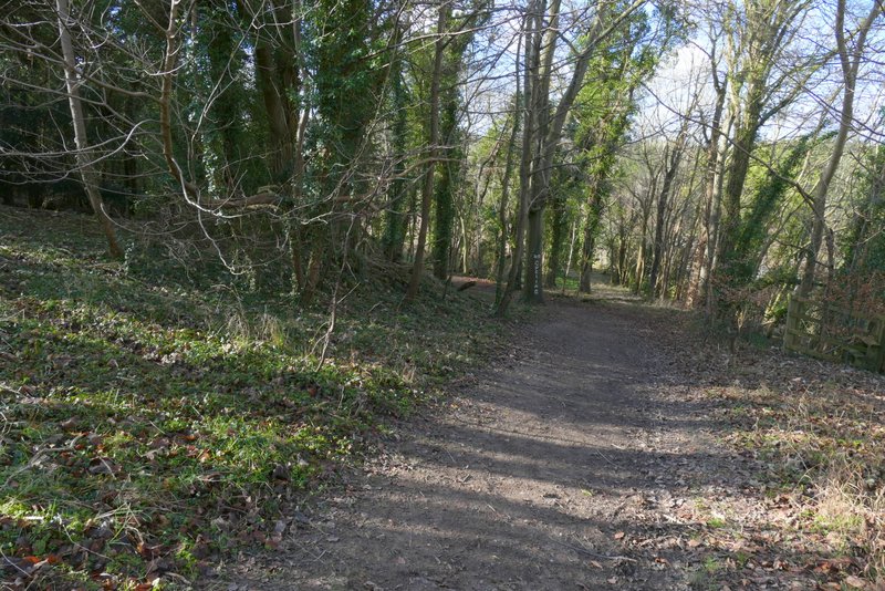
The same path now running along the bottom edge of Stubbing's Wood
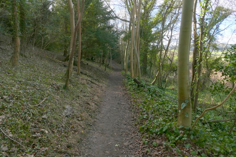
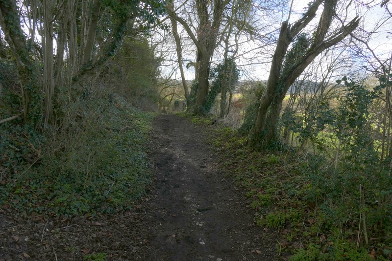
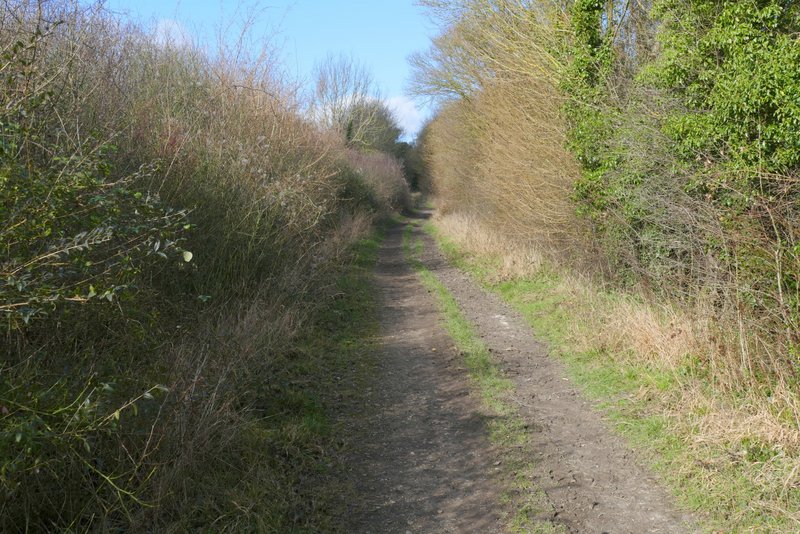
The footpath along the bottom edge of Stubbing's Wood
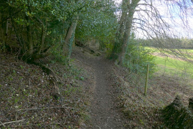
The footpath along the bottom edge of Stubbing's Wood
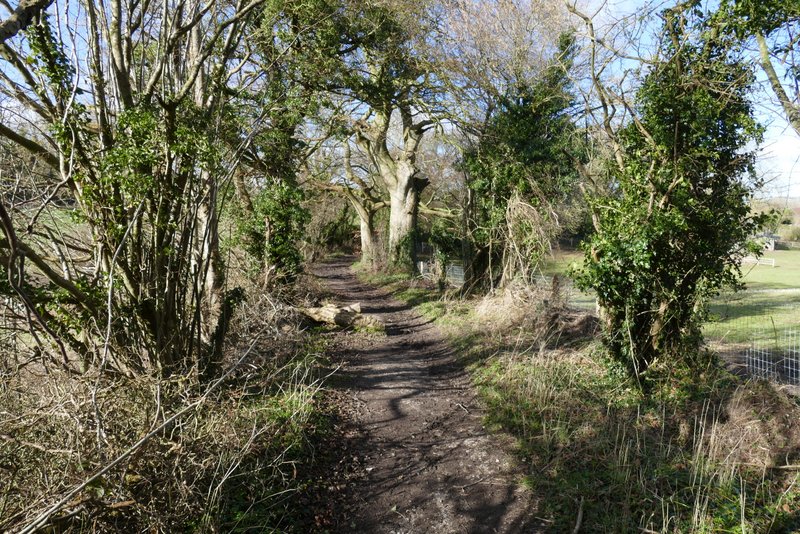
The byway after I went straight on at a path crossroads
The byway after I turned right
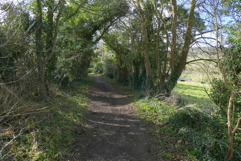
Further along the byway
Further along the byway (after it has turned left)
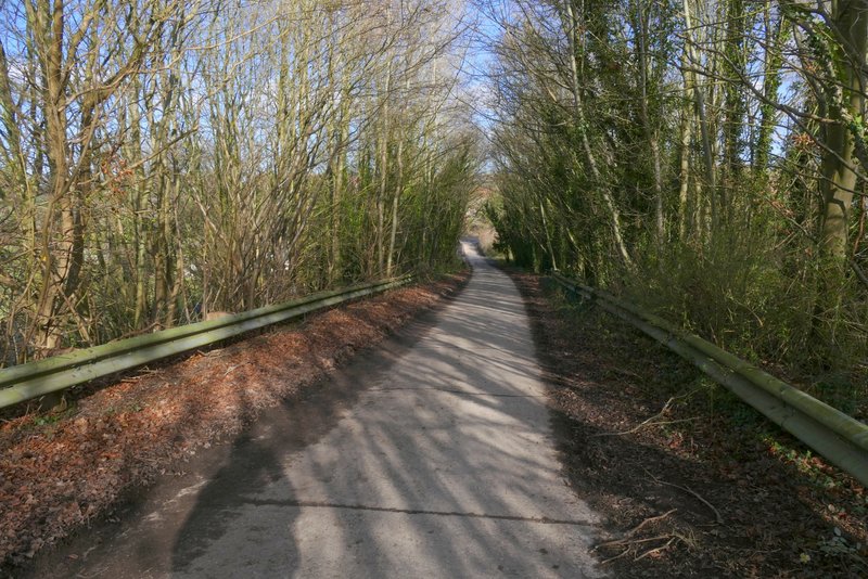
The byway after I turned right at a T-junction of byways
The same byway, just before it reaches a lane
Across the lane I continued down another (or possibly the same) byway, named Fox Lane on the OS map. After about a quarter of a mile a path crossed the byway but I went straight on - this was now new to me as previously I've always used the path going left here. The byway soon turned half-left, running close to the A41 dual carriageway on my right. After a few hundred yards the byway turned right to cross a bridge over A141, and continued on to end when it met a road (another part of Akeman Street, according to the OS map). Across the road I followed a surfaced footpath beside a new housing estate on my right.
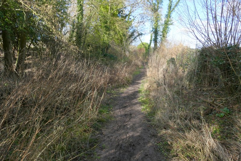
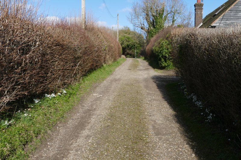
Fox Lane
Fox Lane
Fox Lane
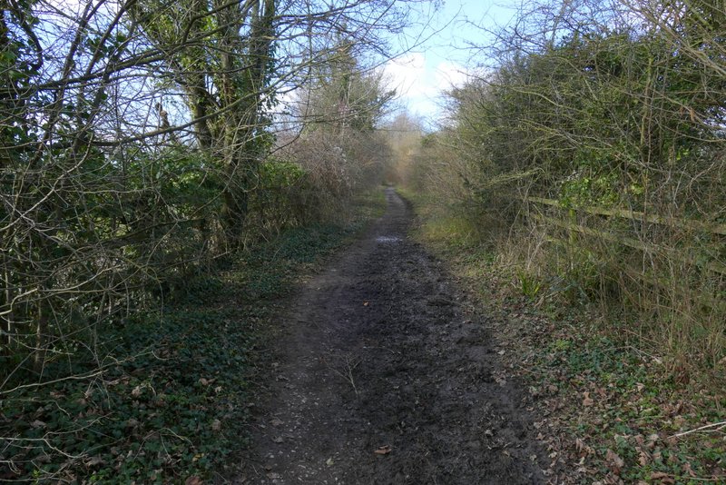
Fox Lane
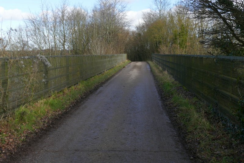
The byway crossing the A41
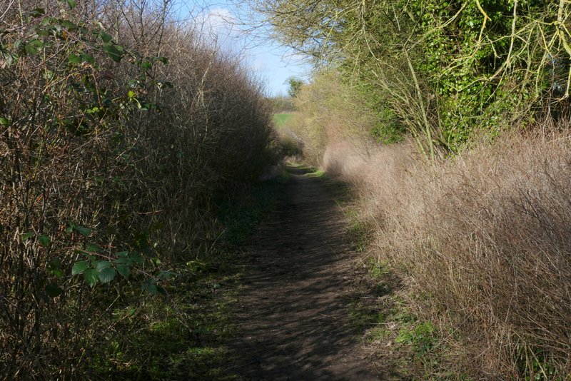
The byway approaching the road
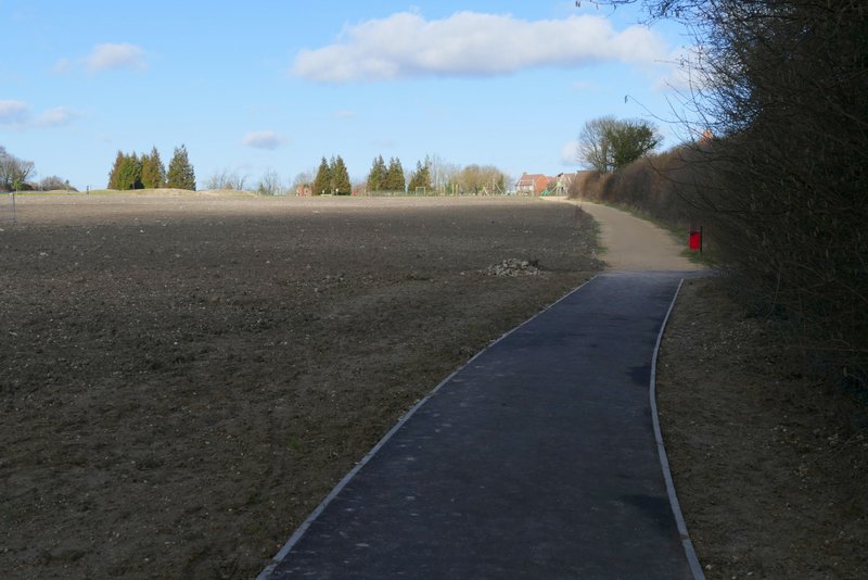
The path next to the new housing estate