Pete's Walks - Maidensgrove Common, Nettlebed, Coxlease Farm (page 4 of 4)
If you are considering walking this route yourself, please see my disclaimer. You may also like to see these notes about the maps and GPX files.
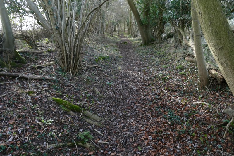
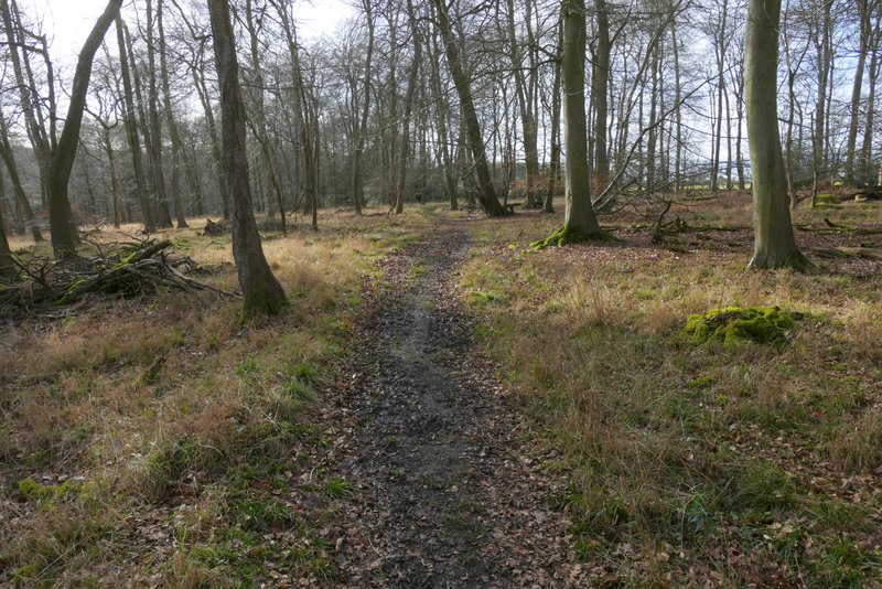
On reaching Coxlease Farm I turned left through the farmyard and followed a bridleway beside Almshill Wood. I then turned left at a bridleway junction, this bridleway dropping downhill through the wood beside the boundary fence for Stonor deer park on my right. I usually come up this path (I last walked down it in 2016), and I always think of it as one of the three hardest uphills I know in the Chilterns although I've never been sure why - I do now, it seemed far steeper going down than it does going up! I know that because our eyes are 5-6 feet above ground level, slopes do look less steep when you look up them than when you look down them, but that doesn't explain the difference here. The first part of the bridleway wasn't very steep (I persuade myself it's almost flat when I'm coming uphill) but then it turned half-left and went straight down the slope (rather than at an angle)- I'm surprised that it's a bridleway, I feel sorry for any horse coming up this hill.
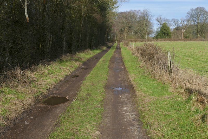
The bridleway from Coxlease Farm
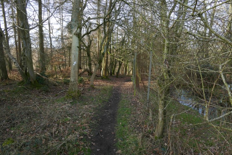
The bridleway descending to Stonor
The bridleway descending to Stonor
The bridleway descending to Stonor
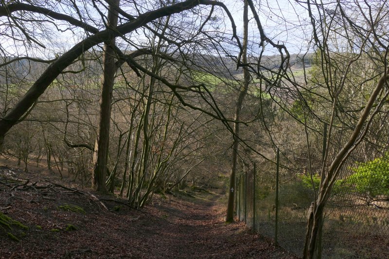
The bridleway descending to Stonor
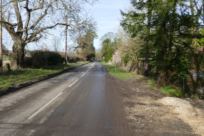
The road through Stonor
The road through Stonor
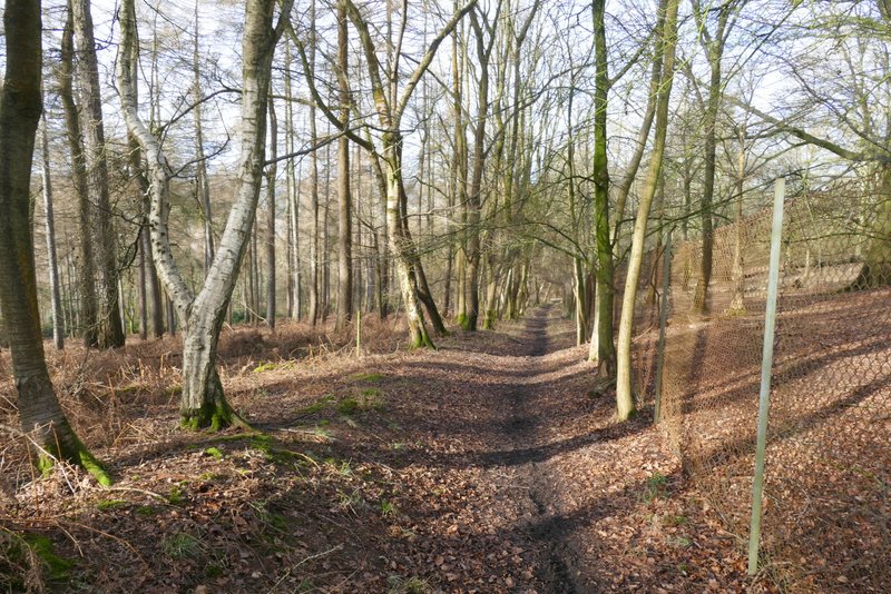
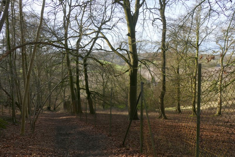
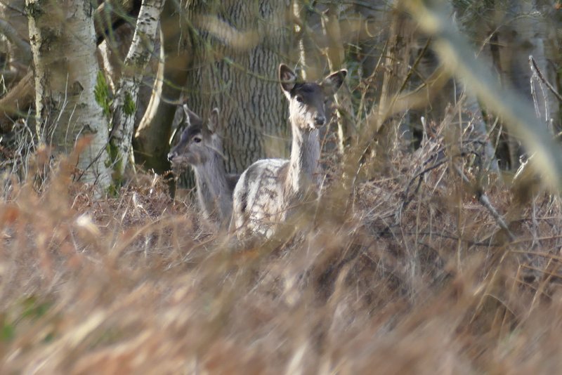
At the bottom of the slope the bridleway ran between gardens and came to the road through Stonor, where I turned right. I followed the road through the village, passing a junction where a lane went left to Maidensgrove and then passing Stonor Park on my right. Shortly after leaving the village I took a footpath on the left that ran through the midle of a broad hedgerow, gradually rising uphill to reach Pishillbury Wood. The path continued at similar gradient through the wood. I had to detour round another fallen tree, then spotted a couple of Fallow Deer that I managed to photograph. The path levelled out as it continued through the wood, and I then saw ten more Fallow Deer run across the path in front of me, one after the other. On the far side of the wood I came to a junction, where I turned left along a bridleway for a hundred yards or so, then turned right at another junction (these two junctions are shown as a crossroads on the OS map). This path left the wood and continued down a private road or drive in Maidnsgrove and at its end I turned right along a lane that soon brought me back to where I'd started from on Midensgrove Common.
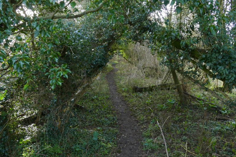
The path to Pishillbury Wood, after I turned left from the road
The path to Pishillbury Wood
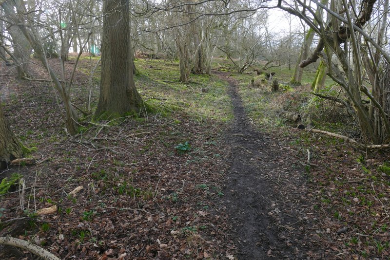
The path continuing through Pishillbury Wood
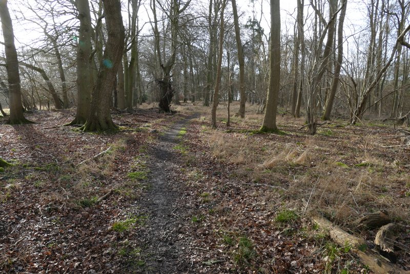
The path through Pishillbury Wood
The path through Pishillbury Wood
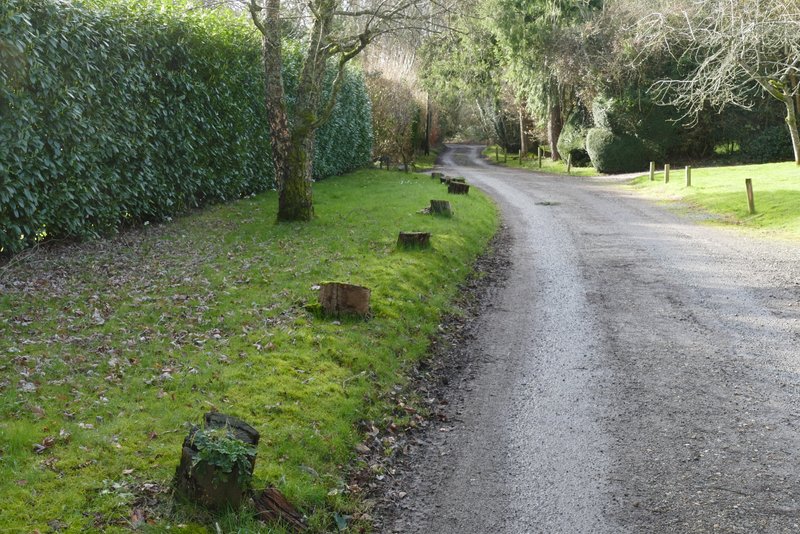
The private road through Maidensgrove
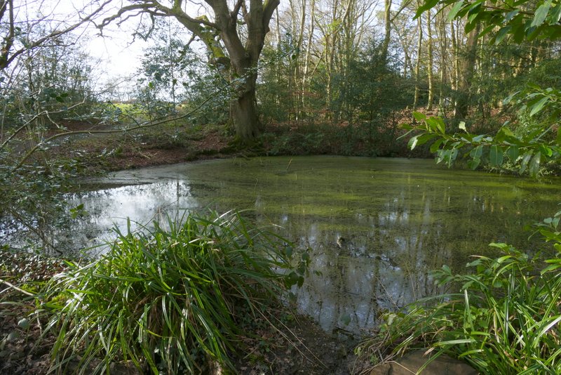
Pond on the edge of Maidensgrove Common
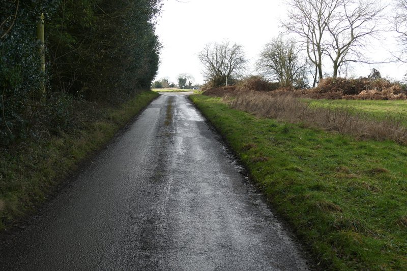
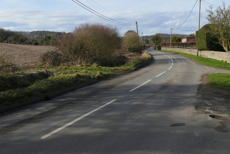
The lane approaching Maidensgrove Common
This was a really nice walk on a lovely day (it really felt quite Spring-like). The highlight was the path going north to Coxlease Farm with the fine views over the Stonor valley - I'd forgotten how nice the path was in this direction, the last time I walked it this way it was on a foggy day in 2016. But the path at the start down to Upper Bix Bottom and the path from Crocker End down to Bix Bottom were also very enjoyable.