Pete's Walks - Bledlow Ridge, Stokenchurch, Sprig's Alley (page 1 of 5)
If you are considering walking this route yourself, please see my disclaimer. You may also like to see these notes about the maps and GPX files.
I did this circular walk of about 8.9 miles on Tuesday, 20th February 2024. It was a new route for me, with the first third of the walk being mainly on paths I'd not walked before. There was a short section near Stokenchurch which I'd only walked once before in the opposite direction, the rest was on more familiar paths. The name I've given the route is perhaps a little inaccurate, as it only just touches the outskirts of Stokenchurch.
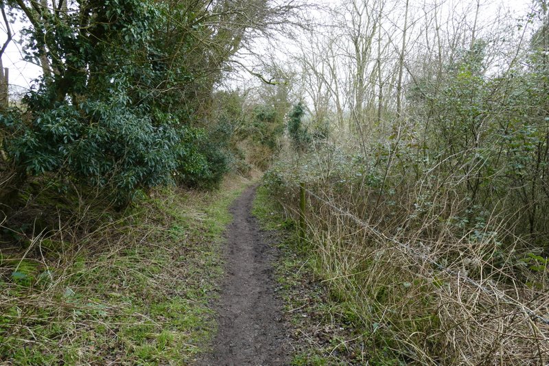
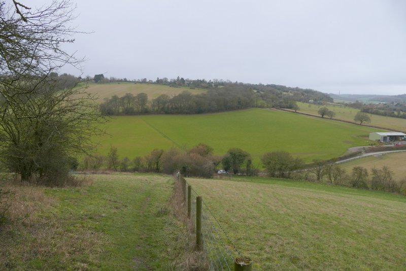
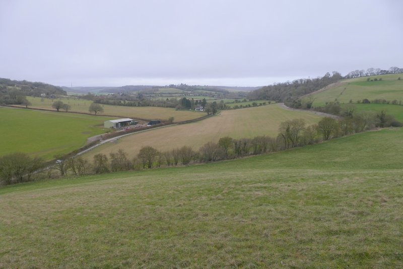
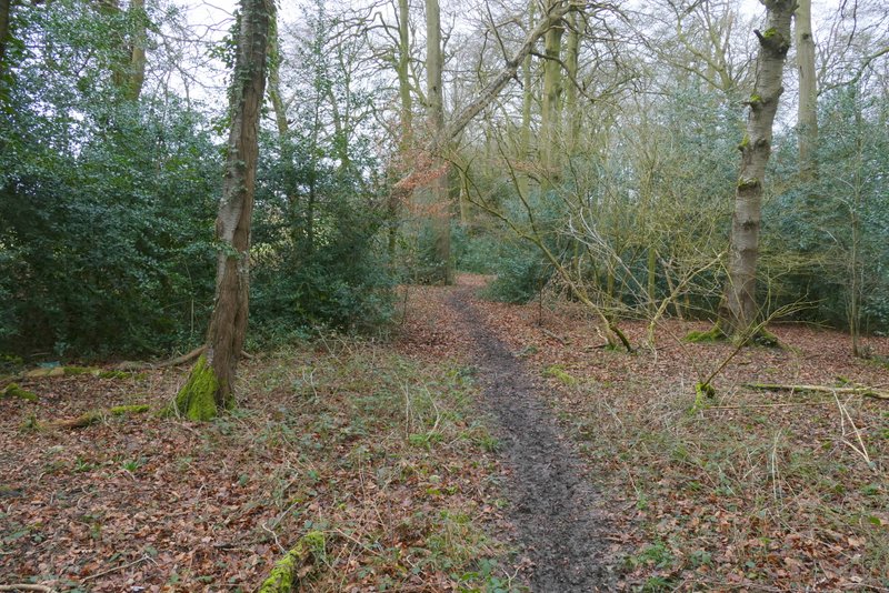
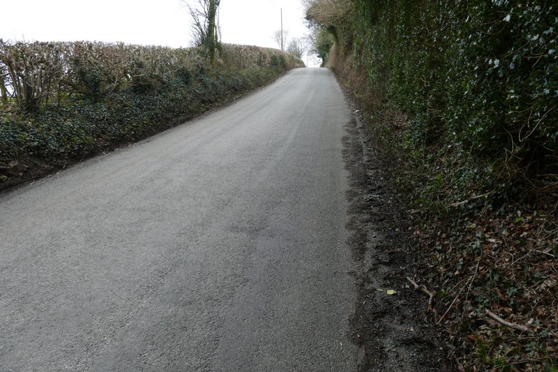
I parked in a side street in Bledlow Ridge (Grid Reference SU 796978) and started walking about 10.10 am. I followed the road through the village southeastwards, passing the village church on my left. After about a third of a mile, immediately after a road junction where a road went left (towards Princes Risborough), I took a bridleway on the right. The first section of the bridleway was new to me, but after a footpath came in from the right I was briefly back on known territory (it's part of my Cadmore End, Crowell Hill, Radnage route). A little further along the bridleway I then took another footpath on the right, starting a two and a half mile section that was almost entirely new to me. This footpath dropped steeply downhill beside a wire fence on my right - there was a nice view along the valley here.
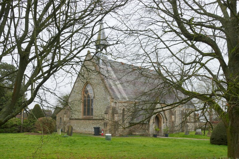
Bledlow Ridge
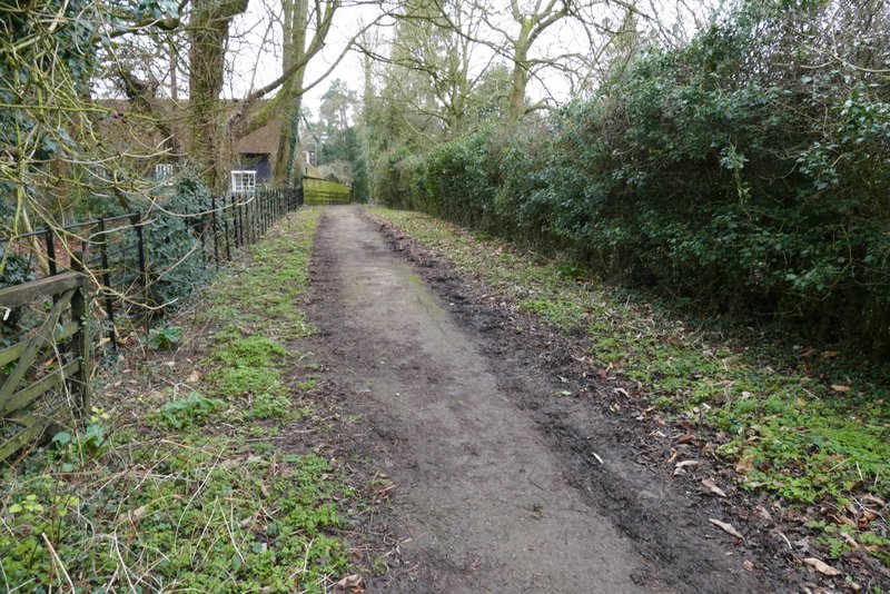
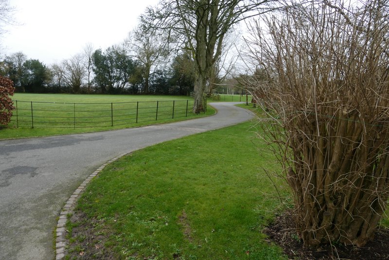
The bridleway from Bledlow Ridge
The bridleway from Bledlow Ridge
The bridleway from Bledlow Ridge
The footpath after I turned right from the bridleway
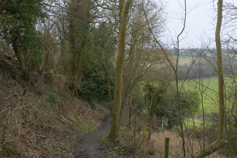
View right along the valley southwest of Bledlow Ridge
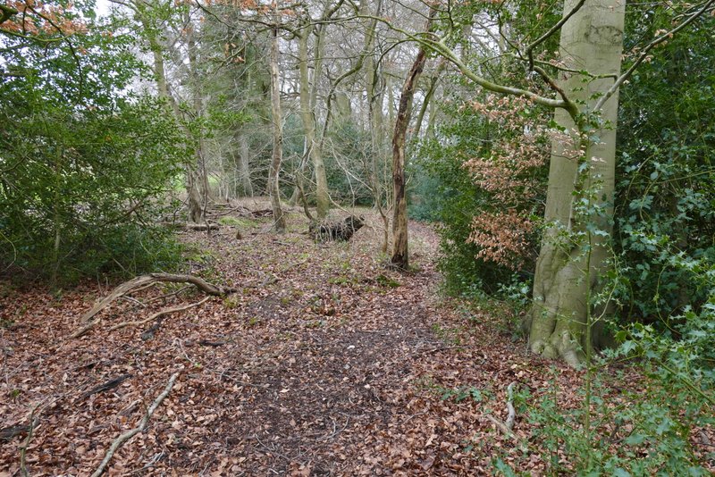
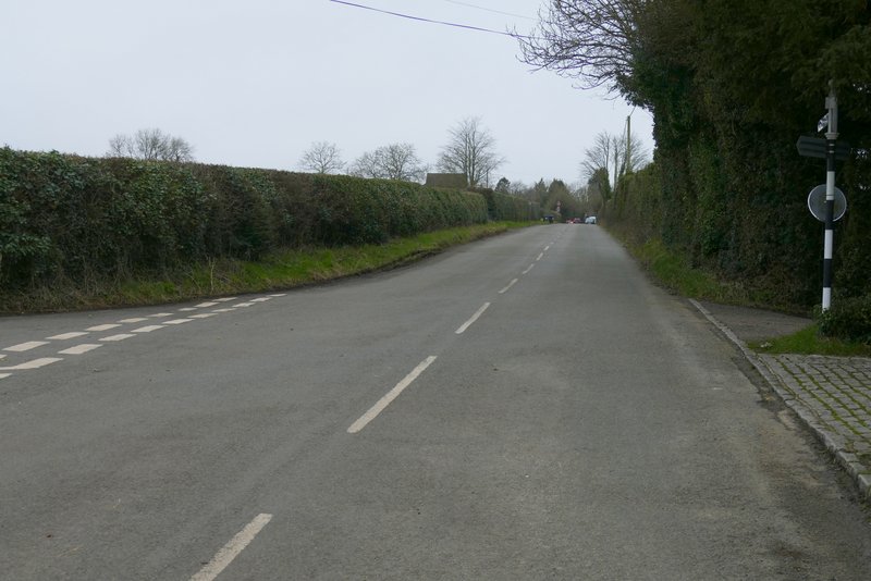
At the end of the path I turned right along a lane (Bottom Road) and then took a path on the left. This ran gently uphill between fences either side to reach a tree belt (or narrow wood), where it turned right through the middle of the tees. There was a lot of Holly here. The path soon turned slightly left and rose a bit more steeply through the trees until it reached a lane. I turned left and followed the lane (more like a road) uphill towards The City, the oddly-named main settlement in Radnage (the parish has various other hamlets or 'Ends') - the OS map marks the lane here as '1 in 7 or steeper', but it didn't seem that steep to me. At a junction where another lane went straight on I turned right, the lane now becoming City Road and soon levelling out. I followed the road for almost three-quarters of a mile (it didn't seem that far) - just after passing the village school I ignored a footpath on the right and further on ignored a bridleway going right. I then took a second bridleway on the right, that started down a drive
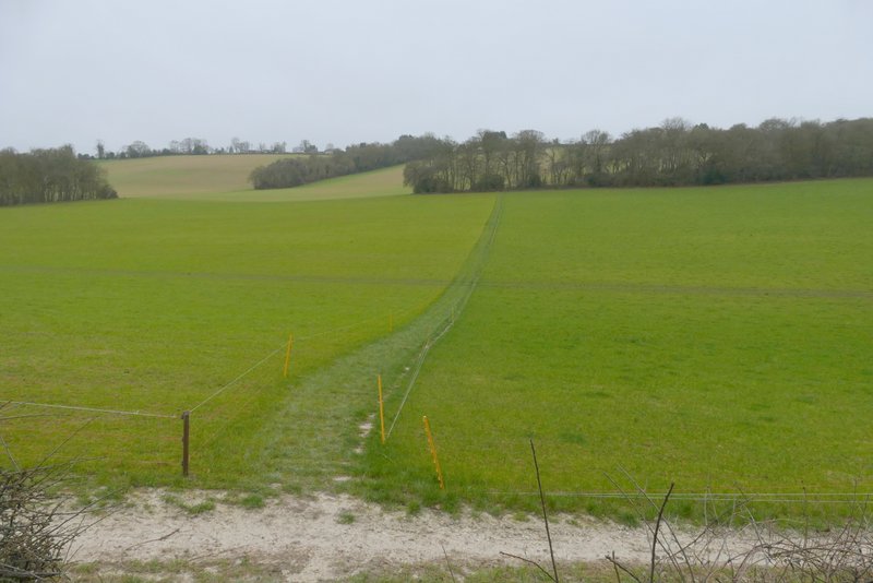
The start of the path up the other side of the valley
The path up the other side of the valley
The path up the other side of the valley
The lane into The City, Radnage
The road through The City, Radnage
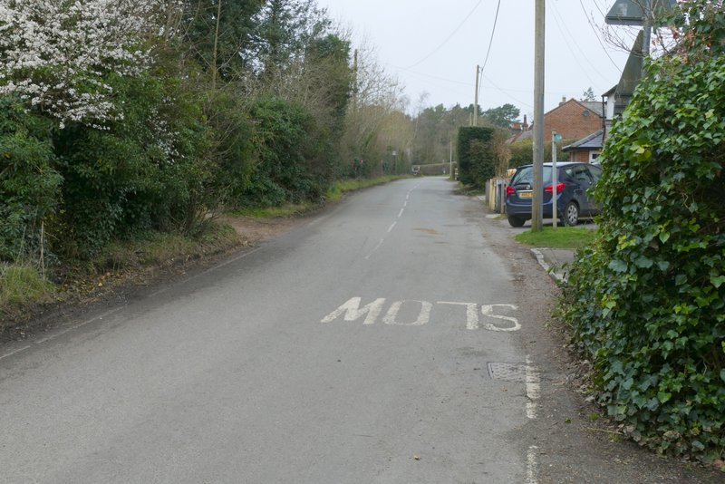
The road through The City, Radnage
The bridleway where I turned right (I forked left from it just before the drive goes out of shot)