Pete's Walks - Bledlow Ridge, Stokenchurch, Sprig's Alley (page 2 of 5)
If you are considering walking this route yourself, please see my disclaimer. You may also like to see these notes about the maps and GPX files.
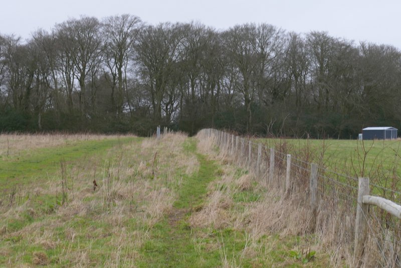
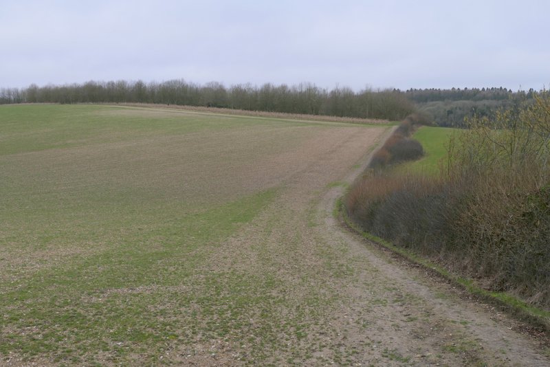
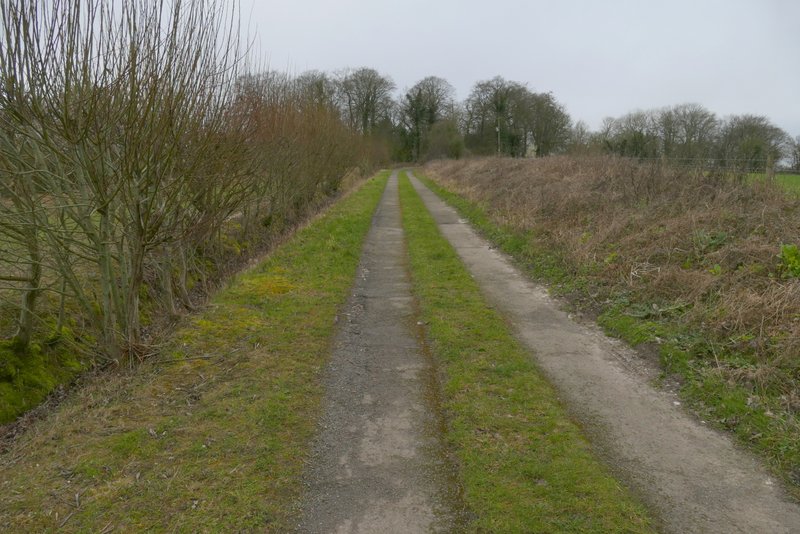
I very quickly left the bridleway by taking a footpath forking left from the drive. This ran a short way between trees and fences to a kissing-gate, beyond which it ran between wire fences with paddocks on either side. After a few hundred yards it went through a gate and turned slightly right, now with a fence on the left and both a fence and hedge to the right. The path was heading towards Stokenchurch, which I could see ahead of me in the distance. After a while the path turned slightly left, then a little further on went slightly right. I could hear road noise from the nearby A40 and M40, and the countryside here seemed flat and fairly featureless, so I'm not sure I'll use this path again in any other routes - but perhaps I should try it on a better day, when it's not so dismally grey and muddy.
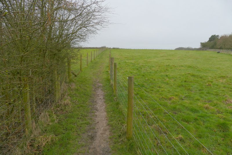
The path heading to Stokenchurch
The path heading to Stokenchurch
The path heading to Stokenchurch
The path heading to Stokenchurch
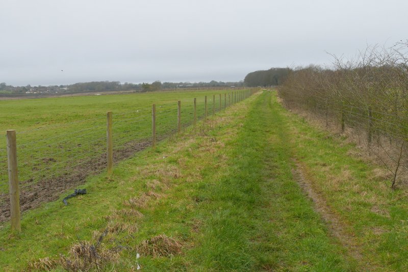
About three-quarters of a mile after leaving the road I came to a path crossroads where I turned right (the fingerpost was almost hidden in the end of a hedgerow on my left). This soon brought me to Pophley's Wood, and this was more pleasant as the path ran gently downhill through the wood for about a quarter of a mile. Beyond the wood the path continued beside a hedgerow on my right, with a large arable field on my left. It then passed a small plantation on my left to reach a path T-junction.
The path after I turned right, heading to Pophley's Wood
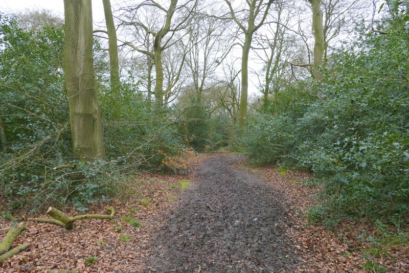
The path continuing through Pophley's Wood
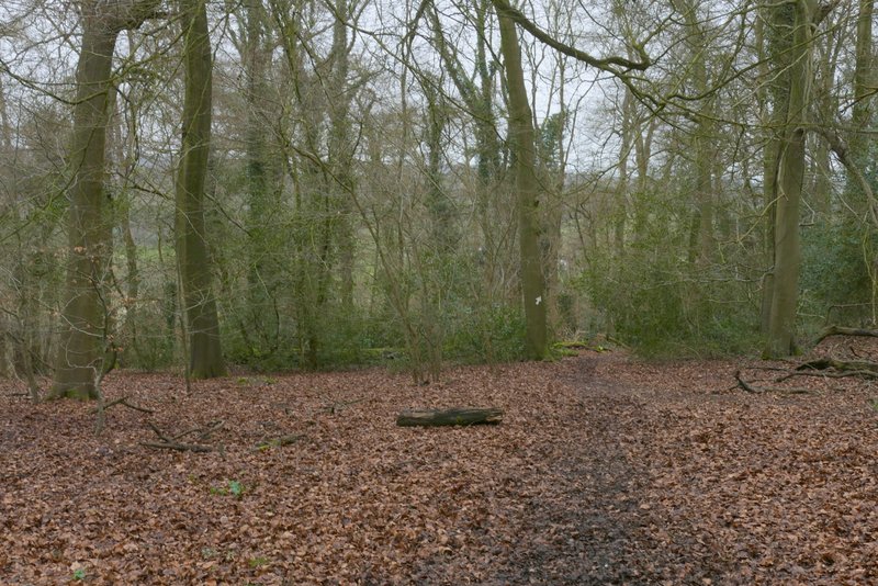
The path continuing through Pophley's Wood
The path continuing through Pophley's Wood
The path continuing from Pophley's Wood
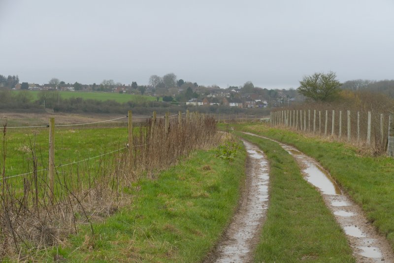
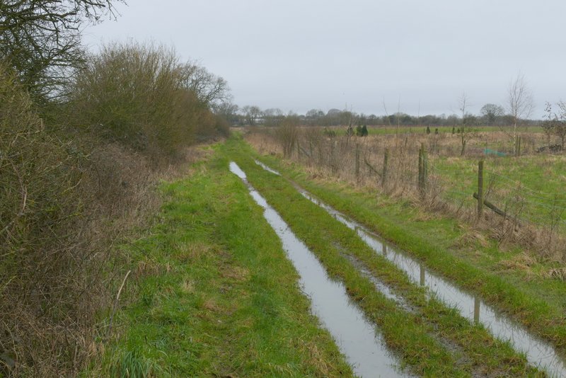
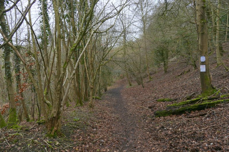
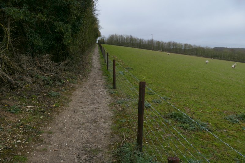
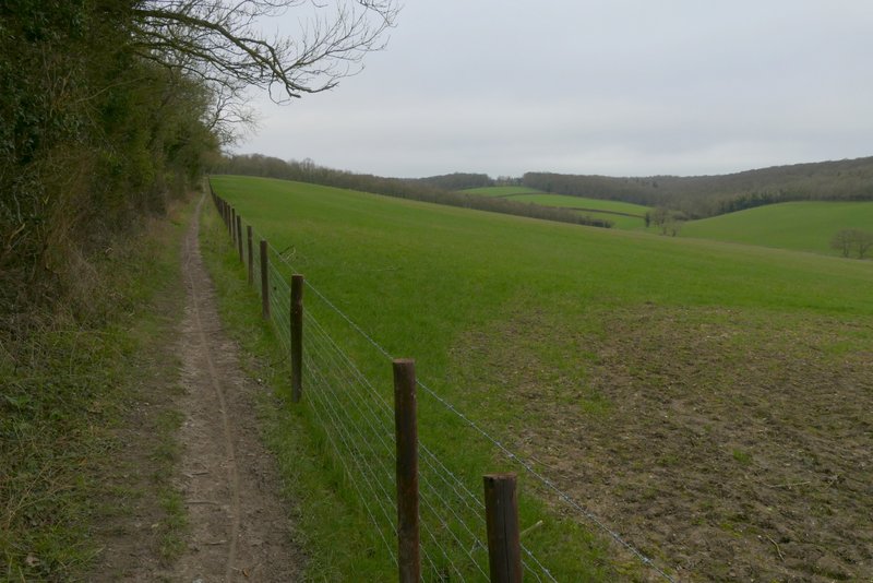
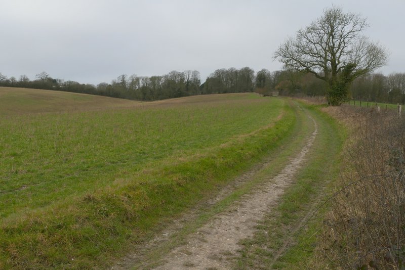
I was back on familiar territory as I turned left onto a section of the Chiltern Way - I'm not sure if I've walked this path since I walked that long-distance path for a second time in 2007. The path went through a hedge gap and continued very slightly uphill between the hedge and a wire fence beside a large sheep pasture, with pleasant view over the valley on that side. After several hundred yards the path switched to the other side of of the field boundary, now following a track. After a few hundred yards I went straight on at a path junction (where the Chiltern Way forked left towards Stokenchurch). The path ended when it reached a drive, somewhere near a property named Mallard's Court (according to the OS map), where I turned left.
The section of the Chiltern Way after I turned left
Further along the same path
Further along the same path
Further along the same path (no longer on the Chiltern Way)
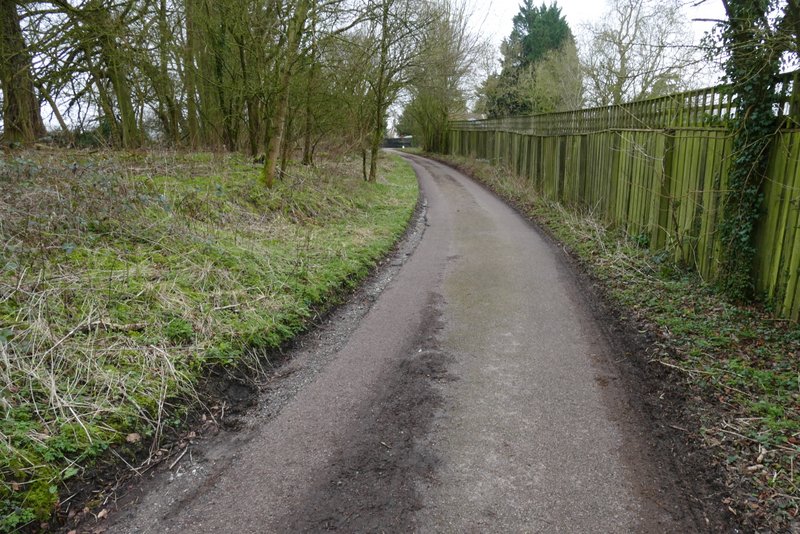
The drive near Mallard's Court