Pete's Walks - Ashridge, Frithsden, Ward's Hurst Farm (page 4 of 5)
If you are considering walking this route yourself, please see my disclaimer. You may also like to see these notes about the maps and GPX files.
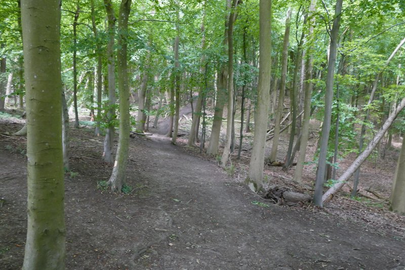
I stopped on a seat to have my sandwiches. I then continued towards the monument and when level with it took a broad track going right, back into the woods. After maybe 100 yards I took a footpath forking left (there was a yellow waymark on a post, but the path starts behind a seat so is easy to find anyway). This path was soon dropping downhill through the trees. The path ended when it came to a bend in a bridleway where I went straight on, continuing to descend the wooded slope. At the foot of the slope the bridleway turned left and passed a large old Ash tree (which I almost always photograph when I'm here).
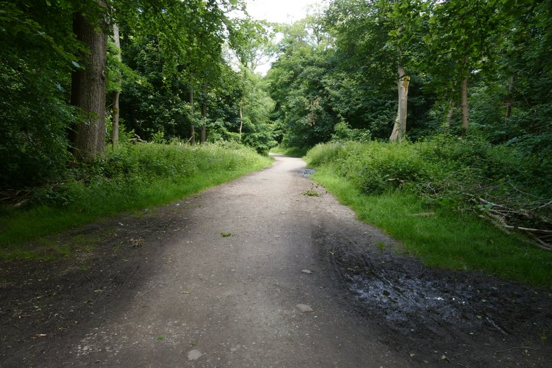
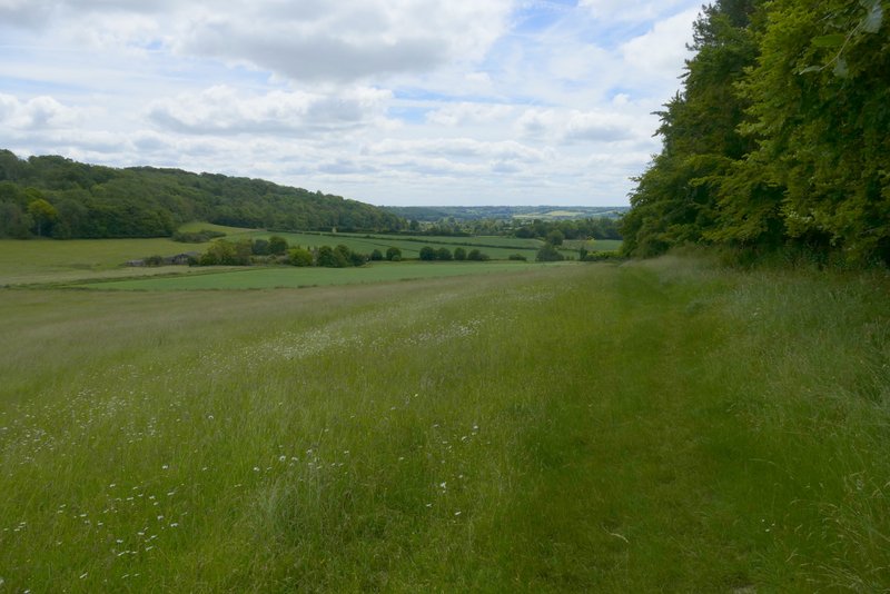
The track after I turned right at the Bridgewater Monument
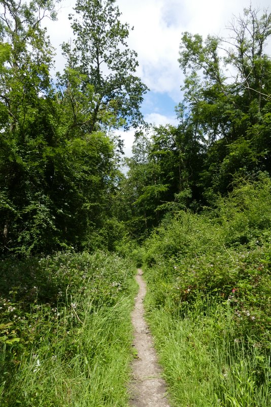
The footpath forking left
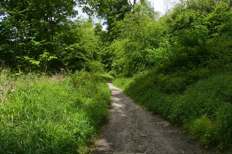
The bridleway continuing downhill
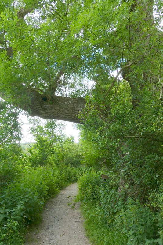
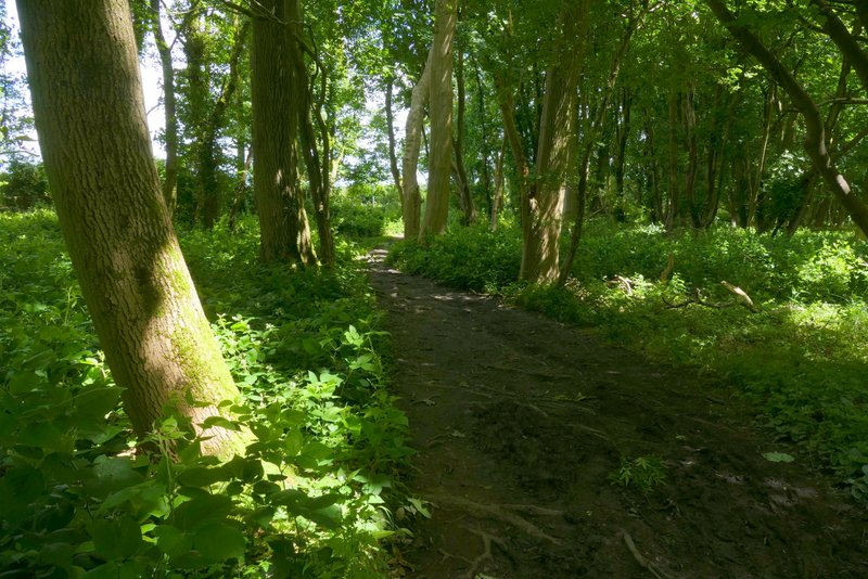
Big old Ash tree, at the bottom of the slope
Just after a ploughed field started on my right, I took a path that crossed the field to a hedge gap and then turned half-left to cross a larger ploughed field. After crossing the drive to Duncombe Farm (which was to my right), the path went steadily uphill across an empty pasture. After a gate, the path continued more gently uphill along the edge of a meadow, with a wood on my left. From the corner of the meadow the path entered the wood, dropping downhill a short way then going quite steeply uphill to where a bridleway crossed it (this was the bridleway from the Bridgewater Monument that I'd been on very briefly earlier).
Start of the path towards the drive to Duncombe Farm
The path towards the drive to Duncombe Farm - from the drive the path goes half-right in a more or less straight line to the field corner in the top right of the shot
The path continuing on the other side of the drive from Duncombe Farm
The path continuing on the other side of the drive from Duncombe Farm
View back towards Aldbury
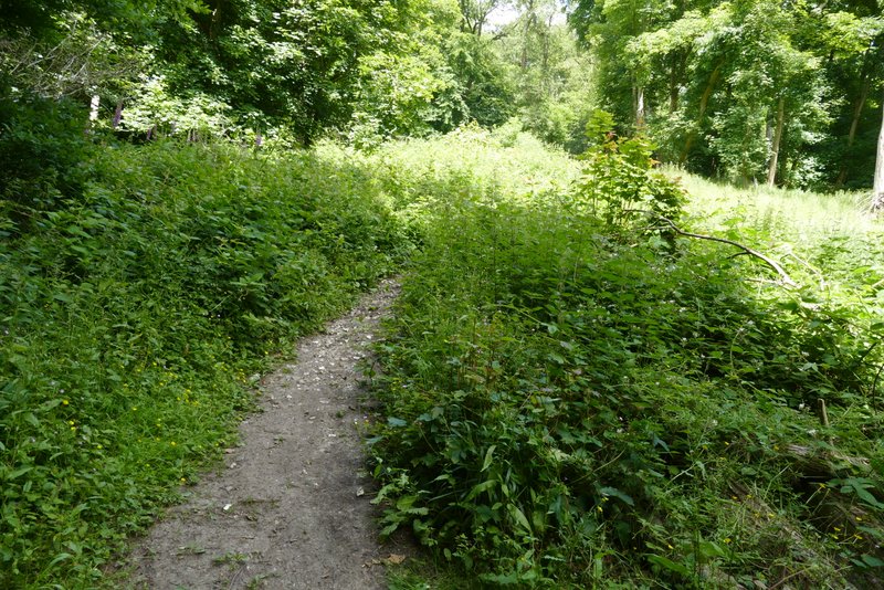
The path continuing through the wood
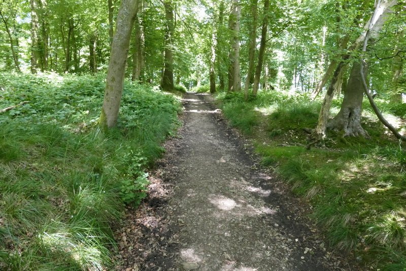
The path rising steeply through the wood
I went straight on along the path, which soon levelled out and then turned right. I then looked out for a path on the left that took me a few yards to a road, opposite the start of the drive to Ward's Hurst Farm. I then followed the drive towards the farm. On reaching the farmyard the path goes left and then right, with farm buildings either side (yellow waymarks show the way). I made my way to where there were numerous waymarks near a gate on the left, then turned right to pass between more farm buildings (I was now back on the route of the Ashridge Estate Boundary Trail), and would be for the rest of the route).
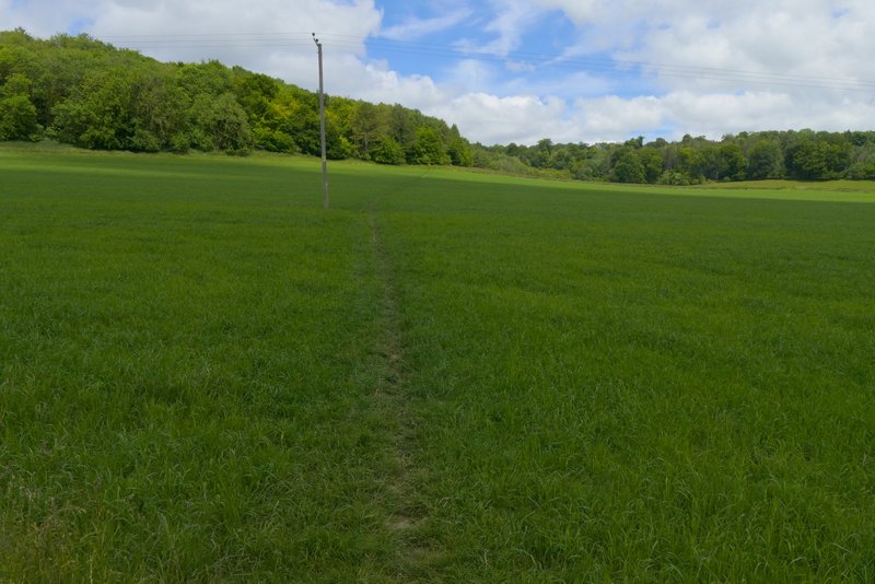
The path continuing after crossing the bridleway
The path continuing after crossing the bridleway
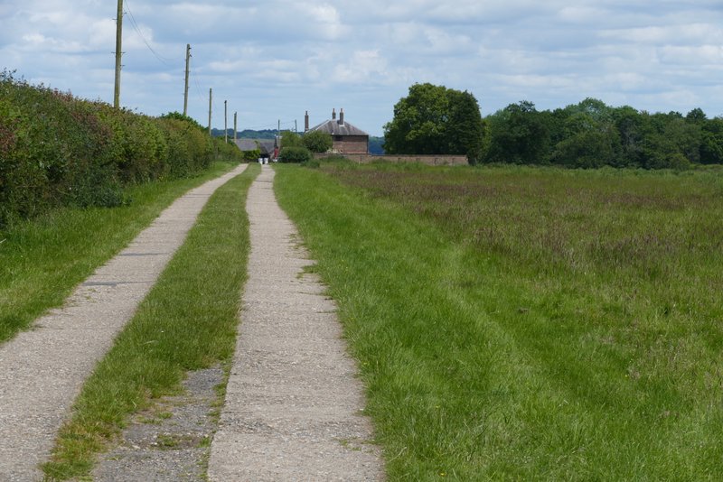
The drive to Ward's Hurst Farm
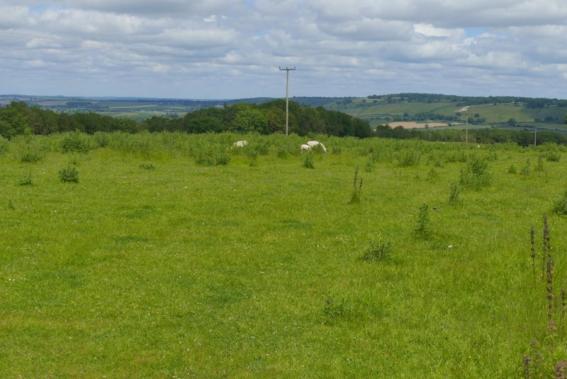
View towards Dunstable Downs from Ward's Hurst Farm