Pete's Walks - Bledlow Ridge and Aston Rowant (page 5 of 6)
If you are considering walking this route yourself, please see my disclaimer. You may also like to see these notes about the maps and GPX files.
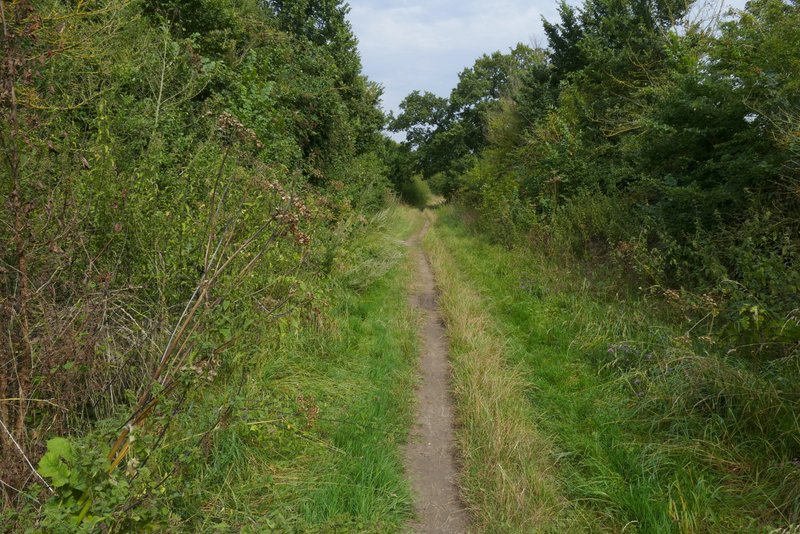
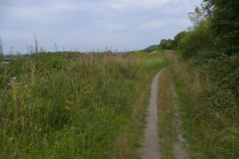
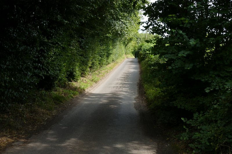
I turned right and headed northeast along the Ridgeway, which hereabouts is a broad grassy track between hedgerows (that generally block any views). I'd noticed that I'd started to feel my legs tightening up even before I reached Stokenchurch, and I was now getting rather concerned about how weary they were when I'd only done just other half the route. I soon crossed the A40 and a little later I checked the time and was dismayed to see it was 1.40pm - I'd already been walking about three and a half hours (minus ten minutes spent photographing butterflies), and I realised I still had two hours or so to go. I had obviously miscalculated the distance of this route (instead of 9-10 miles it was 12.2 miles when I later drew it on Google maps). I don't know how that happened because my rough calculations measured on the map are usually pretty accurate (I have my own 'rule of thumb' for measuring distances on OS Explore maps - the top half of my thumb equals one kilometer!). So I rather hurried along the fairly flat Ridgeway, not stopping to take too many photographs. I crossed another road (the one between Kingston Blount and the top of Aston Hill, another road I frequently use when driving to the start of a walk). Occasionally I could see the wooded Chiltern escarpment across the fields to my right.
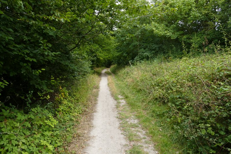
The Ridgeway heading to the A40
The Ridgeway heading to the A40
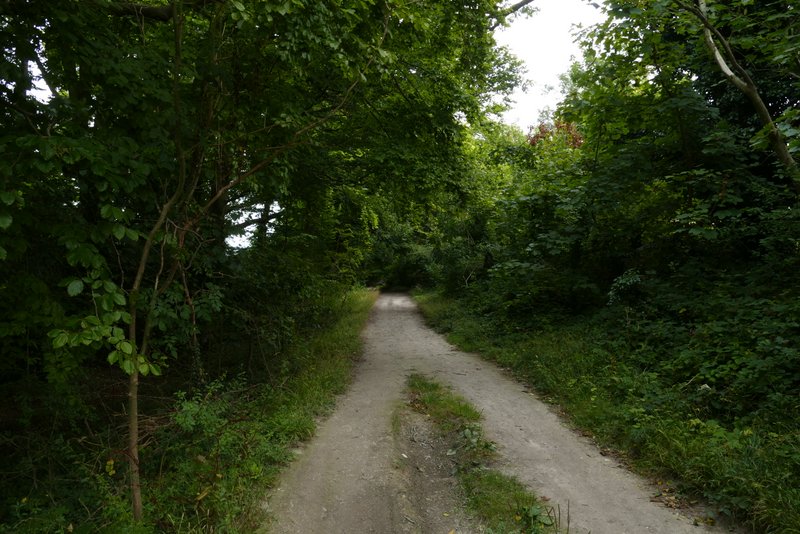
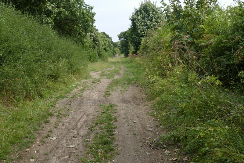
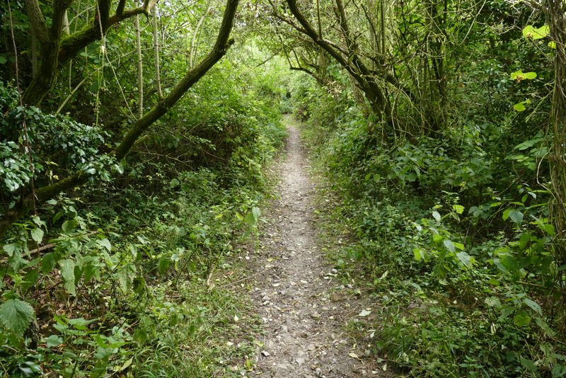
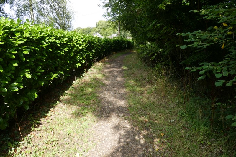
The Ridgeway after crossing the A40
The Ridgeway after crossing the A40
The Ridgeway after crossing the A40
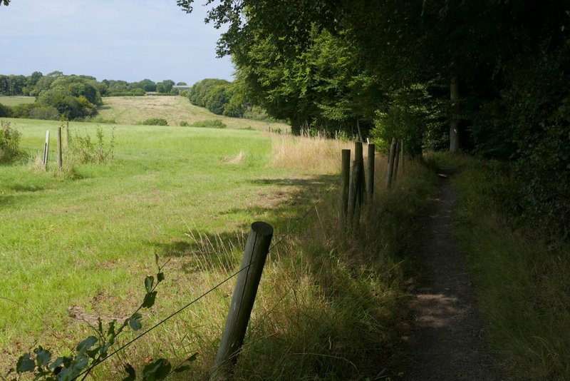
The Ridgeway after crossing another road
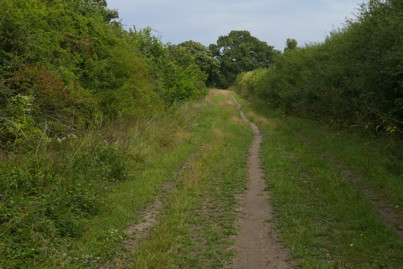
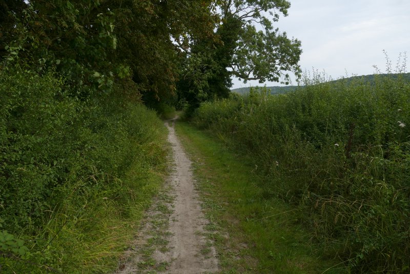
Further along the Ridgeway
Further along the Ridgeway
Further along the Ridgeway, near Crowell
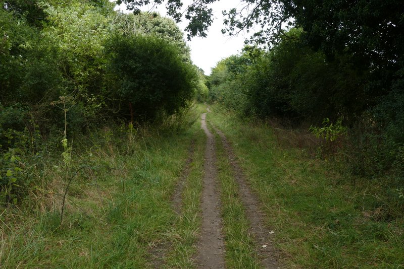
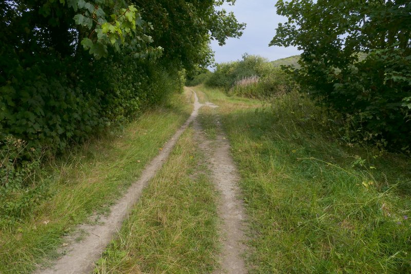
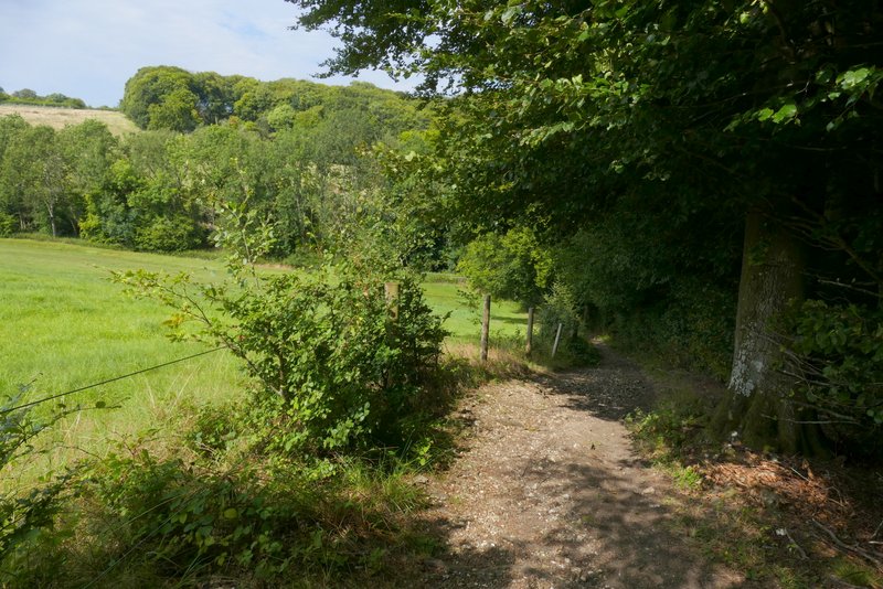
About two miles after joining the Ridgeway I came to a path crossroads (the first path junction after the road), where I turned right onto a restricted byway. This ran between hedges (or a narrow tree belt) gently uphill for a few hundred yards, then turned half-right when it reached the wooded slope of the Chiltern escarpment. The byway steepened here, and it was a long steady plod at a fairly consistent gradient up through Crowellhill Wood. I was very glad to get to the top of the slope, where the byway ended at a bend in a lane. I went more or less straight on along the lane, through the hamlet of Crowell Hill towards the adjacent hamlet of Sprig's Alley. After about half a mile, where the lane turned slightly right, I took a bridleway on the left. After passing a garden on my left, this ran beside Venus Wood on my right, dropping down into a valley with a nice view ahead of me.
The byway after I turned right from the Ridgeway near Crowell
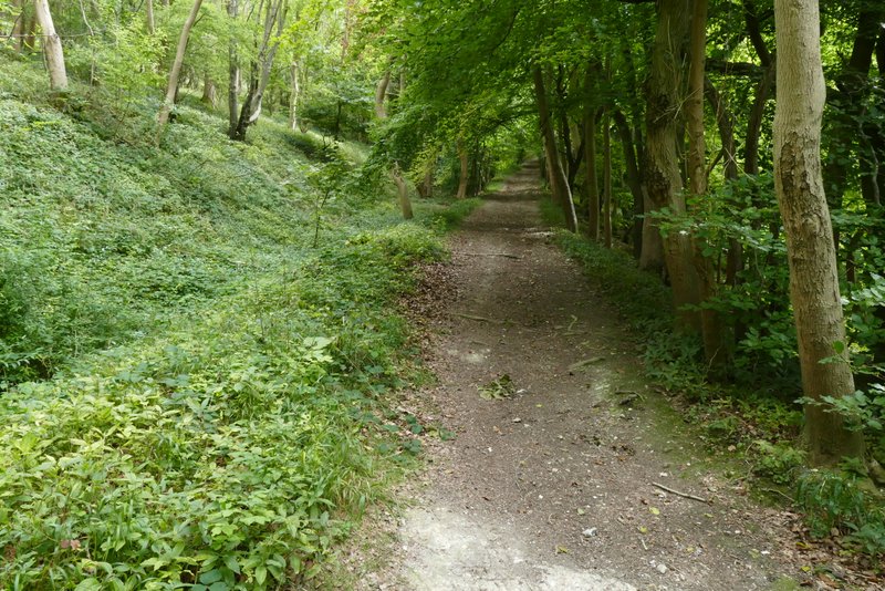
Further along the byway, heading up to Crowell Hill
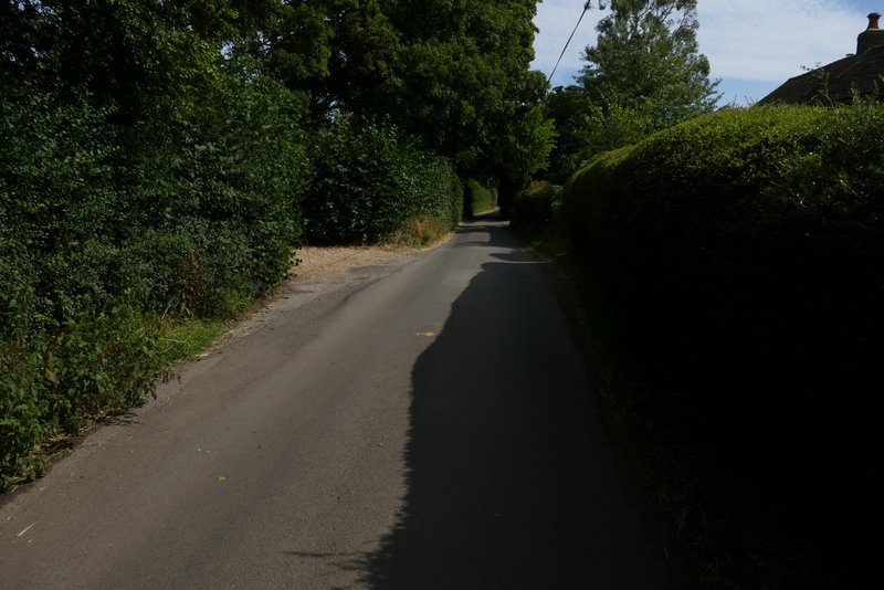
The lane through Crowell Hill
The same lane shortly after passing Crowellhill Farm
Near the start of the bridleway after I turned left from the lane
The bridleway descending past Venus Wood
The bridleway descending past Venus Wood