Pete's Walks - Bledlow Ridge and Aston Rowant (page 6 of 6)
If you are considering walking this route yourself, please see my disclaimer. You may also like to see these notes about the maps and GPX files.
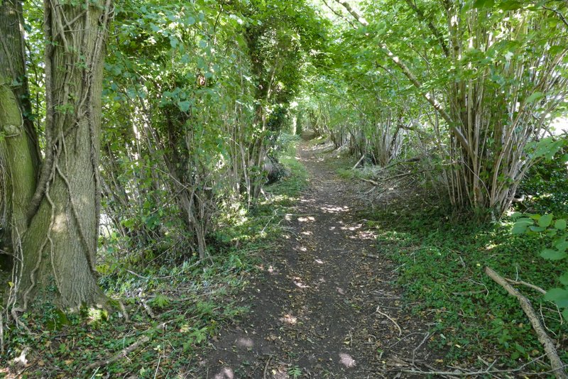
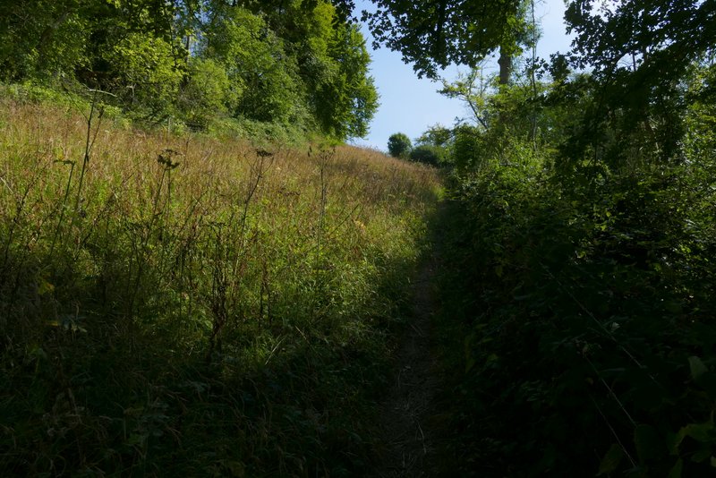
In the valley bottom I turned right along another bridleway, with Venus Wood sloping up on my right and Sunley Wood sloping up on my left. After a few hundred yards Venus Wood came to an end and I had fields nearby on my right. Somewhere along here the wood to my left became Hedgerley Wood. When that ended, the bridleway continued along the valley bottom between hedgerows, turning right, then left and then right again. Once again I was glad this section was dry, it had been pretty muddy when I came this way last winter. About three-quarters of a mile after leaving the wood the bridleway joined a drive (it looks like a lane) coming from Daws Hill Farm, continuing in the same direction. After a few hundred yards, the drive ended at a bend in a lane, where I again went straight on.
The bridleway along the valley bottom after I turned right, in Sunley Wood
The bridleway along the valley bottom in Sunley Wood
The bridleway along the valley bottom in Sunley Wood
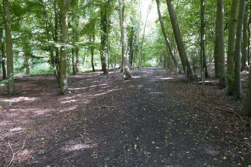
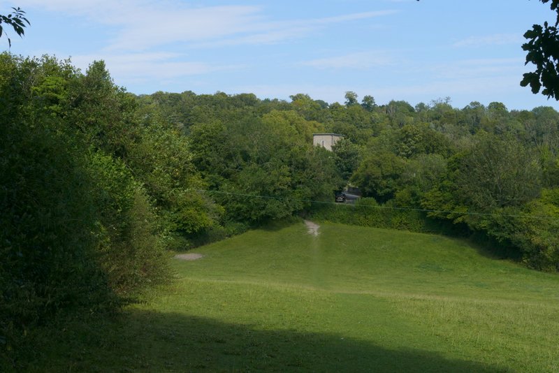
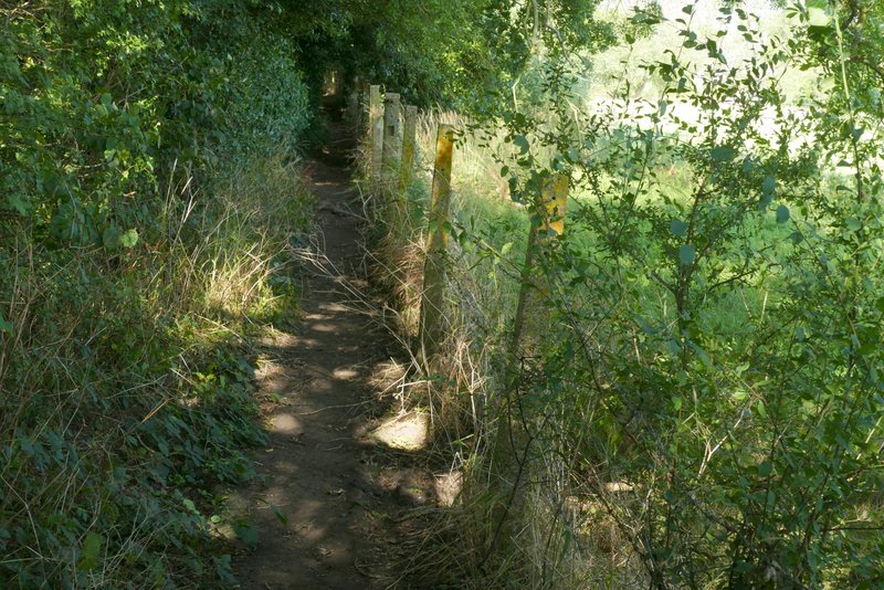
The bridleway along the valley bottom continuing from Sunley Wood
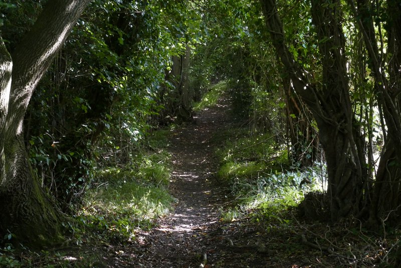
The bridleway along the valley bottom continuing towards Radnage
The bridleway along the valley bottom continuing towards Radnage
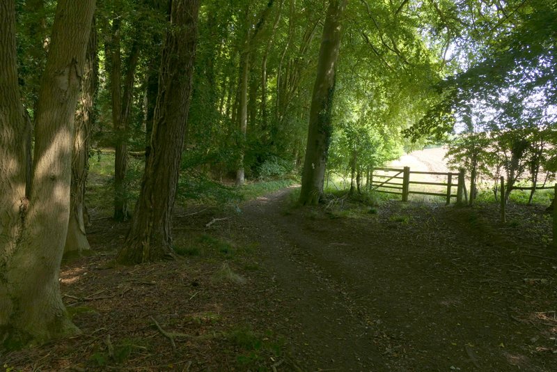
Where the bridleway joins the drive from Daws Hill Farm
Reaching the end of the drive from Daws Hill Farm
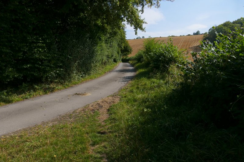
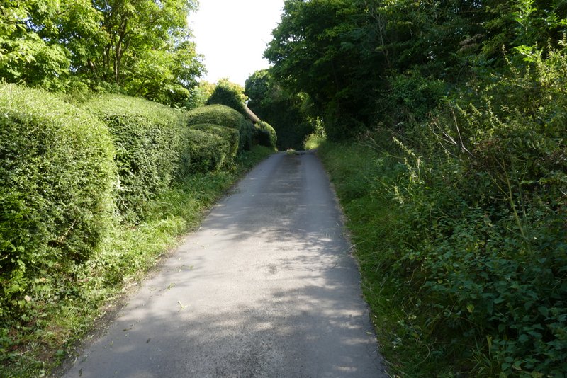
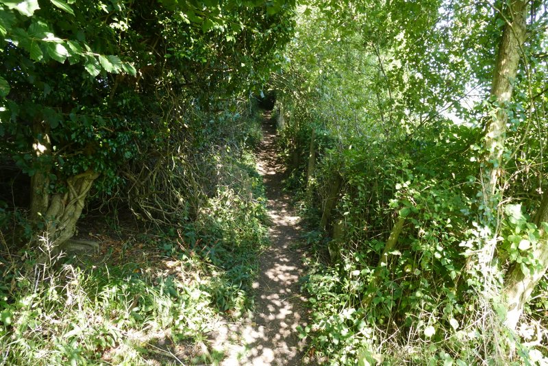
After two or three hundred yards I took a footpath on the left that crossed some grass, went over a drive, and entered an empty pasture or meadow. The path dropped gently downhill through the field, then rose (surprisingly steeply) for a few yards, before it reached a lane. Across the lane I reached Radnage church (probably my third favourite church in the Chilterns, after the ones at Little Missenden and Fingest). I followed a faint path through the churchyard, initially walking parallel to the church on my left. Beyond the churchyard, the path went half-right across an empty pasture, and then continued in the same direction across another empty pasture. After going through a gate I took the left fork at a path junction, heading uphill towards the corner of a field of rough grass - I was now heading to Yoesden nature reserve, retracing my steps from the start of the walk. Through a gate, with the main part of the nature reserve to my left, the path steepened, soon turning slightly right and then turning left as it rose up through an area of scrub with woods either side (again I was amazed by the masses of Devil's-bit Scabious here). Through a gate the path levelled off for a bit, but when it then turned left and ran between a tall hedgerow and a fence on my right, it was gently uphill for a while before levelling off. The path brought me back to the road through Bledlow Ridge, where I turned right and made my way back to my parked car.
The path to Radnage church
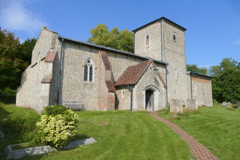
Radnage church
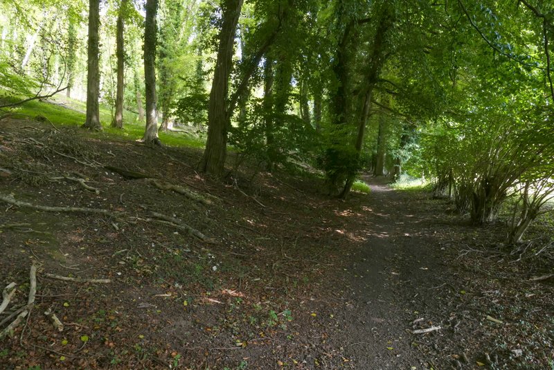
The path from Radnage church
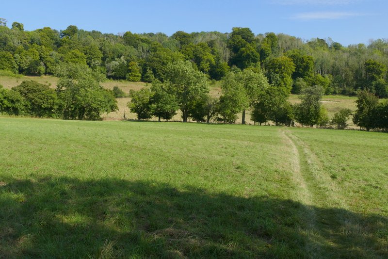
The path from Radnage church, heading back to the Yoesden nature reserve
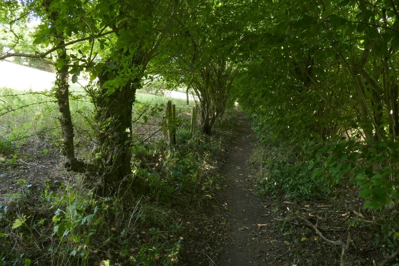
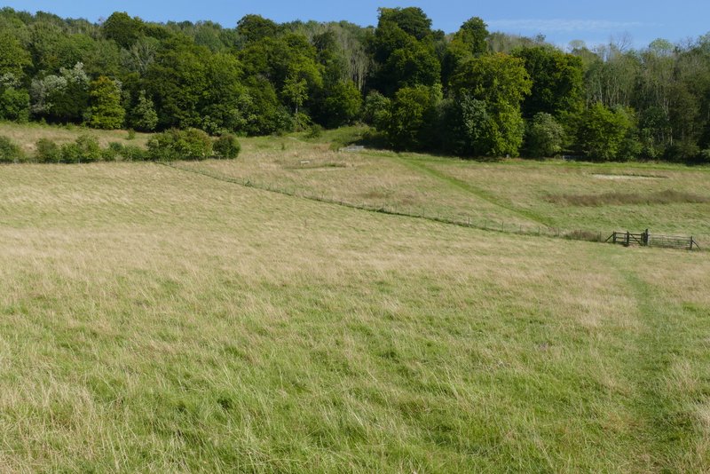
The path from Yoesden nature reserve to Bledlow Ridge (I'd come down this path at the start of the walk)
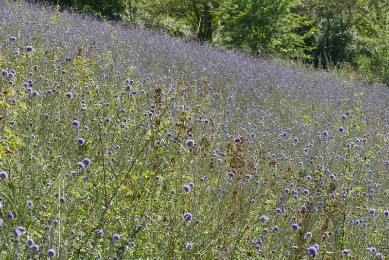
Masses of Devil's-bit Scabious
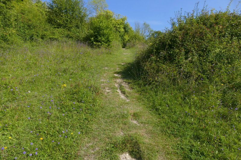
The path from Yoesden nature reserve to Bledlow Ridge
The path from Yoesden nature reserve to Bledlow Ridge
The path from Yoesden nature reserve to Bledlow Ridge
I was well and truly 'cream-crackered' when I got back to my car. I'd been walking for about five and a half hours, an hour longer than I intended, and I'm just not fit enough to do that at the moment. Nevertheless I'd loved the walk - after a slightly grey and windy start the day had turned quite sunny, but was never too warm and so was an ideal day for a long walk. The section through Stokenchurch wasn't pleasant (which is why I'd not done it before) but it didn't last too long and the rest of the route was very good, with the usual mixture of field paths and woods and with several fine views to be had. The path through the Aston Rowant nature reserve was wonderful - if it wasn't for the constant noise from the M40 motorway, I'd add it to my list of favourite paths in the Chilterns (at least going downhill!). Incidentally it was the construction of the M40 that led to the foundation of the Chiltern Society, which does much to preserve and protect the character of the region.