Pete's Walks - Coombe Hill, Cobblershill, Dunsmore (page 3 of 4)
If you are considering walking this route yourself, please see my disclaimer. You may also like to see these notes about the maps and GPX files.
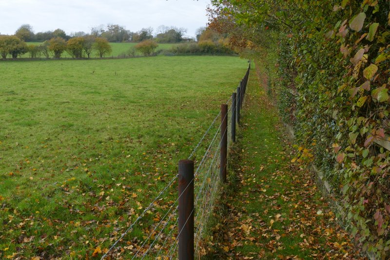
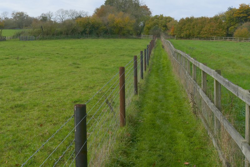
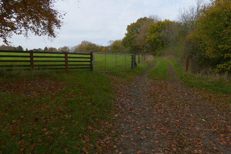
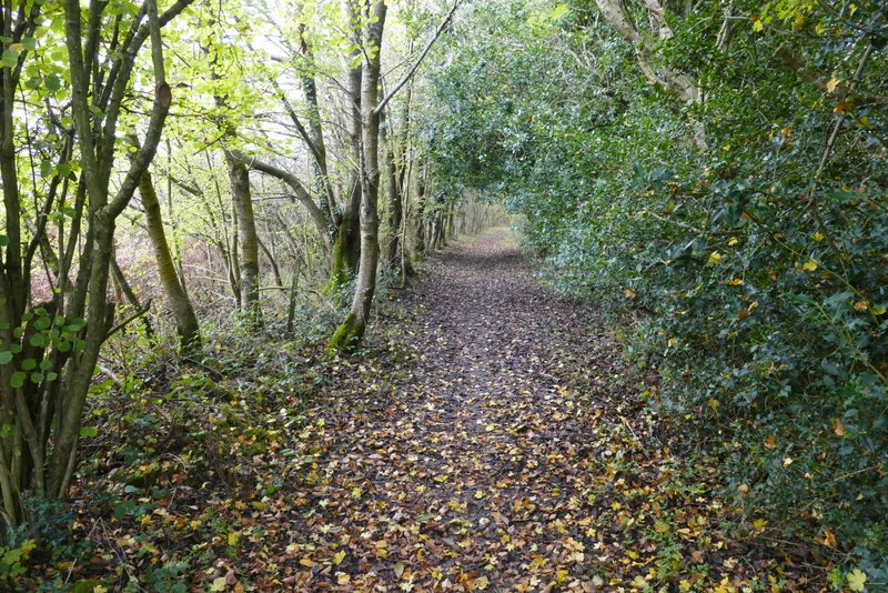
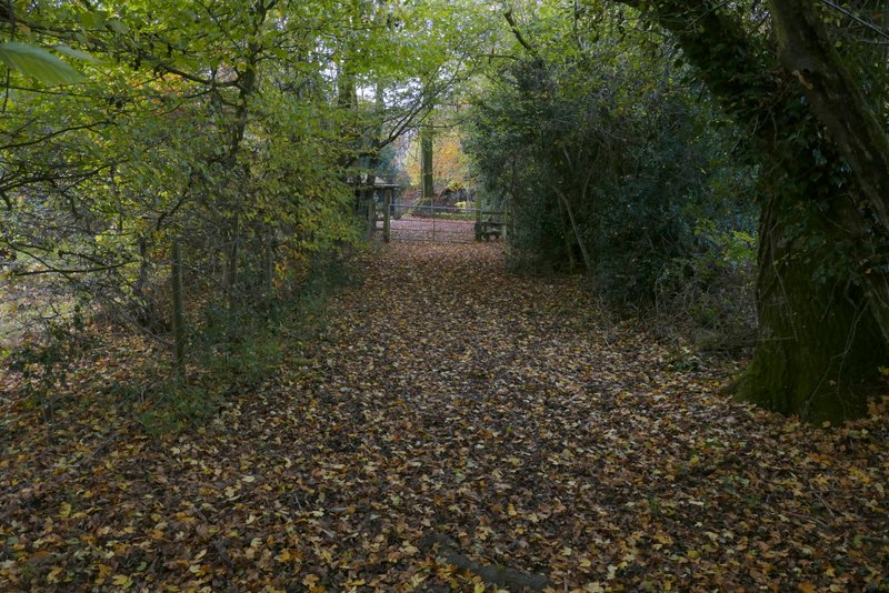
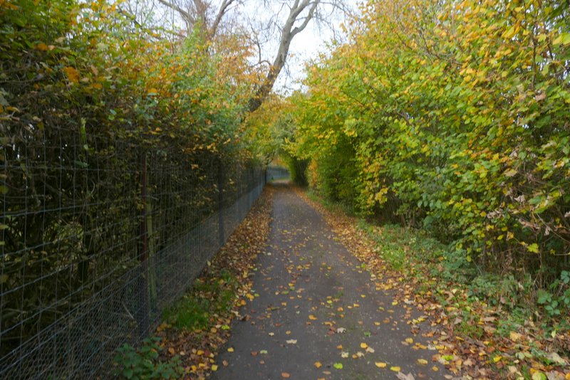
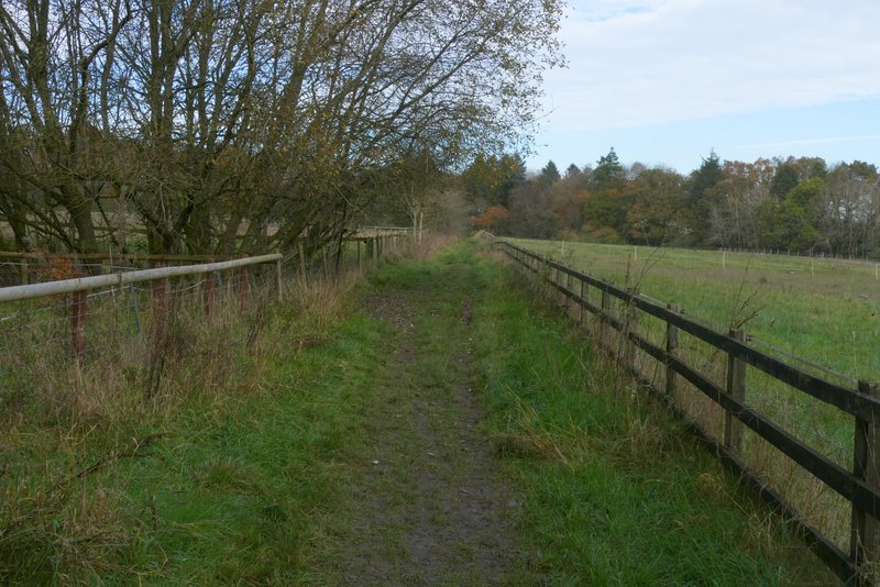
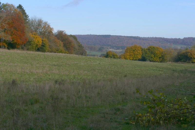
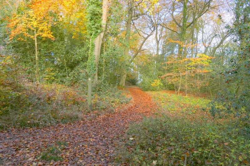
I turned right and followed the lane for about a quarter of a mile, to where footpaths went off on both sides. I turned left, and followed a path going gently uphill with a tall hedge on the right and a fence on the left. Where the hedge ended (and a path went right) I continued straight on between fences each side (I'd only been this way once before, many years ago). After the fences ended I continued straight on along a farm track, still gently rising uphill. Near the top of the hillside I passed a pond (with a ring of trees around it) on my left. After another few hundred yards the track turned left, but the footpath went straight on over a stile. The path immediately turned left and ran between overhanging hedgerows for a few hundred yards until it met a crossing bridleway by an isolated cottage. I turned right along the bridleway (the drive from the cottage) and soon reached the hamlet of Dunsmore.
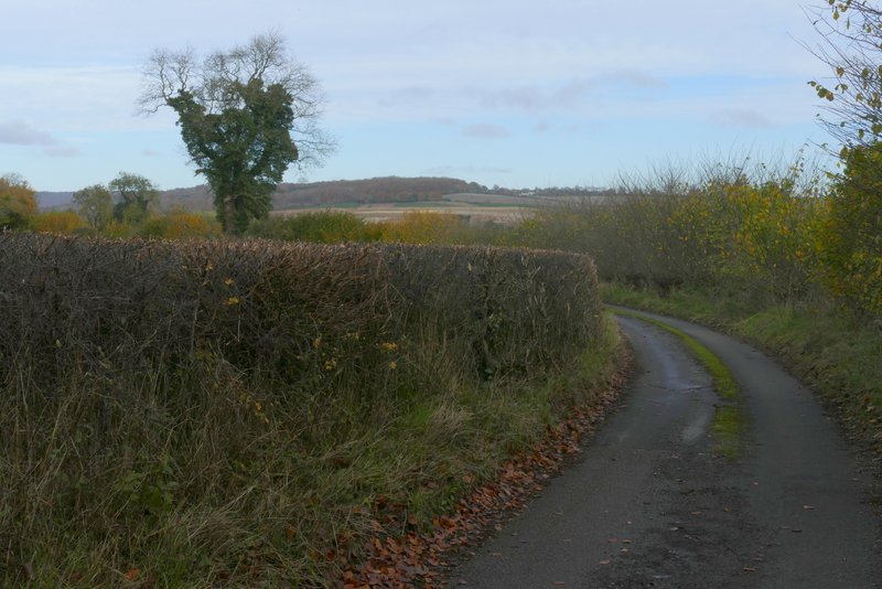
Cobblershill Lane, after I turned right
Near the start of the path from Cobblershill Lane
The path from Cobblershill Lane
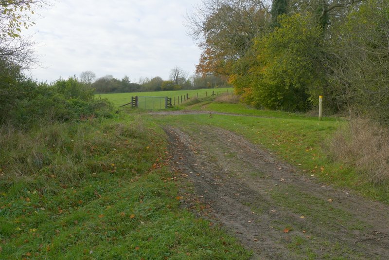
The path from Cobblershill Lane, after it joins a farm track (a path from Russell Farm comes in on the right here)
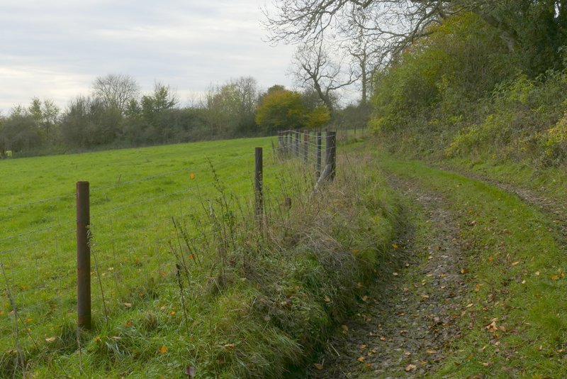
The path from Cobblershill Lane
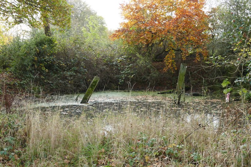
A pond beside the path from Cobblershill Lane
The path from Cobblershill Lane
The path from Cobblershill Lane, after I went over a stile
Approaching the end of the path from Cobblershill Lane
The drive heading to Dunsmore, after I turned right
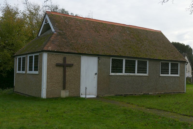
Dunsmore church
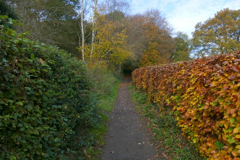
I went straight on at the crossroads in the centre of the hamlet, near the church and village pond, and when the lane ended continued ahead along a bridleway. I quickly reached a fork in the bridleway, where I took the right fork (I usually take the left fork, which would have been a direct way back to Coombe Hill). This bridleway ran between fences with paddocks either side, then entered a wood where it turned half-right and started a gentle descent. I went straight on where a footpath forked left (the way I usually go), the bridleway continuing to slowly go down through the wood. A footpath came in on the right just before I reached the end of the wood, then a short way further on I took a footpath going left. This rose uphill across a meadow (with a view towards part of Wendover Woods to the right) to reach Coxgrove Wood (the previous wood may possibly have also been part of the same wood). I soon came to a path junction (with the path that forked left that I usually take), where I went more or less straight on.
The bridleway from Dunsmore
The bridleway from Dunsmore, after I took a right fork
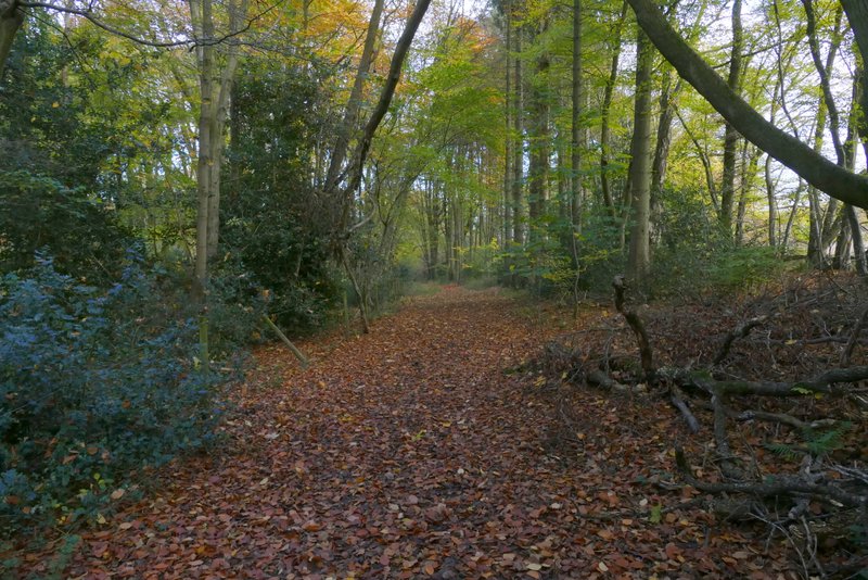
The bridleway from Dunsmore
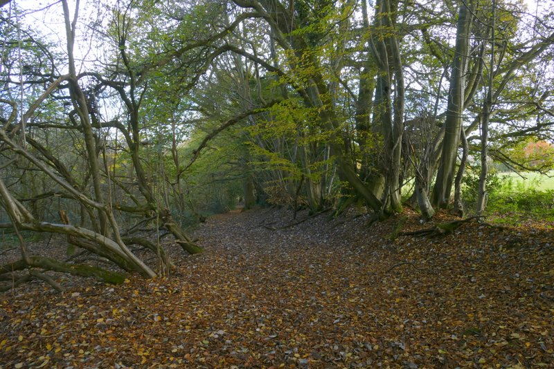
The bridleway from Dunsmore
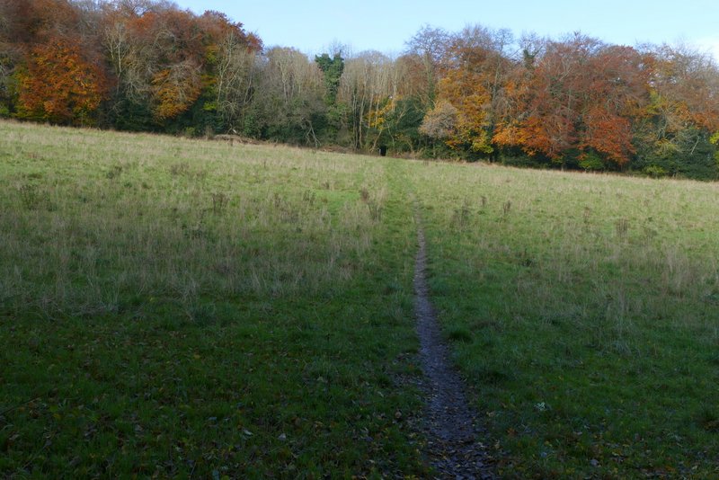
The path after I turned left from the bridleway from Dunsmore, heading to Coxgrove Wood
View right, towards Wendover Woods (Coxgrove Wood is on the left)
The path through Coxgrove Wood