Pete's Walks- Coombe Hill, Cobblershill, Dunsmore (page 4 of 4)
If you are considering walking this route yourself, please see my disclaimer. You may also like to see these notes about the maps and GPX files.
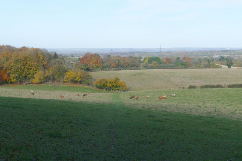
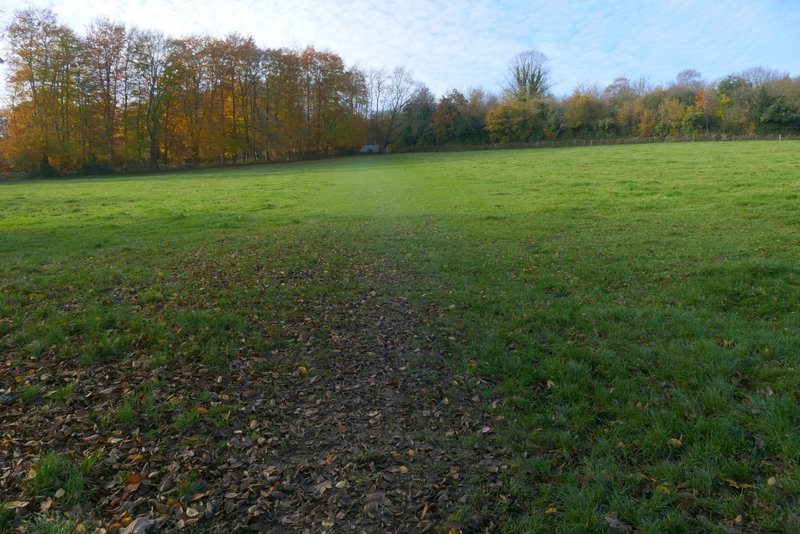
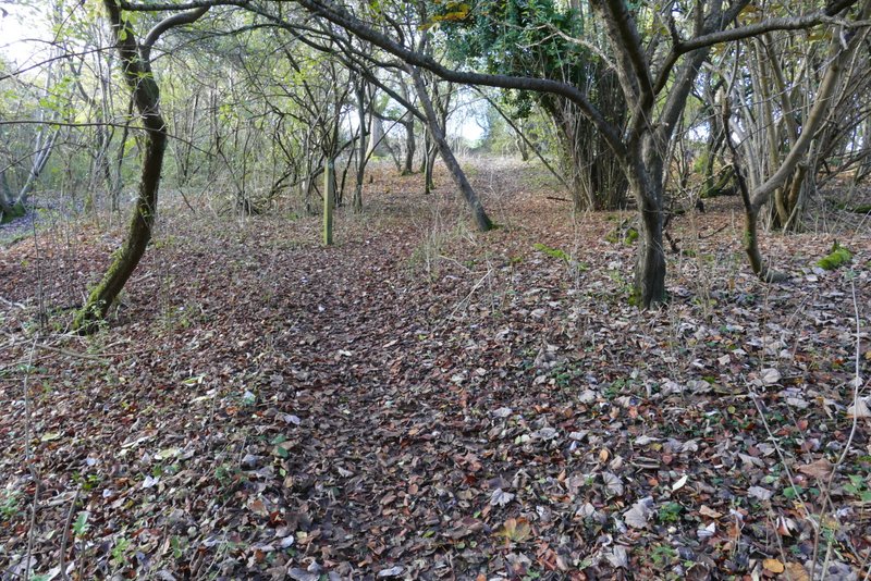
Beyond the wood the path descended easily across a huge cattle pasture - there was a nice view ahead towards the Vale of Aylesbury, but I couldn't appreciate it as I was keeping a wary eye out for the numerous cows that were close to the path. In the next field, the path went uphill across a corner, this being slightly steeper and longer than I remembered (nothing new there!). I was then back on my usual route in or out of Bacombe, the path running between fences with paddocks either side, then through a narrow tree belt between gardens to reach Bacombe Lane. I turned left along the lane, until after two or three hundred yards there was a footpath on the right. This rose uphill across a cow pasture (there were four or five small black cows at the top of the slope but away to my right). After a steady slog to the gate in the top left corner, I crossed a bridleway and continued uphill through trees and bushes. I kept right at a fork in the path and soon emerged onto a grassy area, where I quickly reached the top by a tumulus (ancient burial mound). There were fine views, either over Wendover to Wendover Woods or out over the Vale of Aylesbury.
The path descending from Coxgrove Wood
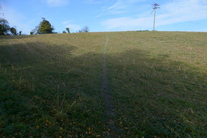
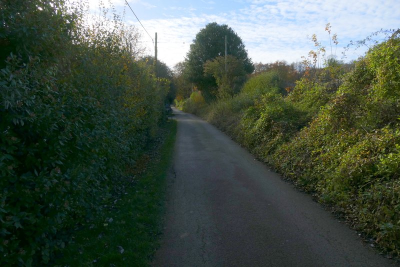
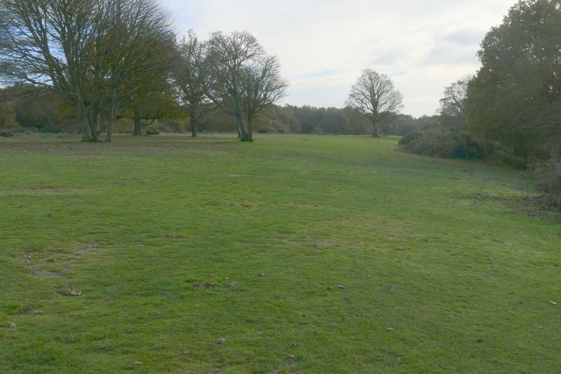
The path continuing towards Bacombe
The path continuing towards Bacombe
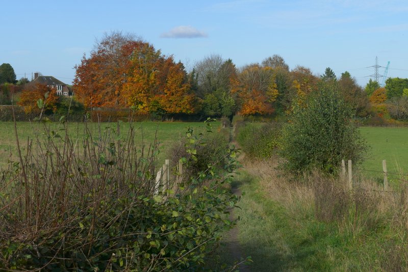
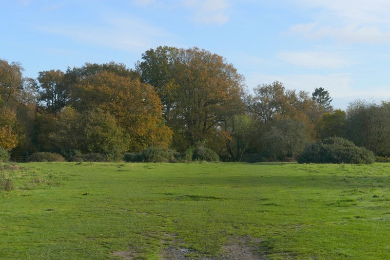
The path as it reaches Bacombe
Bacombe Lane, after I turned right at the end of the path
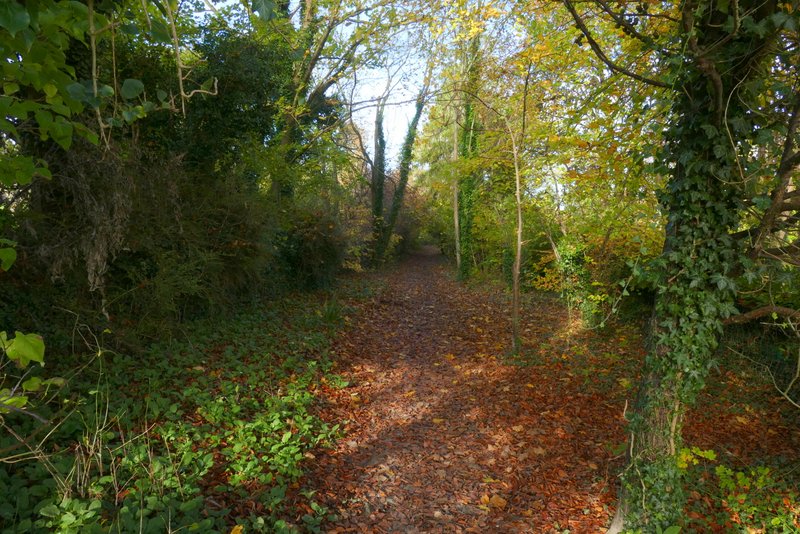
The path after I turned right from Bacombe Lane
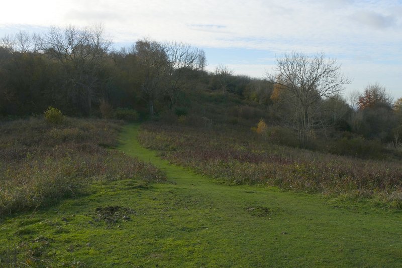
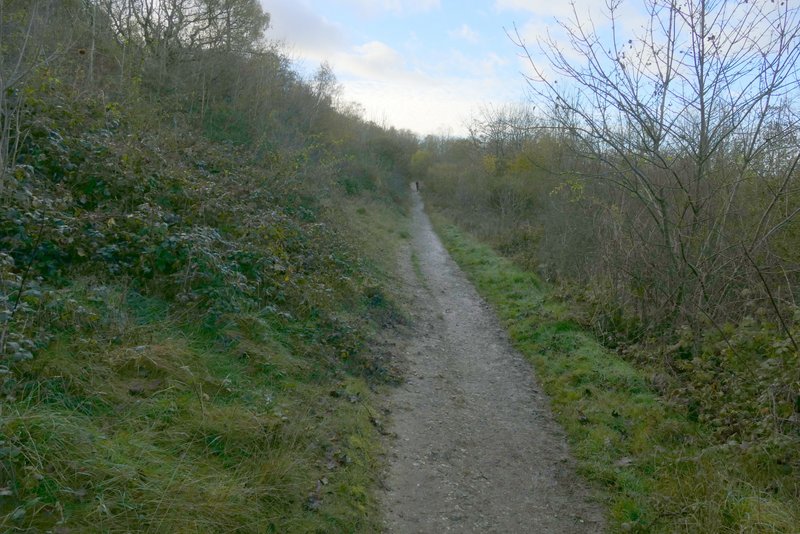
The path continuing up Bacombe Hill (just before I took a right fork)
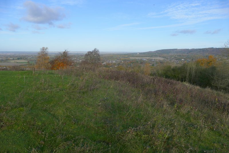
View towards Wendover and Wendover Woods, from the tumulus on Bacombe Hill
I turned left and followed a path over Bacombe Hill, initially slightly uphill. After a while, I could see the Ridgeway a little way to my right, and there were more views out over the Vale of Aylesbury. Shortly before my path merged with the Ridgeway I sat on a seat between the two paths to eat my lunch and admire the views. Continuing on my way, I went straight on when my path met the Ridgeway, and followed the national trail for almost half a mile to reach the Boer War monument on Coombe Hill. Departing from the Ridgeway, I turned left and followed a broad belt of grass, then went through a tree belt and continued across another grassy area to return to the Coombe Hill car park.
The path on Bacombe Hill
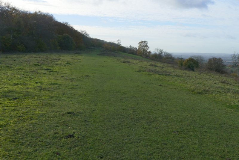
The path on Bacombe Hill
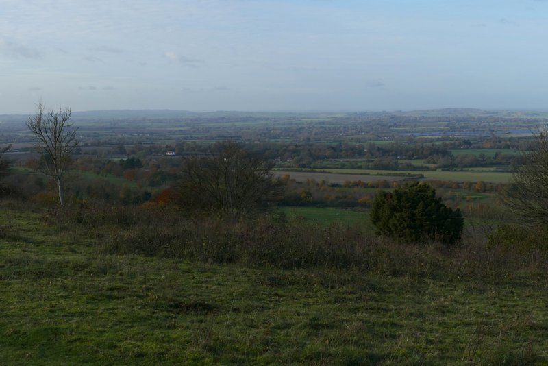
The Vale of Aylesbury, from Bacombe Hill
The Vale of Aylesbury, from Bacombe Hill
The Ridgeway (again), now on Coombe Hill
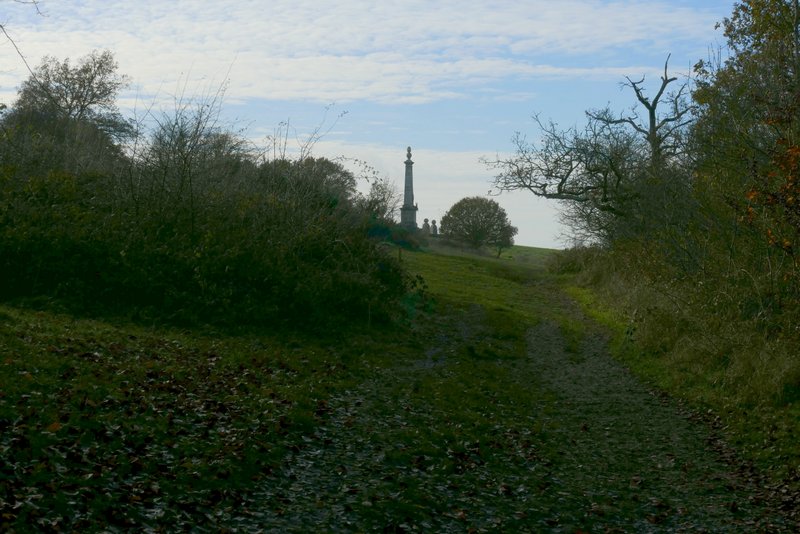
The Ridgeway approaching the Boer War monument on Coombe Hill
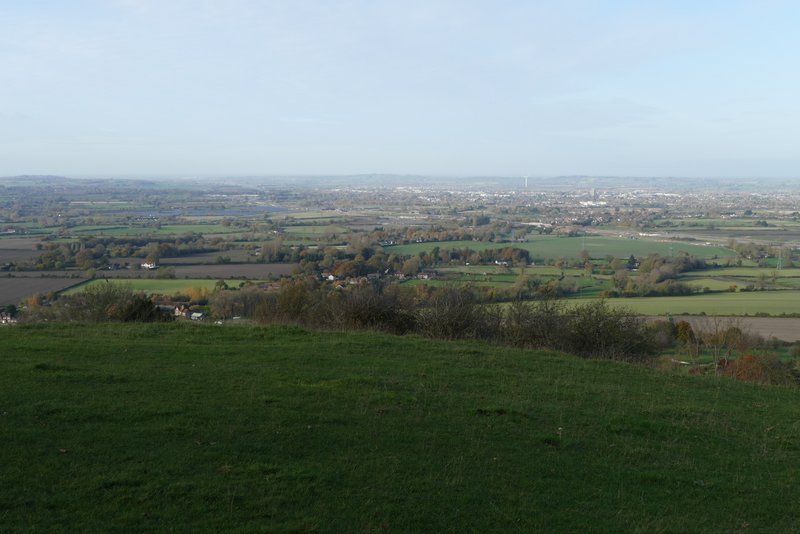
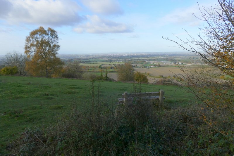
The Vale of Aylesbury from Coombe Hill
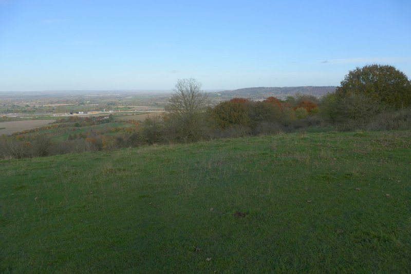
Wendover Woods from Coombe Hill
The way from the monument on Coombe Hill back to the car park
Approaching the Coombe Hill car park
This was a really nice walk, though I have to say that the wonderful weather and the autumn colours meant I experienced the route almost at its best. Considering how many walks I have done in this part of the Chilterns (definitely one of my favourite parts!), I was pleased to be able to include a few paths that I wasn't too familiar with. There was a lot of woodland walking, but I think there were enough sections of field paths to prevent the woods from becoming monotonous. When outside the woods there were plenty of fine views, and the paths over Bacombe Hill and Coombe Hill (with their extensive views over the Vale of Aylesbury) are always a fine way to end a walk.