Pete's Walks - Bledlow Ridge, Stokenchurch, Sprig's Alley (page 5 of 5)
If you are considering walking this route yourself, please see my disclaimer. You may also like to see these notes about the maps and GPX files.
At some point the wood on my left became Hedgerley Wood. When it ended, the bridleway continued along the valley bottom between hedgerows, turning right, then left and then right again. About three-quarters of a mile after leaving the wood the bridleway joined a drive (it looks like a lane) coming from Daws Hill Farm, continuing in the same direction. After a few hundred yards, the drive ended at a bend in a lane, where I again went straight on.
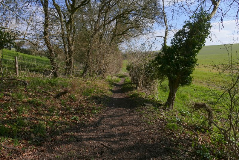
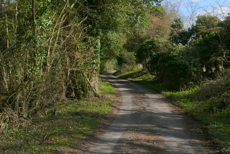
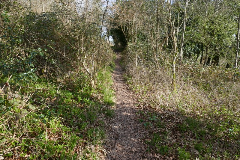
Further along the bridleway, from where it leaves the wood
Further along the bridleway
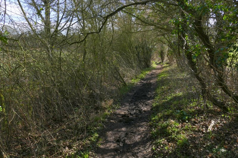
Further along the bridleway
Further along the bridleway
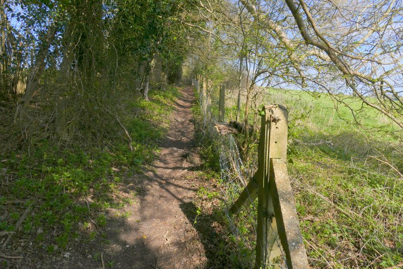
The drive from Daws Hill Farm
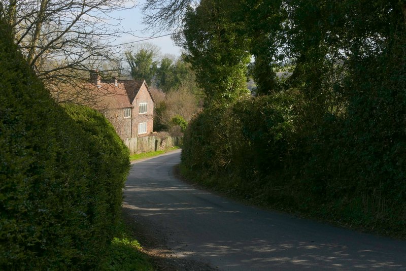
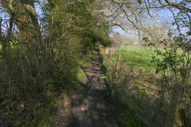
The short lane section in Radnage
After two or three hundred yards I took a footpath on the left that crossed some grass, went over a drive, and entered an empty pasture or meadow (the stile here had lost its steps, I had to go under the rails in the fence). The path dropped gently downhill through the field, then rose for a very short distance, before it reached a lane. Across the lane I reached Radnage church (probably my third favourite church in the Chilterns, after the ones at Little Missenden and Fingest). I followed a faint path through the churchyard, initially walking parallel to the church on my left. Beyond the churchyard, the path went half-right across an empty pasture, and then continued in the same direction across another empty pasture. After going through a gate I took the left fork at a path junction, heading uphill towards the corner of a field of rough grass.
View back from near Radnage church
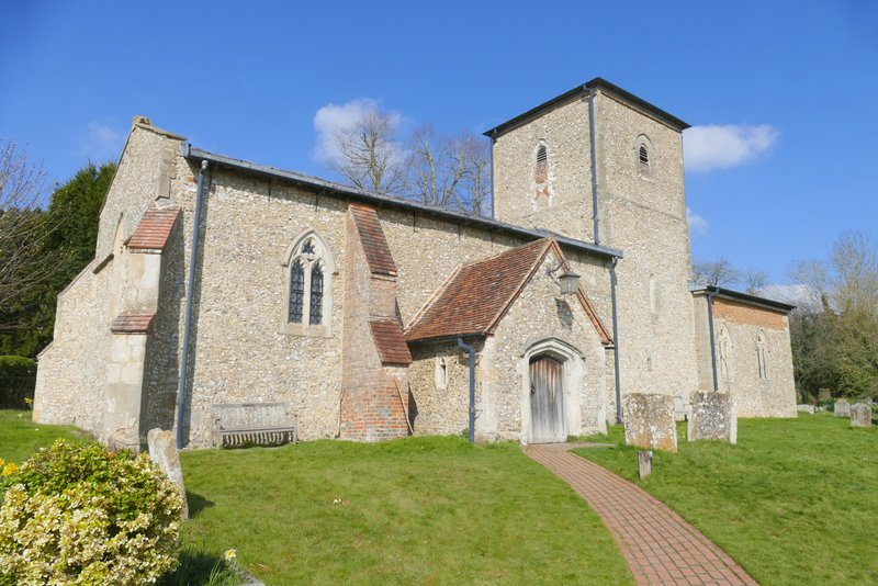
Radnage church - this church is unusual because the tower is in the centre and because the tower is narrower than both the nave and chancel (you can't really tell from this photo that its narrower than the nave)
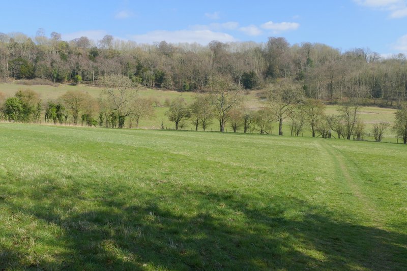
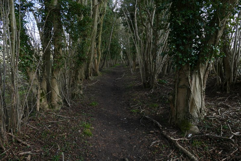
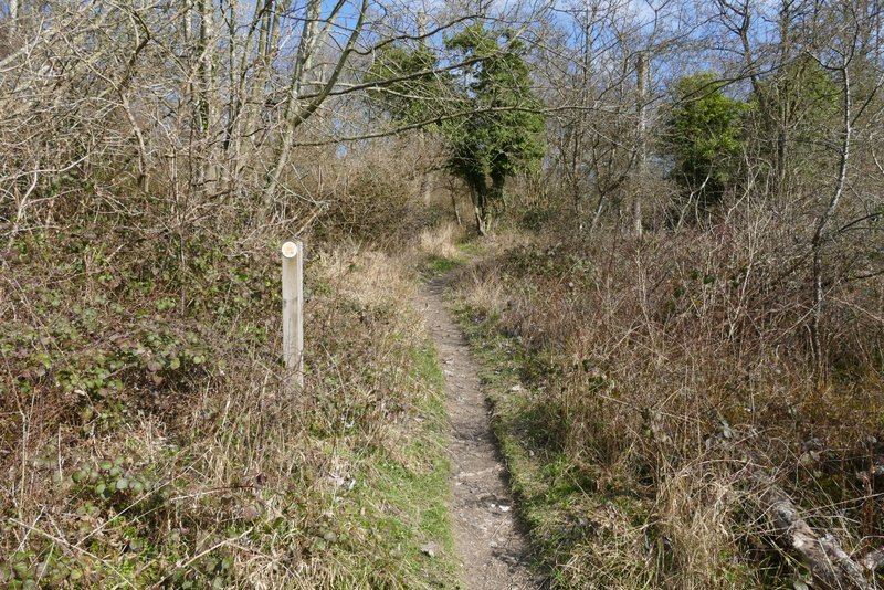
The path from Radnage church to Bledlow Ridge
The path from Radnage church to Bledlow Ridge
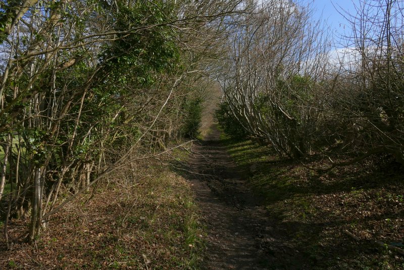
The path from Radnage church to Bledlow Ridge
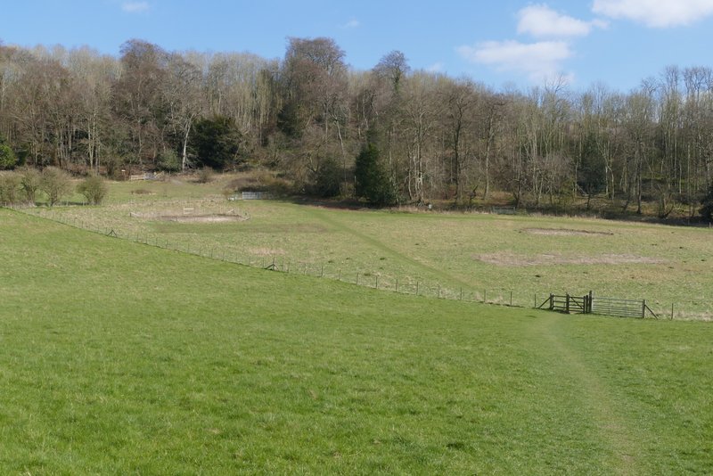
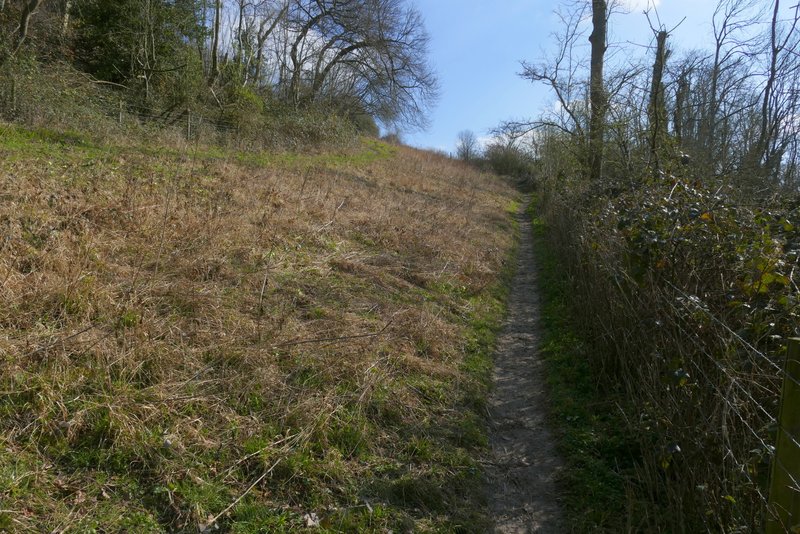
Through a gate, with the main part of Yoesden Bank nature reserve to my left, the path steepened, soon turning slightly right and then turning left as it rose up through an area of scrub with woods either side. Through a gate the path levelled off for a bit, but when it then turned left and ran between a tall hedgerow and a fence on my right, it was gently uphill for a while. I was relieved that this section of the path wasn't very muddy, as I know it can get really bad. The path brought me back to the road through Bledlow Ridge, where I turned right and made my way back to my parked car.
The path from Radnage church to Bledlow Ridge
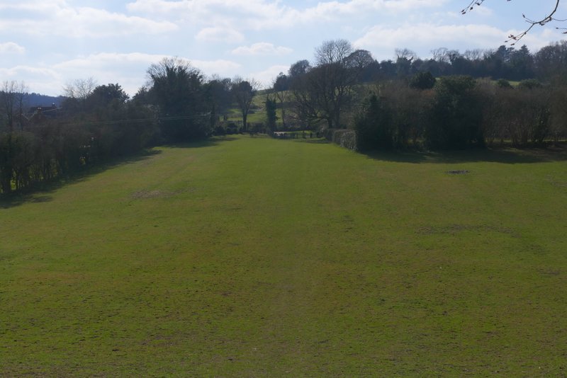
The main part of Yoesden Bank nature reserve

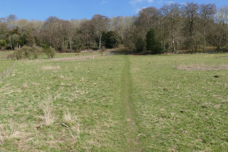
The path from Radnage church to Bledlow Ridge
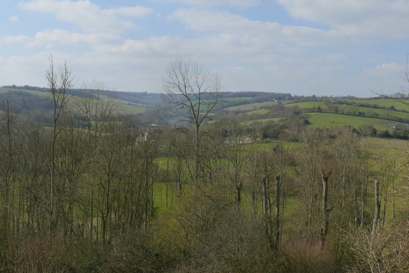
View back from the path from Radnage church to Bledlow Ridge
The path from Radnage church to Bledlow Ridge
The path from Radnage church to Bledlow Ridge
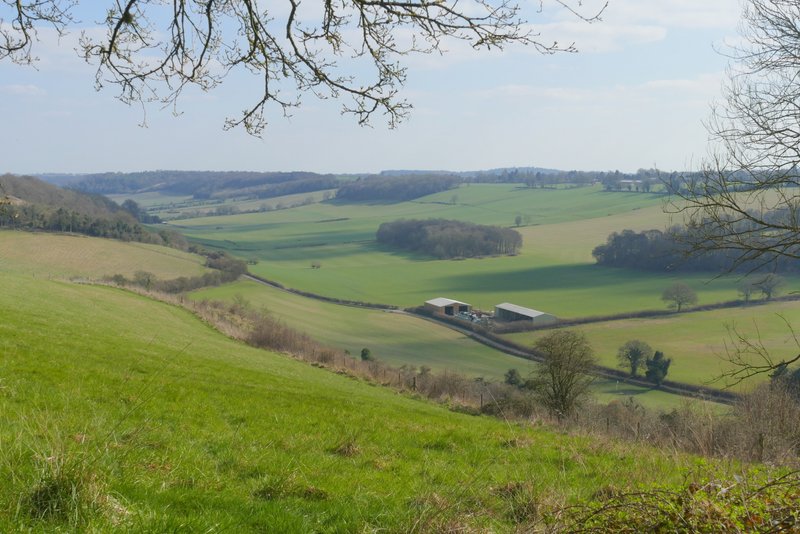
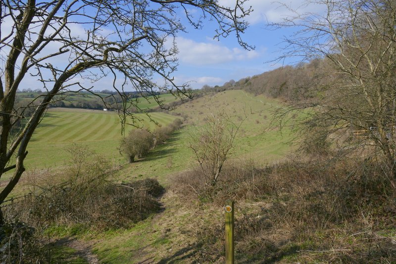
View right over the valley southwest of Bledlow Ridge (my outward route crosses from left to right in the middle of the shot)
The path from Radnage church to Bledlow Ridge
The path from Radnage church to Bledlow Ridge
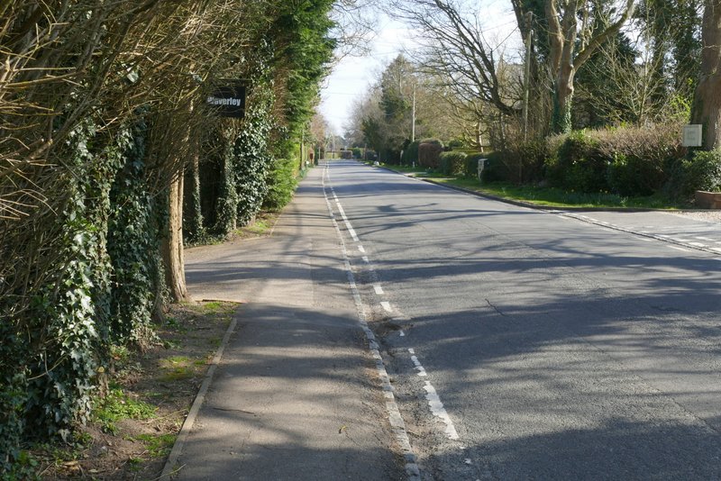
The road through Bledlow Ridge
I think I enjoyed this route more than when I walked it in February 2024. The lengthy road walk through Radnage seemed to pass quicker, and on the long path towards Stokenchurch the noise from the M40 seemed far less intrusive than I remembered. The route from Pophley's Wood onwards was fine, with many ups and downs and lots of woodland walking (delightful on a fine day like this at this time of year). I think I've now walked the long bridleway back to Radnage, followed by the path back up to Bledlow Ridge, four times in the last year or so - I still enjoyed this section of the route, though I wouldn't want to walk it again too soon! Overall, I don't think this is one of my better routes, but I'd be happy to do it again.