Pete's Walks - Ashridge and Frithsden (page 1 of 2)
If you are considering walking this route yourself, please see my disclaimer. You may also like to see these notes about the maps and GPX files.
I did this roughly 8.3 mile circular walk on Saturday, 18th October 2025. It was a repeat of a walk I did in July 2013
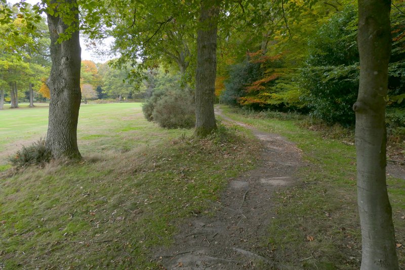
I parked in the car park off the B4506 just south of Ringshall. Across the road a permissive path led eastwards through a narrow belt of trees, between gardens on the left and part of the Ashridge golf course on the right. This path is on the route of the Ashridge Estate Boundary Trail, which I would follow for most of this walk (it is indicated by white waymarks showing a broad green arrowhead with a white footprint on it). After a few hundred yards the path turned more to the south-east and soon there were woods either side of me. A little further on the path crossed a drive to Ashridge House, and after following the drive to the right a short way, then continued along the bottom of a small grassy valley with woods along the top of the slopes either side. This is named Golden Valley on the OS map.
The permissive path heading east, next to part of Ashridge golf course
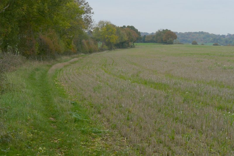
The permissive path, now heading southeast
The permissive path, now heading southeast
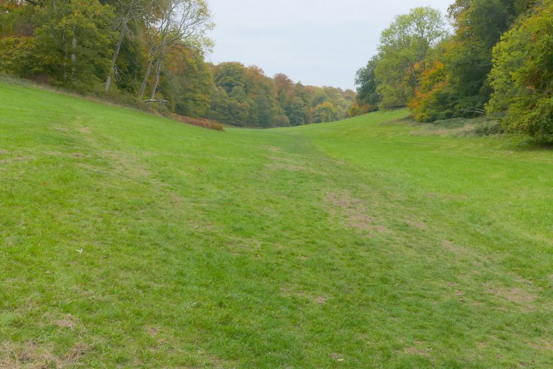
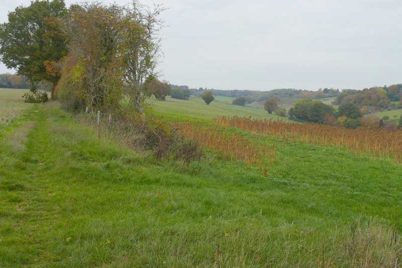
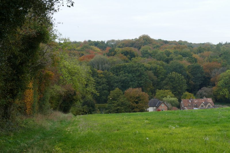
Golden Valley
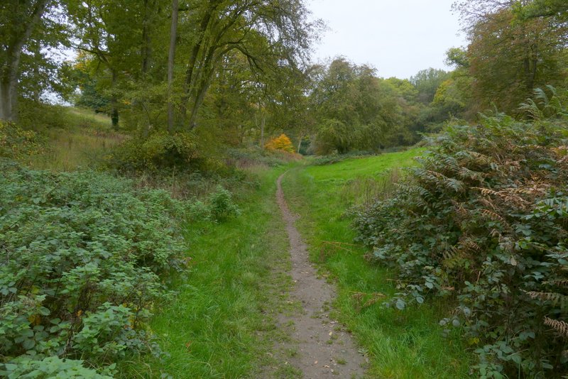
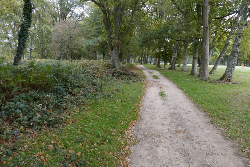
I followed the valley to reach a crossing fence and a stile. The wood receded on my right here, and as I continued along the valley in a large empty cattle pasture, I passed the end of the wood on my left. On eventually reaching another crossing fence, I turned right and followed the fence uphill. At the top of the slope the fence turned left, and I also turned left, gradually moving slightly away from the fence as I headed towards a small wood.
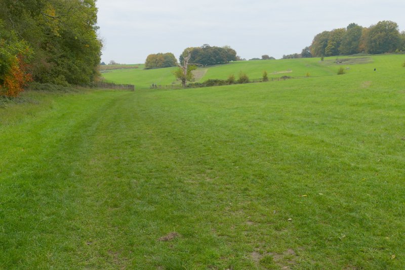
Golden Valley
Golden Valley
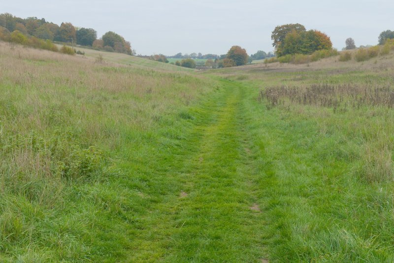
The path going southwest up the side of Golden Valley
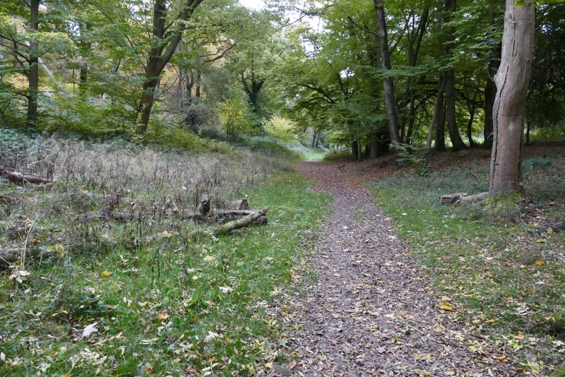
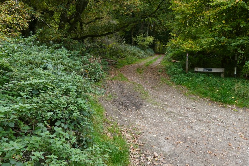
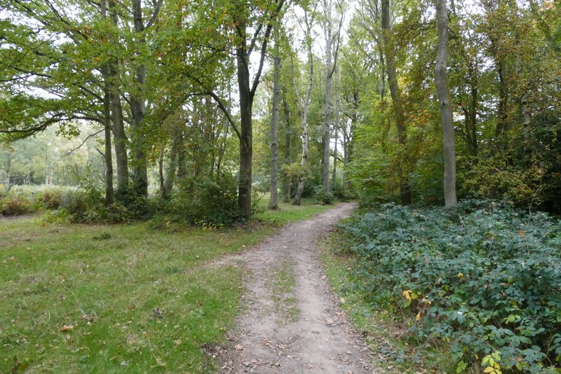
A clear path continued through the small wood (which I think is called Webb's Copse), then followed a lengthy hedgerow on my left. There were occasional gaps in the hedge giving views of the Golden Valley as it approached Nettleden. The path then crossed part of a large grassy meadow (the path really goes round the edges, but as usual there was a clear path going straight across). On reaching a parking area by some farm or stable buildings, I went through a gate and then took a footpath going right (starting through another pedestrian gate), which was soon following a left-hand hedge downhill to part of the village of Frithsden. As I took a photo here I heard an unusual bird sound, and correctly guessed it was from some Ring-necked Parakeets. I saw two of them fly off and land at the top of a tree about a hundred yards away, and I managed to get a photo.
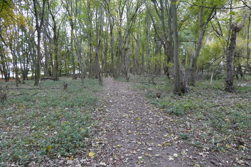
The small wood (Webb's Copse?)
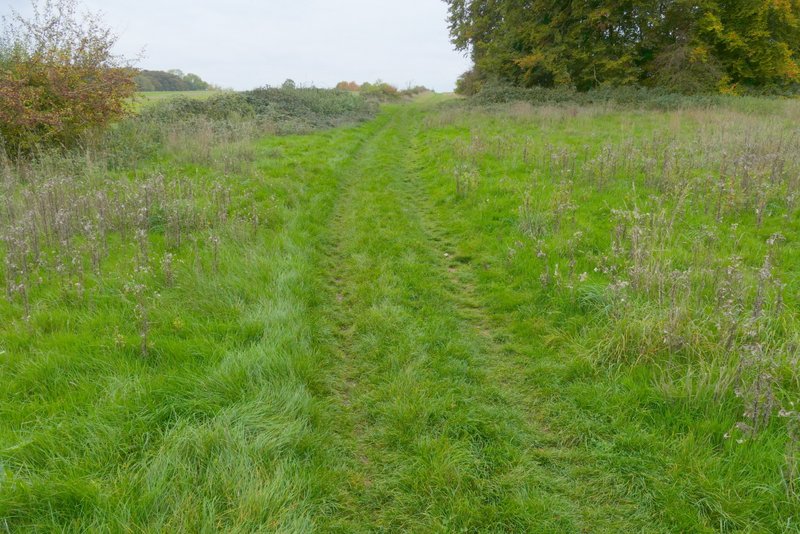
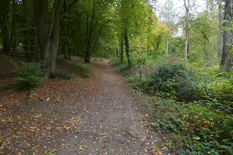
The path continuing beyond the small wood
View back along Golden Valley
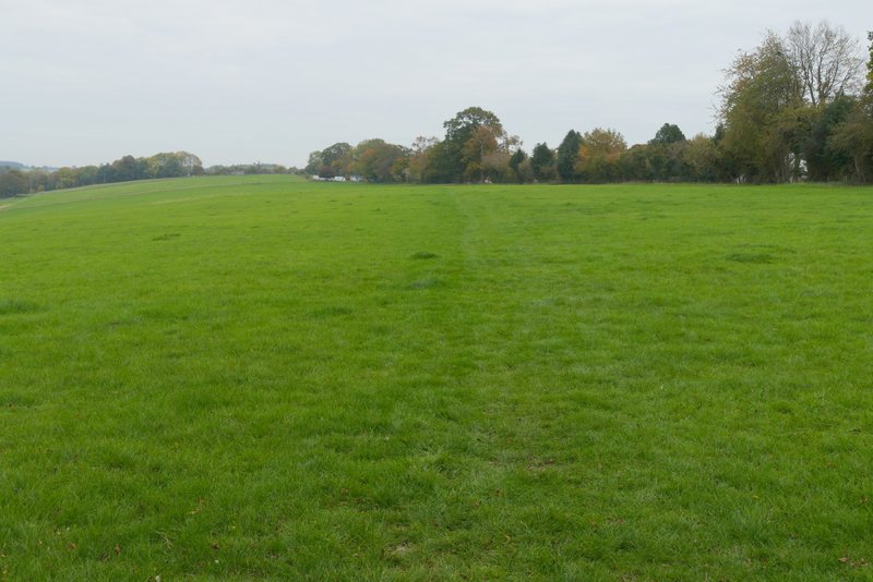
The path continuing across a large meadow
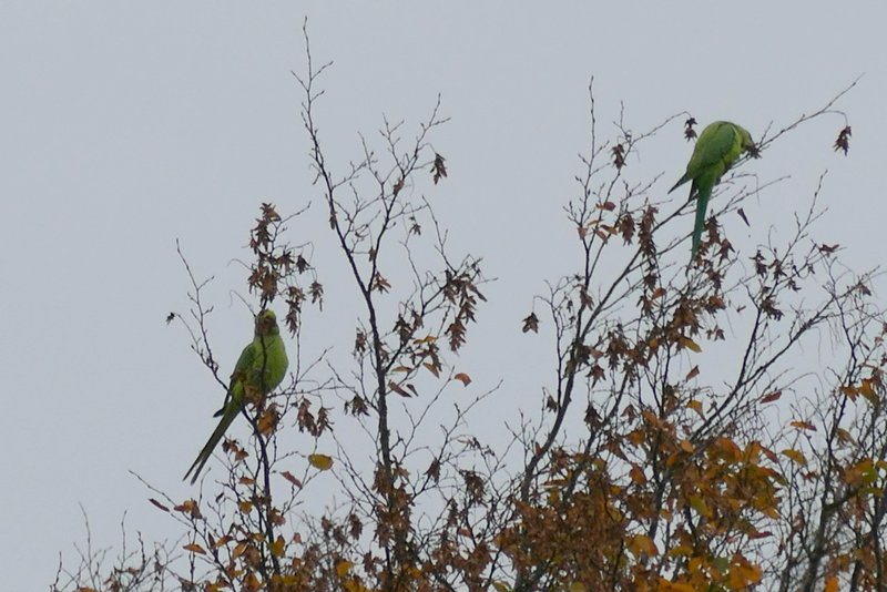
Ring-necked Parakeets - not a great photo, but the first one I've managed to get of these colourful birds
The footpath descending down to Frithsden
I went a few yards right along the road here, then took a footpath on the other side that went gently uphill through the trees of Great Frithsden Copse. On leaving the wood the path continued between wooden garden fences, to reach another road in Frithsden (or it may actually be part of Potten End, I'm not sure). The path carried on the other side to emerge on part of Berkhamsted golf course, where I turned right onto a bridleway. This was soon running through trees with the fairways just to my left. I crossed another road, then the bridleway went half-right across a fairway and continued through a wide belt of trees with fairways either side.
The start of the path through Great Frithsden Copse
The path through Great Frithsden Copse
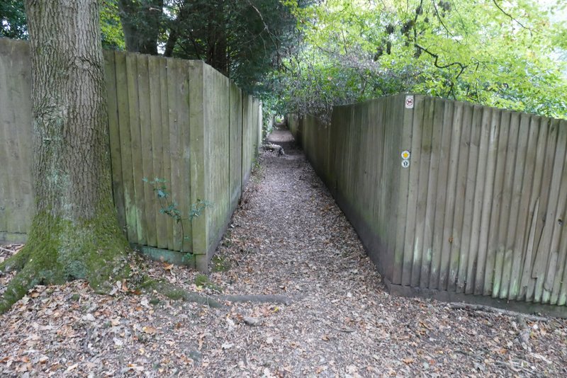
The same path continuing from Great Frithsden Copse
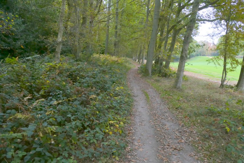
The bridleway beside Berkhamsted golf course
The bridleway continuing through another part of Berkhamsted Golf Course
The bridleway continuing through the golf course