Pete's Walks- Ashridge and Frithsden (page 2 of 2)
Beyond the golf course I went straight on at a bridleway junction. I passed Brickkiln Cottage on my left, and then had a large open meadow near by on my right. I next passed Coldharbour Farm on my left, where I continued straight on along a surfaced drive (it was here that I finally departed from the route of the Ashridge Estate Boundary Trail). I soon came to a waymark post where I took a path forking half-right into the trees of Berkhamstead Common. This started as a fairly narrow path but gradually widened to become a sizable grassy track through the woods. I followed it for about three quarters of a mile, to reach another parking place off the B45406 (about a mile and a quarter south of where I'd parked).
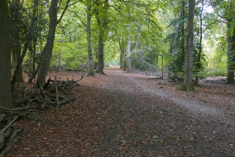
The bridleway continuing towards Brickkiln Cottage
The bridleway continuing towards Coldharbour Farm
The bridleway continuing towards Coldharbour Farm
The drive just after Coldharbour Farm (I forked right from it in the centre of this shot)
The footpath just beyond Coldharbour Farm
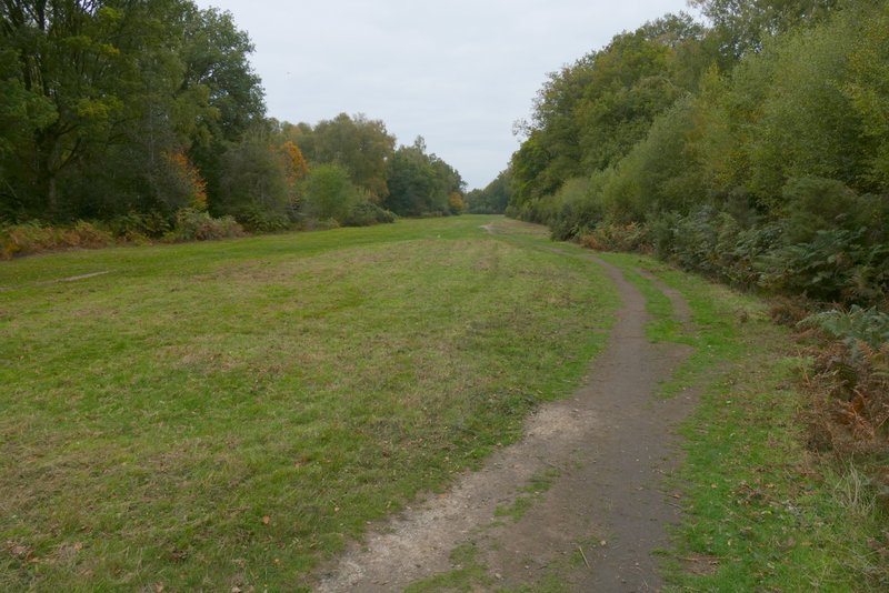
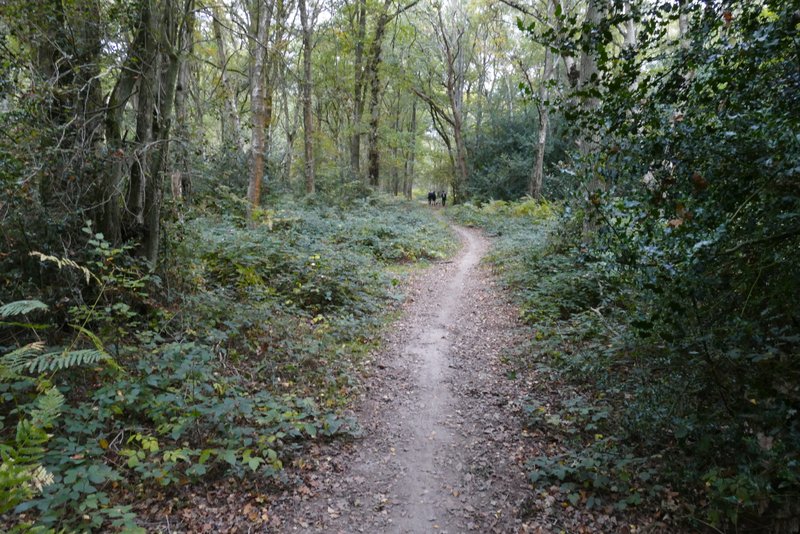
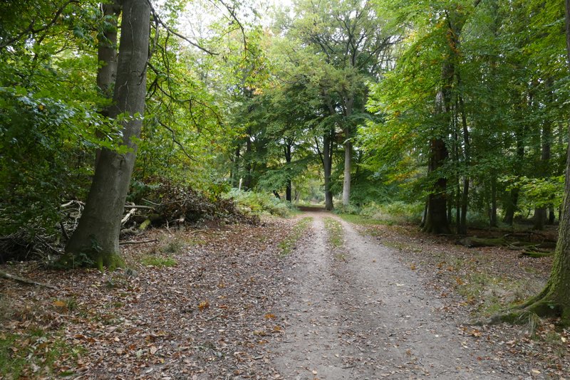
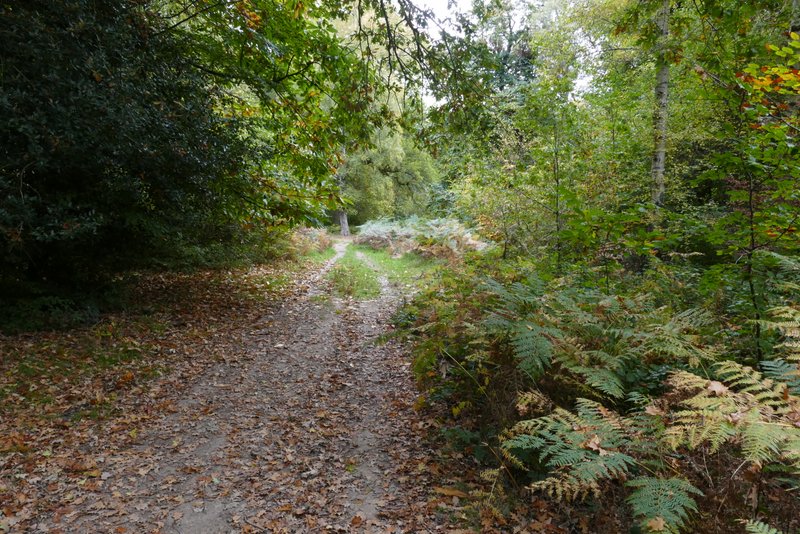
The path continuing from Coldharbour Farm towards the B4506 Ringshall-Northchurch road
The path continuing from Coldharbour Farm towards the B4506 Ringshall-Northchurch road
Across the road a bridleway carried on through more woods, initially close to a pasture on the right. On reaching a path crossroads, near a cottage on the left, I turned right on a path heading almost due north. I soon passed another side of the pasture. The path led me on to the drive to the Bridgewater Monument (away to my left), where I crossed over and went straight on. A short path led me to a junction where I turned right. This soon reached a second junction where I turned left (the other option was straight on). I was now on a path running almost parallel to the B4506 a little distance through the trees on my right (I couldn't see the road, but could hear the traffic occasionally).
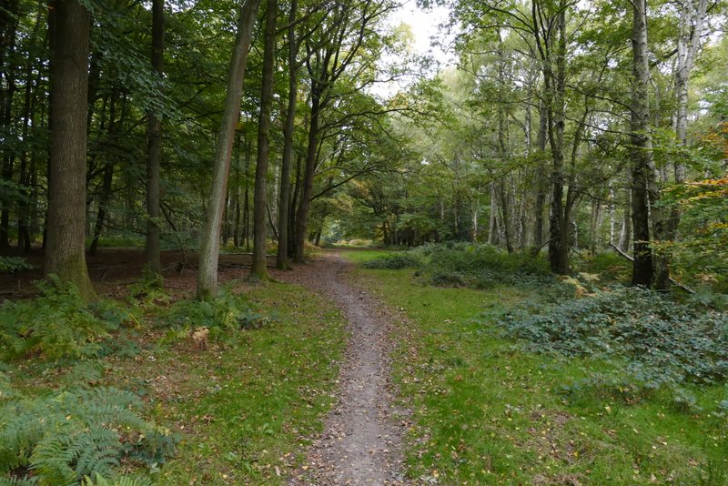
The bridleway on the other side of the B4506
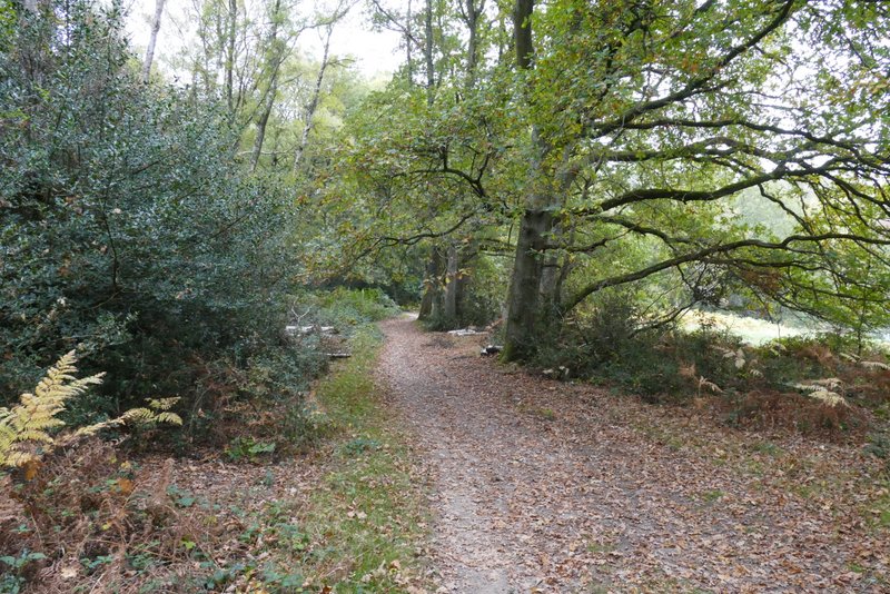
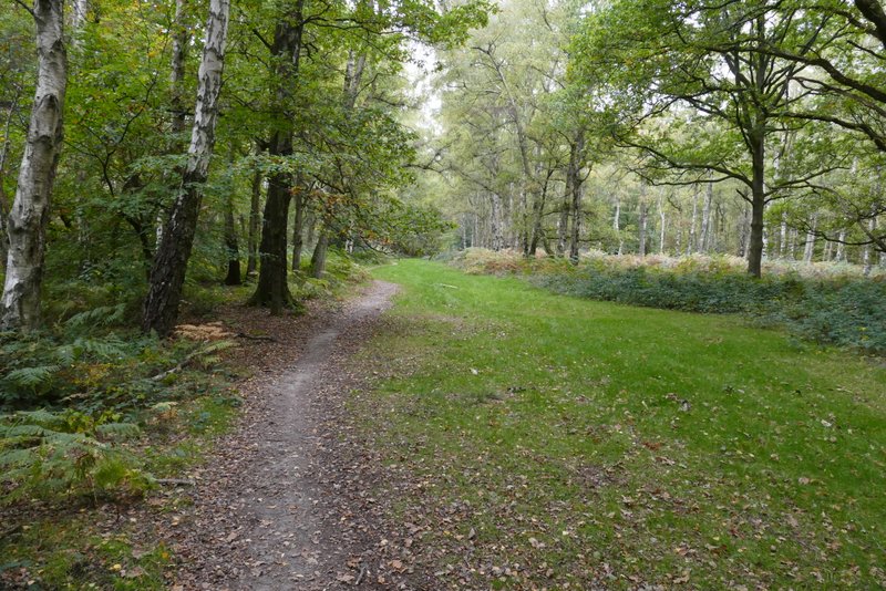
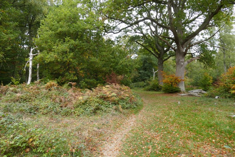
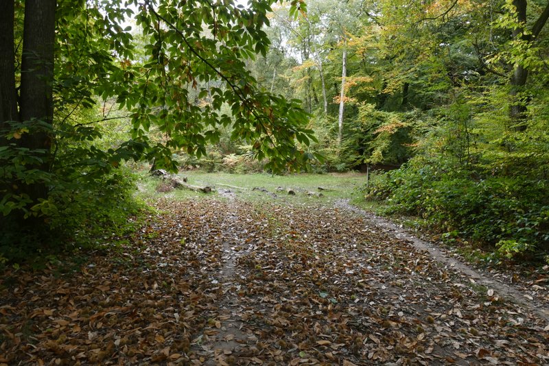
The footpath going north to the drive to the Bridgewater Monument
The footpath going north to the drive to the Bridgewater Monument
The footpath going north to the drive to the Bridgewater Monument
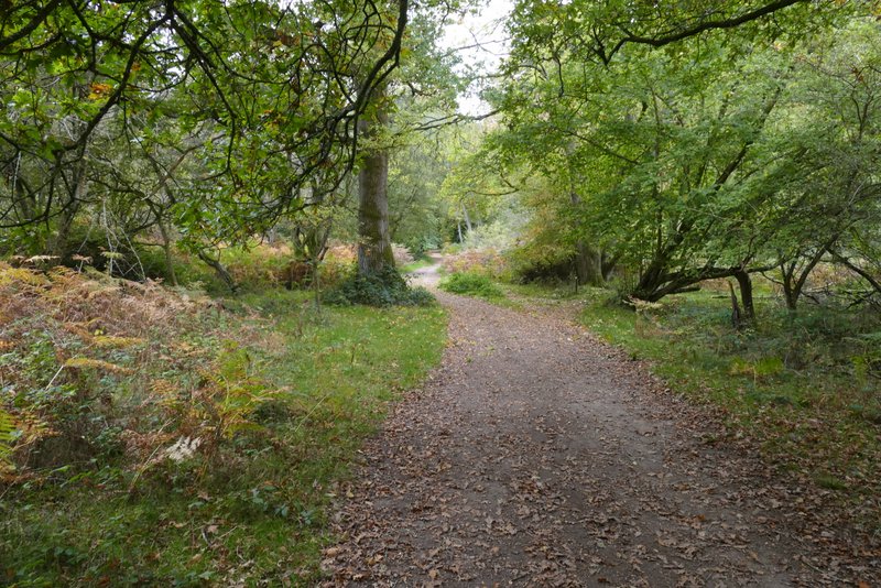
The path on the other side of the drive to the Bridgewater Monument
The bridleway after I turned right
The junction where I turned left
I followed this path for about half a mile. I know that I last walked it in 2015, but can remember walking it a few times in the 1980s. I remembered that there were many Chestnut trees along it, and in places today the path was almost carpeted by fallen chestnuts. I'd been puzzled by seeing signs for the Ashridge Estate Boundary Trail again since turning right at that first junction after the drive to the monument, as I knew it doesn't go this way. When I eventually reached a junction with a waymark post, there were signs showing the Ashridge Estate Boundary Trail going left and right, along what I knew to be the correct route. So I thought there might now be an official shortcut for the Ashridge Estate Boundary Trail, for those who don't want to do the full 16 miles (I've now done a quick Google, and there are now two circular routes, Ashridge Estate Boundary Trail North and Ashridge Estate Boundary Trail South!). Anyway I turned right at the junction and soon reached the car park where I'd started from.
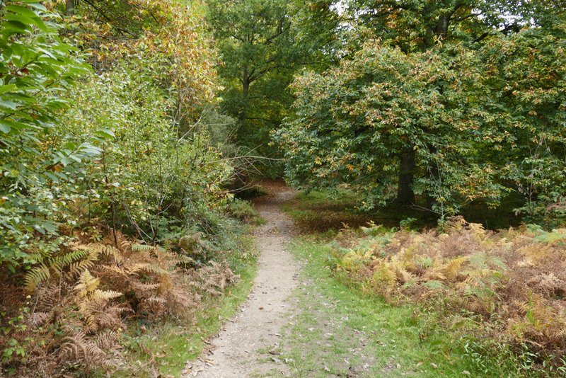
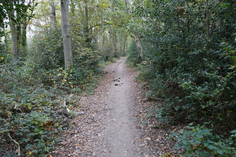
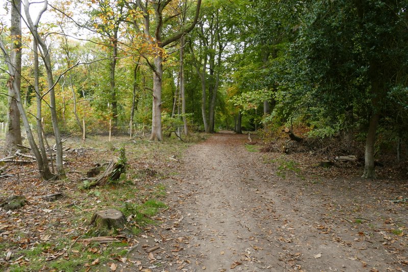
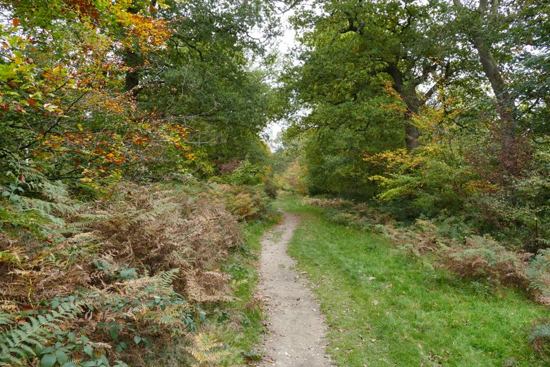
The bridleway going northeast, almost parallel with the B4506
The bridleway going northeast, almost parallel with the B4506
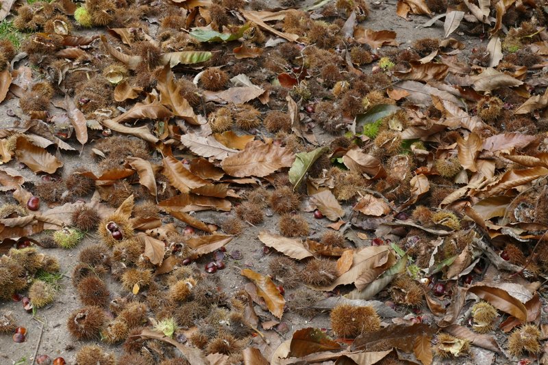
Chestnuts
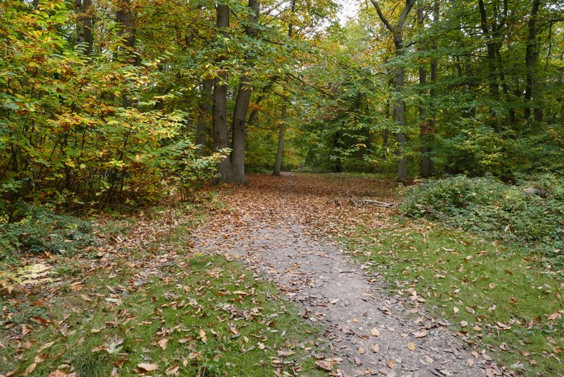
The bridleway going northeast, almost parallel with the B4506
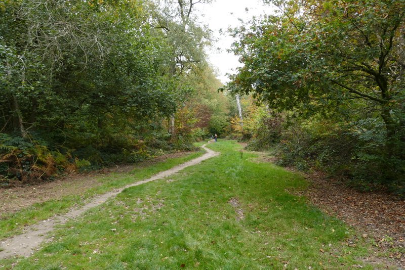
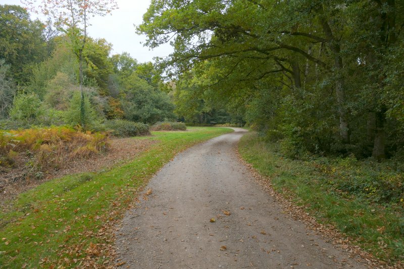
The bridleway down to the car park on the B4506 just south of Ringshall, after I turned right at a path crossroads
It had been a very grey and overcast morning, but I still really enjoyed the walk. This route is quite undemanding, with just one steepish uphill (from Golden valley) and a longer very gradual uphill from Frithsden, so I manage to walk the 8.3 miles in about 3 hours (which is very fast for me nowadays). The woods weren't yet at their Autumn best, but were still pretty colourful. Despite some recent rain the paths weren't very muddy at all (which can be a problem in these woods after prolonged rain).