Pete's Walks - Maidensgrove Common, Nettlebed, Coxlease Farm (page 1 of 4)
If you are considering walking this route yourself, please see my disclaimer. You may also like to see these notes about the maps and GPX files.
I did this circular walk of about 8.3 miles on Wednesday, 22nd October 2025. It was a repeat of a walk I did in February 2024. I parked along the lane that crosses Maidensgrove Common, near Maidensgrove (grid reference SU 717886).
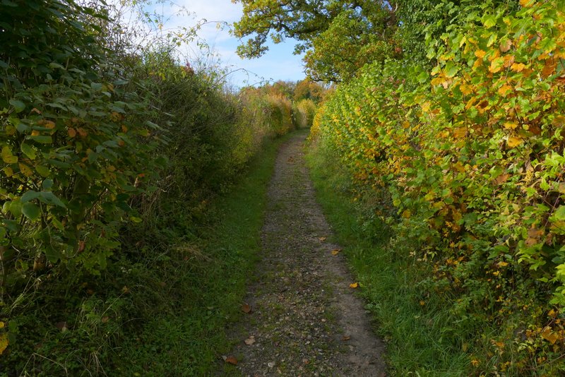
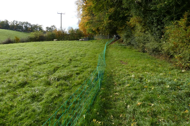
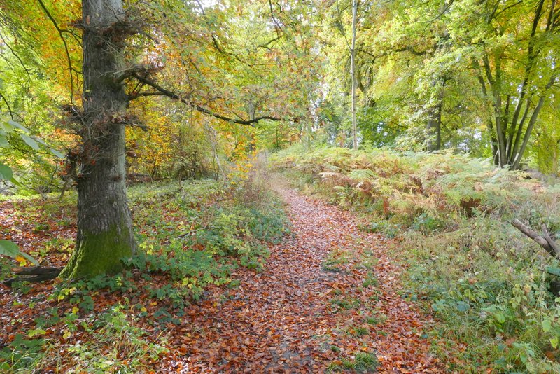
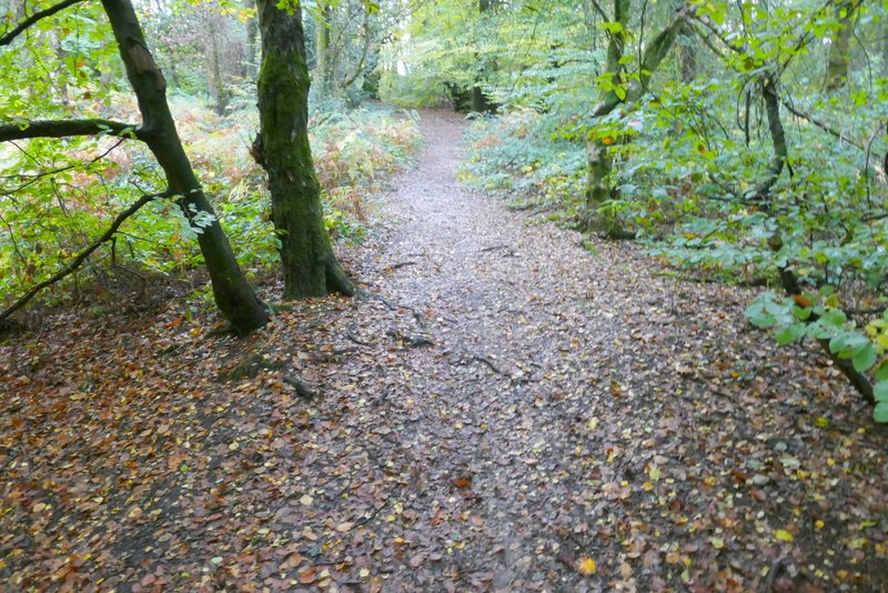
I started walking about 10.45am, following the lane across the common (with the larger part of the common to my right) until it turned right, where I went straight on along a bridleway (heading down to the Warburg nature reserve). I only followed the bridleway for two or three hundred yards before turning right onto a footpath, which descended slightly as it crossed a large meadow (there was a fence to my right which is new since I last came this way, and the field to my right now had numerous horse jumps) to reach a wood, Big Ashes Plantation. The path was fairly level as it ran just inside the northern edge of the wood for a few hundred yards. On leaving the wood, the path went half-left and started to descend quite steeply as it crossed a meadow or pasture. It then descended quite a long flight of 'steps' through a thin bit of wood, before dropping more gently through another meadow or pasture to reach a five-way path junction in the valley of Upper Bix Bottom.
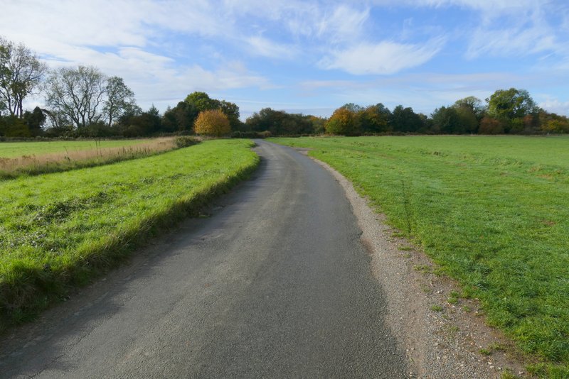
The lane across Maidensgrove Common
The bridleway to Warburg nature reserve
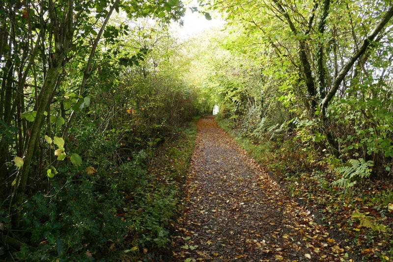
The path to Upper Bix Bottom, after I turned right from the bridleway
The path to Upper Bix Bottom
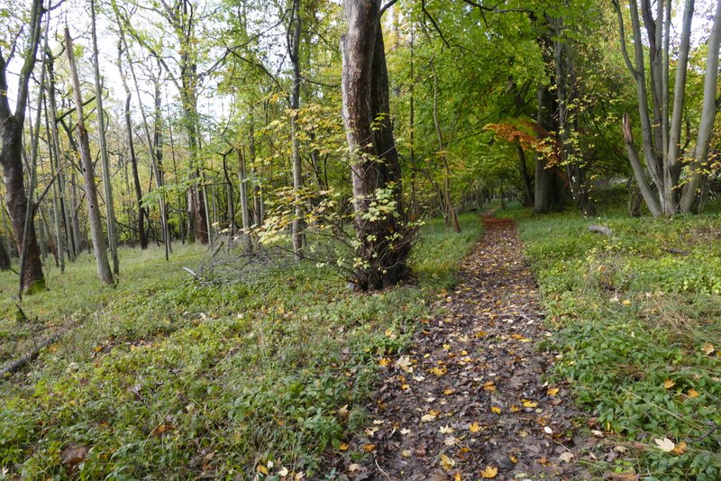
The path to Upper Bix Bottom
The path to Upper Bix Bottom
The path to Upper Bix Bottom
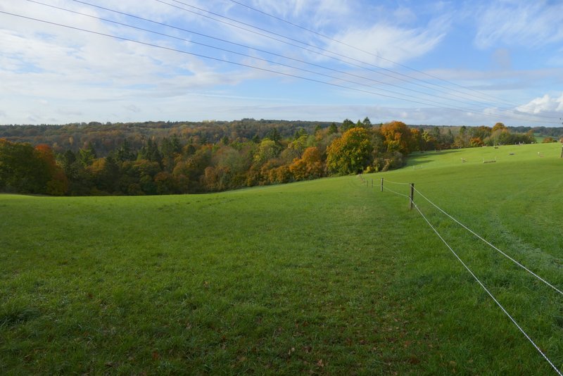
The path now approaching the five-way junction in Upper Bix Bottom
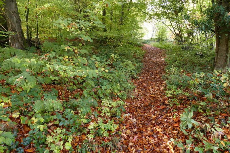
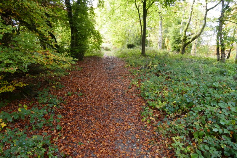
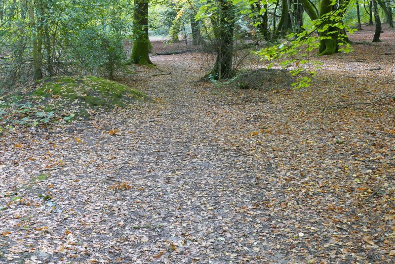
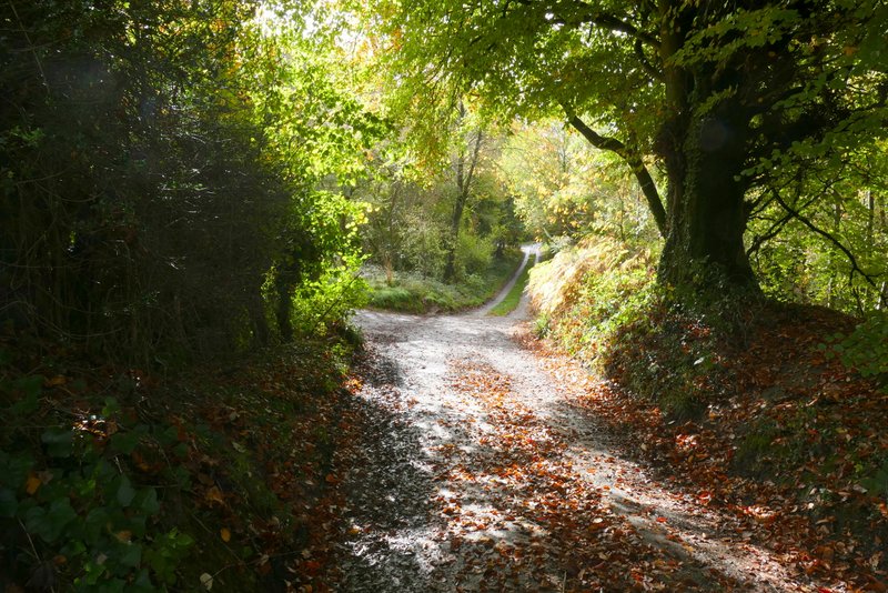
I went more or less straight on here, following a byway along a hedge-lined farm track. I then turned left where a path crossed the byway (shortly before it reaches Westwood Manor Farm), following it across a corner of a pasture to a wood named Berrick Trench. The path then ran gently uphill through the wood for just over a quarter of a mile. It then continued at a similar gradient through a meadow, and then ran along the edge of a garden in the hamlet of Magpies.
The bridleway from Upper Bix Bottom (heading to Westwood Manor Farm and Park Corner)
The path after I turned left from the bridleway, heading to Magpies
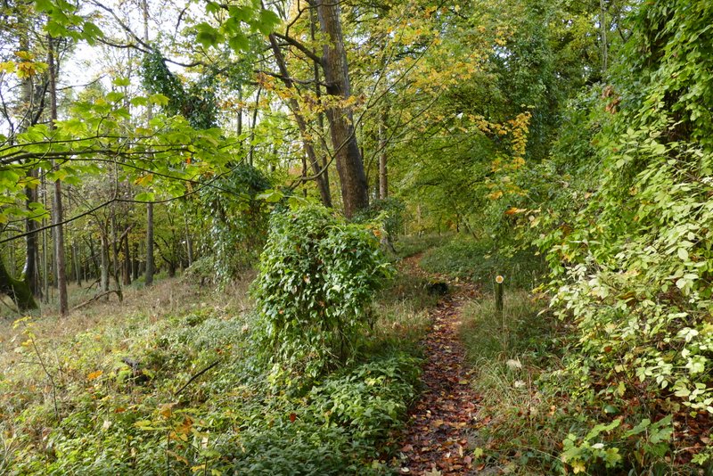
The path to Magpies, in Berrick Trench
The path to Magpies, in Berrick Trench
The path to Magpies, in Berrick Trench
The path approaching Magpies
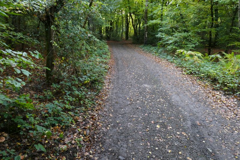
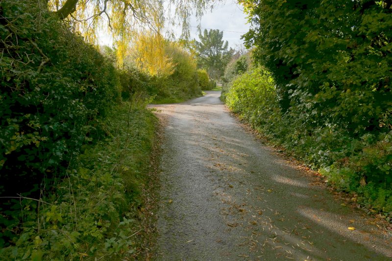
I turned left along the drive through the hamlet, immediately entering woodland. After two or three hundred yards a bridleway forked left - I have occasionally had issues finding my way through this wood in the past, but the bridleway was very clear and was well marked by white arrows on trees. The bridleway rose slightly uphill through the wood, then joined a track or drive that brought me into Nettlebed. On reaching a road I turned left and quickly came to a T-junction in the centre of the village.
The drive from Magpies
The bridleway to Nettlebed
The bridleway to Nettlebed
The track or drive into Nettlebed
The track or drive into Nettlebed
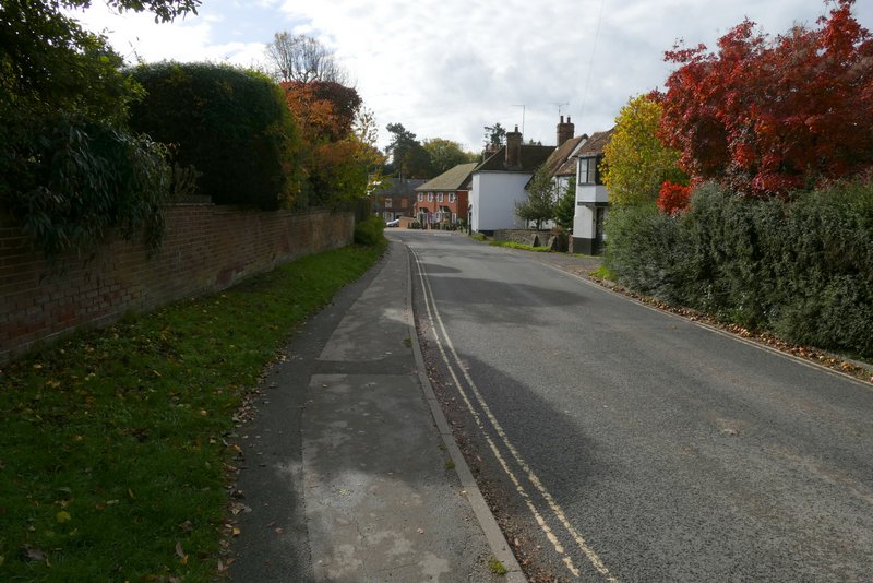
The road at Nettlebed