Pete's Walks - Maidensgrove Common, Nettlebed, Coxlease Farm (page 2 of 4)
If you are considering walking this route yourself, please see my disclaimer. You may also like to see these notes about the maps and GPX files.
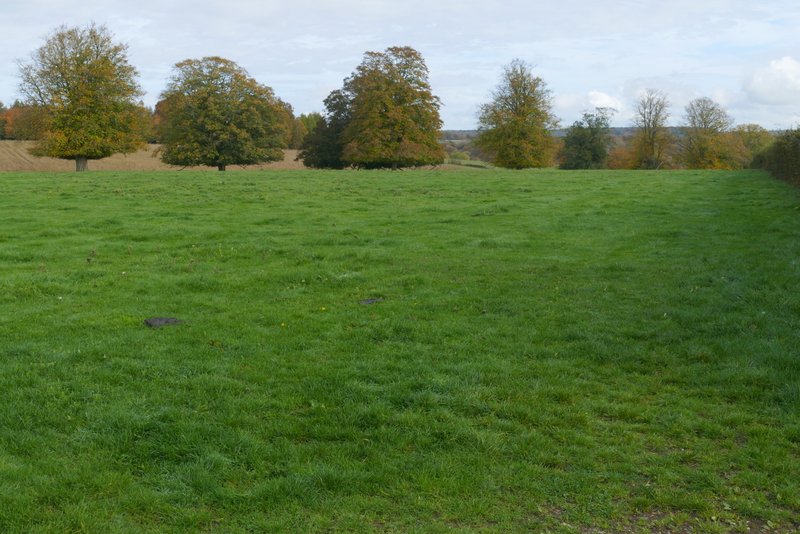
I turned left and then immediately forked left along a lane heading to Crocker End. I spotted a brick kiln to my left here - Nettlebed was known for producing tiles and later bricks, from the mediaeval period right up to the 20th century. There was also two examples of Puddingstone, with an information board about them (I have seen Puddingstone elsewhere in the Chilterns, including at The Lee and at Cholesbury). I went straight on at a staggered crossroads, then a took a path on that side (no sign or waymark, but fairly obvious) that ran along the right edge of the long green at Crocker End. At the far end of the green I took a footpath, that followed a hedgerow on my right - the large pasture is dotted with mature trees, so I assume it is, or was, part of the park around the nearby Soundess House. I followed the hedgerow until I reached Wellgrove Wood.
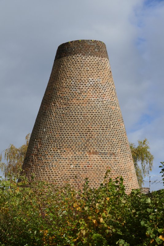
Brick Kiln, Nettlebed
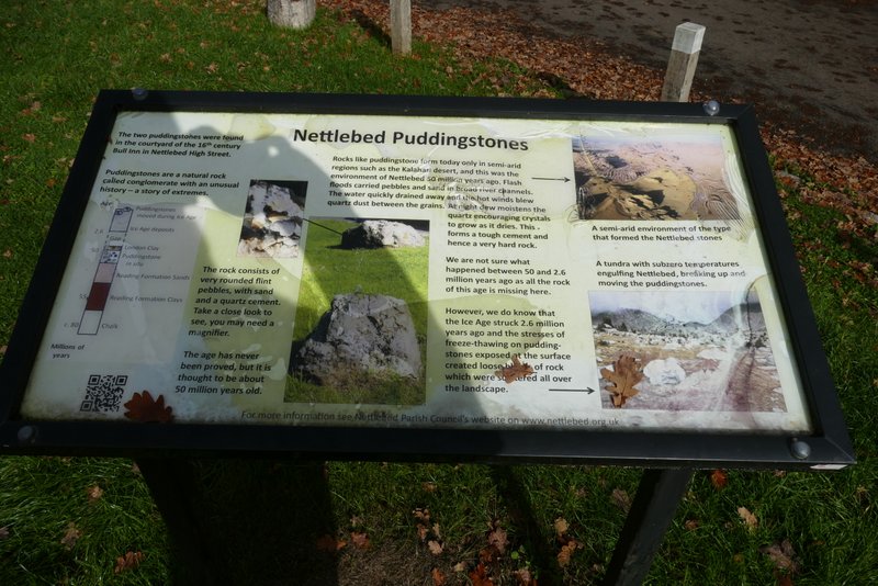
Information board about Puddingstone
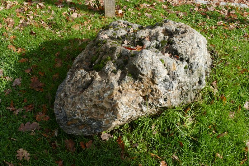
Puddingstone, Nettlebed
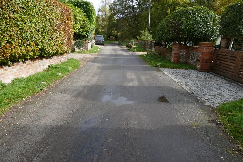
The lane from Nettlebed to Crocker End
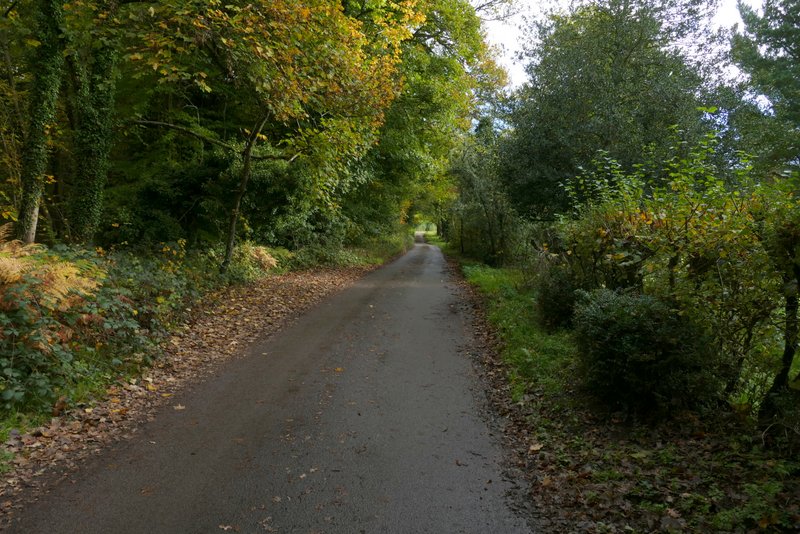
The lane from Nettlebed to Crocker End
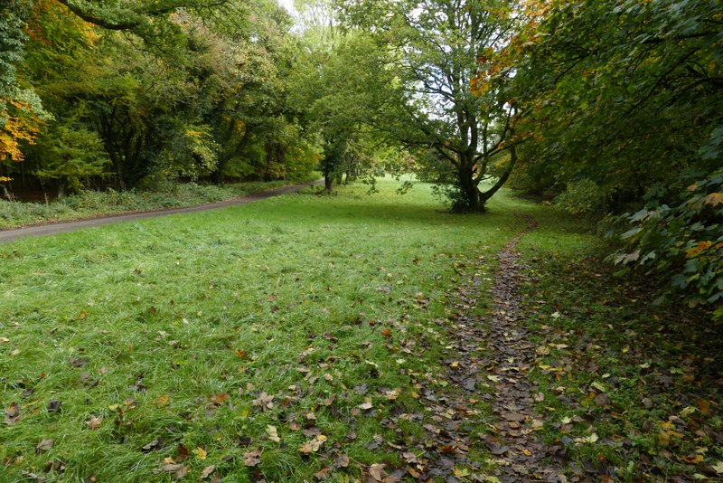
Approaching Crocker End
Crocker End
Crocker End
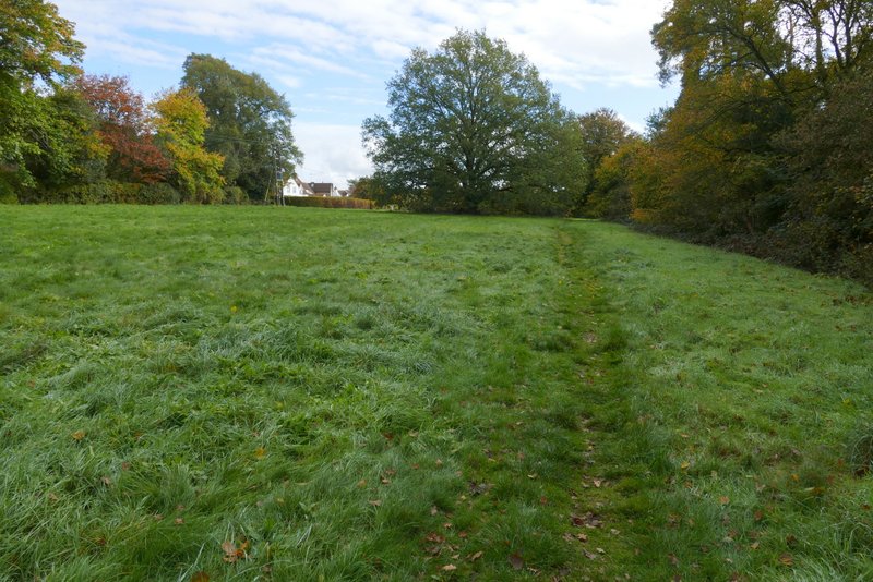
The path from Crocker End
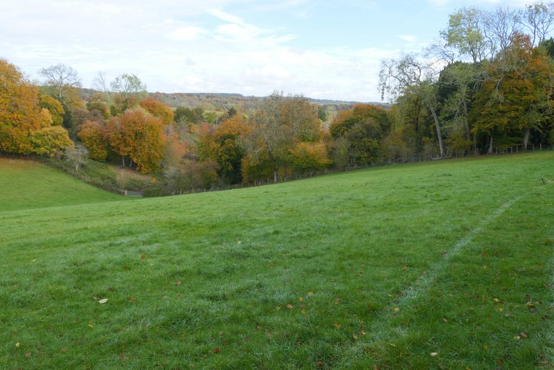
View from just before reaching Wellgrove Wood
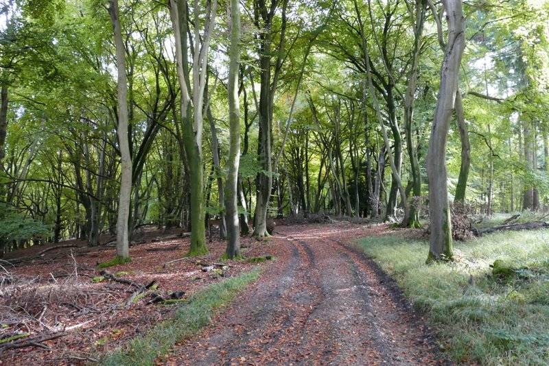
The path continued fairly flat for about a quarter of a mile, initially through an area of mainly conifers. It then started descending through the wood, which was now mainly Beech trees. On leaving the wood, the path continued its gradual descent along a farm track beside a tall hedge on my right, until it reached the lane running through the valley of Bix Bottom (next to the ruined church of St James).
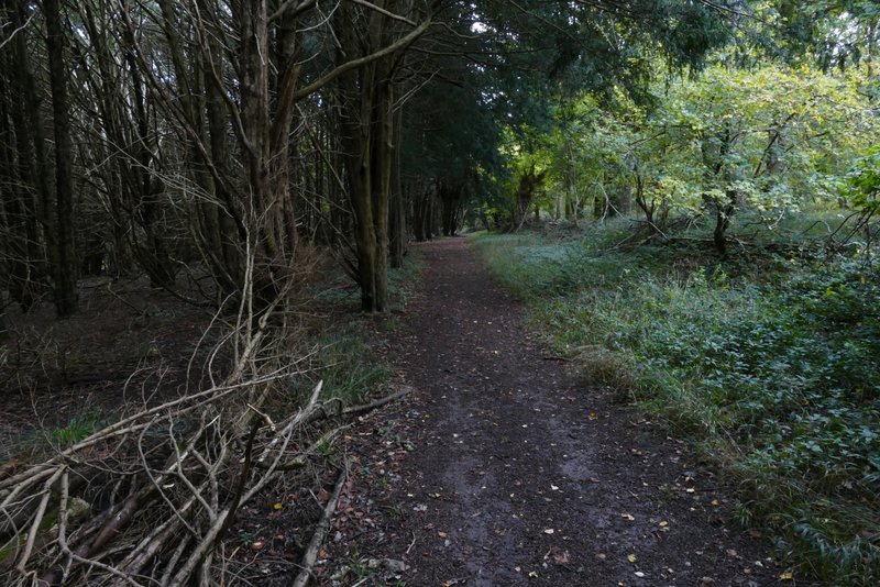
The path through Wellgrove Wood
The path through Wellgrove Wood
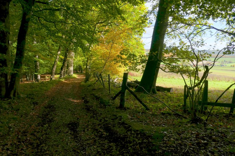
The path through Wellgrove Wood
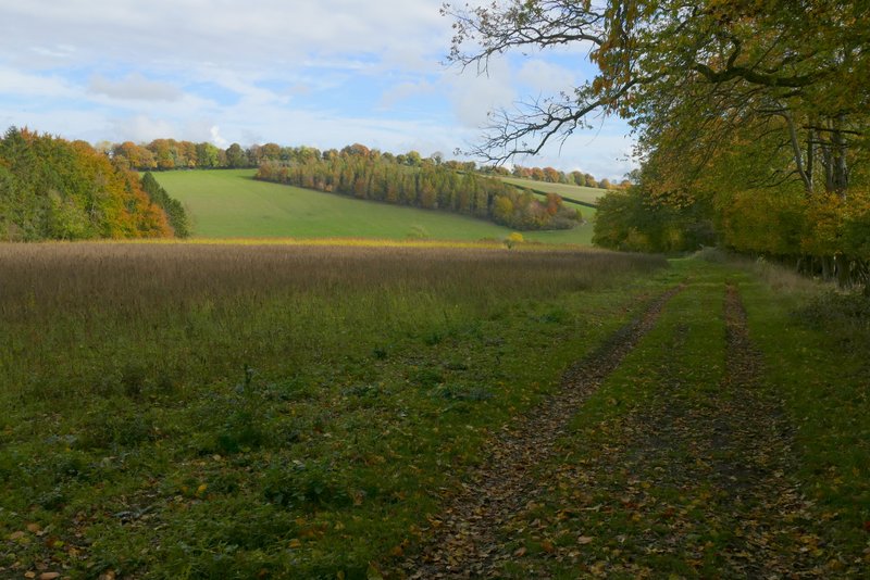
The path continuing from Wellgrove Wood to Bix Bottom
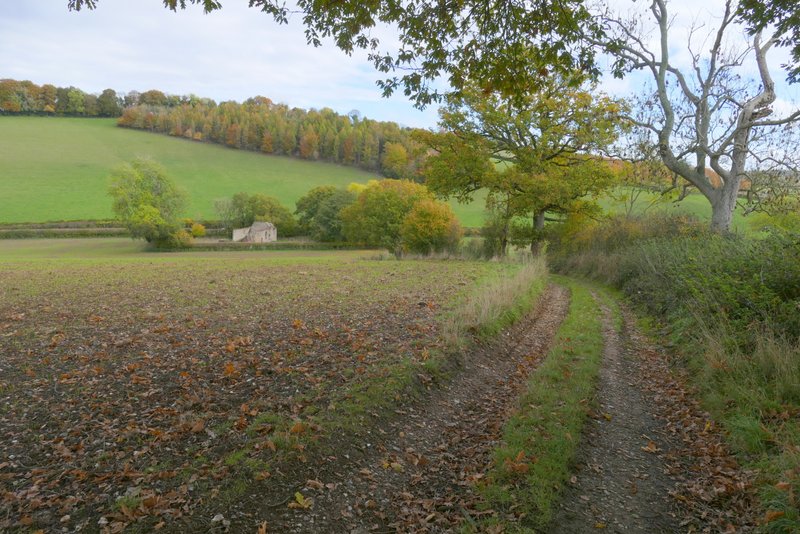
The path continuing from Wellgrove Wood to Bix Bottom
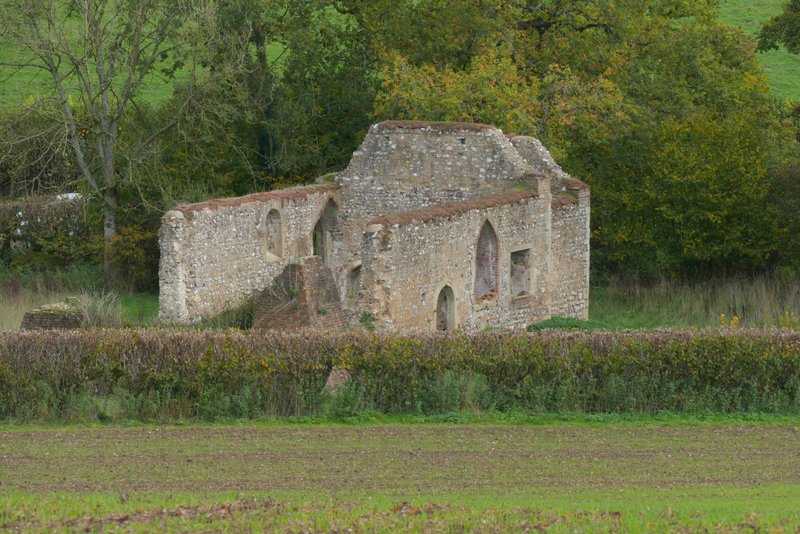
The remains of the old church of St James, Bix Bottom