Pete's Walks- Ashridge Estate boundary Trail - North (page 4 of 4)
If you are considering walking this route yourself, please see my disclaimer. You may also like to see these notes about the maps and GPX files.
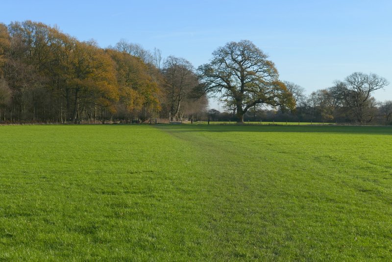
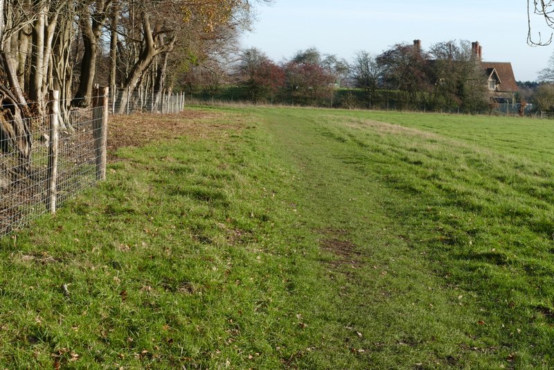
The footpath went straight on through the yard at Ward's Hurst Farm, then continued across four empty sheep pastures, following the edge of a wood on the right in the last of these fields. It continued under a 'green tunnel' of overhanging branches for a short way, then continued along the edge of a meadow. Through a gate it continued by the wood. Eventually the path turned right (near a small reservoir on the right), and then joined a drive which it followed to a road on the edge of Ringshall.
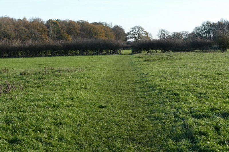
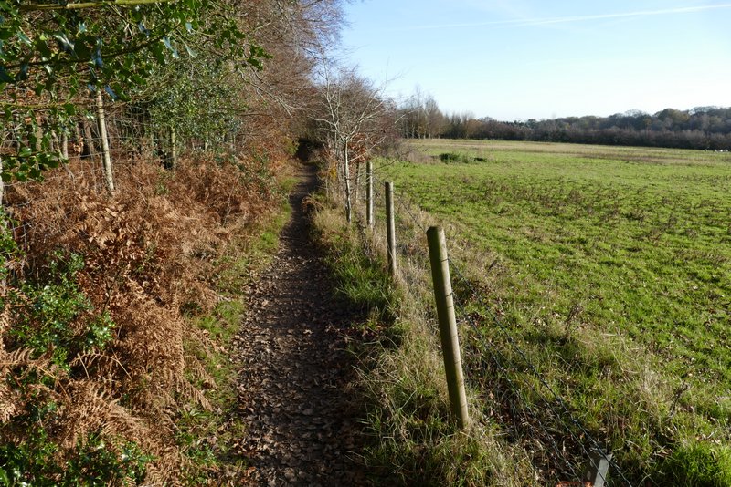
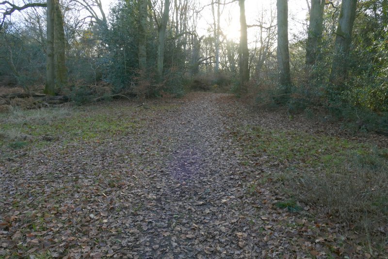
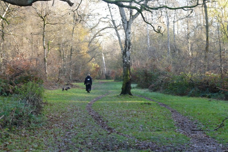
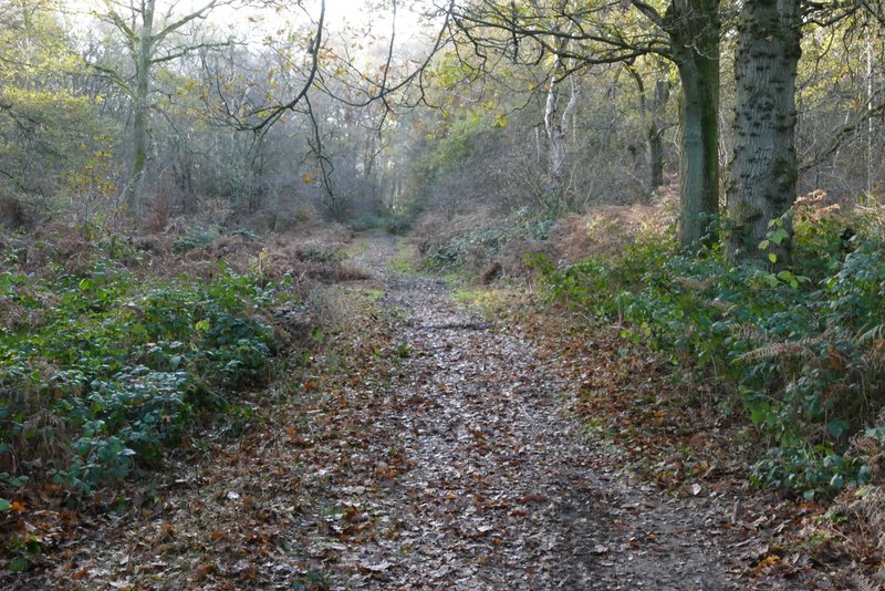
The path from Ward's Hurst Farm, heading through the empty sheep pastures
The path from Ward's Hurst Farm, heading through the empty sheep pastures
The path from Ward's Hurst Farm, heading through the empty sheep pastures
The path from Ward's Hurst Farm, heading through the empty sheep pastures
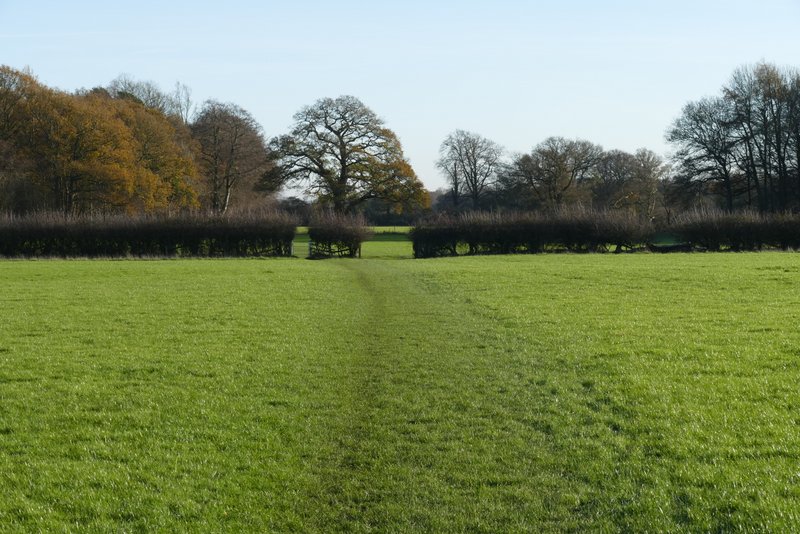
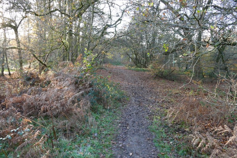
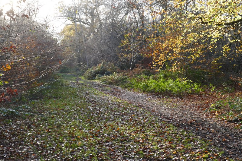
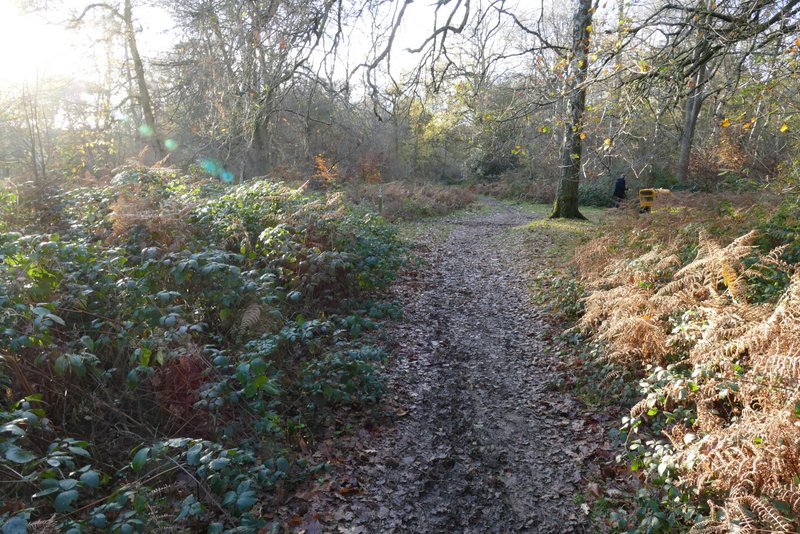
Further along the same path, heading towards Ringshall
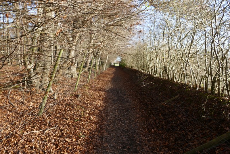
Further along the same path, heading towards Ringshall
Further along the same path, heading towards Ringshall
Further along the same path, heading towards Ringshall
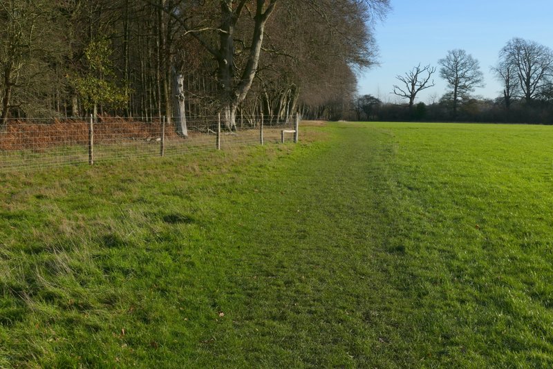
Across the road I was back in the woods of Ashridge. A path went straight on, close to a large parking area on the right, for about a quarter of a mile. I then turned left at a path T-junction (or maybe the path just turns left, the path coming in on the right is much smaller) for a short distance, then soon went right at another path T-junction, before going left at a path crossroads.
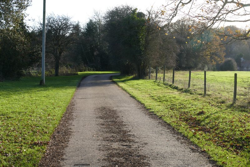
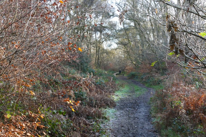
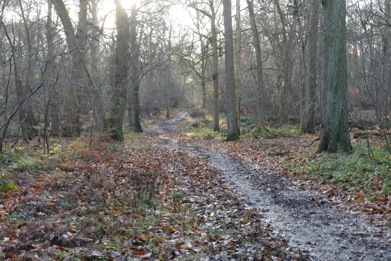
The path after crossing the road at Ringshall
Further along the same path
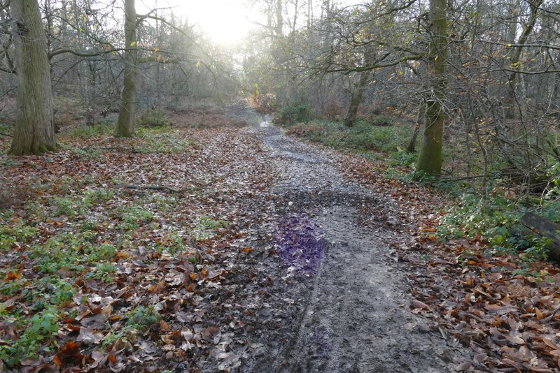
The path after turning left at a path T-junction
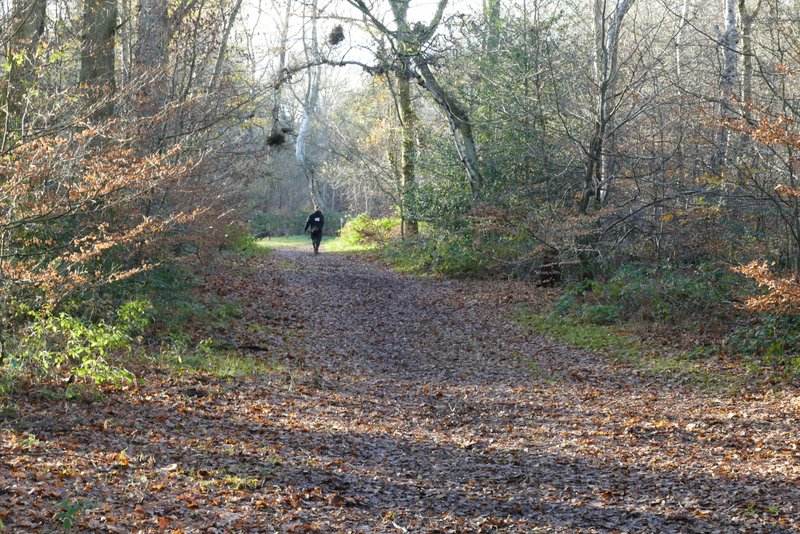
The path after turning right
The path after turning left again
This path goes to the small car park south of Ringshall where I often start and finish walks through Ashridge, but the 'Ashridge Estate Boundary Trail - North' turns right about a hundred yards or so before the car park. As I turned right, I was starting the section (about 0.9 miles) that is common to both the 'Ashridge Estate Boundary Trail - North' and the 'Ashridge Estate Boundary Trail - South' (so as well as a waymark pointing right, there was another one pointing straight on). I followed the path for about half a mile - it was quite muddy, the muddiest section of the whole route today. Apart from its muddiness I always remember this path for the large number of Chestnut trees along it. On eventually reaching a major path junction I turned half-right onto a bridleway, which I followed for quarter of a mile or so until it ended near the Bridgewater monument and the car park where I'd started from.
The path after turning right again (from here back to the Bridgewater monument is the section that is common to both the 'Ashridge Estate Boundary Trail - North' and the 'Ashridge Estate Boundary Trail - South')
Further along the same path
Further along the same path
The bridleway after I turned half-right at a major path junction
Further along the same bridleway, approaching the Bridgewater Monument
This was a very enjoyable walk, which is hardly surprising as it contains the best parts of the original Ashridge Estate Boundary Trail which has long been a favourite of mine. The new section (i.e. not in the original trail) that visits Aldbury Nowers and Pitstone Hill was also particular pleasant, even though the majority of it, along the Ridgeway, was very familiar to me (the bridleway from the stables and past the golf course I've only ever walked two or three times before). As this route is so close to my home, I'm sure I'll walk it many times again in future years.