Pete's Walks- Ashridge Estate boundary Trail - North (page 3 of 4)
If you are considering walking this route yourself, please see my disclaimer. You may also like to see these notes about the maps and GPX files.
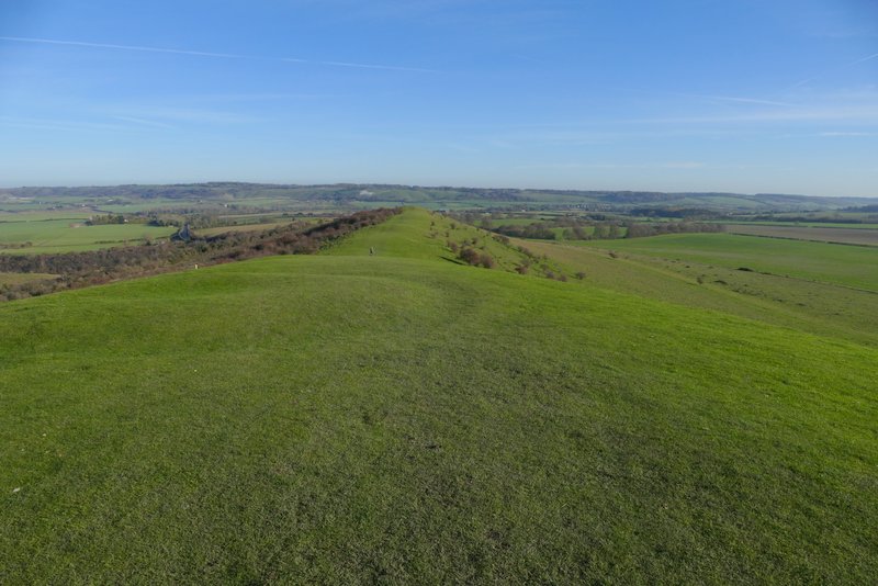
At the top of Ivinghoe Beacon (the end, or start, of the Ridgeway national trail) I turned right, and headed along the grassy ridge heading to Gallows Hill. This was a very pleasant stroll, with a view ahead to the long line of the Dunstable and Whipsnade Downs (with a chalk figure of a lion marking the location of Whipsnade Zoo). I went through a gate (there was a 'ring doughnut' shape in the grass just after the gate, which was a tumulus or ancient burial mound). On reaching Gallows Hill, the path started to drop downhill. I went through a second gate and continued downhill, then turned right onto a track (behind a hedgerow) - there was a larger tumulus near this point.
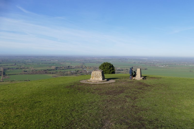
View from Ivinghoe Beacon
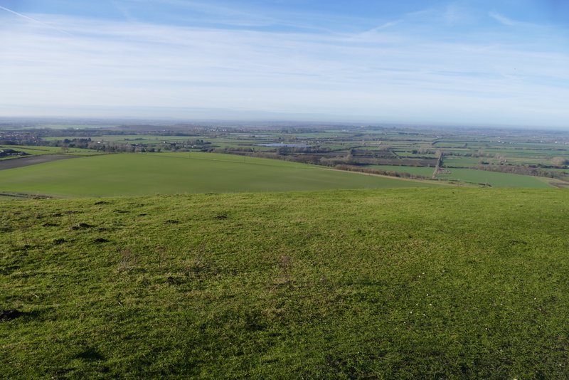
View from Ivinghoe Beacon, over the Vale of Aylesbury
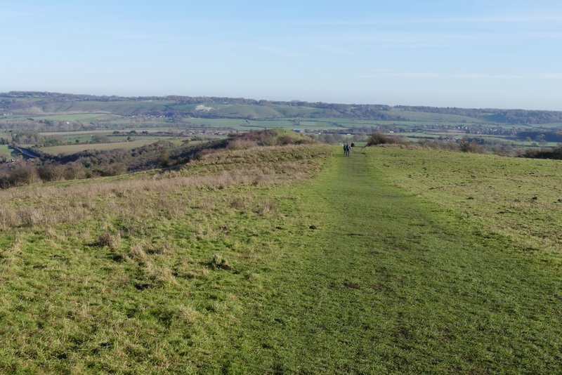
The path from Ivinghoe Beacon to Gallows Hill
The path from Ivinghoe Beacon to Gallows Hill (the 'ring doughnut' shape in the grass in the foreground is a tumulus (ancient burial mound)
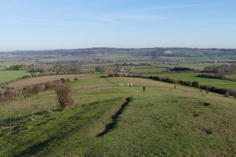
The same path now descending from Gallows Hill
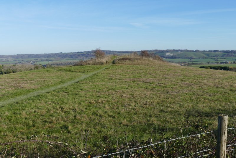
The tumulus (ancient burial mound) at the end of Gallows Hill, from where I turned right
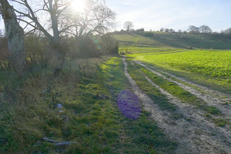
The path after I turned right, descending from Gallows Hill (I turned right at the bottom of the slope)
The track went downhill, and at the bottom of the slope I turned right again, with a tall hedgerow of trees on my left. At the end of the trees the path continued for several hundred yards in a straight line between arable fields - the path was thick with mud that clung to my boots, so I generally walked through the grass to the side of the path. Eventually I passed a line of trees on my left and went through a gate into an area of scrubland. The path went slightly left here to reach a waymark post, where I turned left and soon entered a wood. The path continued through the wood for several hundred yards. Just after going through an area of conifers, I reached a long and steep flight of 'steps', heading up towards Ward's Hurst Farm. I noticed that these 'steps' had been completely renewed since I was last here. At the top of the slope, the path left the wood and ran along the edge of a sheep pasture for a hundred yards or so before reaching the farm.
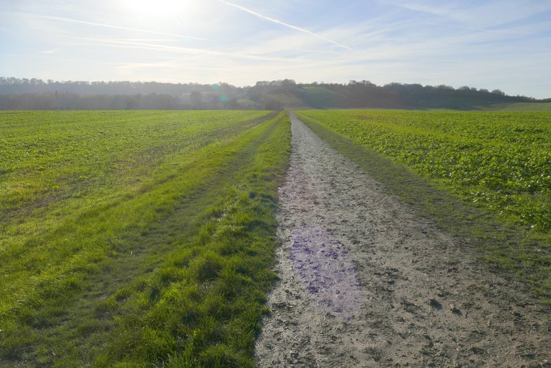
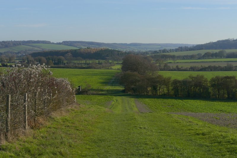
The long field path after I turned right at the bottom of Gallows Hill
The long field path after I turned right at the bottom of Gallows Hill
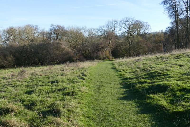
The path after I turned left, approaching the wood
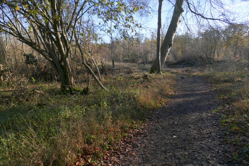
The path continuing through the wood
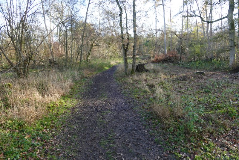
The path continuing through the wood
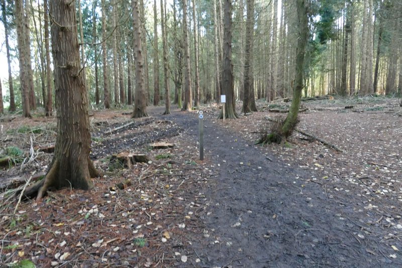
The path continuing through the wood
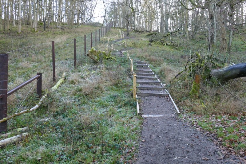
The 'steps' heading up to Ward's Hurst Farm
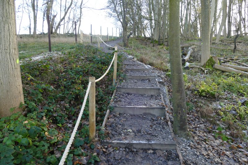
The 'steps' heading up to Ward's Hurst Farm
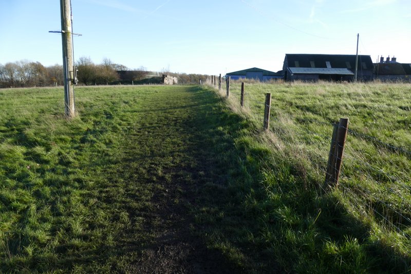
Approaching Ward's Hurst Farm