Pete's Walks- Ashridge Estate boundary Trail - North (page 2 of 4)
If you are considering walking this route yourself, please see my disclaimer. You may also like to see these notes about the maps and GPX files.
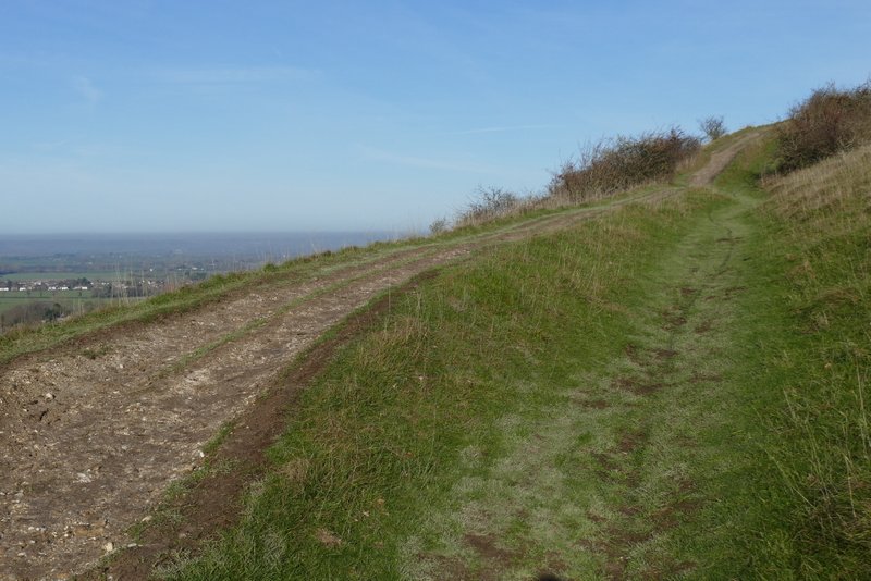
Eventually the Ridgeway left the woods, and rose up the western side of Pitstone Hill, turning half-right as it neared the top. After admiring the views from the top of the hill, I continued in roughly the same direction, with a fine view towards Ivinghoe Beacon and Steps Hill ahead of me. After a while the path dropped downhill, and I soon had a hedgerow on my right. I paused at the base of the hillock near the Pitstone Hill car park, and used my phone to check the map of the route on the National Trust's website. This confirmed that the map showed the route continuing along the hedgerow, and then turning left into the car park. But I chose to follow the waymark here instead, which pointed along a clear path skirting round the right of the hillock. On the far side of the hillock this path merged with the path that goes over the hillock (the way I go on most of my own routes) and then reached the Pitstone Hill car park and a lane.
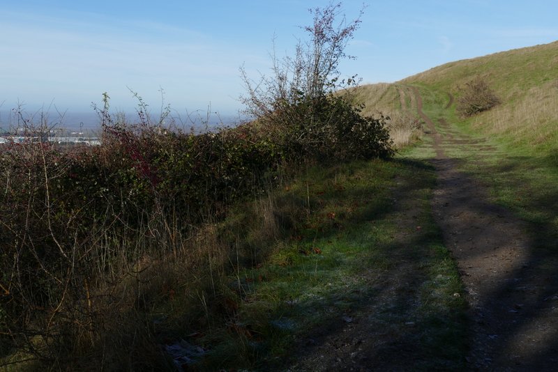
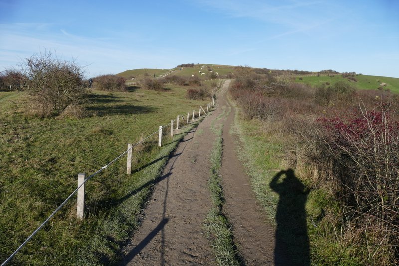
The Ridgeway going up Pitstone Hill
The Ridgeway going up Pitstone Hill
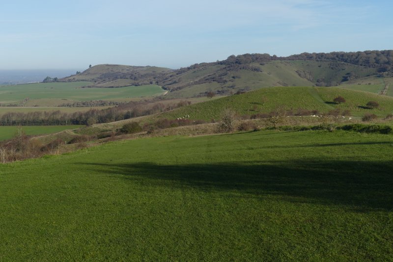
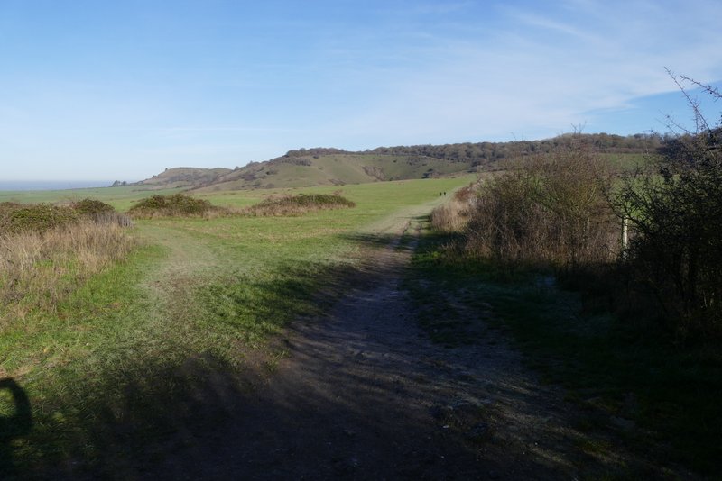
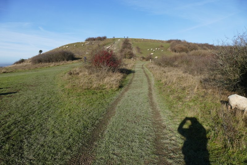
The path on Pitstone Hill, looking ahead to Steps Hill (right) and Ivinghoe Beacon (left)
The path on Pitstone Hill, looking ahead to Steps Hill (right) and Ivinghoe Beacon (left)
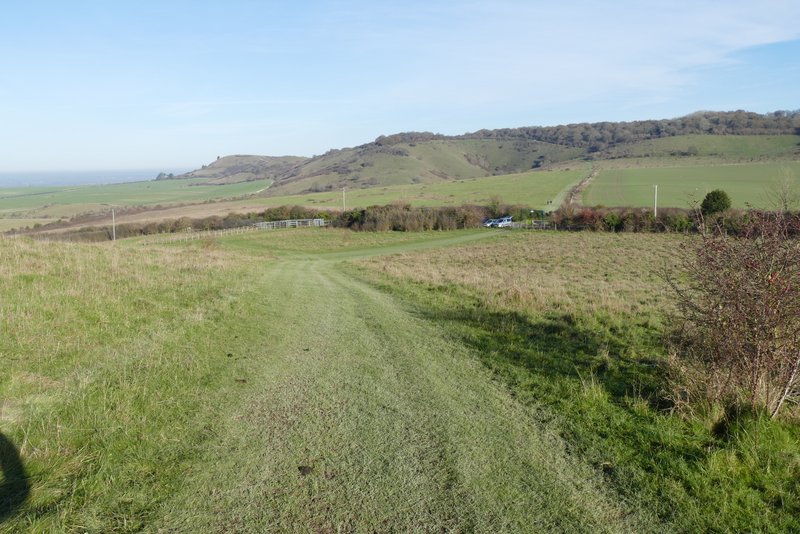
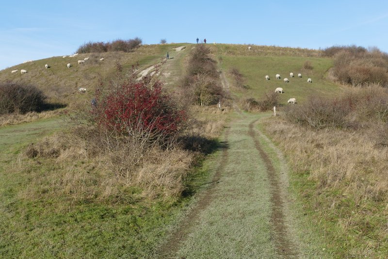
Approaching the Pitstone Hill car park
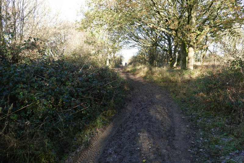
Across the lane a long straight path lead towards Steps Hill. I went straight on at a path crossroads, rejoining the route of the original Ashridge Estate Boundary Trail which comes in from the right here. The path started to rise up the hill now, and after a while turned left around the head of a steep-sided valley called Incombe Hole. At the top of Steps Hill I went through a gate and continued straight on.
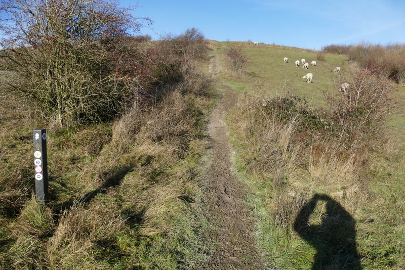
The Ridgeway continuing towards Steps Hill, on the other side of the lane from the Pitstone Hill car park
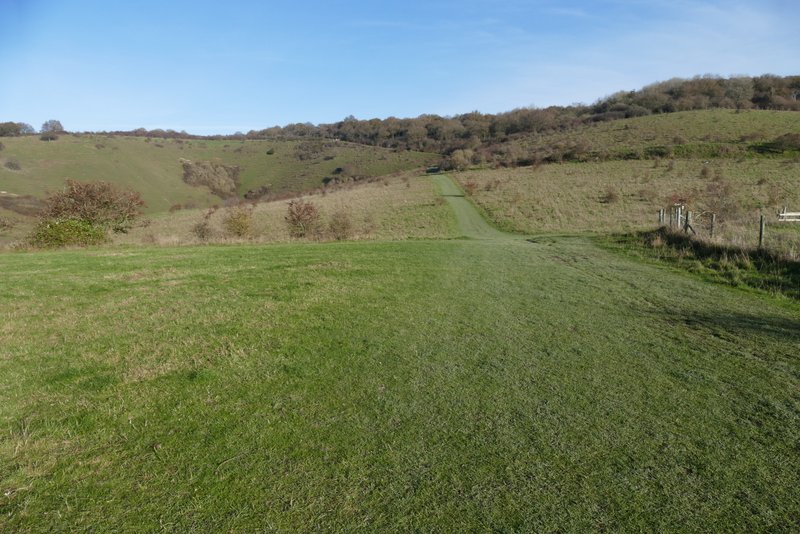
The Ridgeway continuing towards Steps Hill
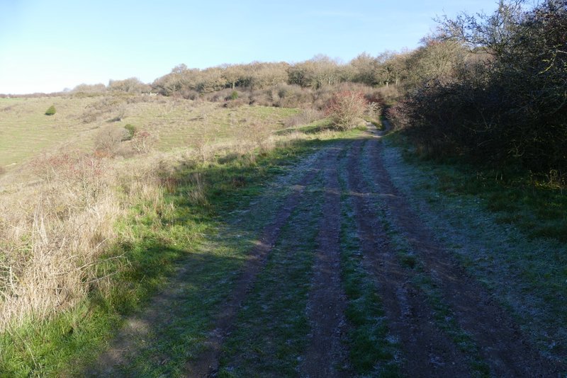
The Ridgeway going up Steps Hill
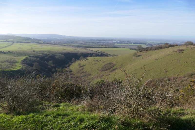
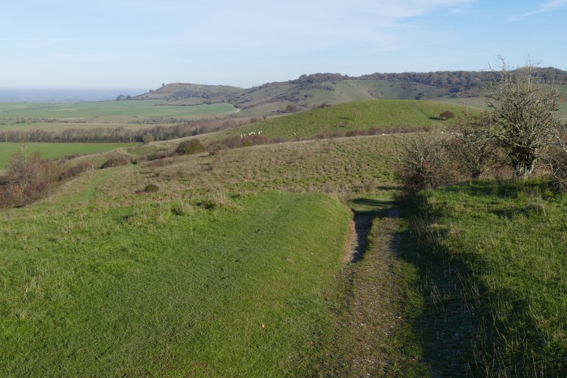
View over Incombe Hole, from Steps Hill
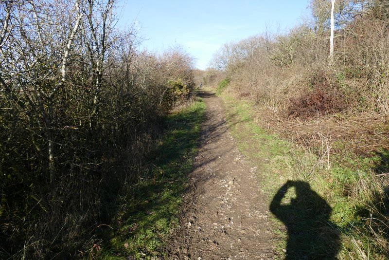
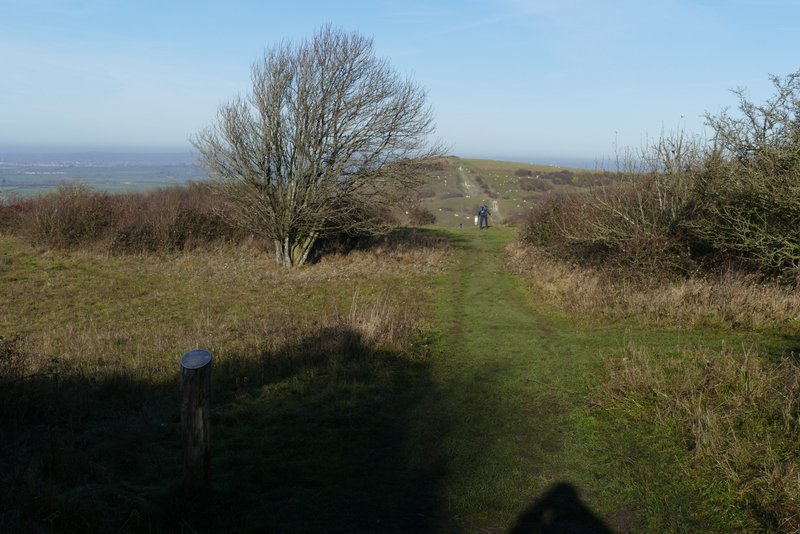
The path on Steps Hill ran through bushes and trees for a while, then dropped down a scrub-covered slope to reach a road. I carefully crossed over (there is a sharp bend on the right here) and followed the Ashridge Estate Boundary Trail waymarks that pointed down a track towards a gate, then turned left onto a crossing path (before reaching the gate). This path ran parallel to the more obvious main path to Ivinghoe Beacon, presumably to give that heavily worn track to recover. At the bottom of the steep slope up to the Beacon, the waymark again disagreed with the route directions. The waymark pointed right, missing out the top of the Beacon. It seemed nonsensical to miss out the finest part of the whole Ashridge Estate Boundary Trail, and the route description just says follow the path to Ivinghoe Beacon, so I went straight on. As I slowly made my way up the steep slope I was still following the path parallel to the usual chalky track, as people have been encouraged to do this for some years now.
The path from Steps Hill towards Ivinghoe Beacon
The path from Steps Hill towards Ivinghoe Beacon
The path from Steps Hill towards Ivinghoe Beacon
The path to Ivinghoe Beacon
The path to Ivinghoe Beacon
The path to Ivinghoe Beacon
The path up Ivinghoe Beacon