Pete's Walks- Ashridge Estate boundary Trail - North (page 1 of 4)
If you are considering walking this route yourself, please see my disclaimer. You may also like to see these notes about the maps and GPX files.
On a couple of walks through Ashridge in Autumn 2025 I noticed some waymarks for the Ashridge Estate Boundary Trail that were out of place. I have walked that trail many times (and have created several of my own routes that incorporate sections of the trail), so I immediately knew the waymarks were not on that route. So I searched the internet to see if any changes had been made to the Ashridge Estate Boundary Trail, and discovered that the National Trust (who own the Ashridge Estate) have replaced that trail with the 'Ashridge Estate Boundary Trail - North' and the 'Ashridge Estate Boundary Trail - South' (click those links to see details of the new trails on the National Trust's website). The two new trails are circular (like the original trail) and share a common section of paths (about 0.9 miles long), so that they form a 'figure-of-eight'. The northern trail is 9 miles long (8.8 miles on my Google map) and the southern one 10.5 miles. So walking the 'figure-of-eight' would be about 19.5 miles, while just walking a circular route (omitting the common section twice) would be about 17.7 miles - I think the latter option probably makes more sense for what is meant to be a 'boundary trail'.
The new trails each seem to vary slightly from the route of the original Ashridge Estate Boundary Trail. The northern trail has extended the old route by visiting Aldbury Nowers and Pitstone Hill, while the southern trail takes a slightly shorter route through Northchurch Common (and has a couple of other minor variations). Only the two new trails are now waymarked (with Ashridge Estate Boundary Trail waymarks), so anyone wishing to walk the original trail needs to be aware that they can no longer just follow the waymarks. Click here to see my description of walking the old route in the clockwise direction, and click here for my description of walking it anti-clockwise.
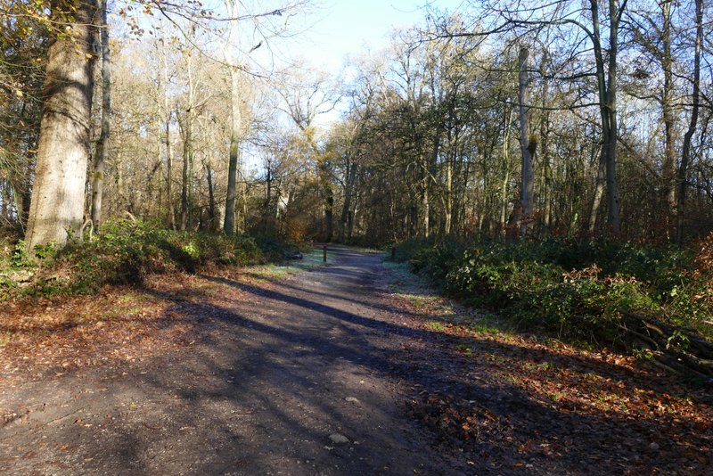
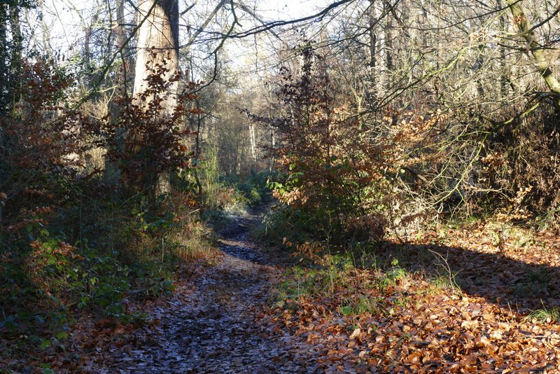
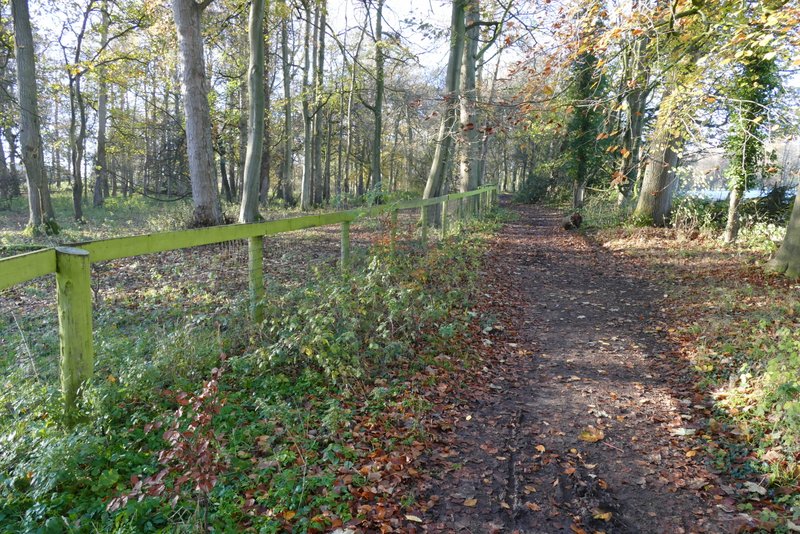
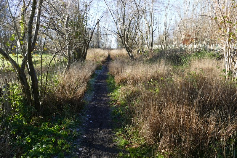
I did my first walk on the 'Ashridge Estate Boundary Trail - North' on Wednesday, November 26th 2025, following it clockwise (that is the direction the National Trust's guide describes it). I parked at the main car park by the Ashridge Estate visitor centre, grid reference SP972131, and started walking about 10.25am. The area of grass in front of the Bridgewater Monument was fenced off temporarily, so I followed surfaced paths round to where I had the monument just to my left, and then turned right (along the main track towards Ivinghoe Beacon). After one or two hundred yards I took a footpath forking left by a seat - I checked the waymark post here and the only Ashridge Estate Boundary Trail waymark pointed along this path, rather than along the main track which is the way the original Ashridge Estate Boundary Trail went. The footpath headed gently downhill through the woods of Ashridge, and after a few hundred yards I continued downhill when the path met a bridleway. Soon after reaching the foot of the slope the bridleway left the woods and continued beside a hedgerow on my left. I usually turn right where a path crosses the bridleway, but now I continued straight on along the bridleway which soon brought me to some stables. I went straight on through the stable yard to reach a lane.
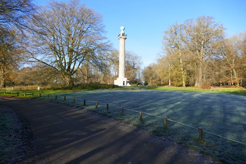
The Bridgewater monument, Ashridge
The track from the monument
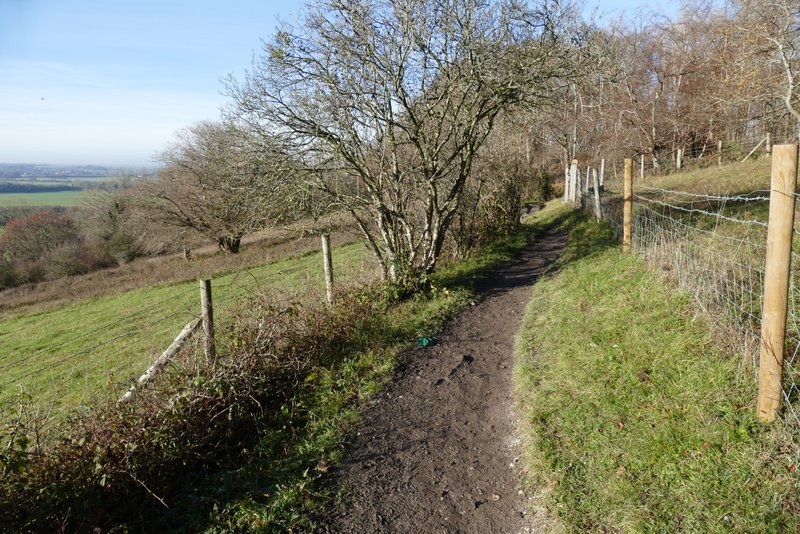
The path after I forked left by a seat
Where the path merges with a bridleway
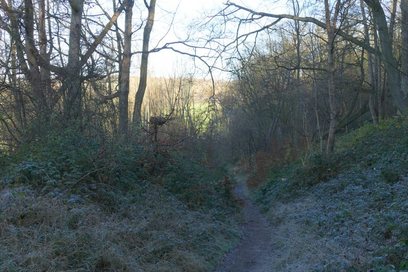
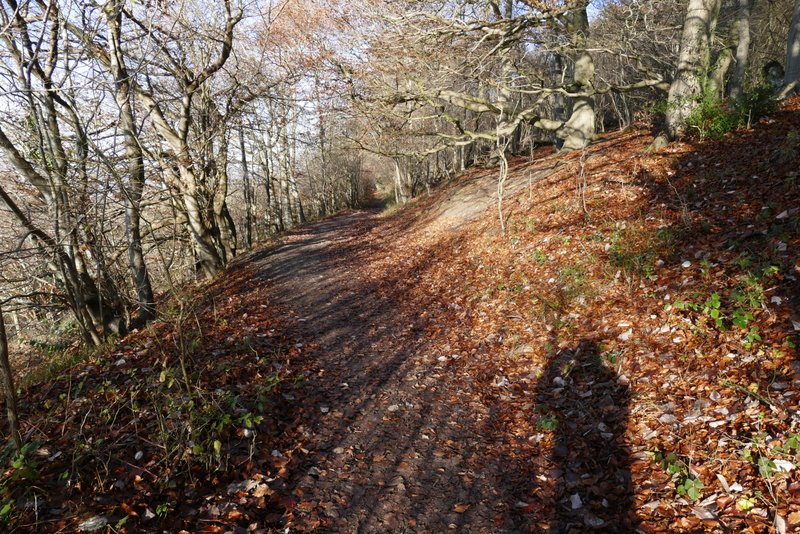
The bridleway descending from Ashridge
Big old Ash tree beside the bridleway
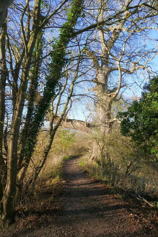
Further along the same bridleway
The bridleway as it approaches the stables
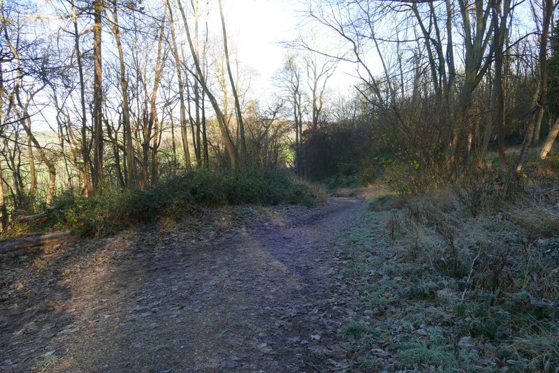
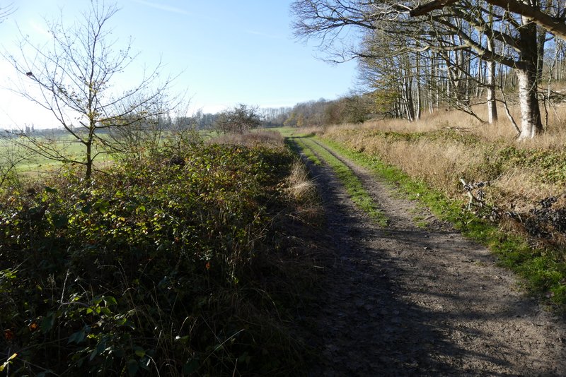
Across the lane, a bridleway continued through a small wood and then ran for just other half a mile beside a golf course (on my left). Eventually the bridleway curved round in almost a semi-circle, and then I turned right onto a footpath. I went straight on where a path came in from the left, then turned right at the next path junction, joining the Ridgeway as it started up a flight of steps.
The bridleway across the lane from the stables
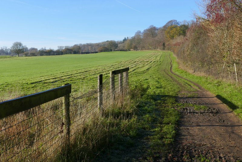
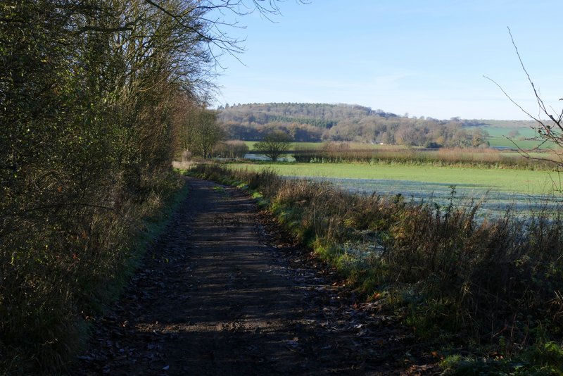
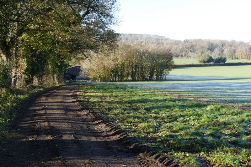
The bridleway continuing round the edge of a golf course
The bridleway continuing round the edge of a golf course
The bridleway continuing round the edge of a golf course
The path after I turned right from the bridleway
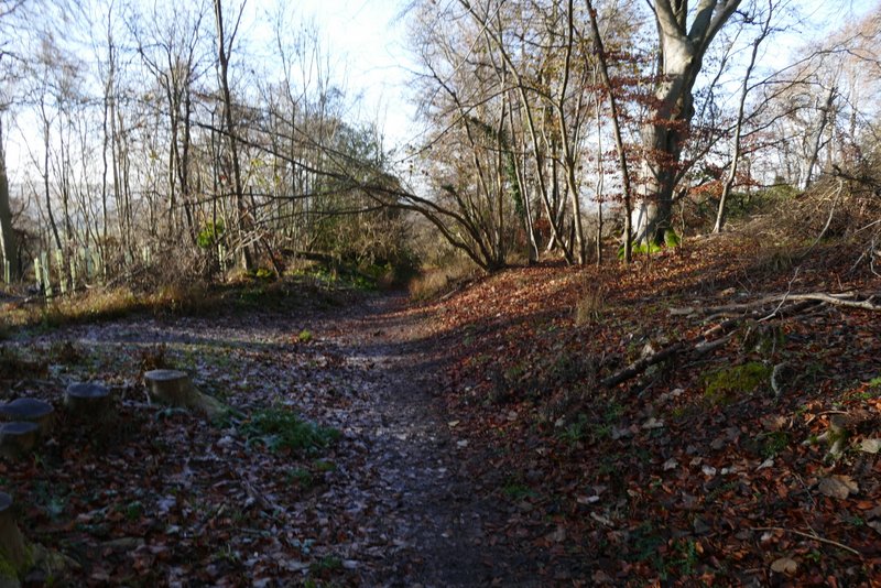
Further along the same path (where another path comes in on the left)
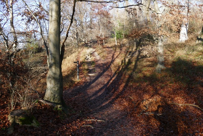
The path after I turned right, the start of the section along the Ridgeway national trail
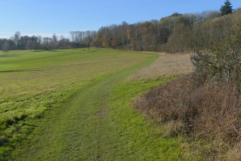
At the top of the steps the Ridgeway passed through part of the Aston Rowant nature reserve, where I had a nice view on my left. The Ridgeway then entered the woods at Aldbury Nowers, and continued through them for about half a mile.
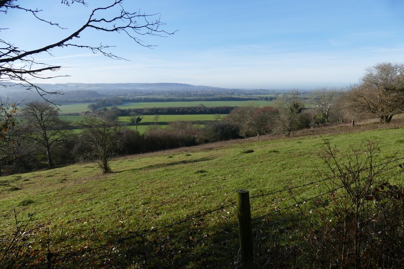
View from the Ridgway as it passes through the Aldbury Nowers nature reserve
The Ridgway as it passes through the Aldbury Nowers nature reserve
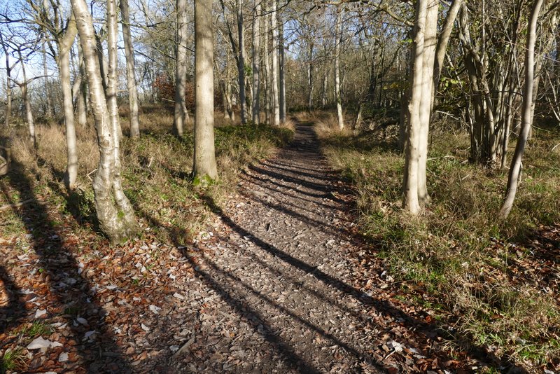
The Ridgway at passes through the wood at Aldbury Nowers
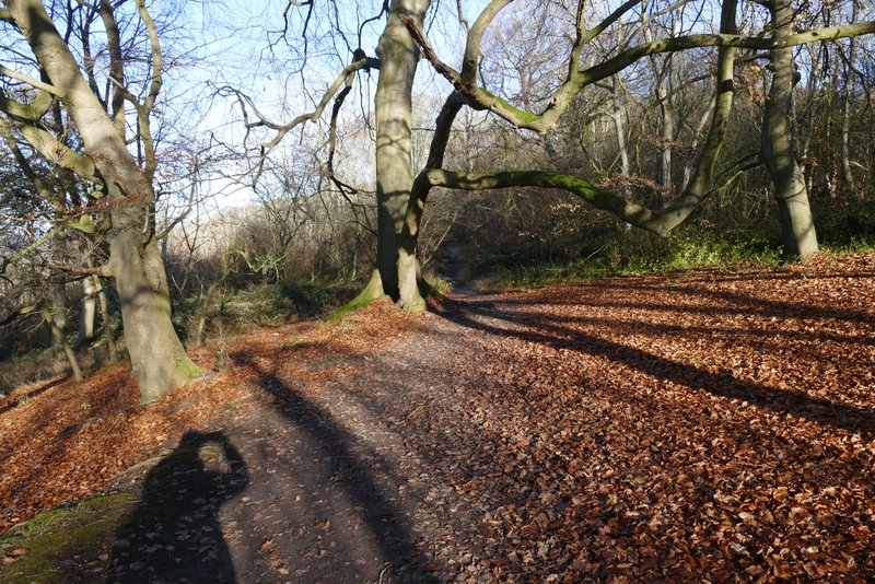
The Ridgway at passes through the wood at Aldbury Nowers
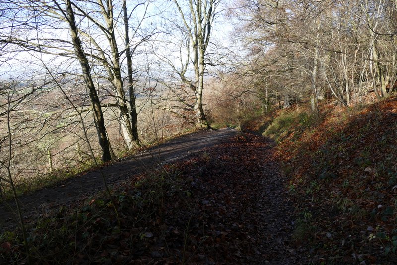
The Ridgway at passes through the wood at Aldbury Nowers
The Ridgway at passes through the wood at Aldbury Nowers
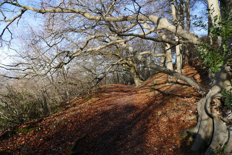
The Ridgway at passes through the wood at Aldbury Nowers