Pete's Walks - Ashridge Estate Boundary Trail - South (page 1 of 5)
If you are considering walking this route yourself, please see my disclaimer. You may also like to see these notes about the maps and GPX files.
On a couple of walks through Ashridge in Autumn 2025 I noticed some waymarks for the Ashridge Estate Boundary Trail that were out of place. I have walked that trail many times (and have created several of my own routes that incorporate sections of the trail), so I immediately knew the waymarks were not on that route. So I searched the internet to see if any changes had been made to the Ashridge Estate Boundary Trail, and discovered that the National Trust (who own the Ashridge Estate) have replaced that trail with the 'Ashridge Estate Boundary Trail - North' and the 'Ashridge Estate Boundary Trail - South' (click those links to see details of the new trails on the National Trust's website). The two new trails are circular (like the original trail) and share a common section of paths (about 0.9 miles long), so that they form a 'figure-of-eight'. The northern trail is 9 miles long (8.8 miles on my Google map) and the southern one 10.5 miles. So walking the 'figure-of-eight' would be about 19.5 miles, while just walking a circular route (omitting the common section twice) would be about 17.7 miles - I think the latter option probably makes more sense for what is meant to be a 'boundary trail'.
The new trails each seem to vary slightly from the route of the original Ashridge Estate Boundary Trail. The northern trail has extended the old route by visiting Aldbury Nowers and Pitstone Hill, while the southern trail takes a slightly shorter route through Northchurch Common (and has a couple of other minor variations). Only the two new trails are now waymarked (with Ashridge Estate Boundary Trail waymarks), so anyone wishing to walk the original trail needs to be aware that they can no longer just follow the waymarks. Click here to see my description of walking the old route in the clockwise direction, and click here for my description of walking it anti-clockwise.
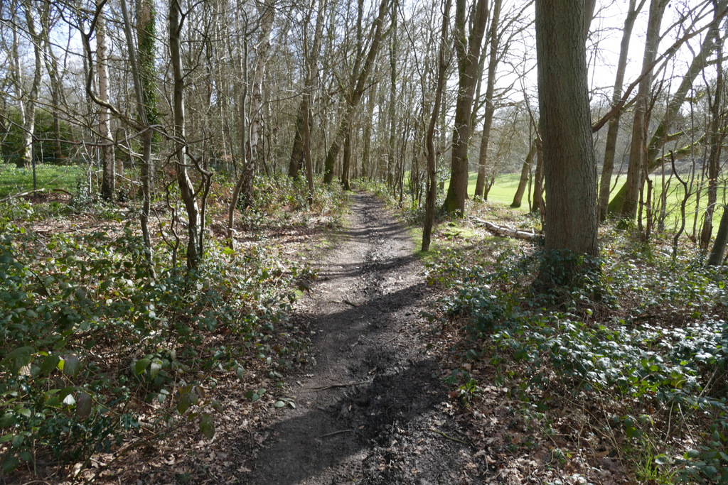
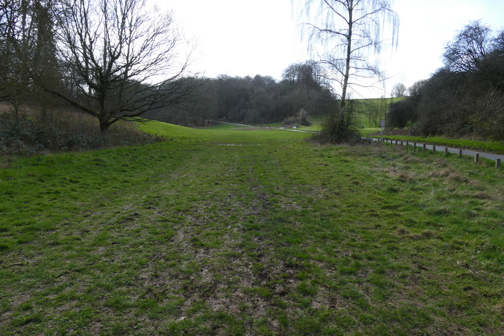
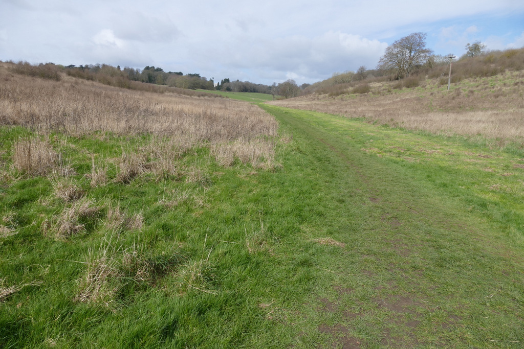
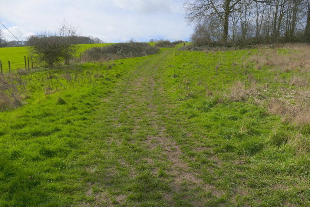
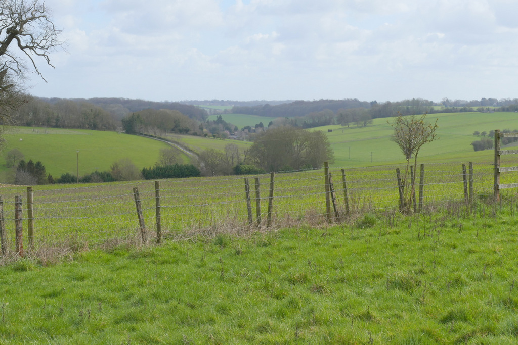
I did my first walk on the 'Ashridge Estate Boundary Trail - South' on Saturday, 14th March 2026. The official start of the 'Ashridge Estate Boundary Trail - South' is outside the cafe and visitor centre by the Bridgewater Monument. But the car park there was full and so were most of the spaces along the drive to the Monument. If I'd parked near the start of the drive it would have added about a mile to my walk, so instead I parked in the small car park off the B4506 just south of Ringshall (Grid Reference SP983137) which had been almost empty when I'd driven past it a few minutes earlier. I started walking about 10.40am, crossing the road and following a permissive path eastwards through a narrow belt of trees, between gardens on the left and part of the Ashridge golf course on the right (the route is indicated by white waymarks with a white footprint on a green arrow). The path was very muddy in places, a foretaste of what was to come (it wasn't surprising after such a wet winter). After a few hundred yards I went straight on at a path crossroads, initially with more garden boundaries on my left but then with woodland either side.
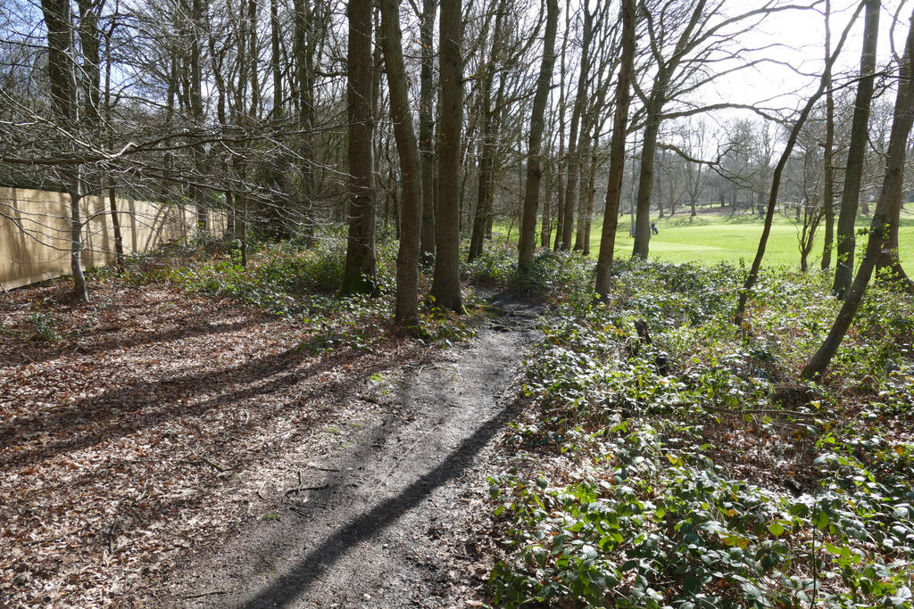
The permissive path going past Ashridge golf course
The permissive path going past Ashridge golf course
The permissive path continuing from Ashridge golf course
The permissive path continuing from Ashridge golf course
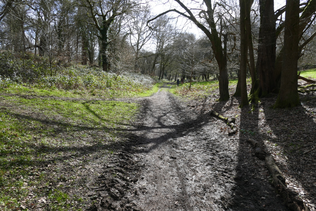
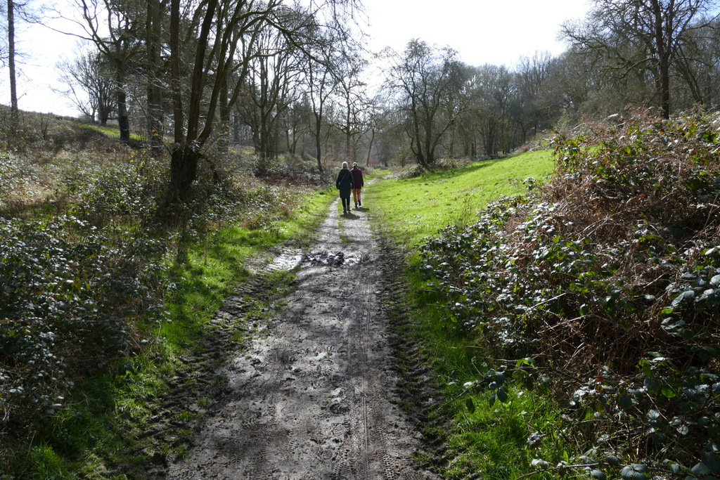
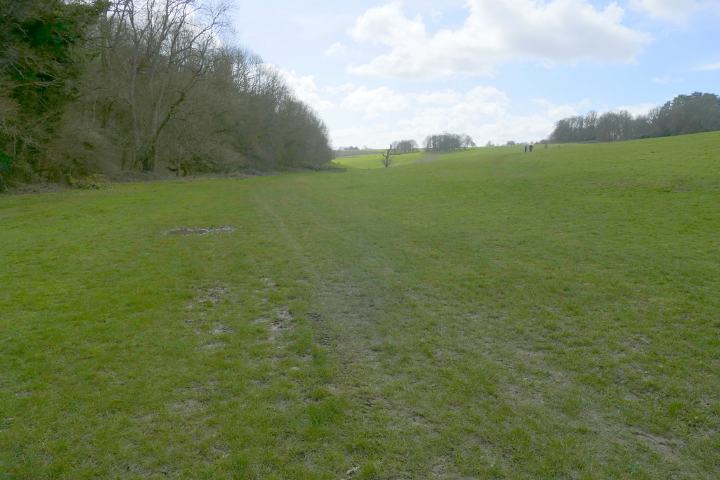
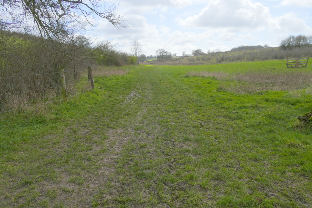
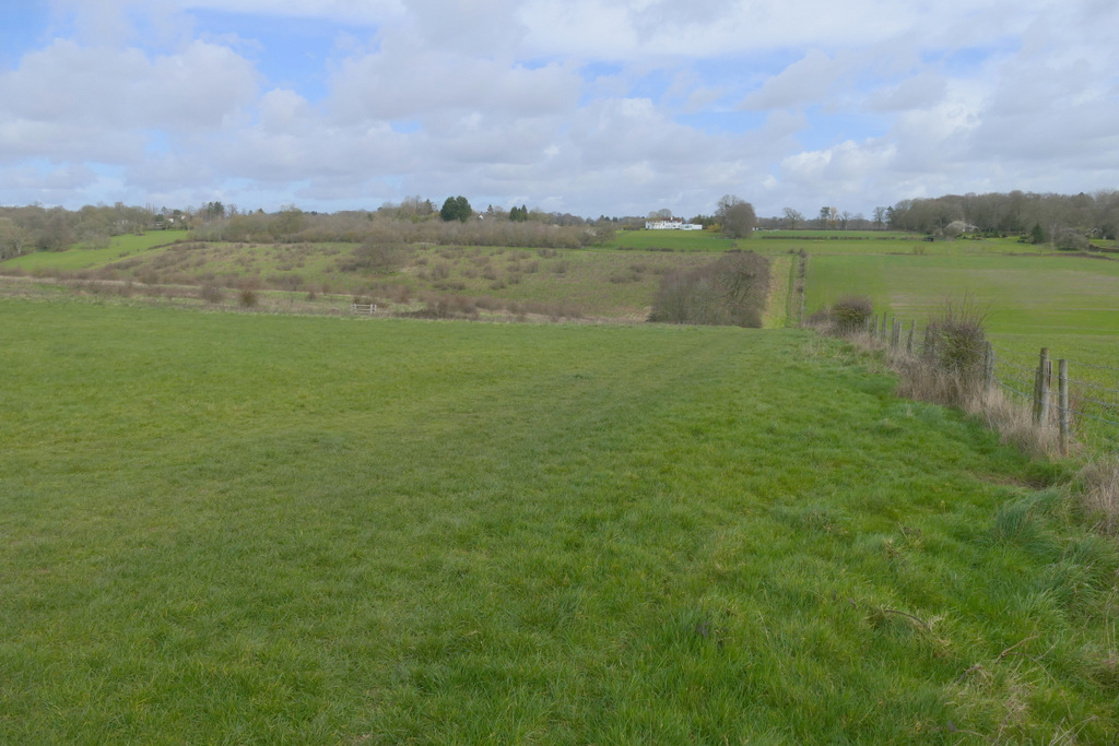
On reaching a drive to Ashridge House, I crossed over and continued along the permissive path as it followed the drive to the right for a short way and then curved left into Golden Valley. Here the valley was a swathe of short grass with woodland on the upper slopes either side (this landscape was designed by the renowned Lancelot 'Capability' Brown). I followed the bottom of the valley for several hundred yards. On reaching a crossing fence I went straight on (there was a stile and a gap in the fence). The wood receded on my right here, and as I continued along the valley in a large empty cattle pasture, I passed the end of the wood on my left. On eventually reaching another crossing fence and hedge, I turned right and followed the fence uphill. At the top of the slope the fence turned left, and I also turned left, gradually moving slightly away from the fence as I headed towards a small wood named Webb's Copse.
The permissive path approaching Golden Valley
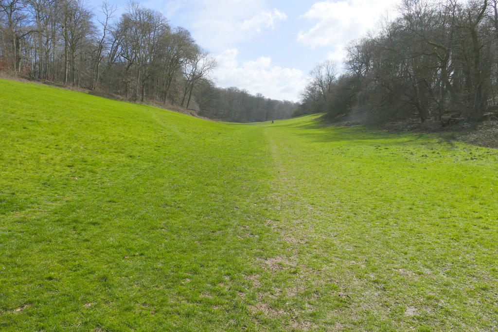
Golden Valley
Golden Valley
Golden Valley
Looking back along the Golden Valley
The permissive path going up the side of Golden Valley after turning right
View back across Golden Valley
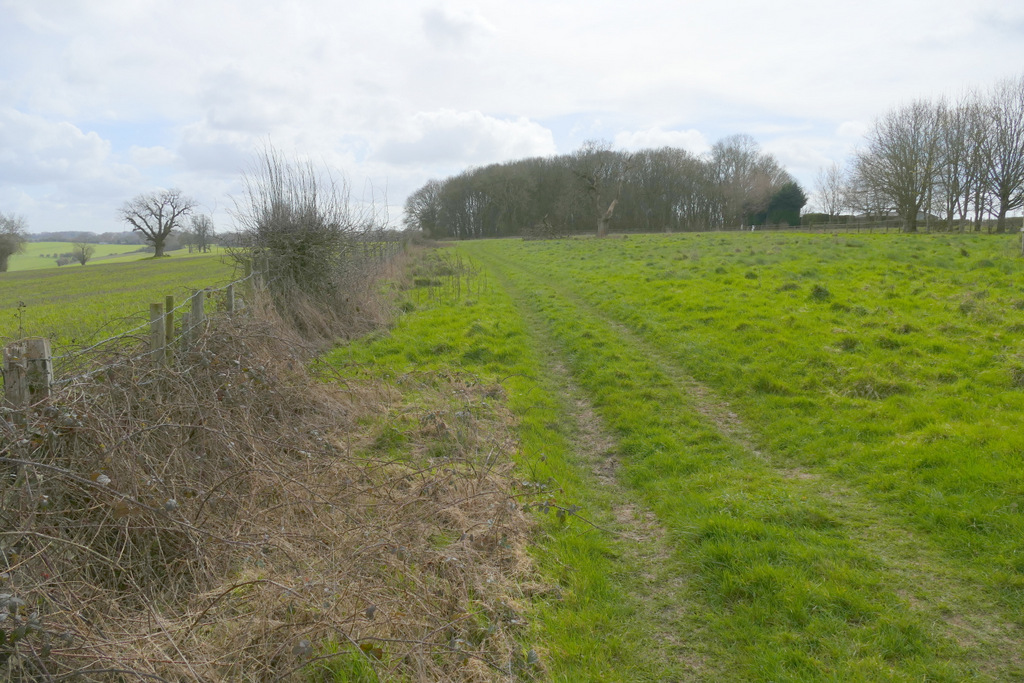
The path after it turns left, heading to Webb's Copse
View towards Nettleden, just before Webb's Copse