Pete's Walks- Wigginton and Drayton Wood (page 2 of 2)
Across Shire Lane a path led through a small wood then went diagonally (half-left) across a corn field to reach the start of a line of trees marking part of the course of the ancient earthwork called Grim's Ditch. I just followed the path past the near end of the trees, then went half-right across another corn field. This took me to a track called Browns Lane which I then followed left to reach a road junction in the hamlet of Hastoe.
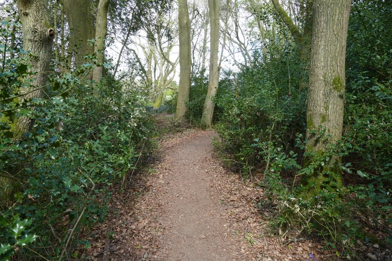
The small wood after recrossing Shire lane
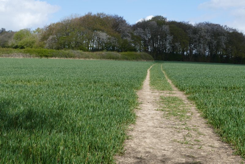
The path continuing to the line of trees along part of Grim's Ditch
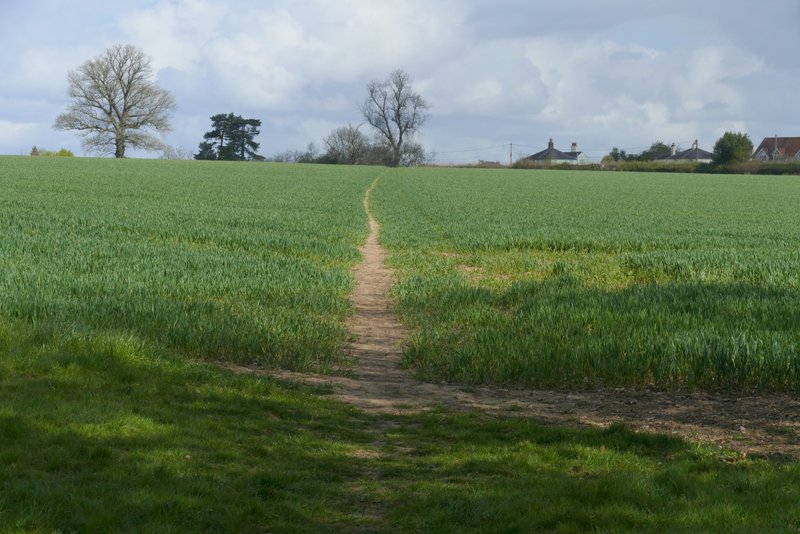
The path from near Grim's Ditch going north to Browns Lane, Hastoe
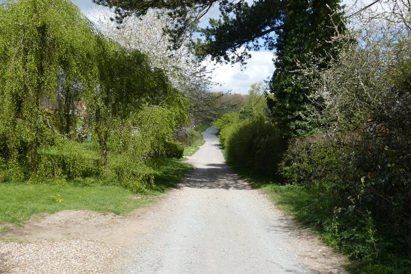
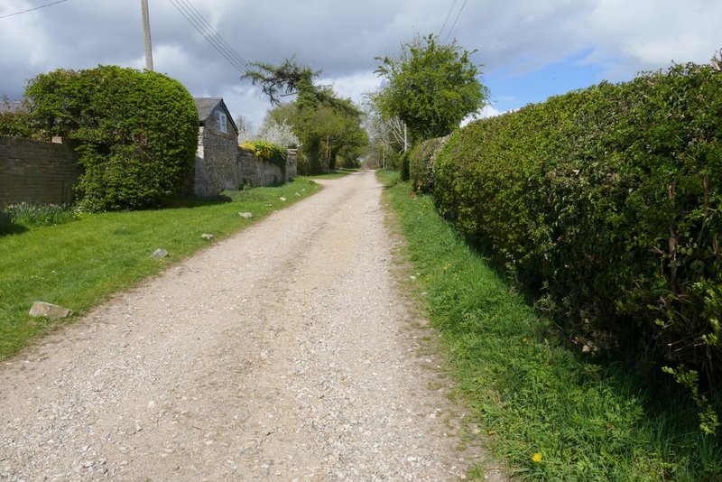
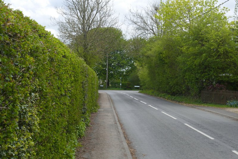
Browns Lane, Hastoe
I went a few yards left and took a private drive on the other side of the road. This ended at a cottage where public byways went either side. I took the one on the right, but immediately turned right again onto a footpath. Within a few yards I came to a junction where I forked left to go deeper into Grove Wood. After a few hundred yards I went more or less straight on where this path merged with one coming in from the left. After some way the path ran along just inside the edge of the wood on my right. At a waymark on a post, I went a few yards right to exit the wood, then turned left alongside what was now Stubbing's Wood.
The private drive, Hastoe
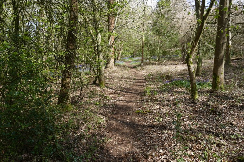
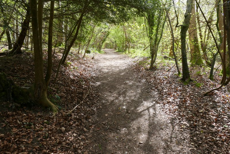
The path in Grove Wood, after I forked left
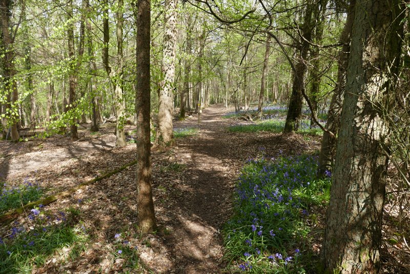
Further along the same path (approaching where I went straight on at a path junction)
The footpath in Grove Wood, heading northeast
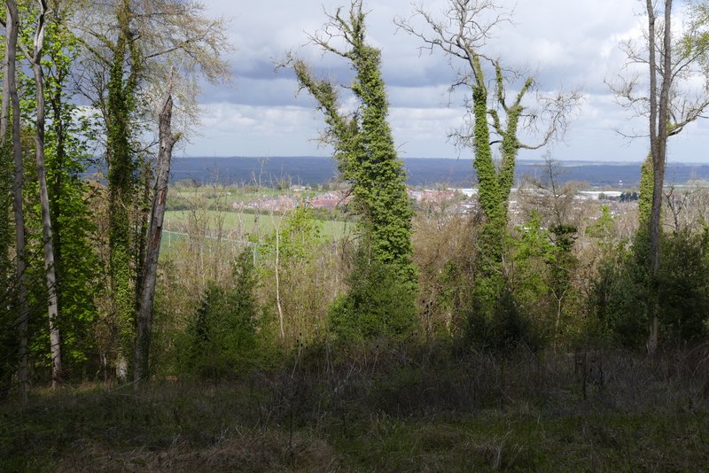
View left from the woods
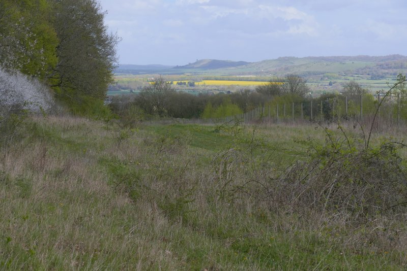
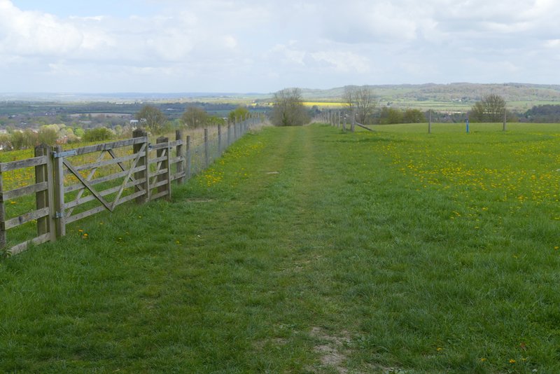
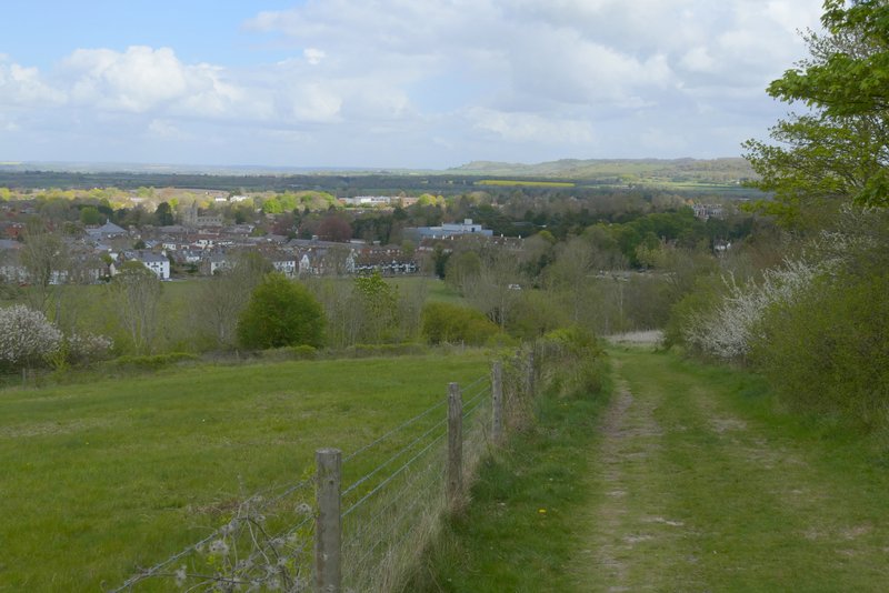
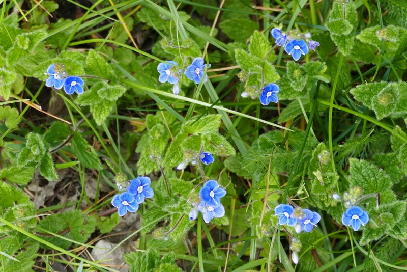
I continued along the path, now approaching the brow of a hill with Ivinghoe Beacon dead ahead. The path dropped steadily downhill, soon with a tall hedge nearby on the right. Towards the bottom of the hill the path turned right, with the A41 dual carriageway down in a cutting on the left. The path led to a lane close to the edge of Tring (to my left) and on the opposite side a short permissive path led through a meadow into Tring Park - saw my first Germander Speedwell of 2026 here.
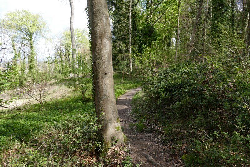
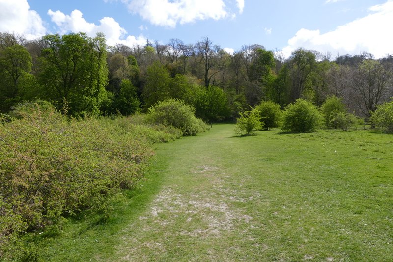
The footpath along the edge of Stubbing's Wood
The path starting to descend towards Tring, Ivinghoe Beacon in the distance
The path continuing to descend towards Tring
The path continuing to descend towards Tring
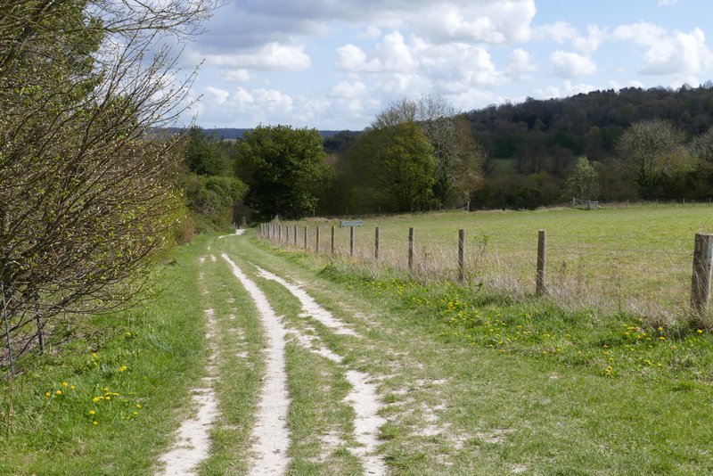
The path continuing towards Tring Park (the A41 dual carriageway is over the boundary on the left)
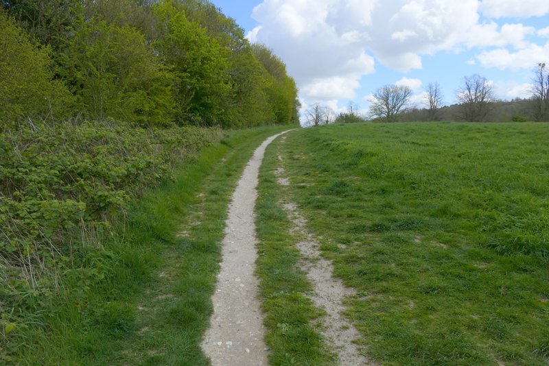
The permissive path approaching Tring Park
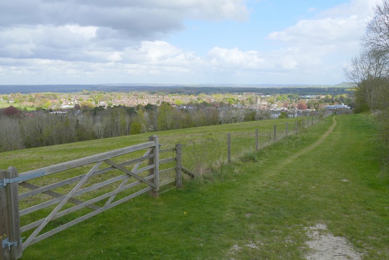
Straight away I passed the end of a footbridge over the A41 on my left, and a few yards further on took a path going half right across the park (this was the furthest of two paths starting at almost the same point), aiming towards an obvious chalky white scar in the grass. This was a very pleasant section, with nice views over the park. On reaching the trees on the far side of the park, I went through a gate and followed a path that climbed half-left to reach an Obelisk. Five paths led off from here, I took the second one on the right (second one counting anti-clockwise) which led uphill to another path junction within sight of a gate (to the left) leading from Tring Park into Wigginton. Beyond some cottages, I turned right and followed the road (Fox Road) through the village to a sharp turn to the left. Here I crossed over and turned left along the edge of a playing field, turning right in the corner. I then followed a short street to its end, crossed another street and followed the path ahead back to the car park where I'd started.
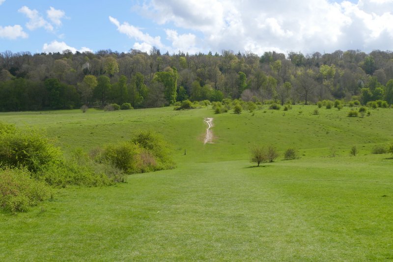
The path through Tring Park
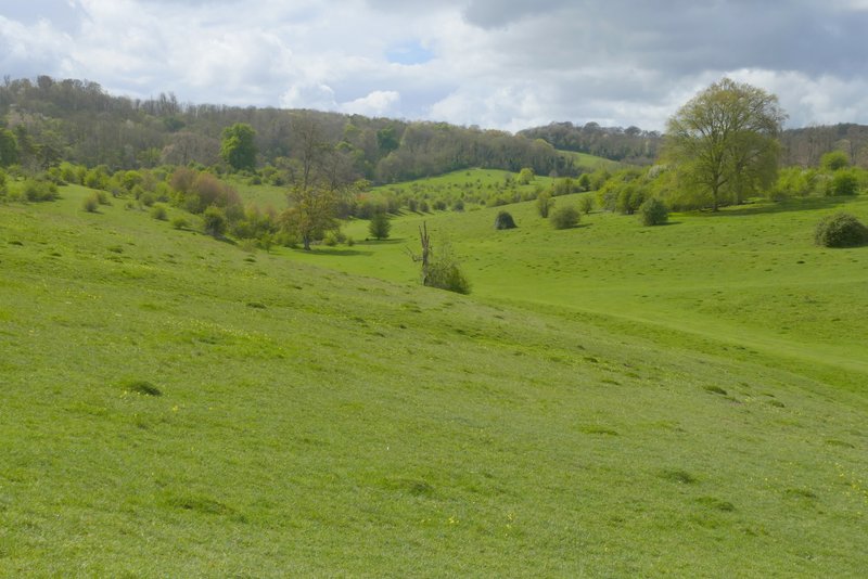
Tring Park
The path through Tring Park
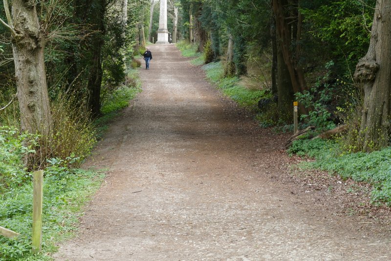
The path rising through the trees to the Obelisk
The path rising southwards from the Obelisk
Fox Road, Wigginton
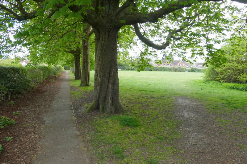
The first playing field in Wigginton - I turned right in the corner
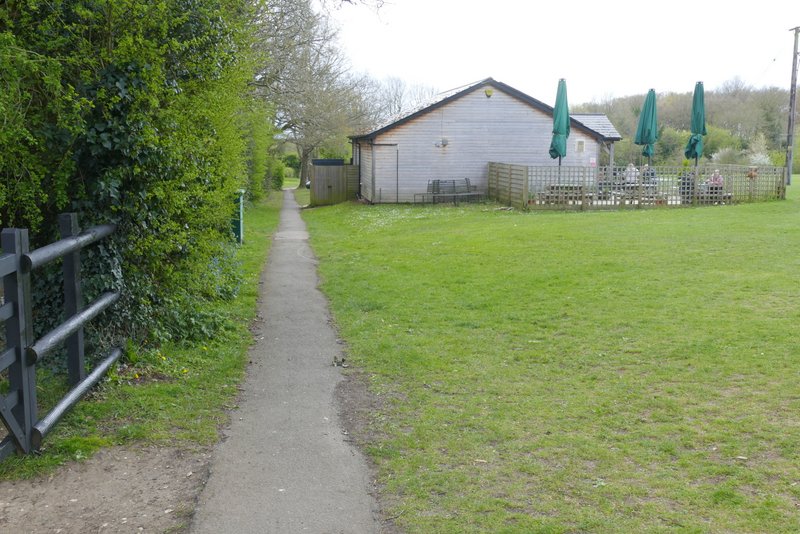
Approaching the Village Shop and car park, Wigginton
As always this was a very pleasant walk, and quite undemanding with just one bit of uphill near the end. The early part of the walk is mainly in woods, on the way back the section from Stubbing's Wood and through Tring Park is very good.