Pete's Walks - Hambleden, Medmenham, Colstrope (page 5 of 6)
If you are considering walking this route yourself, please see my disclaimer. You may also like to see these notes about the maps and GPX files.
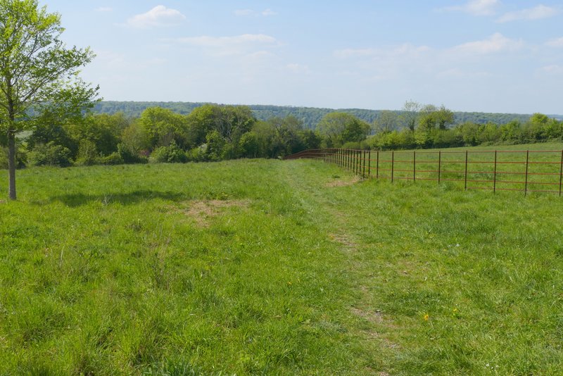
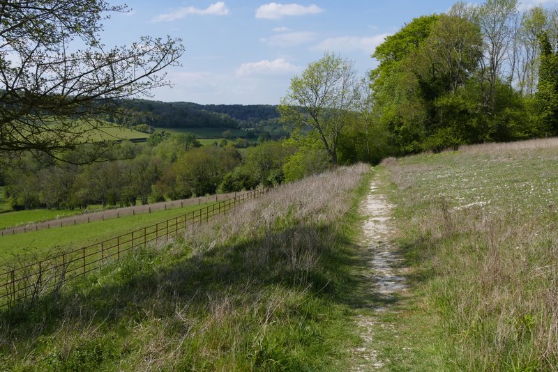
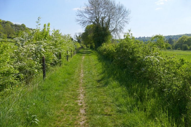
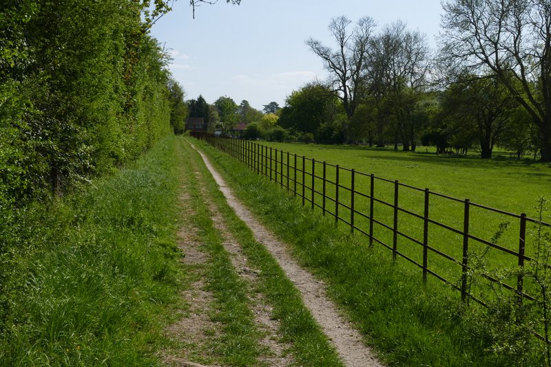
As I followed the lane through the hamlet of Pheasants I soon passed a pond on my left. I stayed on the lane when a footpath went right (initially along a gravel driveway), then a hundred yards or so further on I took a second footpath that forked half-right from the lane. It followed an old metal fence on my right then, after passing through a small area of bushes, it turned left along a track running between a hedge and fence on my left and another old metal fence to my right. The track was heading gently downhill towards the Hambleden Valley, so there was a nice view ahead of me. After I while the fence on my right ended, and in the next field corner the path turned right. In the next corner it went straight on through a wood called Bagmoor Shaw. I soon reached a track on the other side of the wood, by a property named The Hyde on the OS map, where I turned left. I followed the track as far as where a footpath crossed it, where I again turned left, back on more familiar territory now as I briefly rejoined the route of the Chiltern Way. I followed the path southwards through the Hambleden Valley for about half a mile to reach Colstrope, where I continued along the lane through the hamlet.
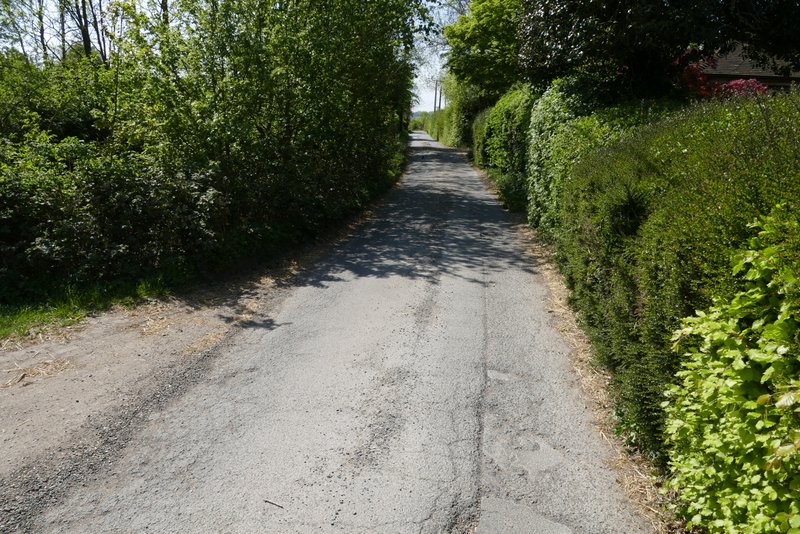
The lane through Pheasants
Near the start of the path after I forked right from the lane through Pheasants

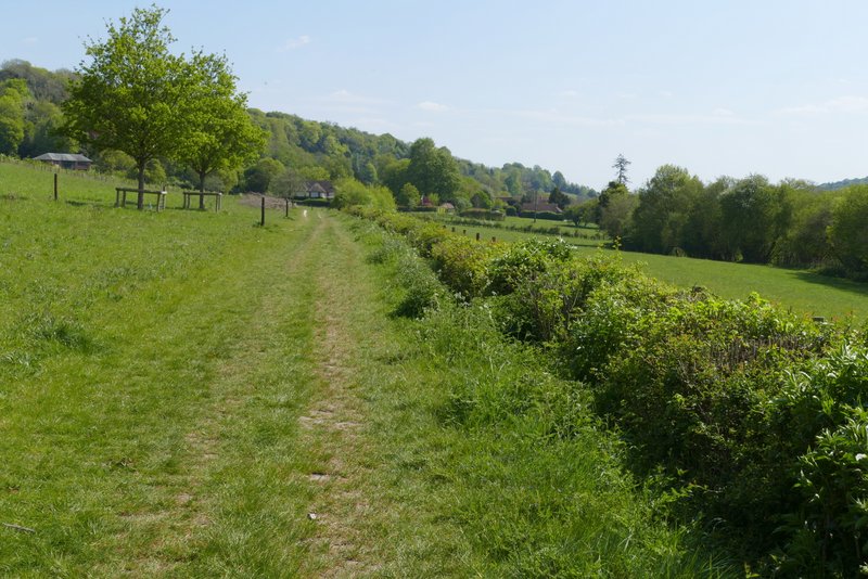
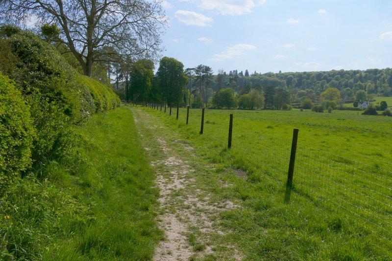
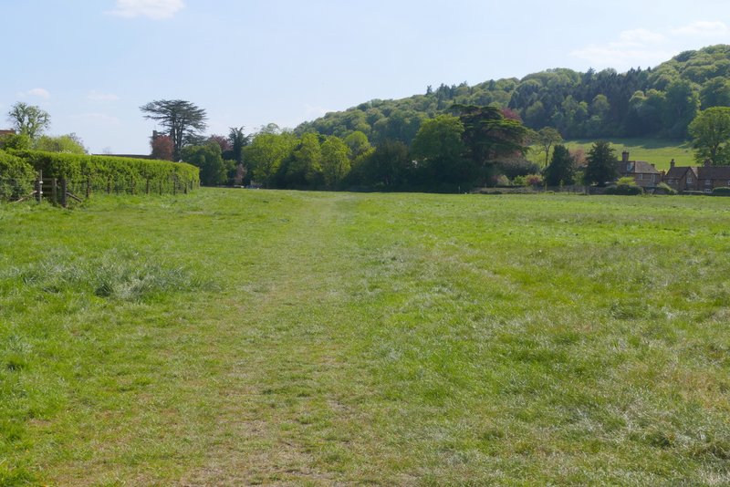
Further along the path, now descending towards the Hambleden Valley
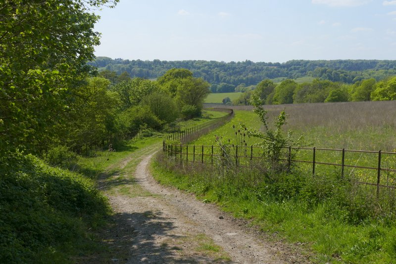
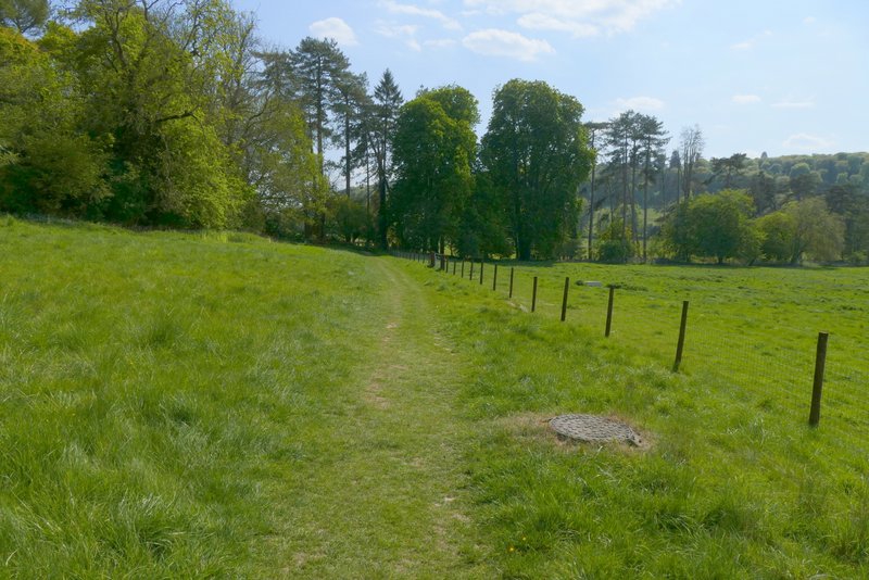
Further along the path
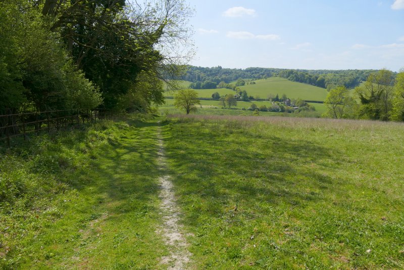
Further along the path
The path continuing after it went right
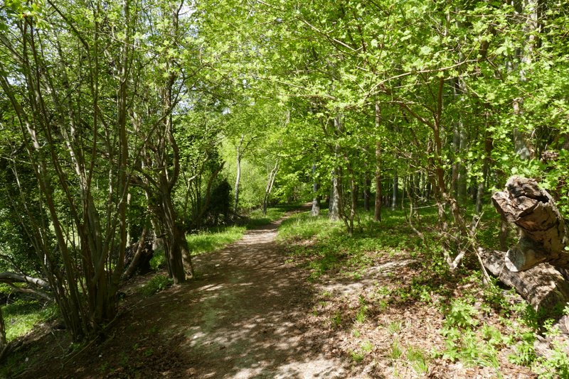
The path continuing through Bagmoor Shaw
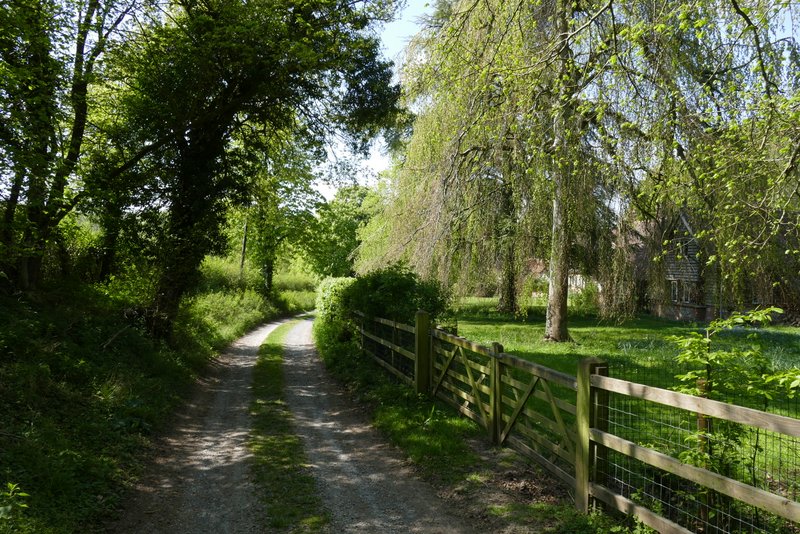
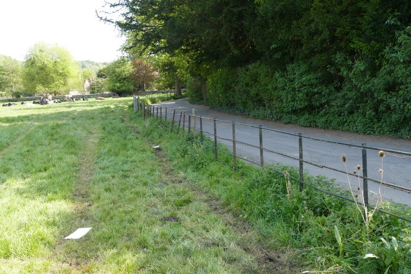
The lane near The Hyde
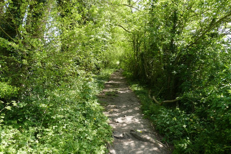
Start of the section along the Chiltern Way, heading to Colstrope
The Chiltern Way, approaching Colstrope
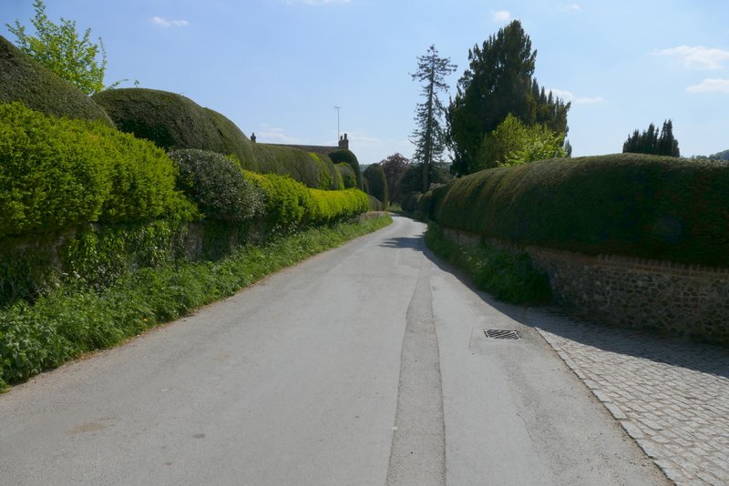
The lane through Colstrope
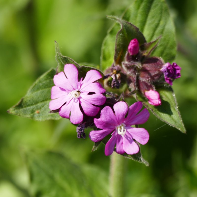
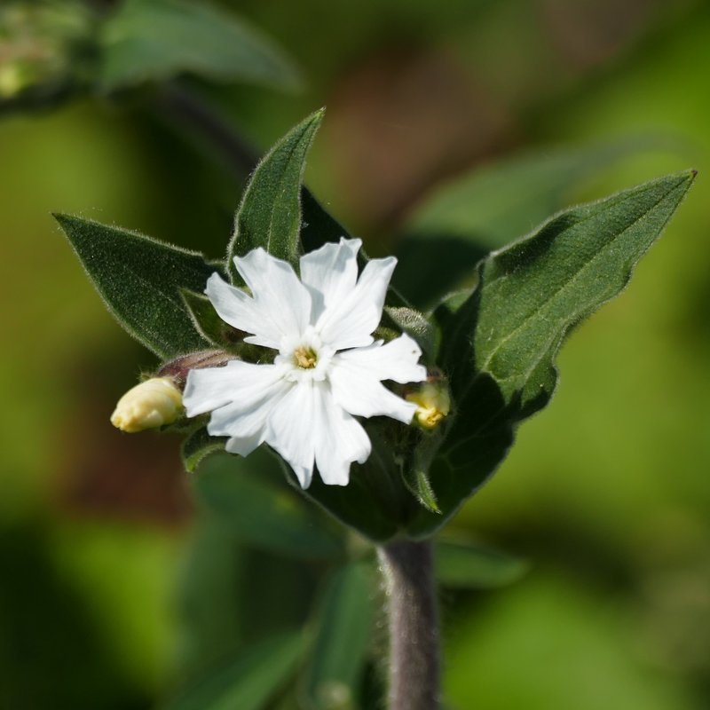
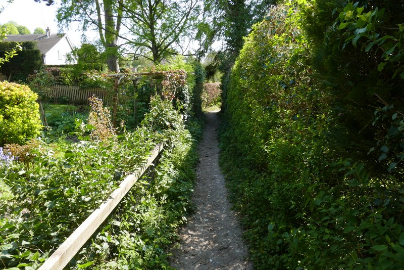
Immediately after the lane turned right, I left my Hambleden, Medmenham, Colstrope, Fawley route by going through a gate on the left to continue along the Chiltern Way as it made its way down the Hambleden valley. I soon spotted both some Red Campion and some White Campion growing here. The path ran between fences or hedge either side for several hundred yards. It then entered a pasture, where I followed the hedge on my left and soon entered Pheasants. The path continued straight on, rather unusually dividing a number of gardens in half. The path then ran along the right edge of a small paddock, passed through a belt of conifers, and continued through a couple of large empty pastures. In the second pasture it eventually curved right to reach a lane in Hambleden, where I just needed to turn left to return to my car But I actually first went right a few yards to a bridge, toe get a photo of the Hamble Brook).
The path heading south from Colstrope
The path heading south from Colstrope
The path now approaching the Pheasant's Hill
The path continuing between gardens at Pheasant's hill
The path at Pheasant's Hill
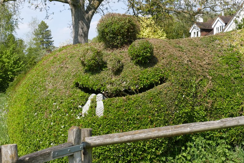
The man-eating hedge at Pheasant's Hill
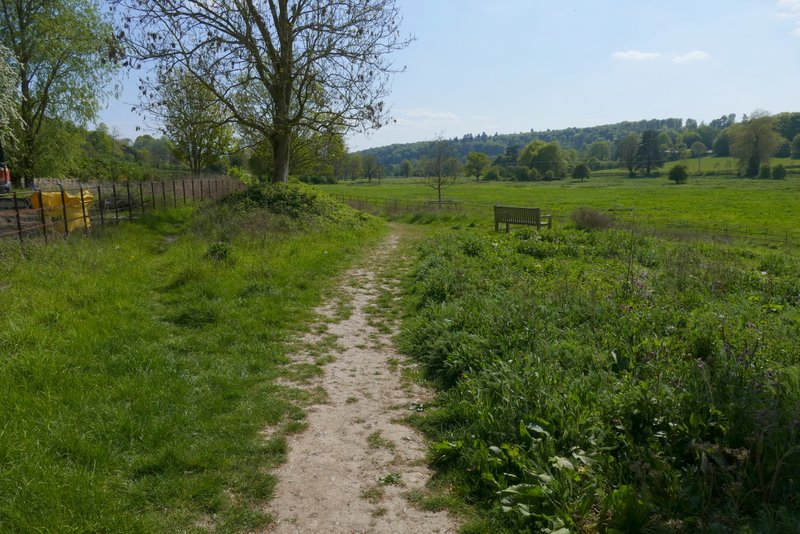
The path continuing from Pheasant's Hill to Hambleden
The path continuing from Pheasant's Hill to Hambleden
The path continuing from Pheasant's Hill to Hambleden
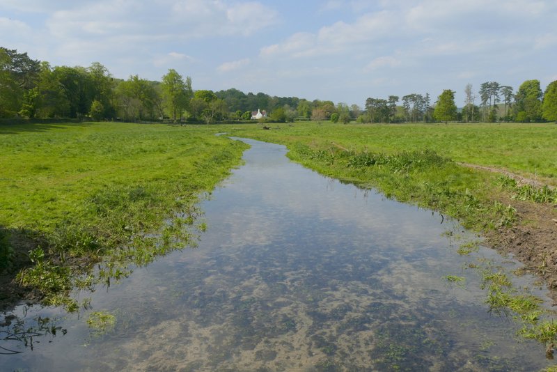
The Hamble Brook at Hambleden
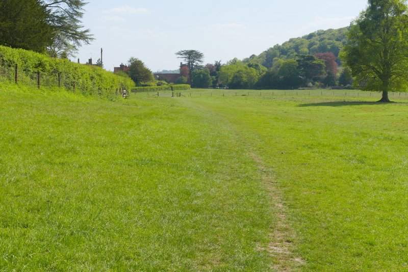
Approaching Hambleden
This was another really good walk, on another glorious Spring day. The route was a good mixture of woods and fields, with plenty of nice views to enjoy. It was fairly flat though, with only three uphills and downhills. The last downhill, dropping down to the Hambleden valley from Pheasants, was particularly fine with a very nice view over the valley ahead.