Pete's Walks - Bradenham, Speen, Hughenden (page 1 of 5)
If you are considering walking this route yourself, please see my disclaimer. You may also like to see these notes about the maps and GPX files.
I did this circular walk of about 10.9 miles on Saturday, 15th August 2026. It was a repeat of walk I did in February 2024.
I started walking about 9:35am, from the small car park in Bradenham (Grid Reference SU 827970). I crossed the green, passing in front of Bradenham Manor (which was surrounded by scaffolding) and the village church, and then turned right along the road that runs through the village. It soon left the village, and continued rising gently uphill. Where it bent right, I took a path on the left that started through a gap in a hedge (just after a very short section next to a wood). The path crossed an empty paddock to reach a wood called The Coppice - this looked very gently uphill to me, but when I looked back it was steeper than I'd thought (though still not very steep). The path continued through the wood, going right at a T-junction and then immediately forking left. After several hundred yards it came back to the same road I'd just followed. Across the road the path continued through more of The Coppice - I soon forked left (obeying a white arrow on a tree, though the right fork seemed a better used path) and then turned left where a path came in sharply from the right. The path then went down an alley between gardens, then I continued straight on down a side street to reach the road through Walter's Ash.
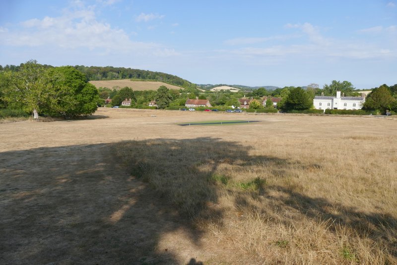
Bradenham
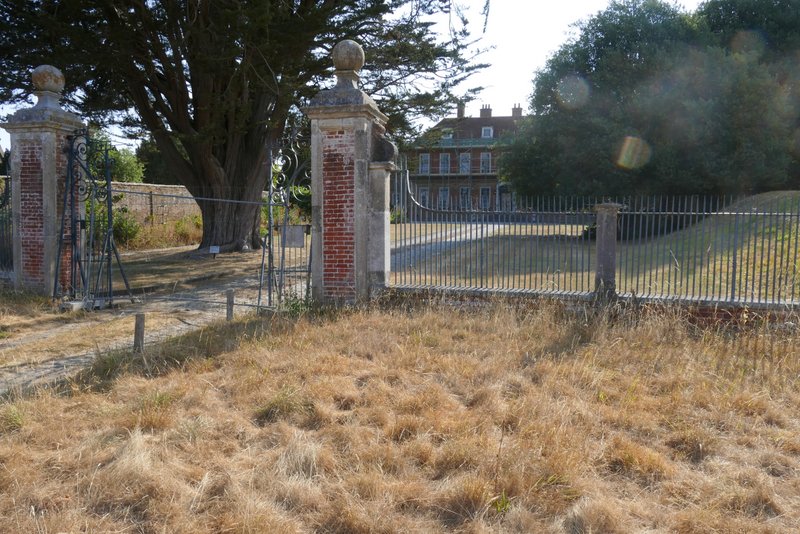
Bradenham manor (enclosed in scaffolding at the moment)
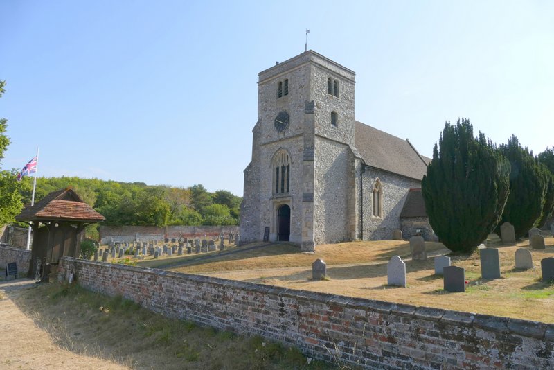
Bradenham church
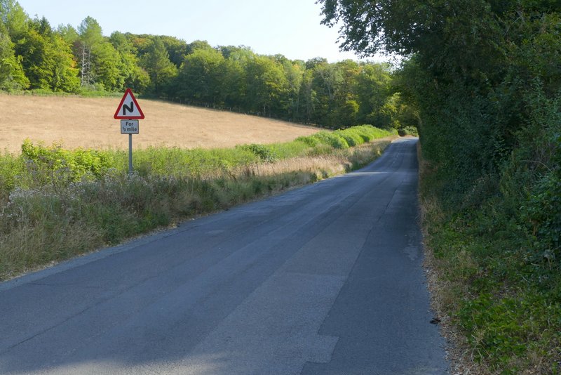
The road from Bradenham (I took a footpath on the left roughly where the road goes out of view)
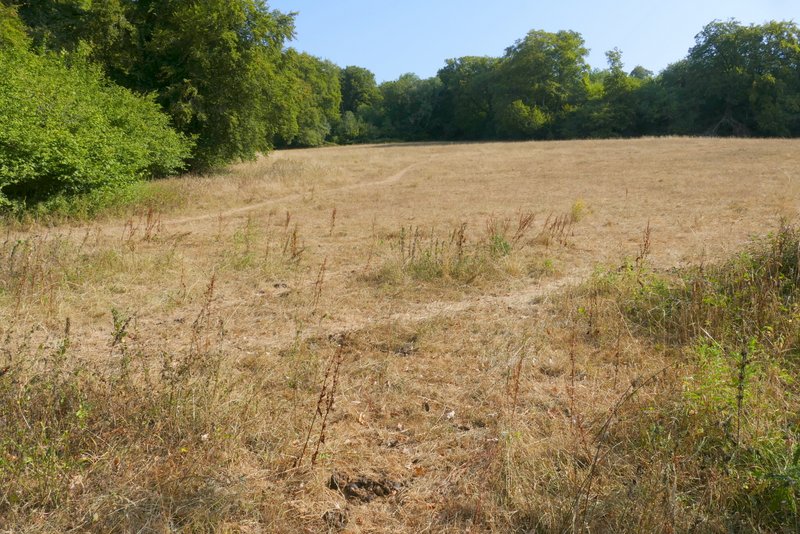
The footpath after I turned left from the road - it doesn't look steep here ...
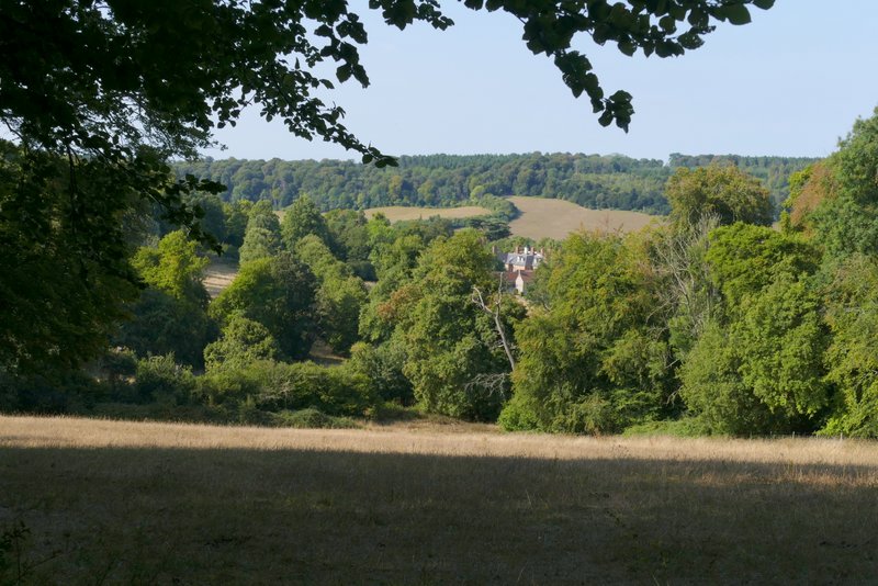
... but this shot looking back from where the path enters the wood gives a more accurate impression
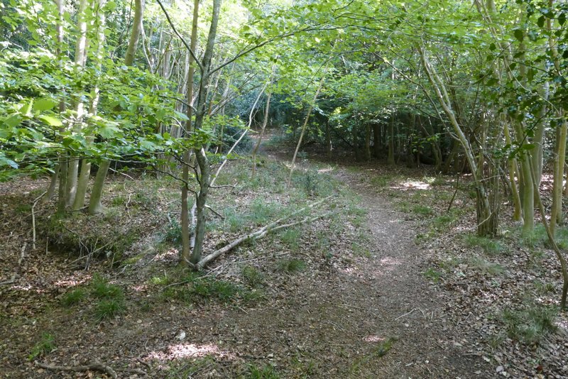
The path continuing through The Coppice

The path continuing through The Coppice
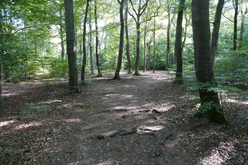
The path continuing through The Coppice, after crossing the road (I forked left in the centre of this shot)
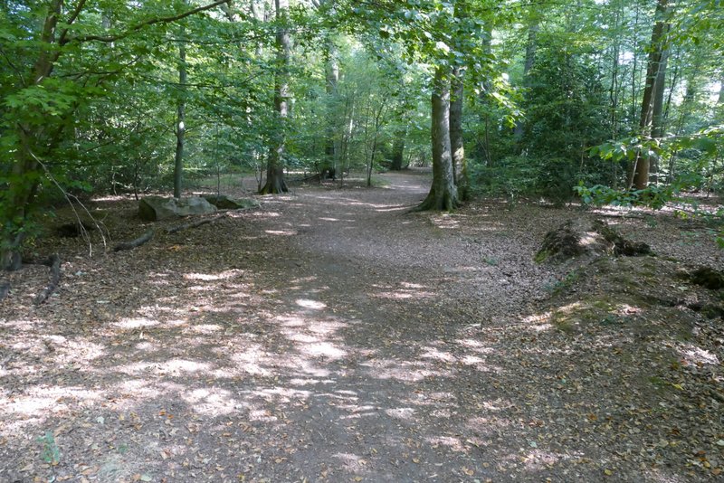
The path continuing through The Coppice
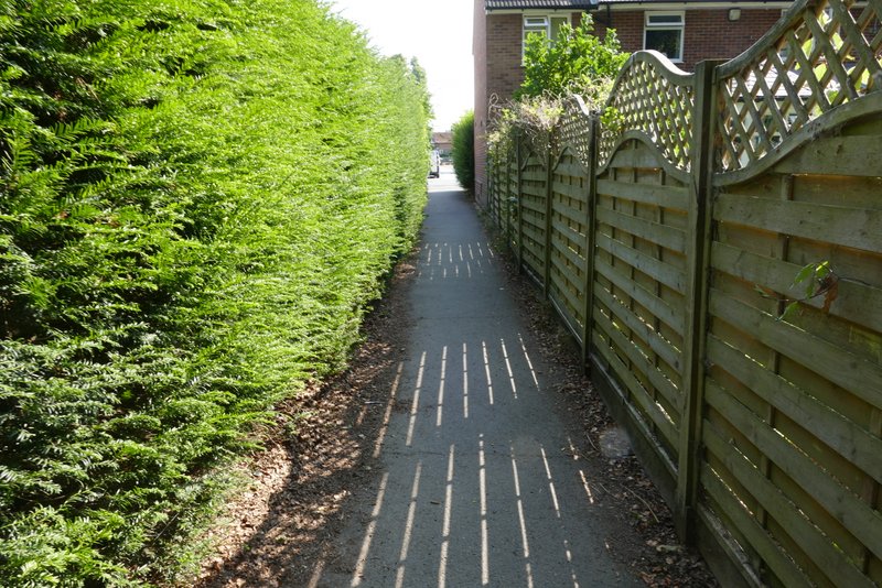
The alley entering Walter's Ash
I turned left along the road, and took the second footpath on the right (the first started down a side road I had to cross, there was no footpath sign here). This went down a hedge-lined track a short way until it ended at a drive or private road. I turned right along the drive, and when it turned left I took a footpath going straight on (this seemed to immediately fork but the forks came together after a few yards). Soon the path was running along the edge of a field of stubble, with a housing estate over the hedge on my right. Shortly after going past a solitary tree a little distance into the field on my left, I saw where the path started to cross the field of stubble. The path crossed the field to where, most unusually, a hedgerow started in the middle of the field, then continued along the far side of the hedgerow for a while. It then turned half-left to rise gently uphill to reach a corner of the field. I then went through a pedestrian gate and followed a wire fence on my right quite steeply downhill - there were views on both sides along an attractive valley. Beyond this field the path followed the right edge of a huge paddock to reach a path junction in the valley bottom.
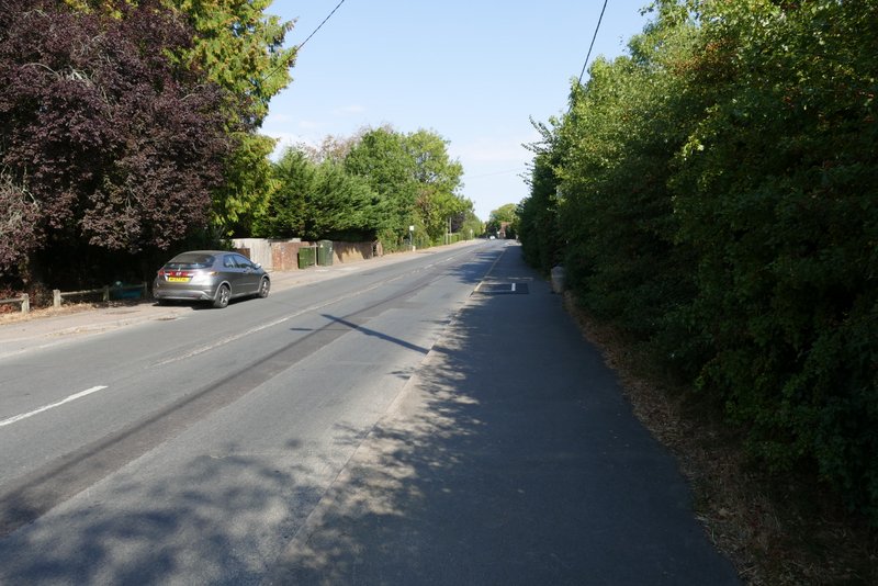
The road through Walter's Ash
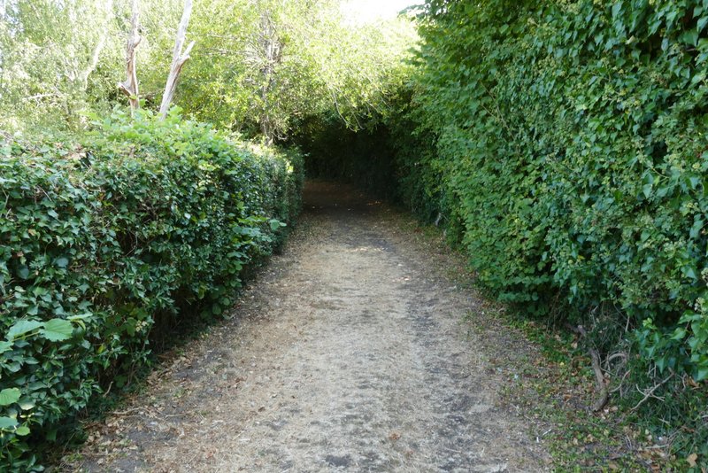
The start of the footpath through Walter's Ash
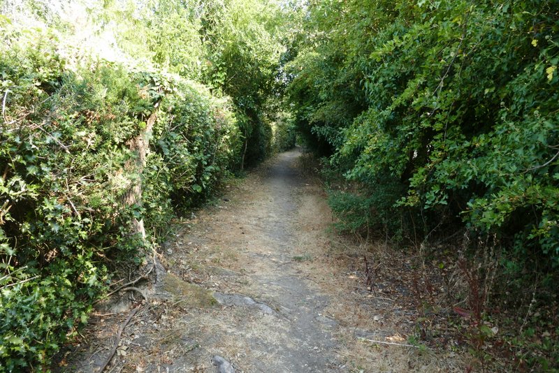
The path through Walter's Ash
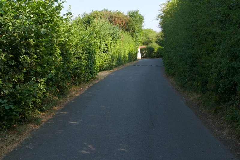
The path through Walter's Ash
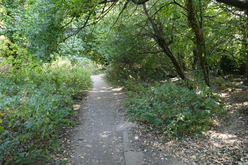
The path from Walter's Ash from where it leaves a drive or private road
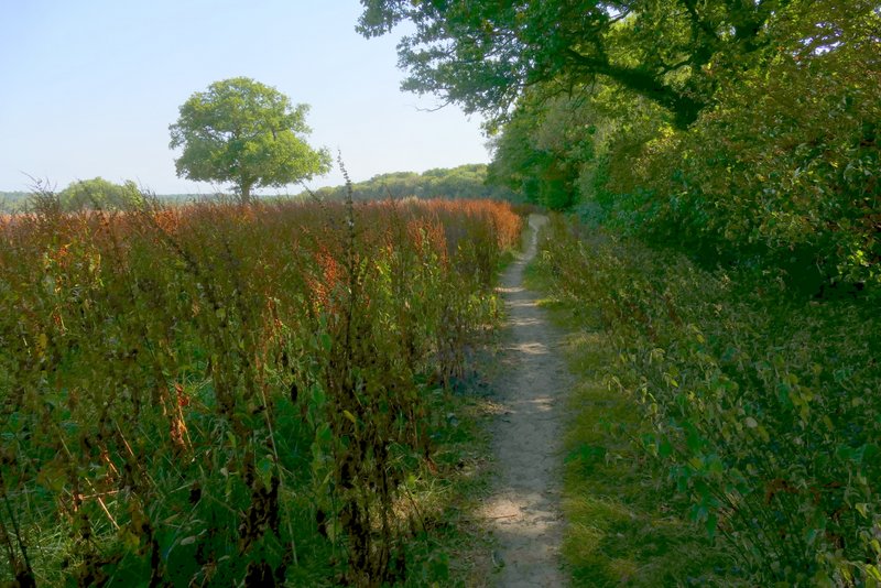
The path from Walter's Ash
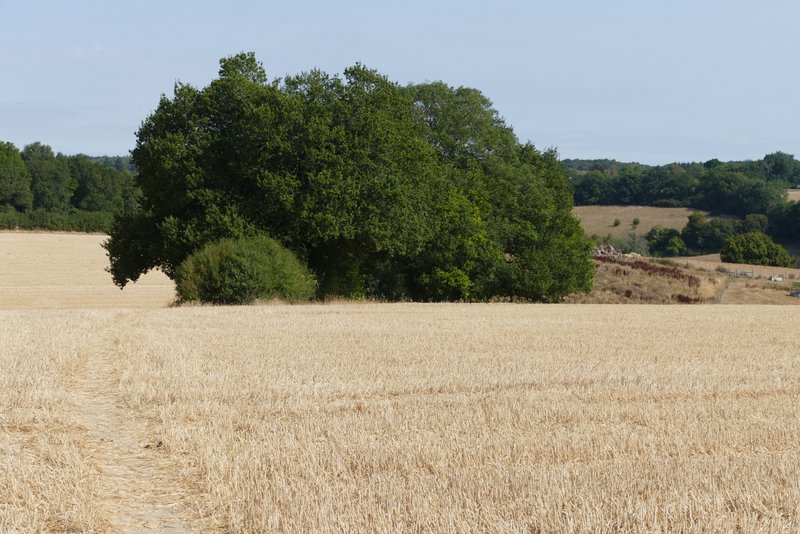
The path from Walter's Ash, where it starts to cross a field
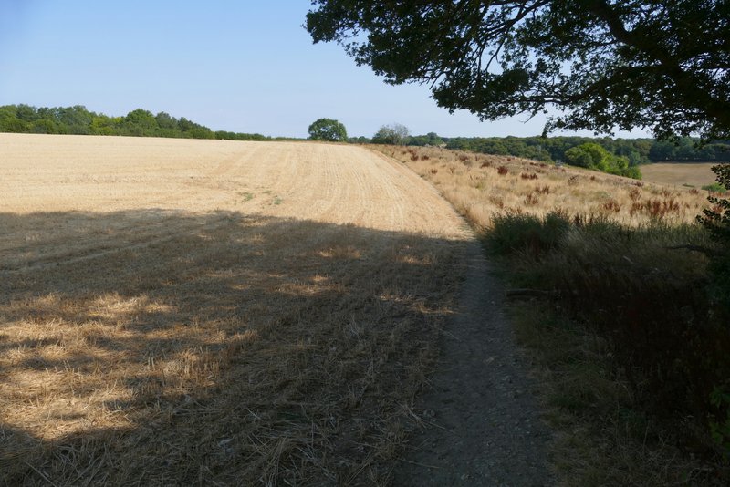
The path from Walter's Ash
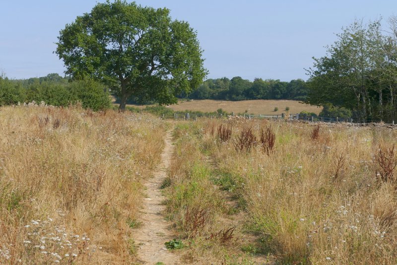
The path from Walter's Ash
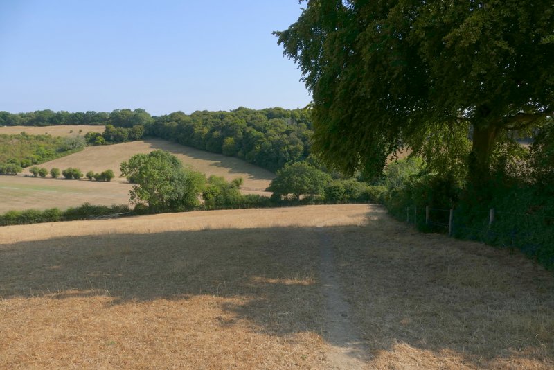
The path from Walter's Ash
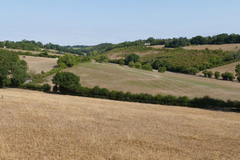
View left from the path from Walter's Ash
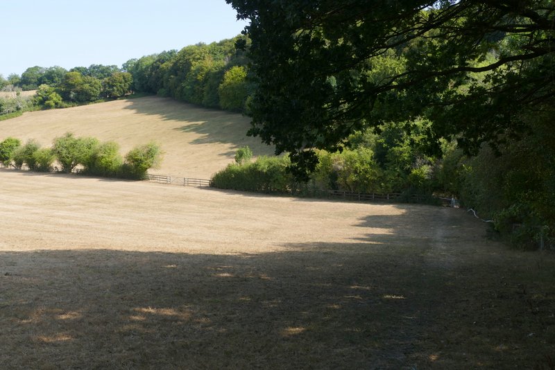
The path from Walter's Ash