Pete's Walks - Bradenham, Speen, Hughenden (page 2 of 5)
If you are considering walking this route yourself, please see my disclaimer. You may also like to see these notes about the maps and GPX files.
So far I'd only walked this way once before, but I was now back on familiar territory as I took a path going half-left rising fairly gently uphill beside a wood called Guy's Spring on my right. Beyond the wood the path continued beside a hedgerow on my left, still rising gently for a short while before levelling out. When I reached a crossing track, I had to go a few yards left and then go through a metal kissing-gate on the other side to continue along the path, with the village of Speen now to my left. After a while the path became an alley between gardens and ended at a private road. I went a short way left to reach the road through Speen, where I turned right.
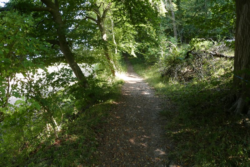
The path continuing uphill past Guy's Spring
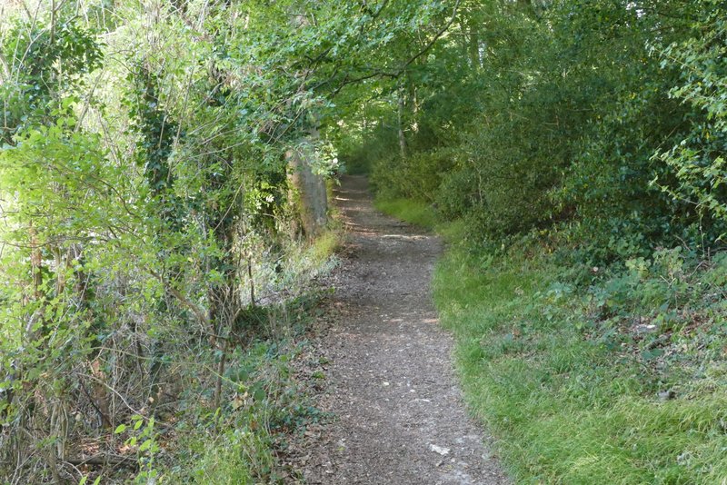
The path continuing uphill past Guy's Spring
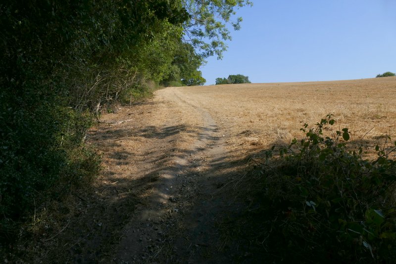
The same path approaching Speen
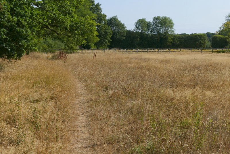
The path on the edge of Speen
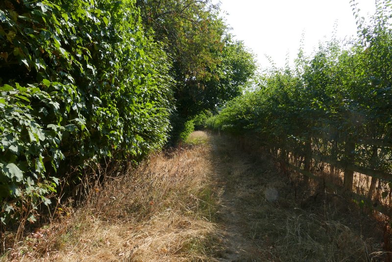
The path on the edge of Speen
I followed the road until I reached Spring Coppice Lane, coming in on the left. A few yards along the lane a footpath started, crossing a small paddock or pasture and then a much larger field (with a nice view along the valley on my right). The path then continued along a short track to reach a wood. Just a few yards into the wood I came to a path junction, where I went over a stile on the right, leaving the wood and entering a large pasture or paddock. The path (which I'd only walked once before) followed the edge of the wood for several hundred yards, again with nice views of the valley. The path then re-entered the wood. It soon came to a waymark post, where a path went sharply left (an unofficial path cut a corner here, going left a few yards before the waymark post). A short way along this path (just before some wooden barriers either side of the path) I turned right (I can't remember whether there was a sign or waymark at this junction) to reach a gate or stile on the edge of the wood. The path then went half-left across a paddock to a gate in a hedge and then continued in the same direction across another paddock to a stile in a corner.
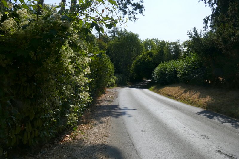
The road through Speen
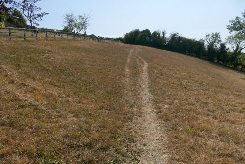
The path from Speen
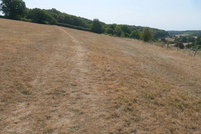
The path from Speen
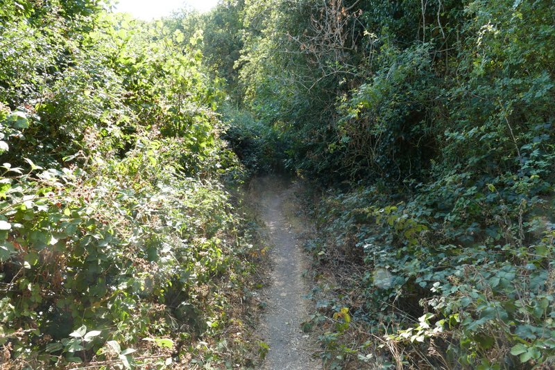
The path from Speen
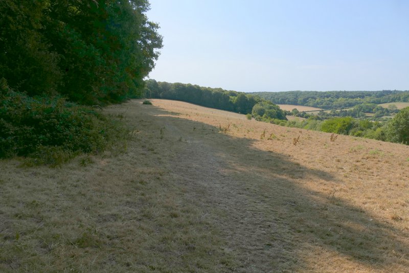
The path from Speen
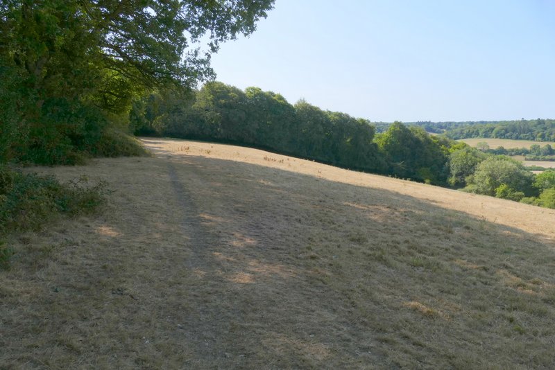
The path from Speen
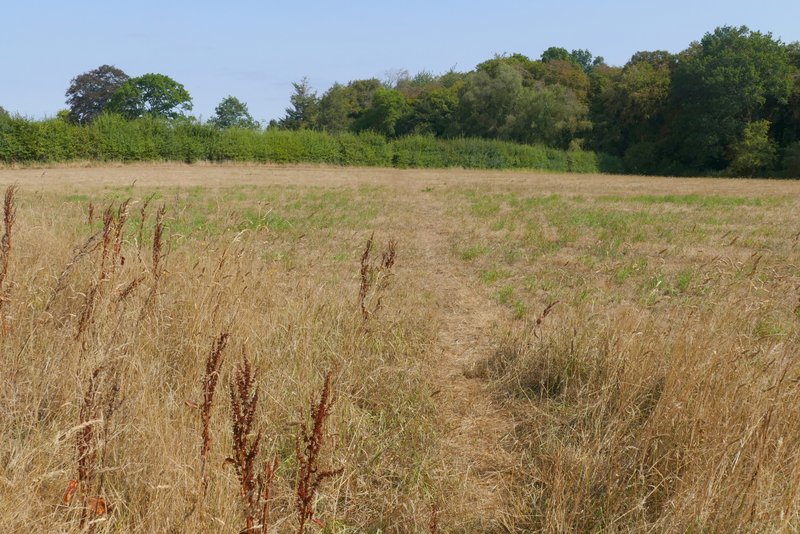
The path to Piggott's Wood, going through the first paddock
Across a drive two paths started into Piggott's Wood and I took the rightmost one. After a while I came to a path T-junction where I turned left for a few yards, before turning right at another junction to resume the general direction I'd been on before. The OS map seems to show a very slightly staggered crossroads further on, but it was a simple crossroads where I just went straight on. I did eventually reach a path junction near the far side of the wood (in fact a path went straight on as well, but the map shows that it is not a public footpath and this is not an 'open access' area). I turned right for a hundred yards or so to reach another junction where I turned left and soon reached the edge of the wood (by which point I'd walked almost a mile through the wood).
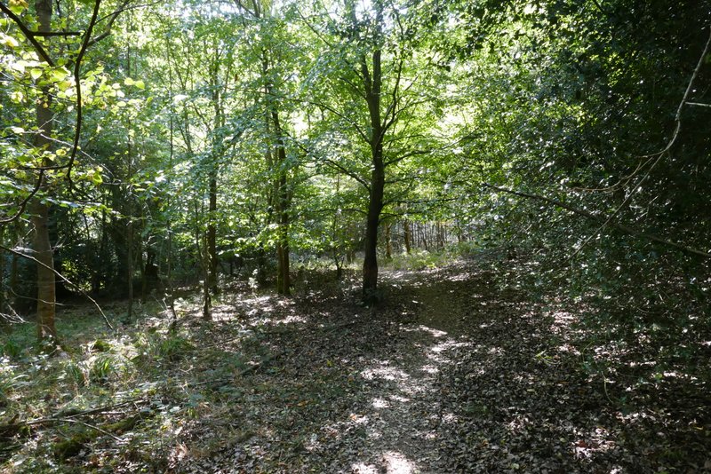
The path through Piggott's Wood
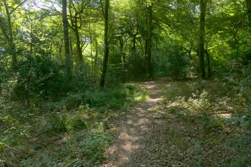
The path through Piggott's Wood
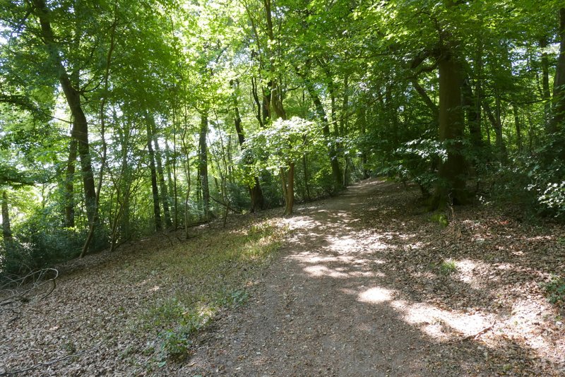
The path through Piggott's Wood
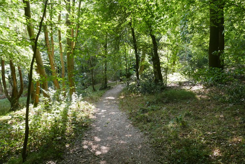
The path through Piggott's Wood
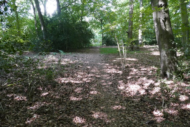
The path through Piggott's Wood, after I turned right
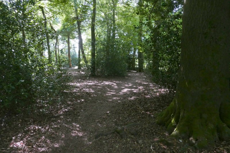
The path through Piggott's Wood, after I turned left