Pete's Walks - Ashridge and Berkhamsted Common (page 1 of 5)
If you are considering walking this route yourself, please see my disclaimer. You may also like to see these notes about the maps and GPX files.
I did this circular walk of about 9.5 miles on Monday, September 28th, 2026. It was another repeat of a walk I first did in November 2023 (and first repeated in August 2024.
I parked in the car park near the visitor centre and cafe by the Bridgewater Monument (Grid Reference SP972131). I started walking at about 9.20am, and walked past the visitor centre and cafe on my left, with the monument to my right. I went straight on along a bridleway that descended gently through the woods of Ashridge, soon curving slightly left. I went straight on where another bridleway forked right (and dropped downhill to Aldbury), the bridleway I followed now staying level and fairly straight for several hundred yards. There used to be a nice view to my right at one point (looking out from the woods over the village of Aldbury and beyond), but the trees have grown and it's not so good nowadays.
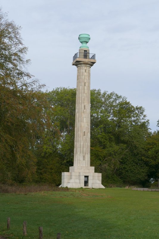
The Bridgewater Monument
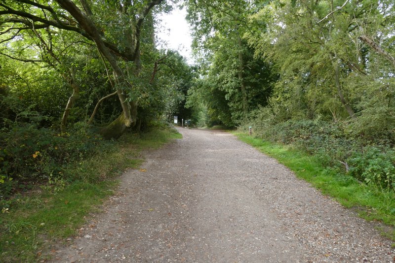
The bridleway from the Bridgewater Monument
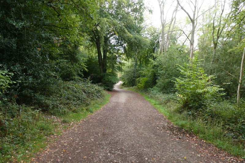
The bridleway from the Bridgewater Monument
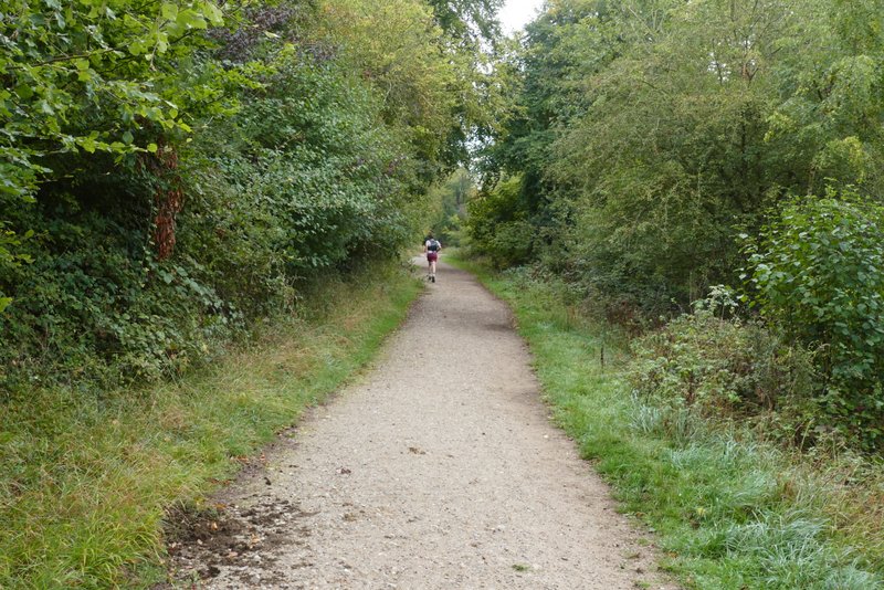
The bridleway after I went straight on where another bridleway forked right to descend to Aldbury
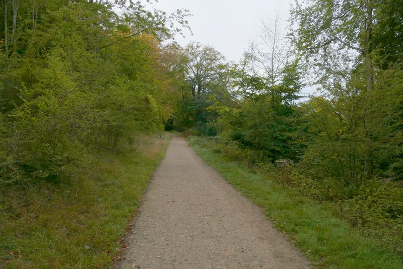
Further along the same bridleway
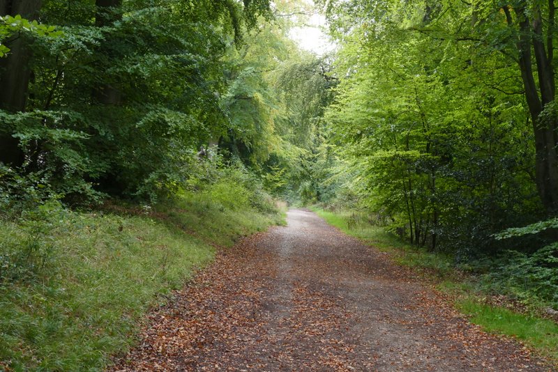
Further along the same bridleway
Eventually I came to a junction where I turned right (there was a gap in the trees with a bit of a view here), but then turned immediately left on to another bridleway. This soon crossed a drive and shortly afterwards came to a road (the Tom's Hill car park was a little way to the left). The bridleway continued across the road through more of the woods of Ashridge. After about half a mile I came to a fork, where I went right for a few yards and then turned left (not the immediate left that formed a path triangle here). I soon came to a path crossroads where I went right.
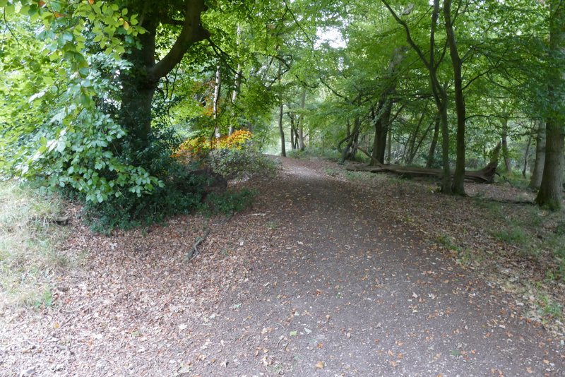
The bridleway after I turned right and then immediately left
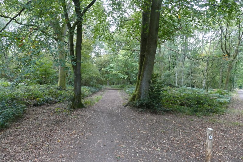
Further along the same bridleway, from where it crosses a drive
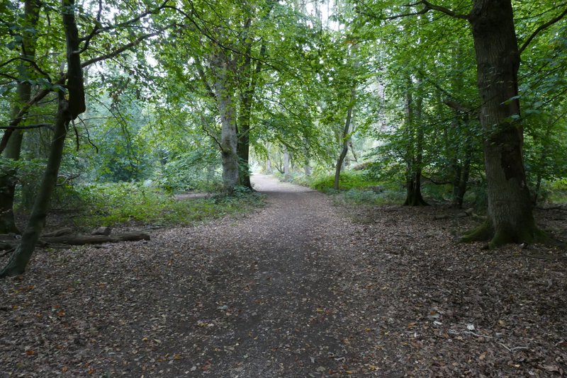
The bridleway after it crosses the road (near the Tom's Hill car park)
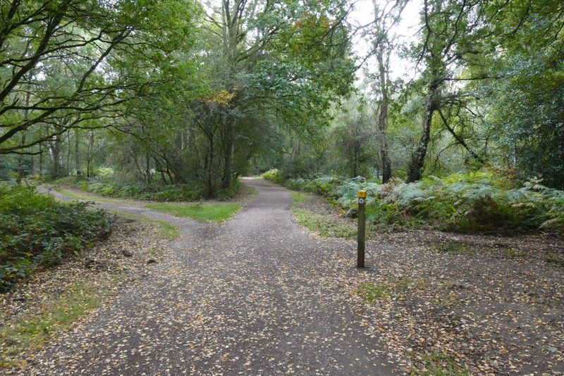
Further along the same bridleway
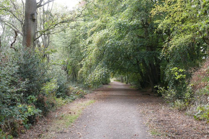
Further along the same bridleway
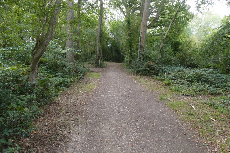
Further along the same bridleway
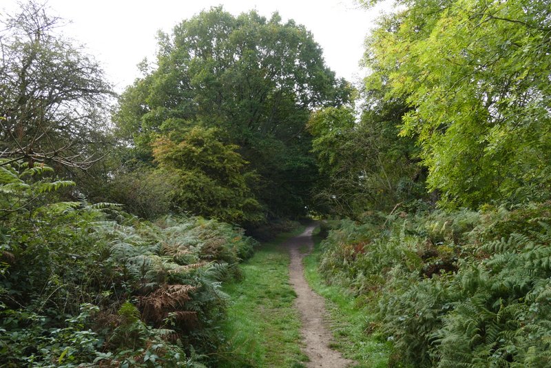
Further along the same bridleway (after I took a right fork and then turned left and then right)
The path soon reached the huge grassy expanse of Northchurch Common (I was once approached by the Location Manager of a film, who was thinking of using the common for scenes that were set in the African savannah!), where I turned right along a broad path close to the edge of the grass. Just after this turned left in a corner and headed towards a line of trees, I took a path going half-right, and then turned left along the edge of the common again. After several hundred yards I took a bridleway on the right, back into the woods. I went straight on at a path crossroads, and again when I came to a crossing drive.
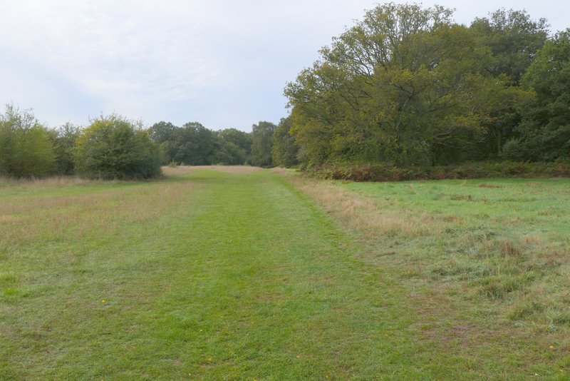
Northchurch Common, after I turned right along the edge of the common
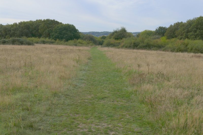
Northchurch Common, after I turned left and then turned half-right
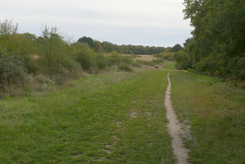
The bridleway after I turned left
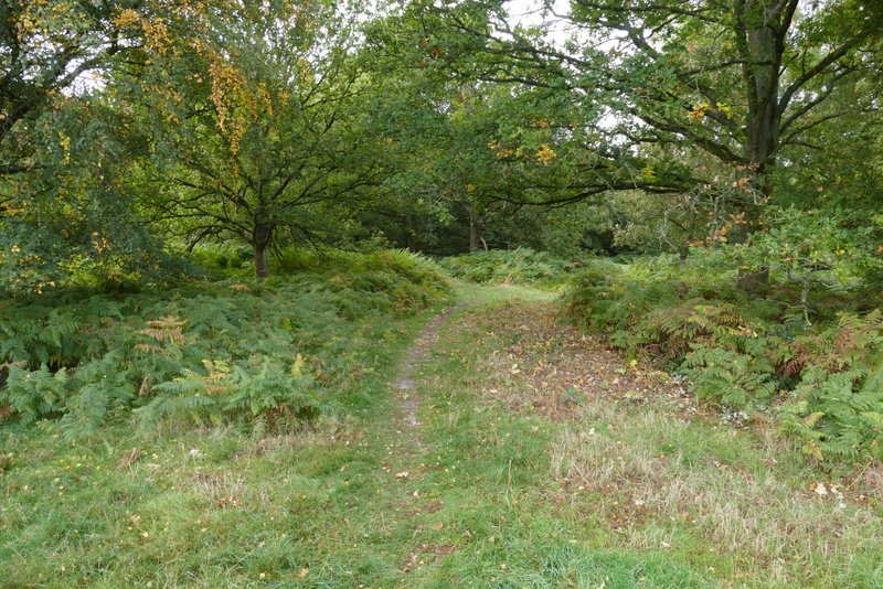
The bridleway after I turned right, back into the woods
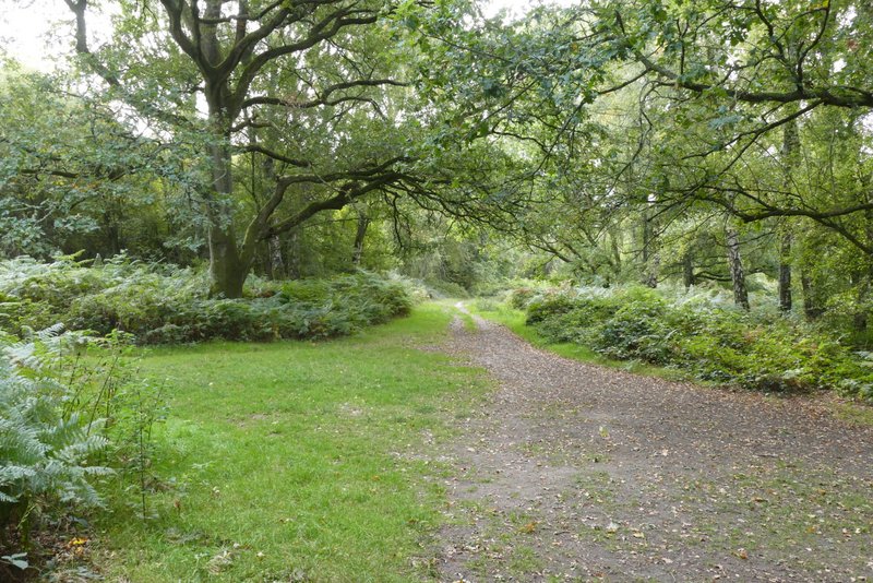
Further along the bridleway
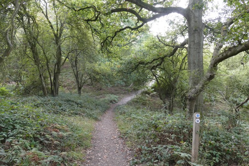
The same bridleway after it has crossed a drive