Pete's Walks - Ashridge and Berkhamsted Common (page 2 of 5)
If you are considering walking this route yourself, please see my disclaimer. You may also like to see these notes about the maps and GPX files.
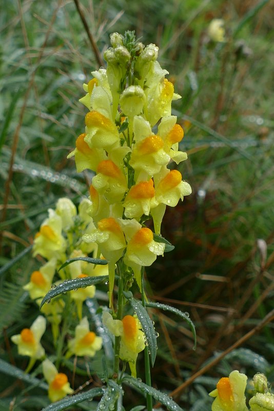
I then crossed a road (from Ringshall to Northchurch, nearby to my right) and continued along a bridleway on the other side. I soon came to a bridleway fork where I went right (I usually go left here), and followed the bridleway (I saw some
Common Toadflax at one point) until it reached the drive to Northchurch Farm.
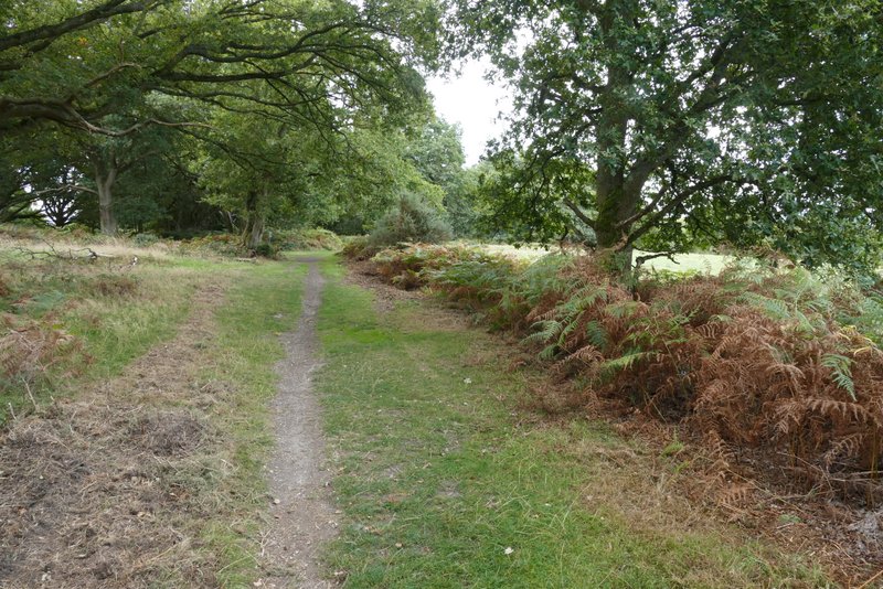
The bridleway after I crossed the Ringshall-Northchurch road
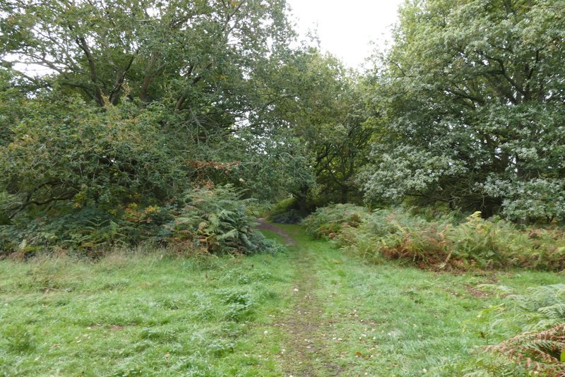
Further along the bridleway
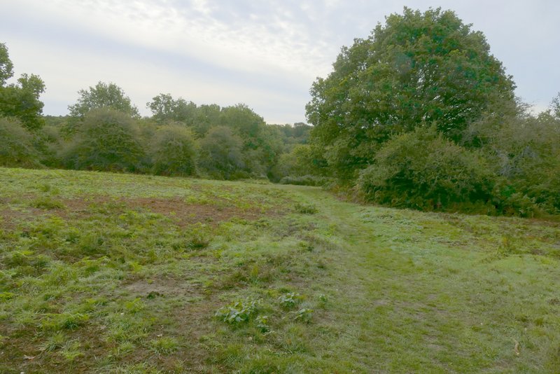
Further along the bridleway
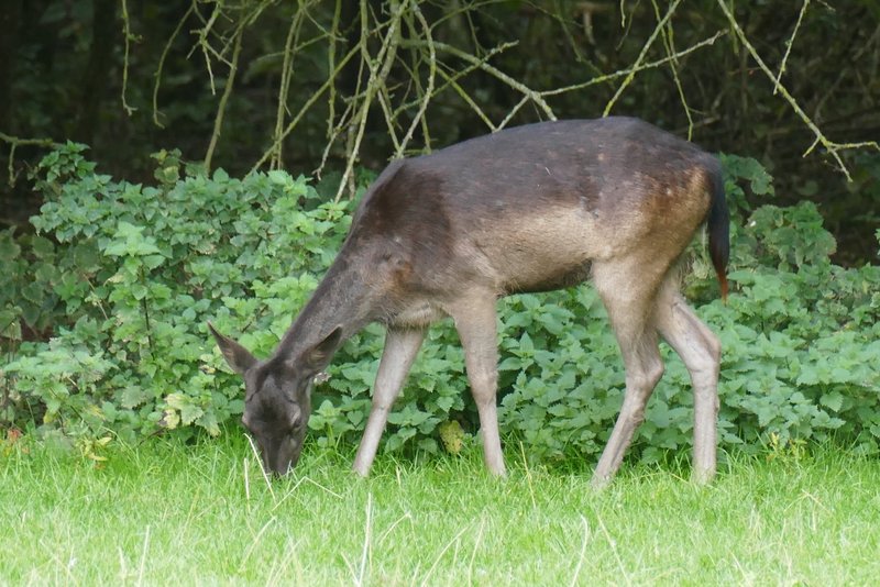
I turned left along the drive (the OS map shows that it is a byway) and followed it to just before the buildings at Northchurch Farm. Here I turned right and followed another byway. After a while this turned right, passing a small estate of bungalows on my left. When I reached a path junction, I turned left, still on a byway and still next to the bungalows. There are often Fallow Deer to be seen in the paddocks to the right, today I just saw a solitary doe.
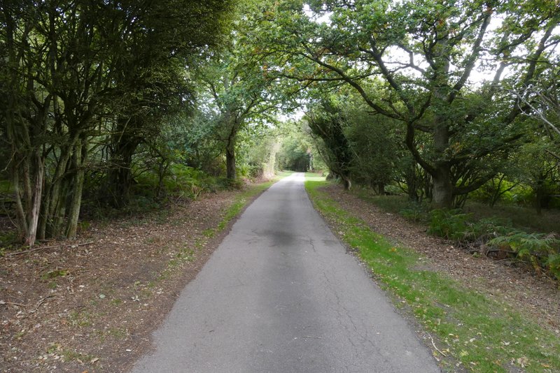
The drive to Northchurch Farm (a byway)
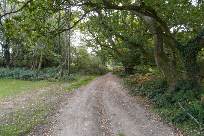
The byway after I turned right just before Northchurch Farm
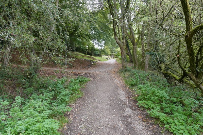
Further along the byway, as it passes the small estate of bungalows
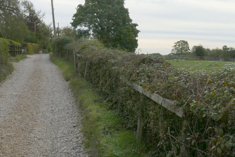
The byway after I turned left
At the end of the byway (at the end of the bungalows), I turned left onto a footpath that ran along the left edge of a large arable field. I soon passed a pond (hardly recognisable as one today, after the recent heatwaves), and then a tree belt started on my left, which the path followed for several hundred yards.
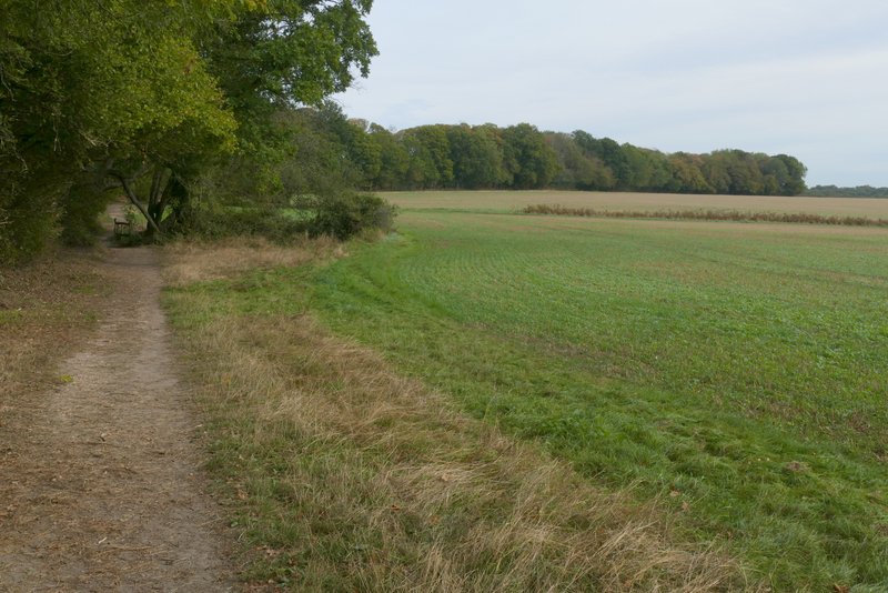
The start of the footpath, after I turned left at the end of the byway
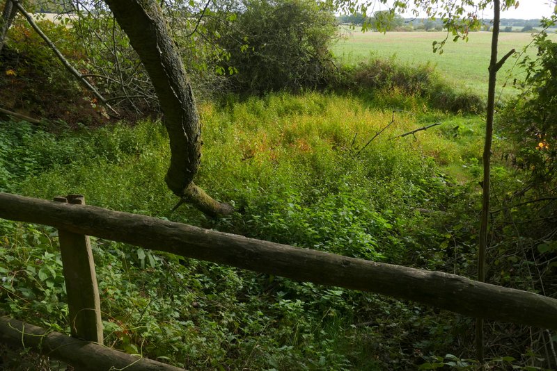
This is a pond, but after all the heatwaves this summer it is dried up and overgrown
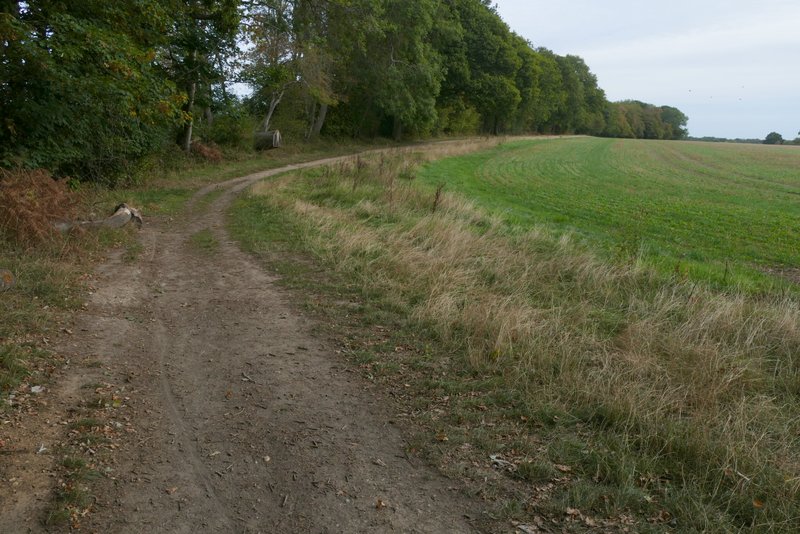
Further along the same path