Pete's Walks - Studham Common and Trowley Bottom (page 1 of 3)
If you are considering walking this route yourself, please see my disclaimer. You may also like to see these notes about the maps and GPX files.
I did this circular walk of about 9.5 miles on Sunday, 11th October 2026. It was a repeat of a walk I did in February 2025, but done in the opposite direction (clockwise)
I set off from the car park on Studham Common (Grid reference TL 027156) about 9.25am, following a path downhill with the road a little way to my left. At the bottom of the slope I turned right, and continued along the bottom of the common. In the next corner of the common, I went a few yards left and joined a surfaced drive for a few yards, before turning left along Roe End Lane. This tree-lined byway went a short way uphill, before levelling out. After about a quarter of a mile, I took a footpath that started on the left immediately before the byway turned right. This path led through a small triangle of woodland, and then continued on between Byslip Wood on my left and a huge arable field on my right. After a while the wood and the path curved left, the wood becoming Dedmansey Wood at some point and then, further on, Fareless Wood.
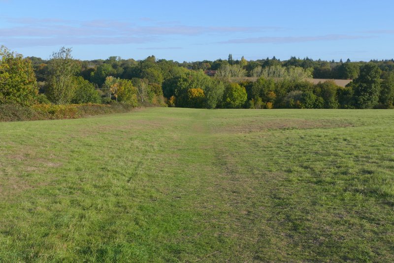
The path descending Studham Common
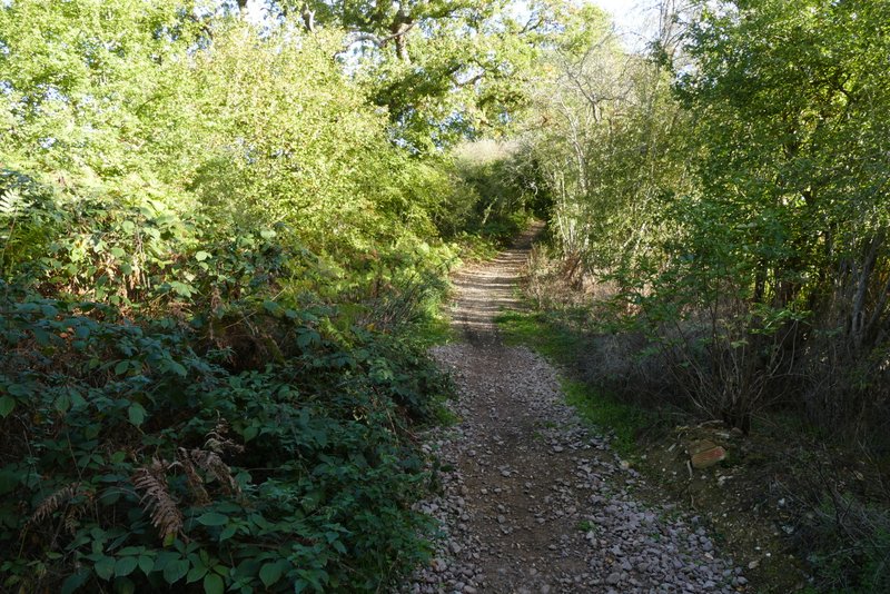
Roe End Lane
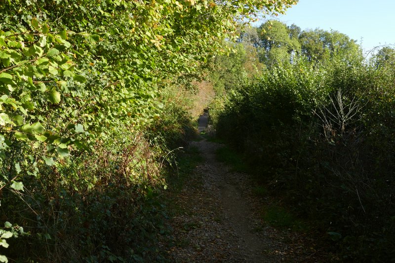
Roe End Lane
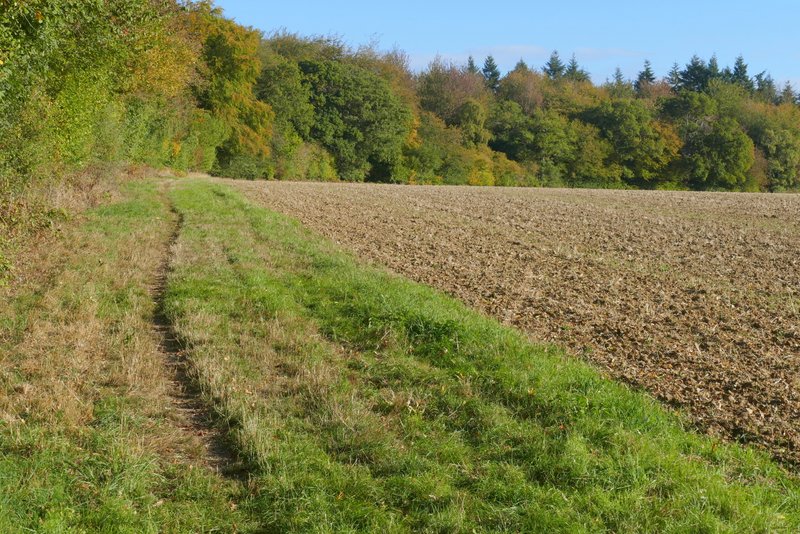
The path to Markyate, beside Byslip Wood
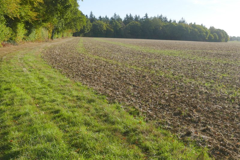
The path to Markyate, now beside Dedmansey Wood
At the end of the woods, the path continued along a farm track with a hedge on the right, soon passing some farm buildings at Buckwood Stubs. After about a quarter of a mile the track turned right, but the footpath continued ahead along a grassy headland to a gate in a field corner. The path continued along a hedgerow on the right and after several hundred yards finally ran between overhanging hedges beside a garden to reach Buckwood Road.
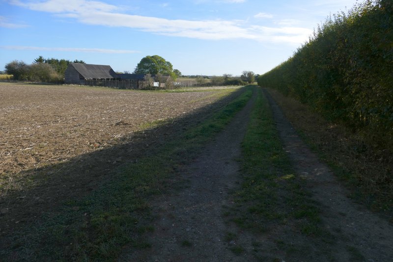
The path to Markyate, passing the farm buildings at Buckwood Stubs
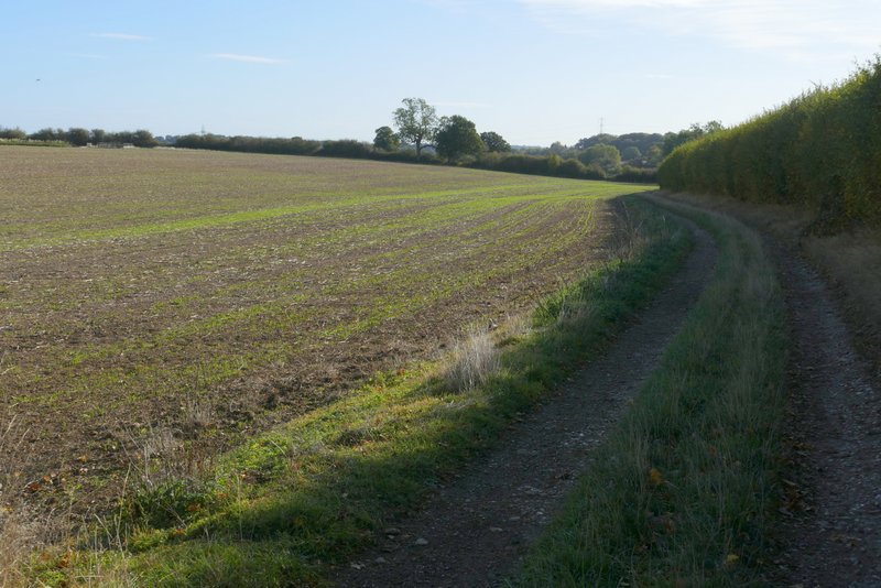
The path to Markyate
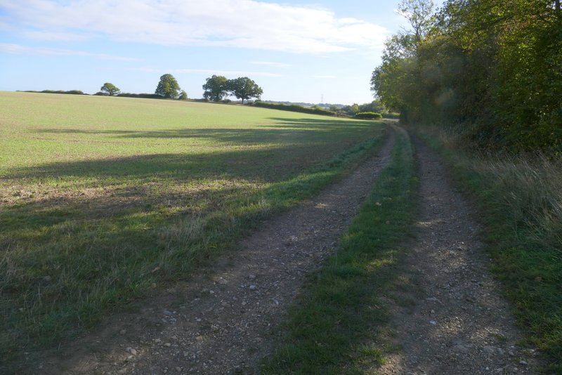
The path to Markyate
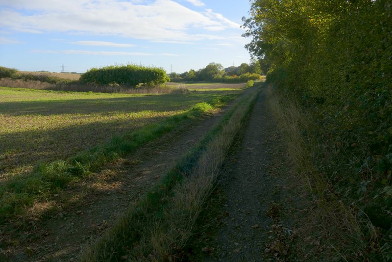
The path to Markyate
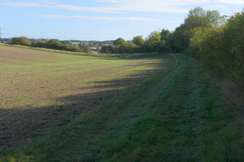
The path to Markyate
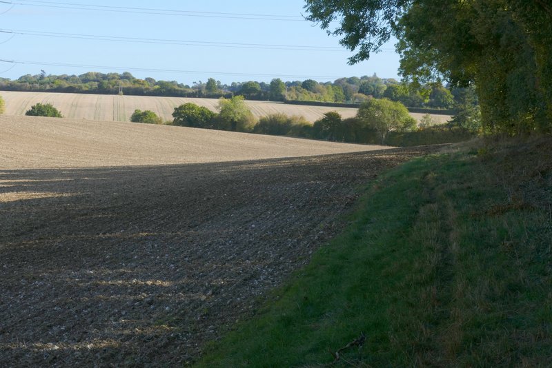
The path to Markyate

The path to Markyate
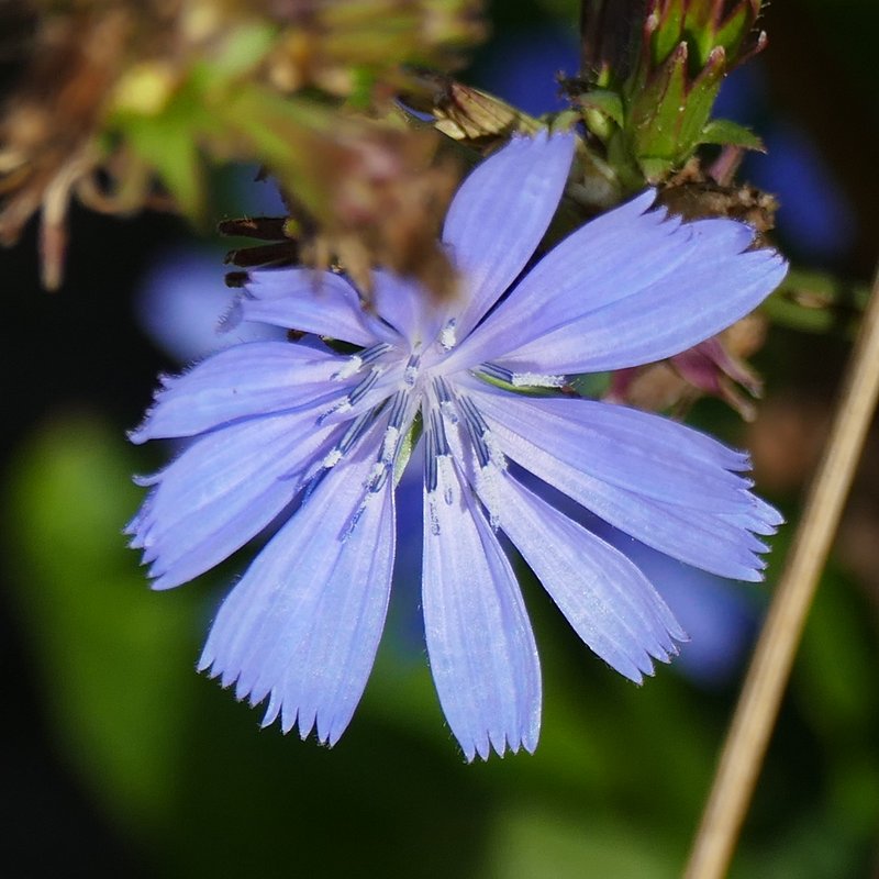
I turned right along the road and soon entered Markyate. I continued down the road for a while, then turned right into an alleyway immediately before a large chapel on that side. I then went through a small gate in a curved brick wall surrounding a tiny ornamental garden (I have no idea what this feature is, really!), then went left a short way along a street before turning right at a footpath sign. The path went between some houses and left the village, soon coming to a fork where I went slightly left. The path now followed a tall hedge on the left, beside a very large field. I saw two or three dog walkers and a jogger here. After three or four hundred yards I went straight on at a path crossroads, now having a hedgerow on my right. The hedge ended after a while, and the path went down and up a slight dip. I was very pleasantly surprised to see at leat two Clouded Yellow butterflies in the field to my left here, though I couldn't get a photo. There was also some Chicory growing beside the path.
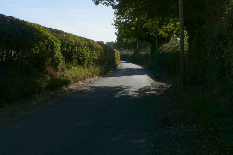
The road into Markyate
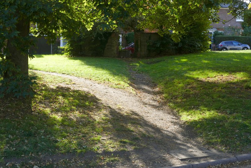
The path through Markyate
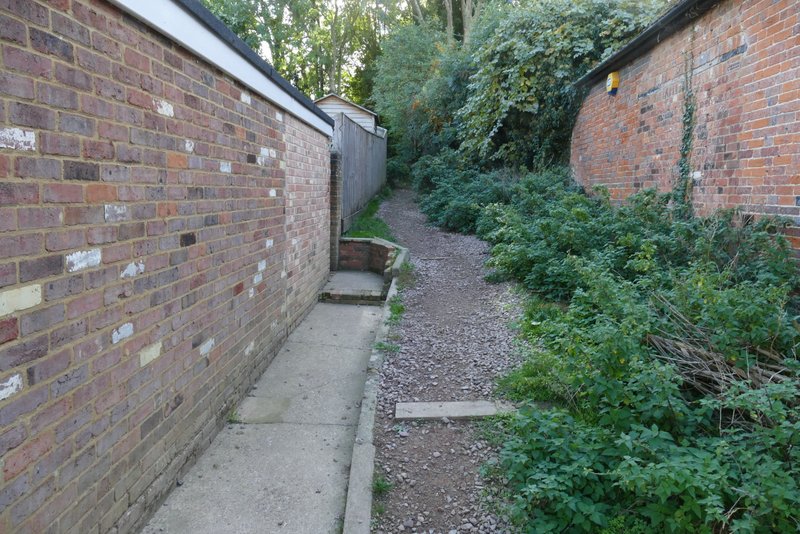
The start of the path out of Markyate
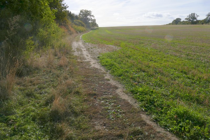
The path from Markyate to Flamstead
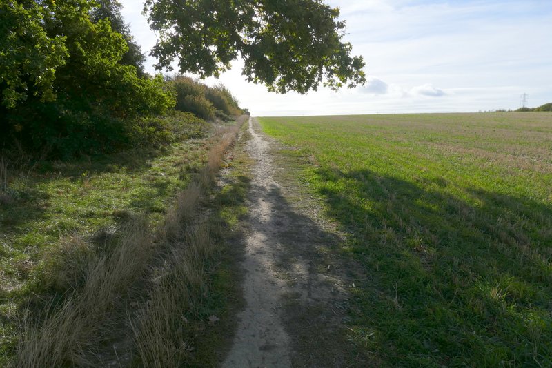
The path from Markyate to Flamstead
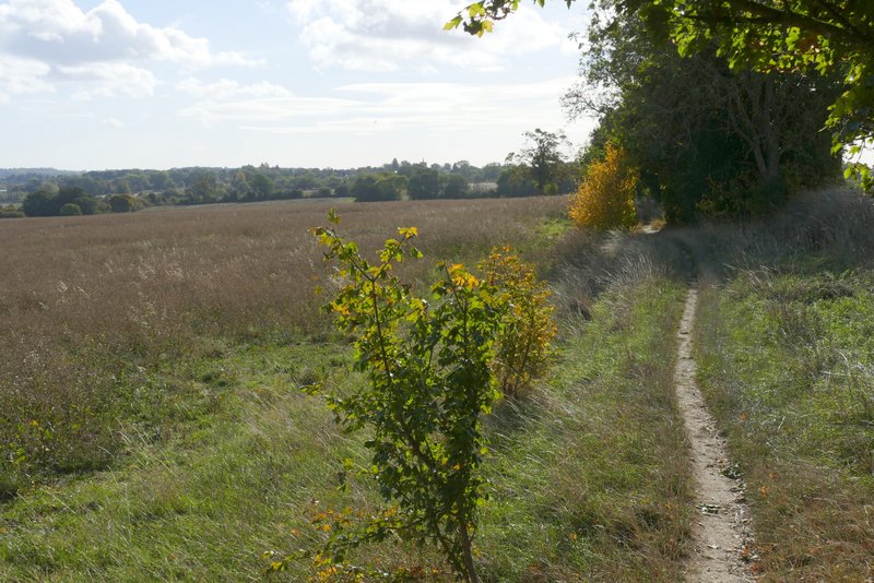
The path from Markyate to Flamstead
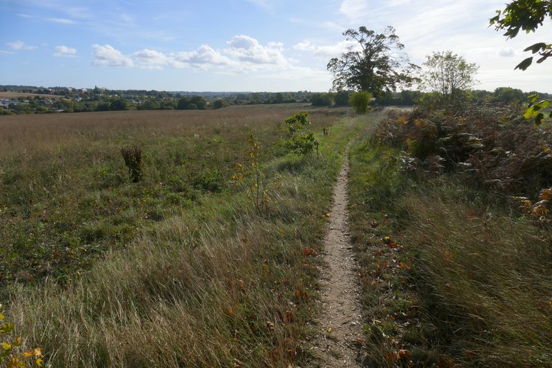
The path from Markyate to Flamstead

The path from Markyate to Flamstead