Pete's Walks - Studham Common and Trowley Bottom (page 2 of 3)
If you are considering walking this route yourself, please see my disclaimer. You may also like to see these notes about the maps and GPX files.
On reaching a tall hedgerow, I turned left and then turned right through a gap in the hedge. The path now followed a hedge on my left, beside a small field. It then continued beside the hedge through a large and rather overgrown paddock. The path then continued between hedges either side (as if in a 'tunnel' where they overhung) for several hundred yards. Finally the path crossed a meadow to reach a gate and Friendless Lane, where I turned left into Flamstead (you can read about the origin of the lane's name here).
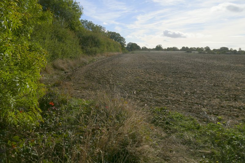
The path from Markyate to Flamstead
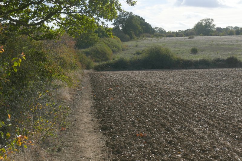
The path from Markyate to Flamstead
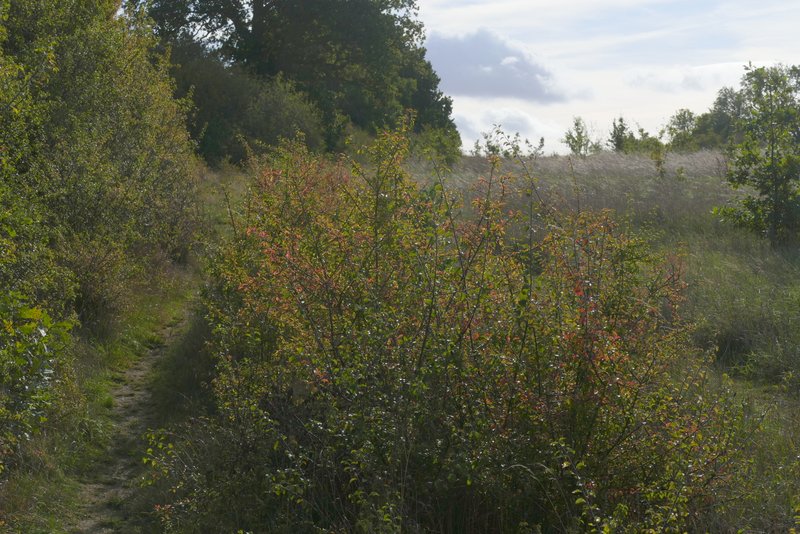
The path from Markyate to Flamstead

The path from Markyate to Flamstead

The path from Markyate to Flamstead
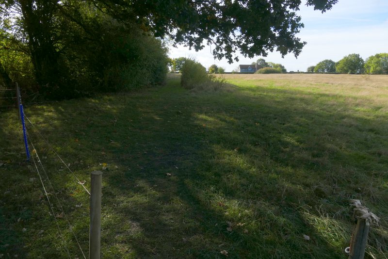
The path from Markyate to Flamstead
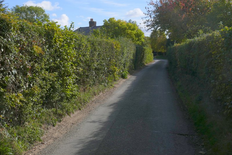
Friendless Lane
I turned right at the end of Friendless Lane, and followed the main street through the centre of Flamstead. I soon passed the village church on my left - I'd already heard the church bells from a distance, and they started ringing again as I went by. I continued along the road (it becomes Trowley Hill Road at some point) downhill for about half a mile, until it ended at a junction in the adjoining settlement of Trowley Bottom. I turned right and then immediately left into Wood End Lane, but left this straight away by taking a bridleway on what was now my right.
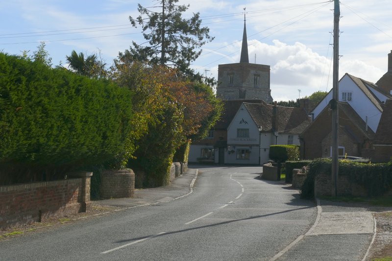
The road through Flamstead

Flamstead church
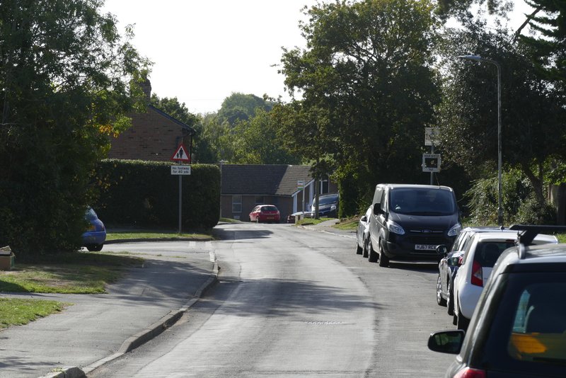
The road through Flamstead

The road through Flamstead
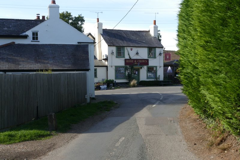
Trowley Bottom
The bridleway ran for about half a mile along a valley bottom - I saw another walker on a path that crossed the bridleway, the only other walker I saw today. At the end of the bridleway I turned right into Valley Lane, going uphill - this was the steepest uphill of the walk. I heard a Buzzard fly off from a tree next to the lane, but didn't manage to see it. At the top of the slope I came to a crossroads where I turned left into Friendless Lane again (the lane does a rather curious thing here, instead of crossing over the crossroads it just makes a turn). I followed Friendless Lane for just over a quarter of a mile, before turning left and following a footpath through Friendless Wood. On leaving the wood the path turned right, so that it was running almost parallel to Friendless Lane.
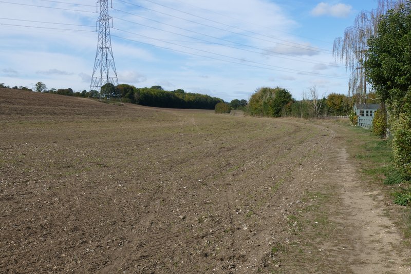
The bridleway from Trowley Bottom
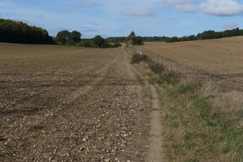
The bridleway from Trowley Bottom
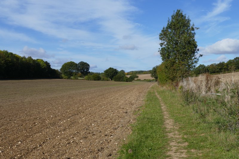
The bridleway from Trowley Bottom

Valley Lane
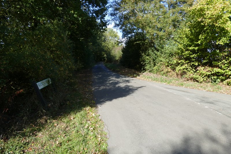
Friendless Lane
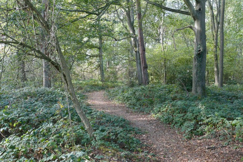
Friendless Wood
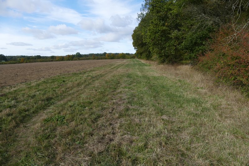
The path parallel to Friendless Lane, beside Friendless Wood

View right from beside Friendless Wood