Pete's Walks - Christmas Common and Studdridge Farm (page 1 of 3)
If you are considering walking this route yourself, please see my disclaimer. You may also like to see these notes about the maps and GPX files.
I did this circular walk of about 9.5 miles on Saturday, 17th October 2026. It was a new route that I put together so that I could revisit Northend to have another look at the Clouded Yellow butterflies that I'd seen there twice recently. Although it was a new route there was only one path that I'd not walked previously on other routes. Unfortunately that path proved to be hard to follow (which is very unusual in the Chilterns), so I have marked an alternative to that path on my Google Map.
Entering Christmas Common from the north, I took a road forking left and immediately parked on the right (Grid Reference SU 714933). I started walking about 9.55am, going the few yards back to the junction and turning right onto a footpath. This ran between fences, with paddocks or meadows either side, turned right by some gardens, then turned left between gardens and joined a drive. Where the drive turned left, I turned right and followed a path through Shotridge Wood, which curved left and then right. At a path T-junction I turned right, now in an area of beech trees with some hollows in the ground to my right. I soon came to another path junction where I turned left. The path descended very gently through the trees over a considerable distance. After about half a mile I went straight on where another path went right, and shortly after the path finally levelled out (the wood was now Blackmoor Wood).
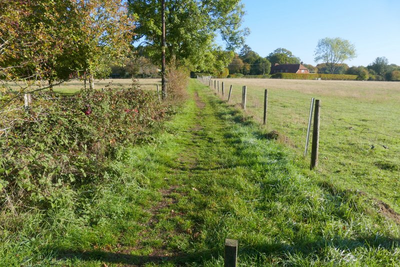
The start of the path from Christmas Common
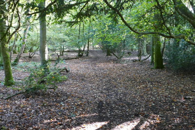
The first path through Shotridge Wood
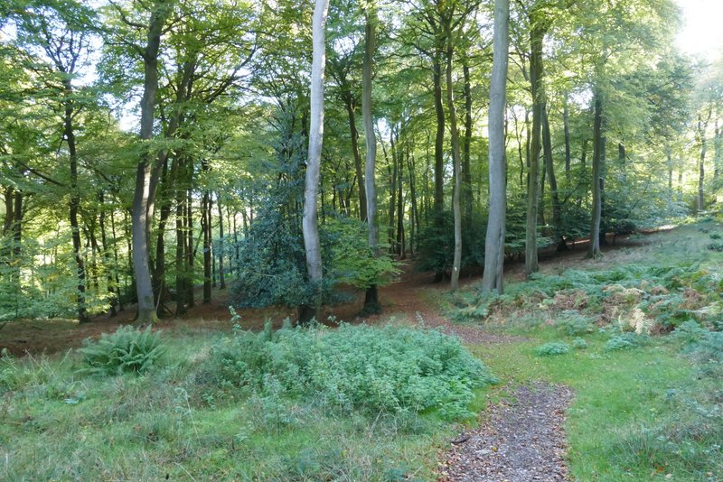
The path through Shotridge Wood after I turned right and then left
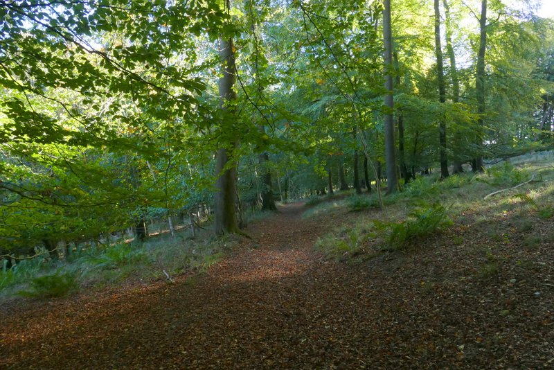
The same path through Shotridge Wood
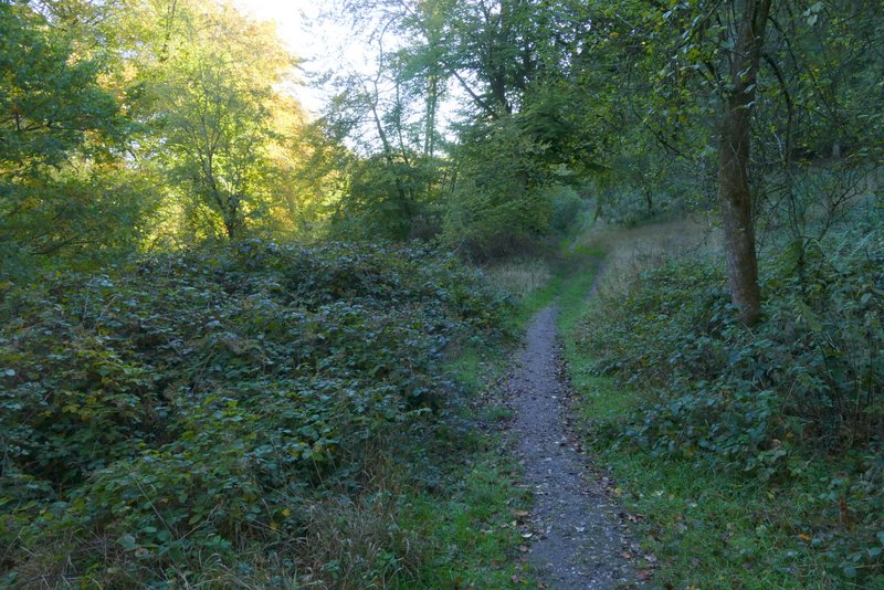
The same path, now in Blackmoor Wood
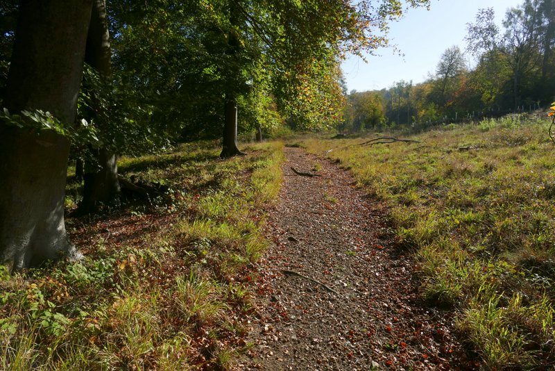
The path through Blackmoor Wood
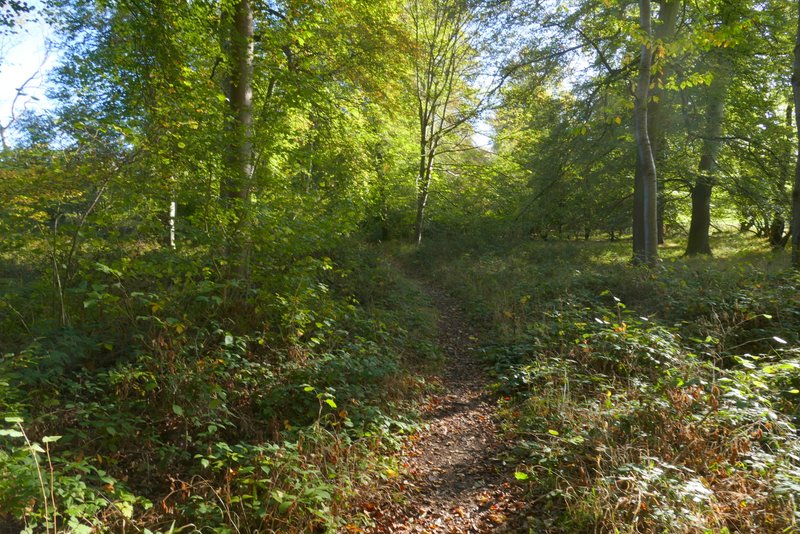
The path through Blackmoor Wood
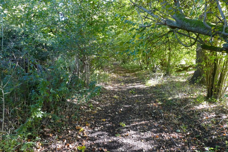
The path through Blackmoor Wood
After following the path through the woods for over a mile, and shortly after going straight on where another path went right, the path ended at a drive in the Wormsley estate. Here I turned right for a few yards before taking a path on the other side of the drive. The path went slightly uphill as it crossed an empty field, then went over another drive before crossing a much larger sheep pasture (the sheep were behind an electric fence to the right of the path). Beyond this field, I turned left along a bridleway heading north through the Wormsley Valley. After about three-quarters of a mile the bridleway ended at a bend in another Wormsley estate drive, where I went straight on.
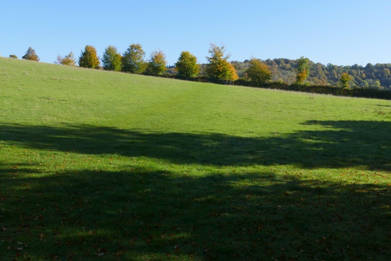
The path after I turned left from a drive on the Wormsley estate
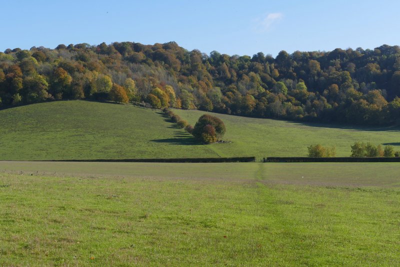
The path after I crossed a drive on the Wormsley estate
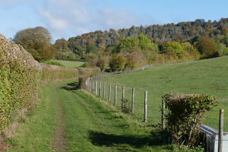
The bridleway through the Wormsley valley
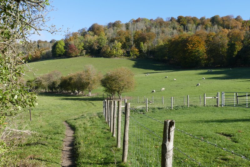
The bridleway through the Wormsley valley
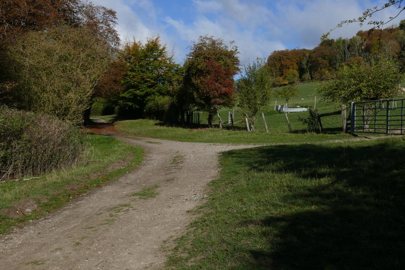
The bridleway through the Wormsley valley
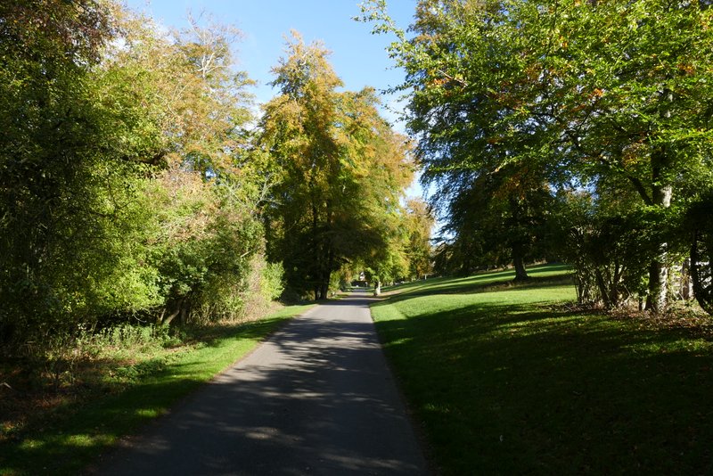
The Wormsley estate drive continuing from the end of the bridleway
Just after passing a yellow thatched cottage, I turned right onto a bridleway (there was fingerpost pointing left but I didn't see any sign or waymark pointing right). The bridleway went uphill quite steeply through Bowley Wood, then turned left to continue uphill through the wood at an easier gradient. After about another quarter of a mile it turned right (I got here sooner than I'd expected), left the wood and soon ended when it met a road, where I turned right.
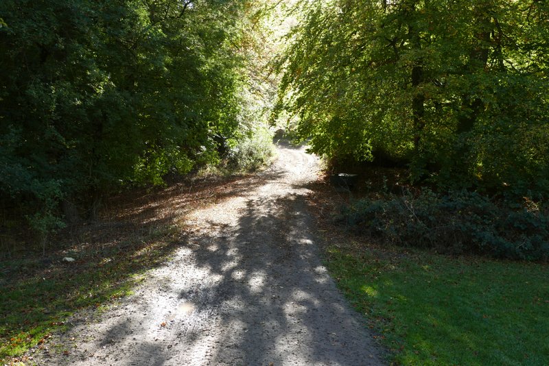
The start of the bridleway through Bowley's Wood, after I turned right from the drive
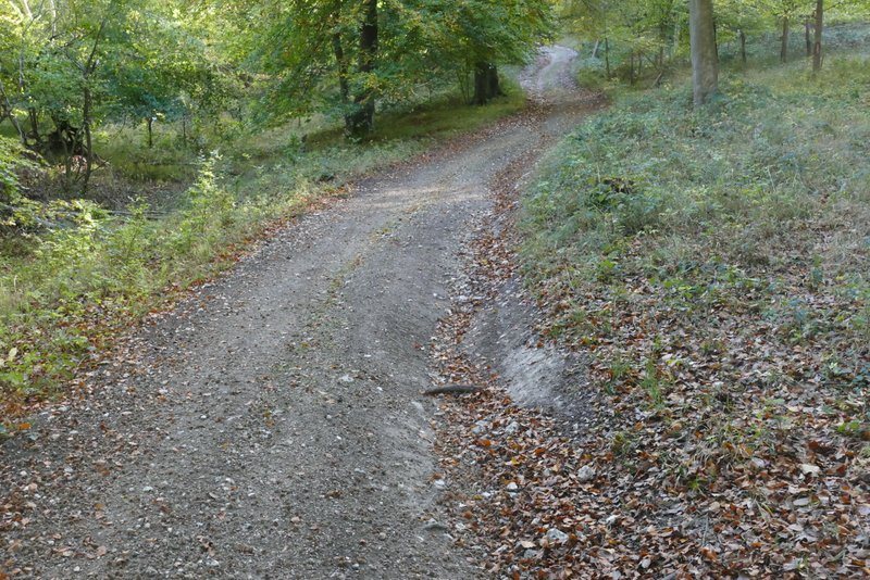
The bridleway through Bowley's Wood
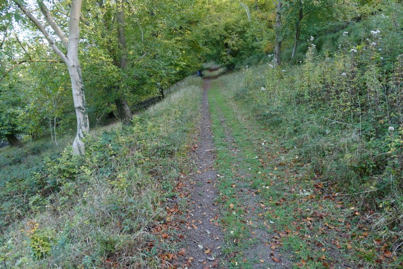
The bridleway through Bowley's Wood
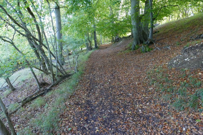
The bridleway through Bowley's Wood
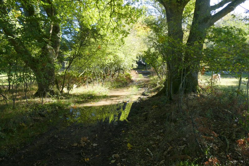
The same bridleway, as it reaches the road
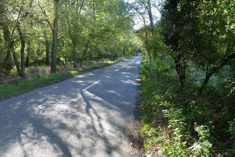
The short road walk