Pete's Walks - Christmas Common and Studdridge Farm (page 2 of 3)
If you are considering walking this route yourself, please see my disclaimer. You may also like to see these notes about the maps and GPX files.
I followed the road for one or two hundred yards, then took a footpath on the other side that ran through another wood, Commonhill Wood. The path soon turned left and descended very slowly through the wood into the head of a valley, before rising a short way up the other side. The path then left the wood, and ran between a hedge and a fence beside an empty pasture on the right. I then crossed the drive to Studdridge Farm (to my right) and carried on along a surfaced track between a wood on my left and a large field on my right. At a path junction in the next field corner, I turned sharply right to go diagonally across the large field. I first headed to the nearest corner of what looked like a small copse in the middle of the field, but what was actually a tree-lined pond or reservoir. I turned left along the edge of the trees, before continuing across the field to a gate in the far corner.
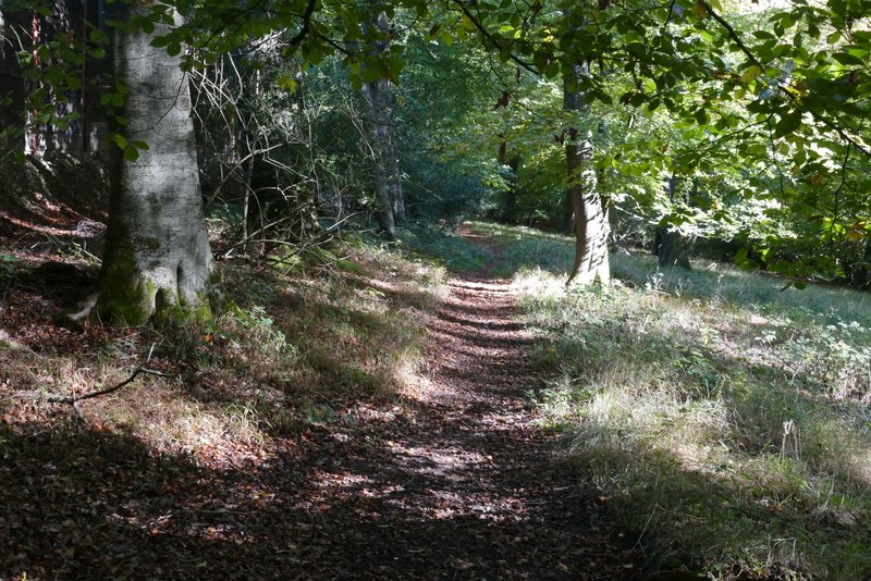
The path through Commonhill Wood
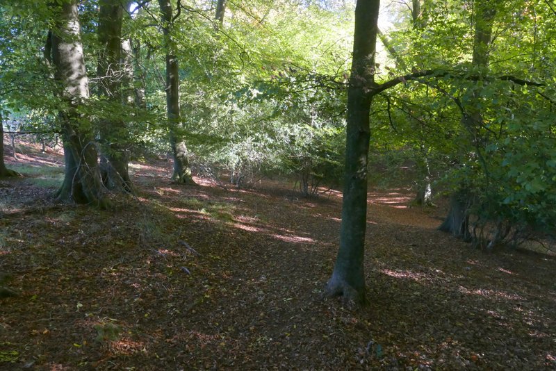
The path through Commonhill Wood
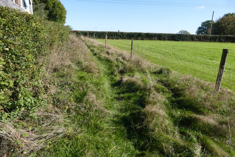
The path continuing from Commonhill Wood
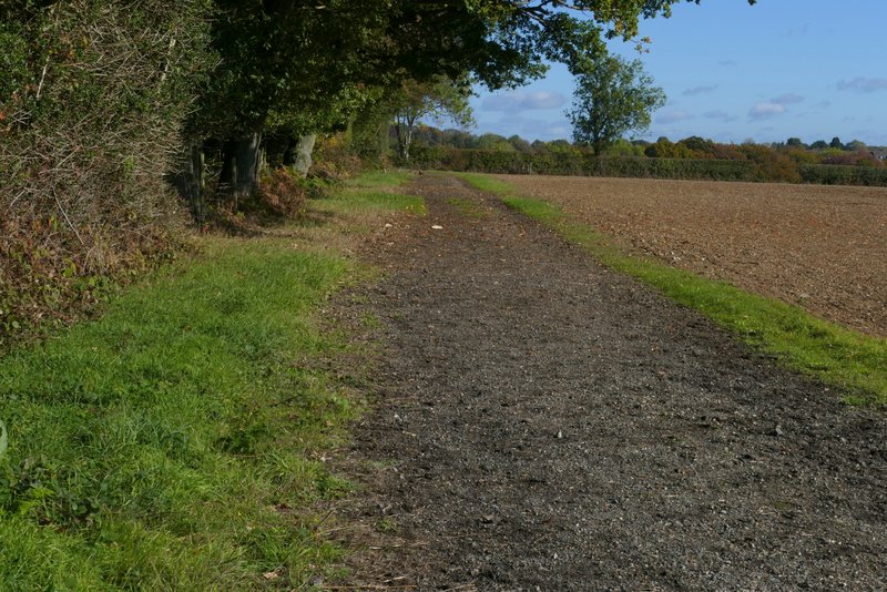
The path after it crosses the drive to Studdridge Farm
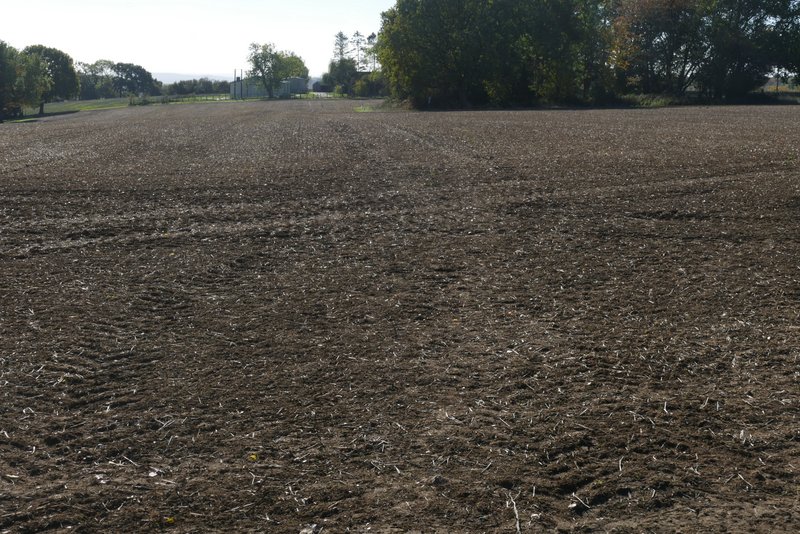
The path after I turned sharply right
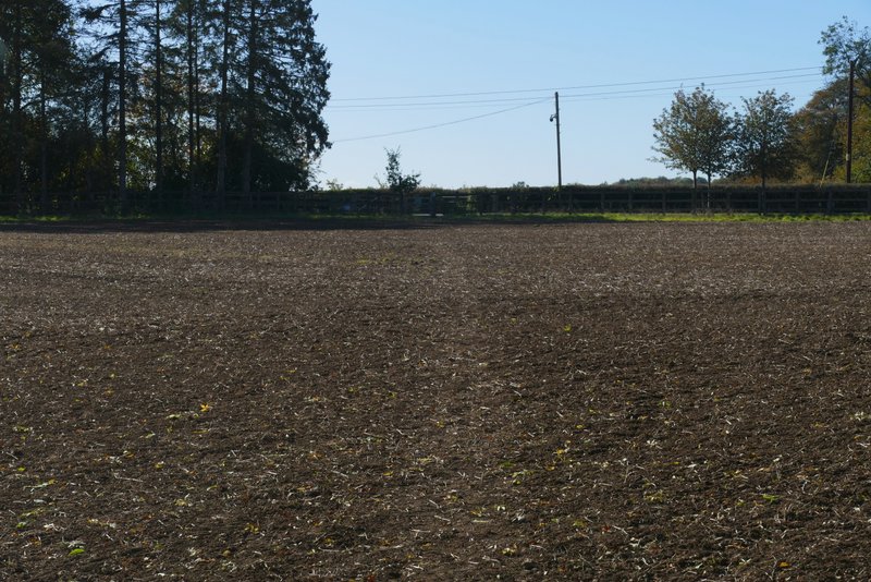
Further along the same path, heading back to the drive to Studdridge Farm
I then recrossed the drive to Studdridge Farm, and followed a hedge on the left of the empty pasture I had passed a little earlier. At a gate in the hedge another path went left (part of the Chiltern Way), but I went straight on - this was the new bit of path I'd not walked before. In the field corner the path entered Commonhill Wood and started to descend into a valley. The path was clearly less well-used than the other paths I'd walked, but a couple of white arrows pointed the way and I had no difficulty reaching the bottom of the slope, where a track (not a right of way) ran along the valley bottom. But there was no sign of the path continuing across the track. Then I noticed a white arrow on a tree a few yards on the other side of the track, but I had to make my way around a patch of undergrowth to reach it. The arrow pointed half-right, but the OS map showed the path going straight on very briefly and then going half left. There was no sign of any path, nor any more white arrows, so I made my way straight up the wooded hillside, constantly scanning for any clue to where the path may be. I soon realised that I must have gone too far up the slope (according to the map) so I turned left, then just very gradually edged further uphill. After several hundred yards I finally spotted the remains of a white arrow on a tree, indicating where the path turned right - but there was no sign of a path. I did turn right and saw another white arrow on a tree. Beyond that it was just a few yards to a fingerpost beside the road (but still no sign of a path). I turned left and followed the road for a quarter of a mile or so to Ibstone.
To be honest, I wasn't too surprised that that path was difficult to follow. It ends on the road without linking to any other paths, so it entails walking at least a quarter of a mile along the road in either direction. Obviously that's not a big issue, but as there are parallel paths either side that do link up quite closely with other paths, not many people are likely to want to chose that path over the other paths - at least that's why I'd never walked it before.
So I've added an 'Alternative 1' to my Google Map so that if anyone else wants to walk this route they can avoid that path. Alternative 1 is all on the route of the Chiltern Way), so you can just follow the waymarks for that. Starting at the gate in the hedge that I mentioned earlier, the path goes through two or three fields and then enters a bit of woodland. At a path junction here, it goes right. It soon leaves the bit of woodland, and follows the edge of a field downhill beside the wood. By the field corner at the bottom the hill there is another path junction, where Alternative 1 again goes right, and follows a path uphill through the wood, ending where a road enters Ibstone. This is where it rejoins the main route.
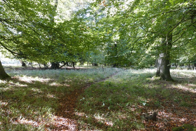
The path descending through Commonhill Wood
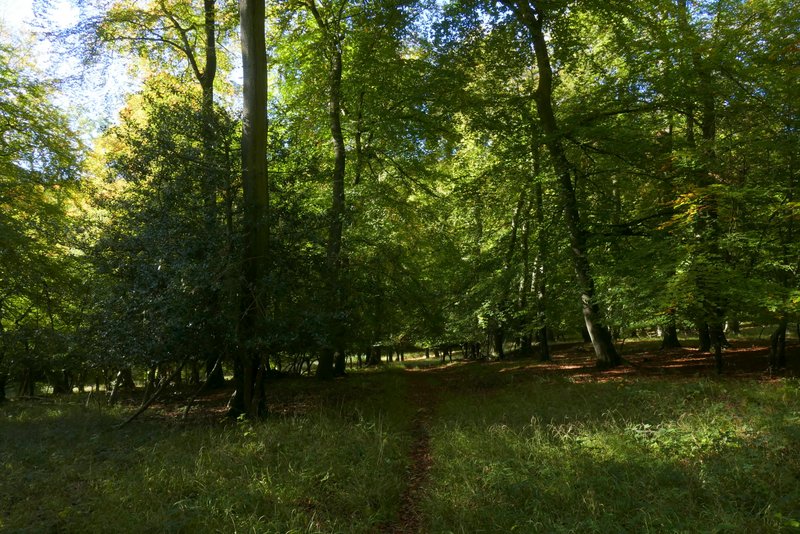
The path descending through Commonhill Wood
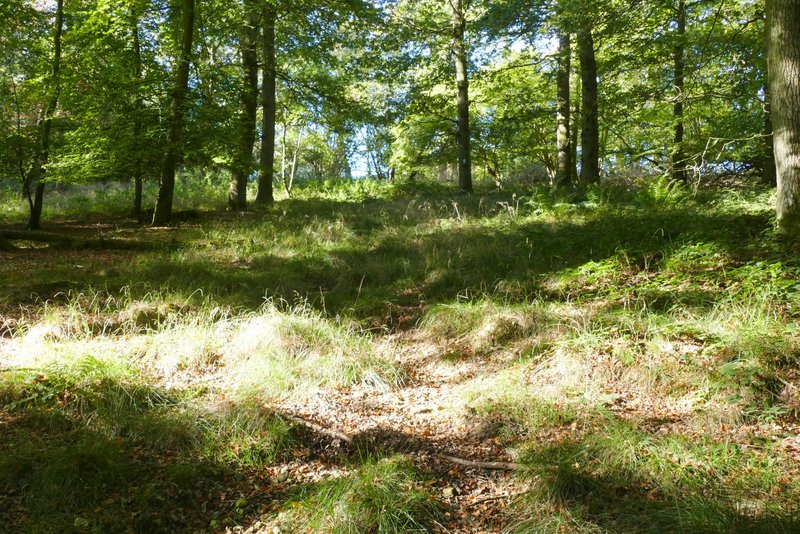
The path rising up the other side of the valley, still in Commonhill Wood
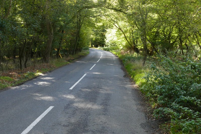
The road into Ibstone
I followed the road for one or two hundred yards through Ibstone, and then took a bridleway on the right that entered the wooded part of Ibstone Common. I passed a pond, dried-up due the heatwaves of the extraordinary summer we've had this year, and then went right at path T-junction. When I came to a junction with a metal gate to my right, I turned left and after a few yards forked left, to cross the open part of Ibstone Common (passing the Millennium Stone).
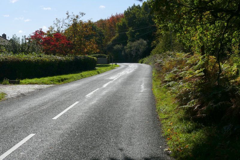
The road through Ibstone
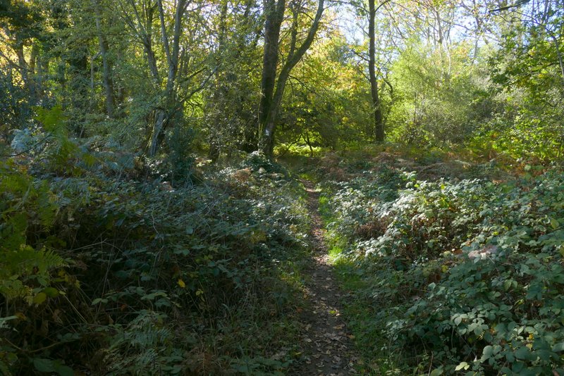
Bridleway on Ibstone Common
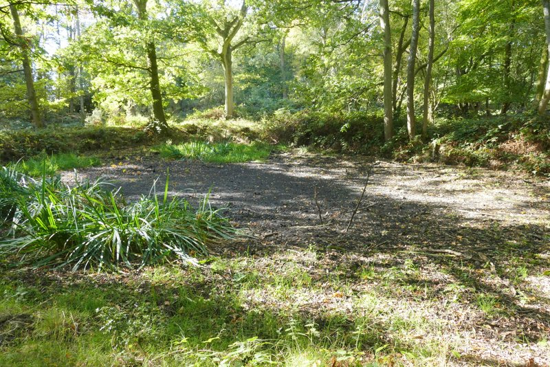
Pond on Ibstone Common, dried up after all the heatwaves this summer
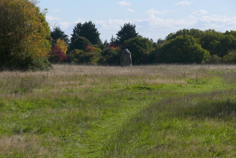
Path across Ibstone Common that passes the Millennium Stone
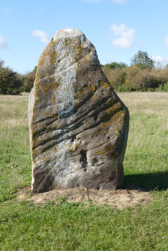
Millennium Stone
I sat and had an early lunch on a seat next to the village cricket pitch. I then followed the road again, before turning right along Gray's Lane. After about a quarter of a mile I reached Hell Corner Farm on my left (the name is on the door), where I took a path on the right that started along a drive and then forked left between garden hedges. It then crossed an empty pasture, with a pleasant view to the left, before entering Great Wood. It soon came to a track, where the right of way went left. Soon after the path turned sharply right and started dropping downhill. Where some trees had been cleared on the left there was a fine view across the Wormsley Valley.
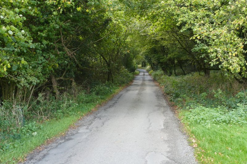
Gray's Lane
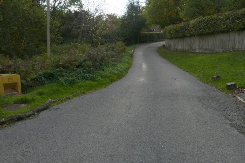
Gray's Lane, approaching Hell Corner Farm (on the left of the lane, centre of photo)
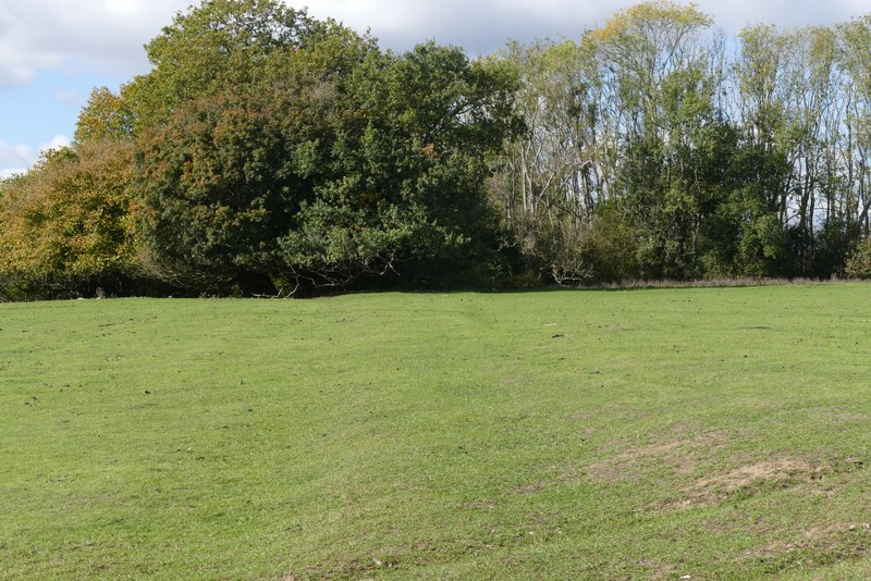
The path from opposite Hell Corner Farm
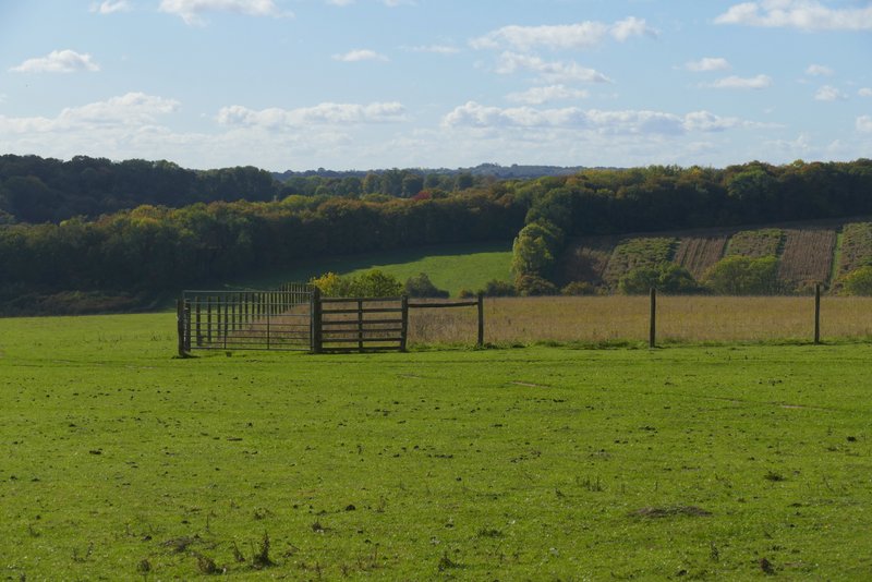
Looking left from the path from Hell Corner Farm
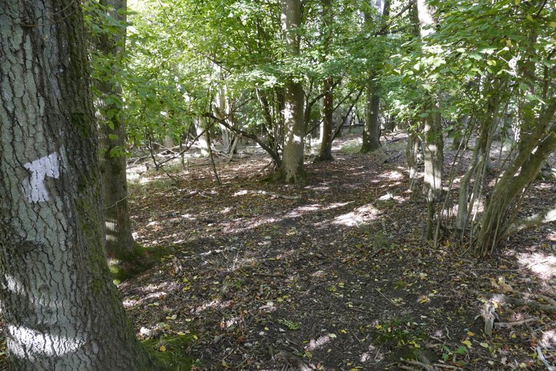
The same path descending through Great Wood
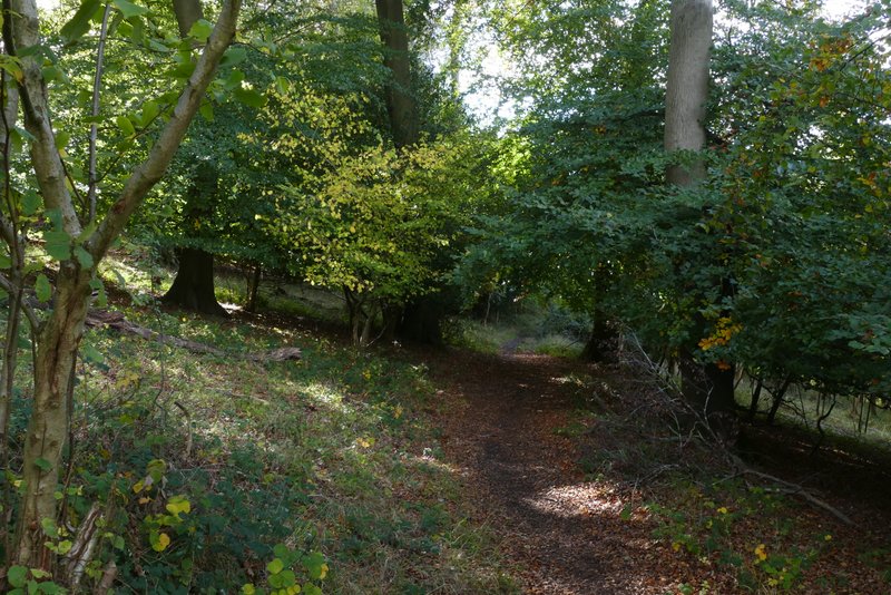
The same path descending through Great Wood
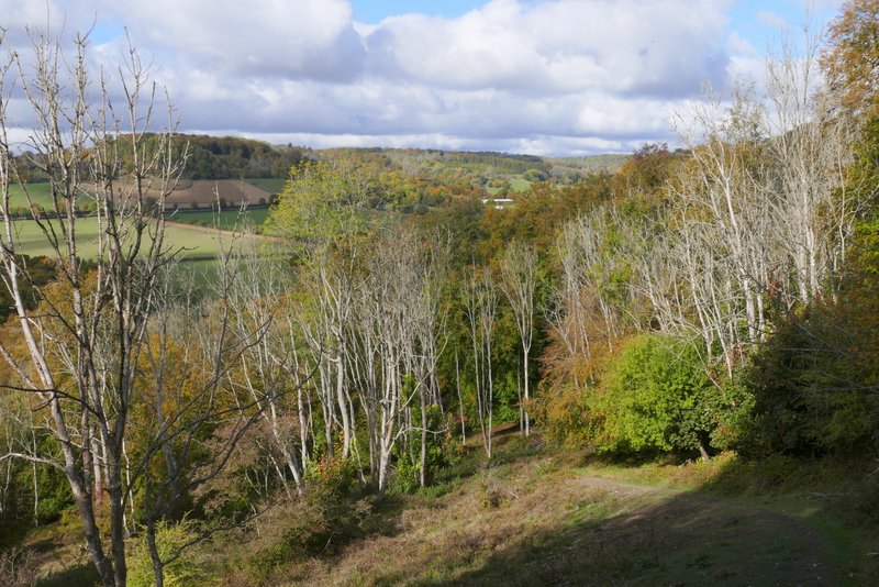
The same path descending through Great Wood