Pete's Walks - The Chiltern Chain Walk, Walk 9
If you are considering walking this route yourself, please see my disclaimer. You may also like to see these notes about the maps and GPX files.
Google map of the walkDownload GPX file of the walk
Walk 9 14/05/08 – Chalfont St Giles and Old Amersham (11.2 miles approximately)
Parked in Pay-and-Display car park in centre of Chalfont St Giles.
If you are interested in walking this route yourself, click here to see the route description (but only if you have already read my disclaimer and notes regarding route descriptions).
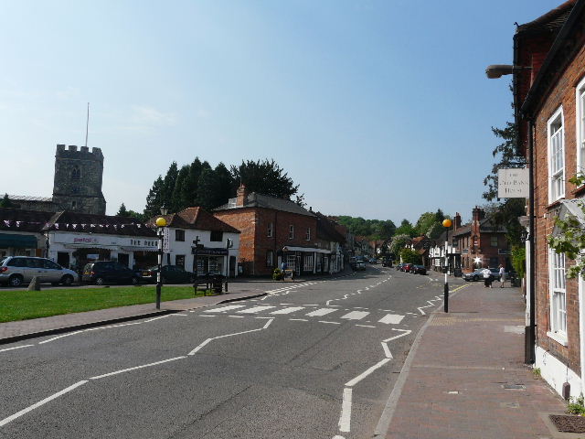
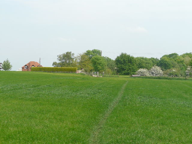
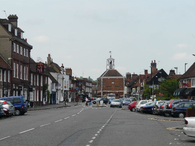
[1]Chalfont St Giles
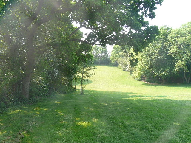
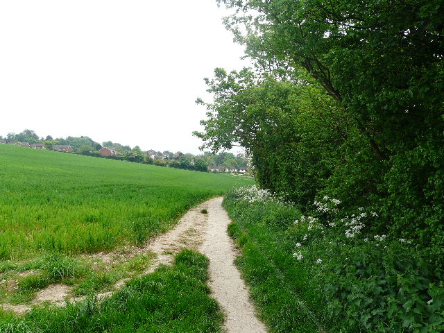
I had a nice surprise at the start of the walk – for some reason, parking in the car park at Chalfont St Giles [1] was free today! I started walking just before 10am. It was a much cooler day than on the last few walks, but still pleasantly warm and very sunny. I walked along the High Street, passing some expensive looking shops, and followed the road as it turned slightly right. I passed the Milton Museum [2] (see note for Chalfont St Giles in previous entry) on my left, and soon after turned left onto a footpath opposite the Milton’s Head pub. The hard-surfaced path went slightly uphill between fences, with a small meadow on the left and further on a school on the right. When the path ended I continued on in the same direction, along the edge of some playing fields, following a hedgeline on my left. Beyond the playing fields I passed a Bowls club on my right, and then the path went up and down a small dip [3], through a grassy area that looked more like a park than a meadow. I spotted some Wood Avens growing here.
[2]The Milton Museum, Chalfont St Giles
[3]Path near Chalfont St Giles
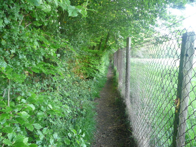
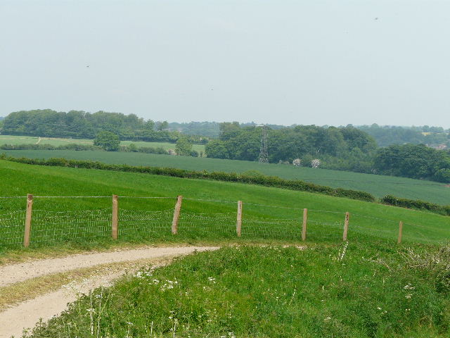
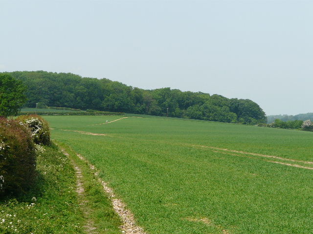
I crossed a gravel track or drive and carried on along a narrow path between fences and hedges. I passed some small paddocks on my right, and further on there was an old orchard on that side. To my left, the fields sloped down to the Misbourne Valley, running south between Chalfont St Giles and Chalfont St Peter. The path carried on for some distance, between a hedge and a hire wire fence on the right, with a large pasture beyond [4]. The path curved round to the right and eventually reached a lane. Here I crossed over, and continued on the path on the other side, which ran through a small area of trees and bushes. I went past one turning to the right and then took the second, the path here running between old overgrown hedgerows.
[4]Path leading away from Chalfont St Giles
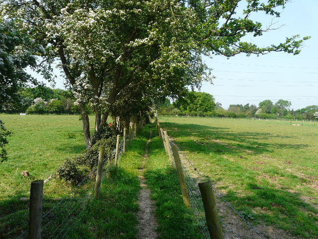
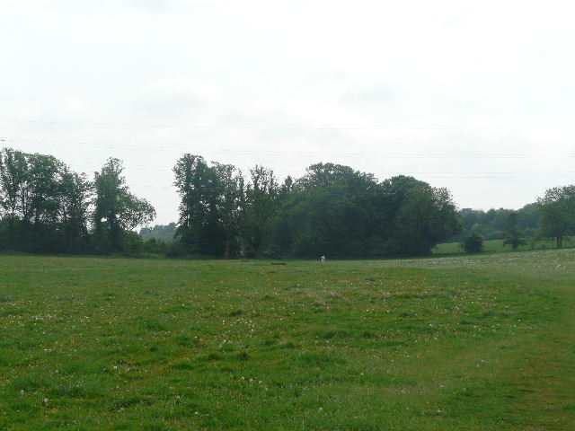
[5]Fenced path beside the long pasture
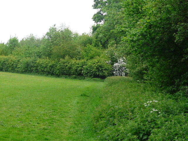
After a couple of hundred yards or so this path ended at a junction, where I turned left on a path parallel to a farm drive on my right. There was initially a wood on my left, and then a very long but quite narrow pasture from which the path was separated by a wire fence. A few feet beyond the fence was a long line of oak trees – a cow and a calf, the sole inhabitants of the pasture, lay in the shade of one of the trees. Beyond a farmyard, there were empty pastures to the right of the fenced path [5]. At the end of the long pasture on my left, I turned left on another fenced path along the end of the pasture, and then continued through a short sequence of paddocks, alongside a hedge on my right and with a row of giant pylons just to my left. The overhead wires hummed and crackled noisily.
[6]Path beside the paddock
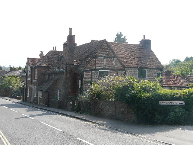
In the third or fourth paddock, the path went half-left and I passed three or four horses as I made my way to the far corner. I crossed the drive to the farm or stables that was to my left. and continued across another paddock in the same direction as before. I’d had a problem here on my exploratory walk in this area – there was a tall and new fence along the far side, but no stile. The problem was now resolved – instead of a stile being installed, the new fence had been removed! Anyway, in the corner of the paddock, I turned sharp right and followed the edge of the paddock [6] to a stile and the drive again. I followed the drive left, passing some Bulbous Buttercups, and at the end turned right along a narrow lane. This was surprisingly busy today (a confused taxi driver passed me three times!) and I had to keep squeezing into the hedges either side to let vehicles pass. I went past the entrance to a Youth Hostel on my right, and at the end of the lane I turned right into the village of Jordans, with the old Quaker Meeting House [7] immediately on my right.
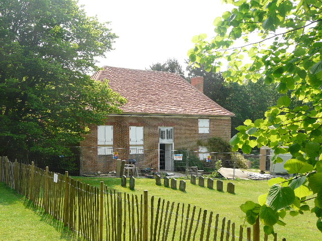
[7]Quaker Meeting House, Jordans - the gravestones in front of it include those of William Penn and his family.
The Quaker Meeting House at Jordans is one of the oldest in the country, dating from 1688, but was badly damaged in a disastrous fire in 2005 and is currently being restored. It was an early centre for Quaker activity, and was visited by Charles Fox and William Penn. Indeed, William Penn and members of his family are buried there. Nearby is the Mayflower Barn, believed to have been built from the timbers of the ship that took the Pilgrim Fathers to America. There is also a Youth Hostel at Jordans.
I’d been disappointed that the Quaker Meeting House was being restored when I first went past here on the Chiltern Heritage Trail about 20 months ago. Sadly it was still being restored today, although at least the plastic sheeting had been removed so I could get a reasonable photo of the building. The fencing surrounding the building work also now included the graves of William Penn and his family, so I was unable to go and look at them this time. Also since that time, the Quakers have sold off some land and property, so I could no longer walk from the graveyard to the Mayflower Barn [8], but could just photograph it as I went past along the road.
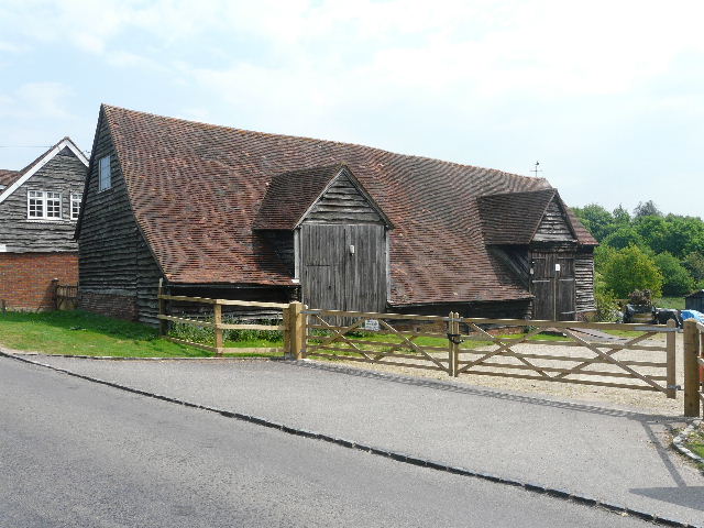
[8]Mayflower Barn, Jordans
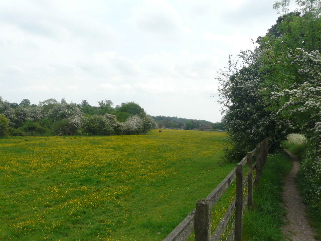
I followed the road through the edge of the village for about half a mile – there were a couple of rather dangerous bends but elsewhere there was generally a path or verge on the right. I spotted more Wood Avens, some Herb Robert and some Green Alkanet beside the road. At the end of the village I turned down a cement farm drive on the left. Where this turned left, I went over a stile in front of me and turned right through a large meadow, full of yellow Dandelions and Buttercups [9]. Beyond the meadow the path ran between wooden fences, with some paddocks on the right, and then followed the drive from a stables to a minor road. Here I went left – the road soon turned left, with a lane going straight on. Here I turned right onto a footpath.
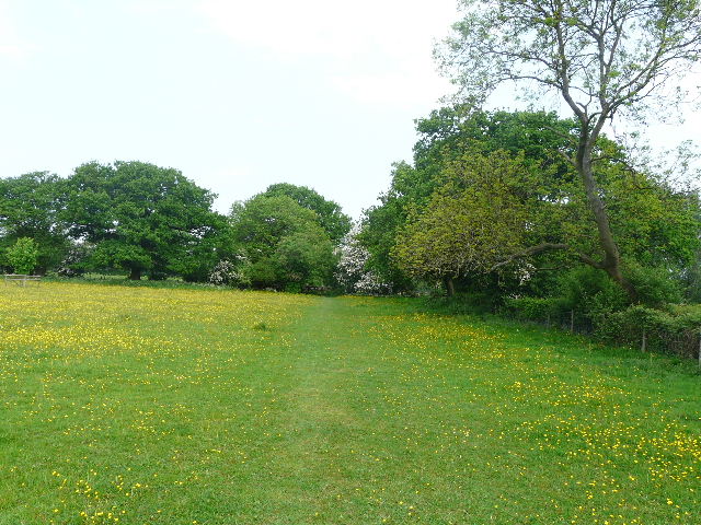
[9]Path through meadow between Jordans and Seer Green
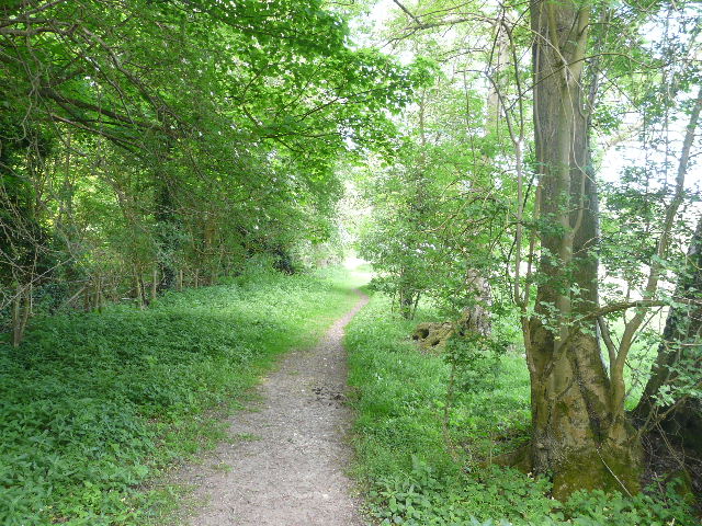
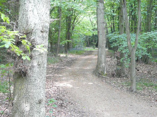
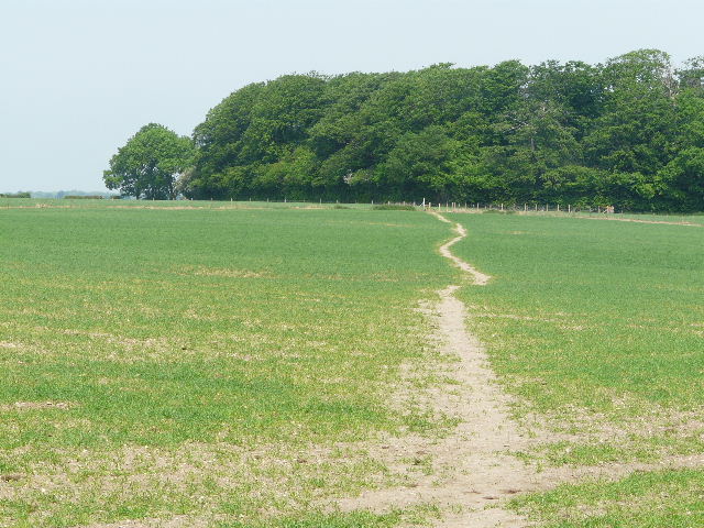
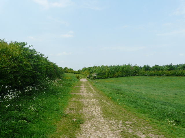
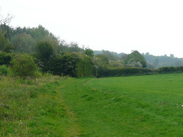
The path went for a few yards down a drive, then ran between hedgerows. This went on for a considerable distance, the path often bordered by the white of Cow Parsley and Greater Stitchwort [10]. One or two paths went off either side, and there were occasional gaps or gateways giving access to the adjacent fields, but I stayed on the path between the mature hedgerows. When these eventually ended, the path continued diagonally across another attractive yellow meadow to the far corner [11], where it entered Hodgemoor Wood. I followed the path running along just inside the right edge of the wood [12]. There were several minor junctions, where small paths not shown on the map diverged, but I stayed close to the edge of the wood without ever actually leaving it. I then joined a surfaced track used by horse riders, which soon took me to the end of the wood and a lane.
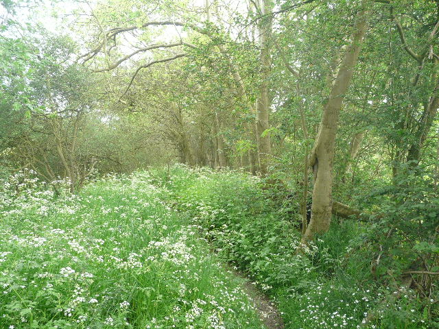
[10]Path between hedges north of Seer Green
[11]The path heading towards Hodgemoor Wood
[12]The path through Hodgemoor Wood
I crossed over and continued across part of a corn field [13] – I spotted some beautiful Field Pansies here, the first I’ve seen this year. I crossed the route of the Chiltern Way on the edge of the field, and continued on in the same direction along a farm track. I soon passed the farmhouse, where I saw an Orange-tip butterfly. The track [14] now descended gently for some distance with a path on its right, which I followed. The path rejoined the track as it turned left – I met four ladies, all in red baseball caps, walking the other way here. The track went downhill beside paddocks on the right to Bottom House Farm and the lane that takes its name from that farm. I turned right for a few yards along the lane, with the farm buildings on either side of me, then turned right at a footpath sign (where I saw my first Red Admiral butterfly of the year).
[13]The path beyond Hodgemoor Wood
[14]Near the start of the track to Bottom House Farm
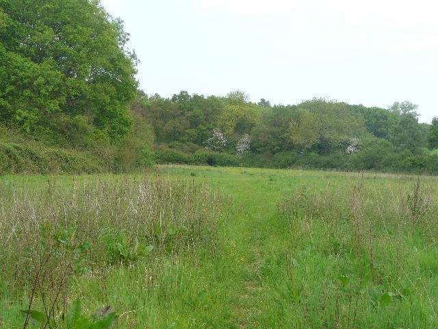
Across the farmyard the path continued along a track, initially with a line of mature trees on the left, rising steadily uphill through large corn fields. There was a view towards the Misbourne Valley to my right. Towards the top of the hill the footpath turned left, leaving the track, and crossed the field to a hedge. I then had to go a few yards right along the hedge to a stile. The path then continued across another large corn field, the crop nowhere near as far developed as in the previous ones [15]. Again there were views over the valley to my right, and I recognised the golf course I’d walked round on my last walk. The path crossed a corner of another field, then went slightly left, alongside Day’s Wood on the right [16]. Where the wood ended, it continued a short distance beside a hedge, and went over a rather dilapidated stile in the field corner. It now followed a hedge on the left, with another enormous corn field sloping down to the valley on my right. I’d be returning along the bottom of the valley later on.
[15]The path heading towards Day's Wood
[16]The path beside Day's Wood, with Rodger's Wood in the distance
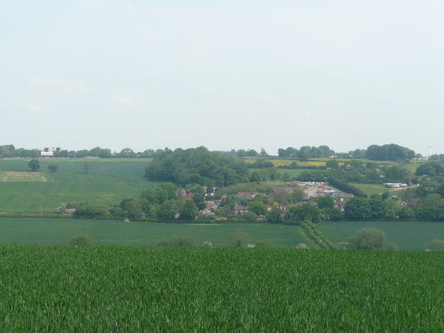
When the hedge turned left [17], quite close to a farm, the path continued across the corn field and then across another one, heading towards Rodger’s Wood with a view of Amersham ahead and across the valley. Looking across the Misbourne Valley to my right, I could see some of the yellow paddocks and meadows I’d been through on my previous walk [18]. I passed through a corner of the wood, then the path started descending at an angle down into the valley [19], passing through two more corn fields. This path must be a popular route, as since leaving Bottom House Farm I’d met a total of six walkers coming the other way (and that’s on top of the four red-capped ladies I’d met just before the farm). On reaching a large empty pasture in the valley bottom, I turned left on a track [20]. This went under a bridge carrying a main road, and soon led between houses (some posh barn conversions) to a main road in Old Amersham.
[17]The path heading towards Rodger's Wood
[18]View right, across the Misbourne Valley - I'd walked through the yellow meadows on my way to Little Chalfont on my previous walk
[19]The path from Rodger's Wood, looking towards Old Amersham
[20]The track heading towards Old Amersham
The market town of Amersham is split into two distinct parts, the larger and more modern Amersham on the hill and Old Amersham(which this walk passes through). The High Street in Old Amersham has been described as the finest in England, and it is certainly a very attractive street of mainly Georgian buildings – it has often been seen on TV and in films. At the time of the Norman Conquest, the manor of Amersham was held by Queen Edith, widow of Edward the Confessor, and later it was held by the Earls of Bedford. In 1521 seven Lollard dissenters were burnt at the stake in Amersham - a memorial was raised to them in 1931, with an inscription saying that “They died for the principles of religious liberty, for the right to read and interpret the Holy Scriptures and to worship God according to their consciences as revealed through God’s Holy Word”.
[21]Part of the High Street, Old Amersham, looking towards the Market Hall
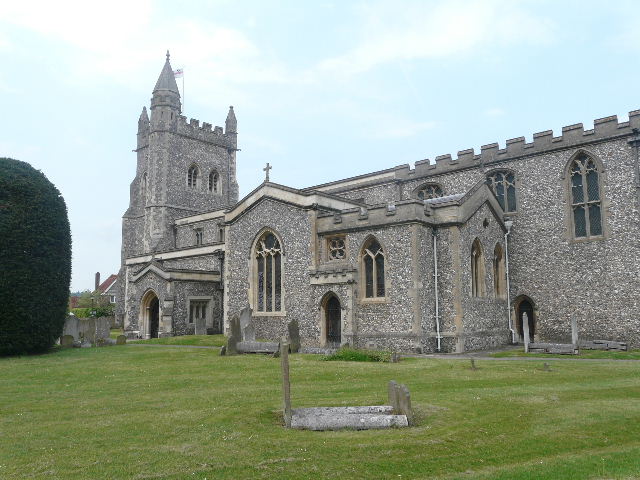
[22] Old Amersham church
I carefully crossed the busy road and turned left, passing the entrance to a supermarket car park. I continued on down the very attractive High Street, with the market hall ahead of me [21]. I then turned right into the churchyard, passing to the right of the church [22]. My route now went over a small bridge over the river Misbourne, but before crossing it I went and sat on a bench in a grassy area by the river to eat my lunch, as it was almost 1pm. I then went over the bridge and turned right alongside the river [23] – the water was very clear and I could see some small fish in it (I later had them identified on a website as Roach). There was the wall of a cemetery to my left. Where it ended a path forked left, towards the Martyrs’ Memorial (see note above), but as I’d been there on one of my exploratory trips already, I didn’t bother to make the quarter-mile each way diversion today – also, the sky was turning a watery shade of grey and I was concerned about getting wet during the rest of the walk. So I carried on alongside the river, with another huge corn field sloping up the hillside on my left [24].
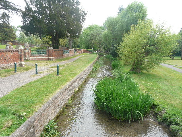
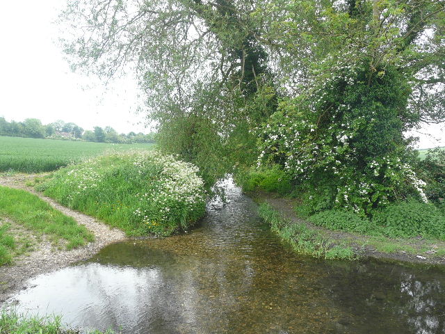
[23]River Misbourne, Old Amersham
[24]Footpath, Old Amersham
The path reached a main road (a main route between the two parts of Amersham) where I turned right, soon turning left at the roundabout at the end of the road. After a couple of hundred yards or so, I took a footpath on the right (just past a car showroom, the last building on this side of Old Amersham) [25]. This followed a hedge along the right of a meadow, then went through a gap in the hedge and continued through some scrubland between the hedge and the river on my right. It went under another road bridge, and soon entered the corner of another corn field, where I continued to have the river close by on my right. I started to feel the odd spot of rain here. At the end of the field the path ended at a junction, where I turned right, crossing a footbridge over the river [26] and carrying on across another corn field. On the far side, I turned left, joining the route of the South Bucks Way which I would follow along the valley all the way back to Chalfont St Giles.
[25]Start of the path from Old Amersham
[26]River Misbourne, from the footbridge
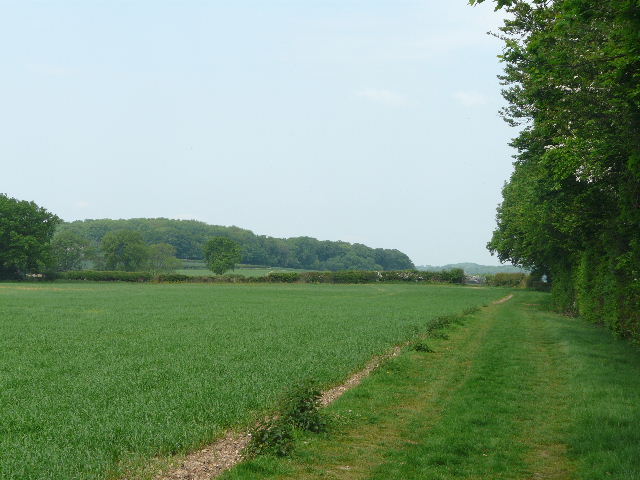
The path ran along the valley on a headland between corn fields – the huge one on my right sloped up the hillside and out of sight, I’d walked along its far edge earlier. Where the smaller corn field on my left ended, I saw a clump of Red Campion. I carried on, now with a tall hedge on my left [27], and more corn fields to my right. The odd spot of rain now turned to drizzle, and I put my camera away in the rucksack for a while. Eventually I reached a stile in a crossing hedgerow, and continued through a paddock (I met one of the walkers I’d seen earlier again here) to another stile and a lane (Bottom House Farm Lane again). The path continued along the valley bottom, through another paddock [28] and then through a larger meadow [29]. On the far side of this I went over a stile into a thin belt of trees – almost immediately I was retracing part of my previous walk, which turned to what was now my left here to shortly reach the golf course I’d seen from across the valley earlier.
[27]Path through the Misbourne valley
[28]Path through the Misbourne valley
[29]Path through the Misbourne valley
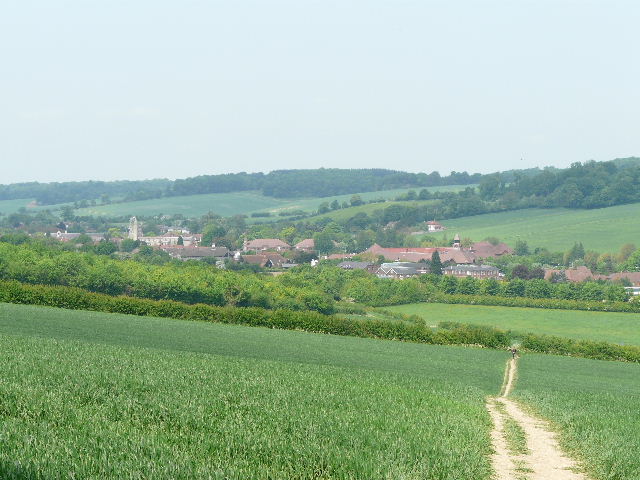
The path went through the tree belt, with a pasture and then a donkey paddock on the left. It emerged from the trees to run between a hedge and an empty cattle pasture on the right. It then ran along a short section of lane between two bends, and then continued past a few houses on the right (I passed a lady walker here, who’d been visible ahead of me since just before crossing the lane). There was a view here forward across the large buttercup-filled cattle pasture on the left towards the edge of Chalfont St Giles where I had parked [30]. The path entered another tree belt and a short distance further on joined a private drive between some large residences, which soon led to the centre of the village. I walked a short distance to the left to return to the car park. I spotted the ladies in red caps I’d seen earlier – I wonder if the surprising number of walkers I met today was anything to do with the free parking?
[30]Looking along the valley towards Chalfont St Giles
Another good walk – shame the Quaker Meeting House was still closed, I’d love to visit it sometime. The first part of the walk as far as Jordans was OK but nothing special, and the lane and road walking to and through Jordans wasn’t great (perhaps I should have thought of a different route here, but I was keen to pass the Quaker Meeting House). But the rest of the route was very pleasant indeed – and I didn’t notice so much road noise along the Misbourne Valley today as when I first walked there 2-3 years ago. The slight drizzle in the afternoon hardly affected me at all – I was lucky, as driving home it was evident there’d been heavy showers or rain just a few miles to the north of Amersham.
Total distance: 108.9 miles