Pete's Walks - The Hertfordshire Way
If you are considering walking this route yourself, please see my disclaimer. You may also like to see these notes about the maps and GPX files.
Day 17 17/11/05 Broxbourne to Watersplace (6.8 miles each way)
Parked in side street in Broxbourne.
I had to scrape the ice off my car again this morning, but it wasn’t too cold when I set off walking. From the bridge that I reached yesterday, I continued along the road to a T-junction, where I turned along the main road through Broxbourne and crossed it at a pedestrian crossing (for some reason, you have to wait about a minute before the light changes to green after pressing the button at this crossing, which seems both pointless and annoying – after all, the traffic on the road is going to be held up for the same amount of time irrespective of how quickly the light changes, so why make the poor pedestrian wait so long?). I then followed a path along the New River [1] for about half a mile (this is a bit of a misnomer, as it is neither new nor a river - it is an aqueduct built in the early 1600’s to bring water from springs near Hertford to London). A short road section then led to the site of Broxbourne Mill – there had been a mill in Broxbourne at the time of the Domesday Book, but the ruins that are there now are the remains of a 19th century mill that was burnt down in 1949 when it was being used as an engineering workshop. A short walk beside the mill stream led to the car park of Broxbourne station.
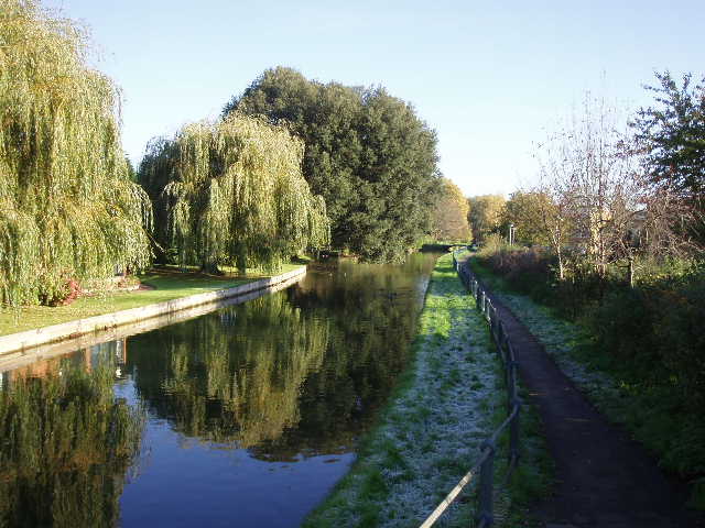
[1] New River in Broxbourne
Here the Hertfordshire Way rejoined the New River and followed its bank northwards for about one and three quarter miles. It was much like walking a canal towpath, though there were no locks or narrow boats, and the foot and road bridges left no room for boats to pass under them. Also, the water was very clear, unlike the impenetrable murk of most canals. At one point I saw a fox lying in the grass on the opposite bank – it didn’t run off, just watched me cautiously as I walked by on the other side of the water.
At Rye House Station, I left the New river, crossed a road bridge and then followed the bank of the river Lee [2] (or Lea, it can be spelt either way) – a proper river this time, although there were several narrowboats moored along it so that it again felt like walking a canal towpath. Near where I met the river, but on the opposite bank, I saw Rye House Gatehouse. This is all that survives of a fortified manor house built in 1443, which was the setting for the Rye House plot which unsuccessfully planned to assassinate Charles II and his brother the Duke of York
[2]River Lee
As with the New River, there were houses and industrial sites close to each bank, although the waterway itself was quite pleasant to walk along. I followed the riverside path for about one and a quarter miles, until I reached Stanstead Abbots, where I crossed over a road bridge and walked through the busy but pleasant village. I passed the Clock House [3], originally a mediaeval chapel and then a grammar school from 1635 to 1879. After about three quarters of a mile of road walking, I turned off onto a bridleway.
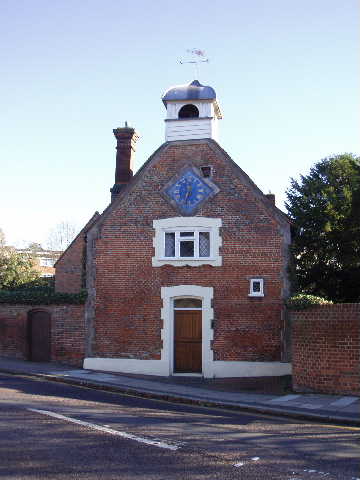
[3]The Clock House, Stanstead Abbots
This next section of the walk I found really quite delightful for some reason. The bridleway went on for almost two miles, uphill at first before flattening out and then eventually descending slowly into the valley of the river Ash. The bridleway mainly ran along a wide farm track, mostly through fields planted with cabbages and other vegetables, passing alongside a small wood at one point. It was a beautiful day with hardly a cloud in the sky, and the countryside looked magnificent in the clear autumn light – hills and valleys, fields and woods, and just the occasional farmhouse. I think what I liked about it was the fact that I felt I was miles from anywhere built up, although in truth the heavily populated Lea Valley was just a short distance away - it was certainly the first time for some days on this walk that I had extensive views [4] that didn’t include towns or large villages and major roads.
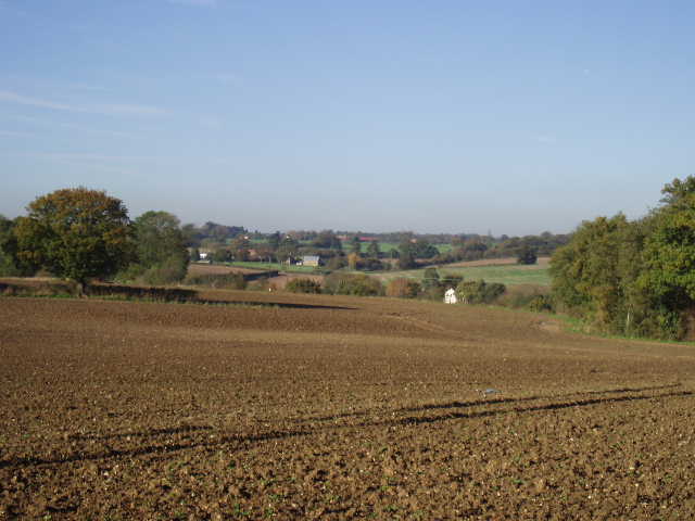
[4] View from the bridleway from Stanstead Abbotts
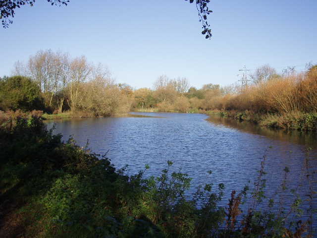
The bridleway ended at a dismantled railway line, which I followed for a couple of hundred yards to a farm and a footbridge over the river Ash [5], which is where I turned around. I eat my lunch on a bench in the riverside garden at Stanstead Abbotts, and got back to my car as early as 2.20pm. I wasn’t tired, but was quite glad this was a slightly shorter walk than usual as it was my third walk in four days. The journey home was Ok today, fortunately – I had to travel via Hertford and Hatfield rather than the motorway route I took yesterday.
Total Distance: 128.9 miles each way
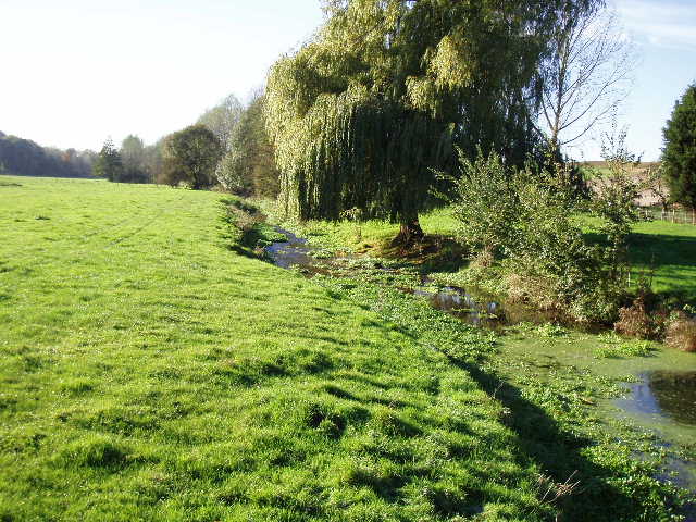
[5] The river Ash, near Watersplace farm