Pete's Walks - Grand Union Canal Circular Walk (page 1 of 2)
If you are considering walking this route yourself, please see my disclaimer. You may also like to see these notes about the maps and GPX files.
I did this walk on Saturday, 25th July, 2009. The official route is about 9.3 miles long (according to Google Maps), but I made a mistake which added another half mile to that distance. Having done the walk clockwise, I turned round and did it anti-clockwise, meaning I walked a total of about 19.6 miles. Probably a little too far on a very warm summer's day.
In recent years I have come across the rather colourful waymarks for the 'Grand Union Canal Circular Walk, Berkhamsted-Tring' (to give it its full title!) in a few places, and have often thought of doing the walk sometime. A year or two ago I even got as far as searching the internet for information about the walk, and managed to find a single web site about it, that had a map of the route. Earlier this week, I decided I'd do the walk on Saturday, but was unable to find that web site again - the only sites I found were a few, like mine, that mentioned seeing the waymarks for the route. I could remember the route roughly from the map I'd seen (along the canal between Berkhamsted and Tring Station, then looping back through Aldbury and Northchurch Common) and remembered where I'd seen a few of the waymarks, so I decided to give the walk a go anyway, hoping that there would be sufficient waymarks to guide me round the parts of the route I was unsure of.
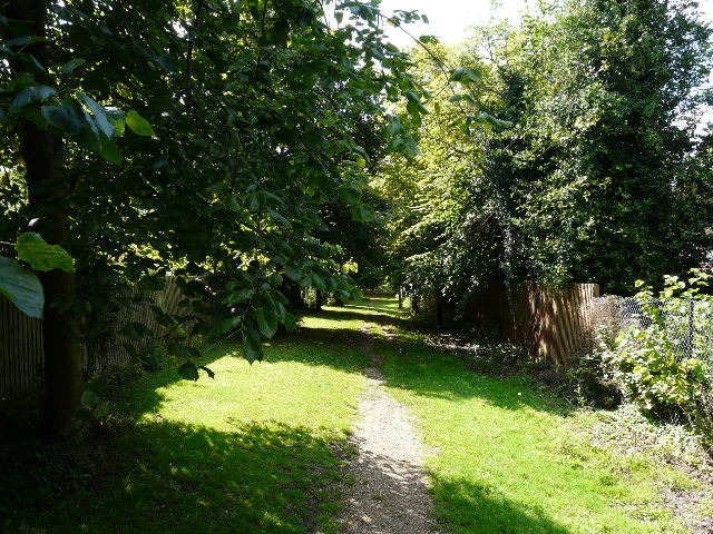
Rather than pay for parking in Berkhamsted or at Tring Station, I parked just off the Ringshall-Northchurch road by a corner of Northchurch Common, and made my way the short distance to where I remembered seeing a waymark for the Grand Union Canal Circular Walk as it crossed a private drive to an isolated house on the edge of the common. I'd decided to do the walk clockwise first (I thought the route was about 8.5 miles long, and planned to do it both ways to make it into a good day's length walk) and so followed the path through trees for about a hundred yards to where it crossed the road.
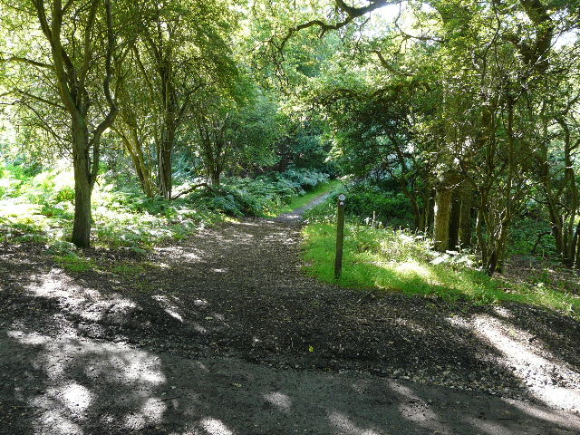
Where I started the walk
Across the road, the path continued through trees and bracken. Almost immediately I had my first problem with route finding, as the bridleway forked and there was no waymark for the Grand Union Canal Circular Walk. From what I remembered of the map I'd seen, I was reasonably confident that I needed the right fork - in any case, I'd never been that way before, whereas the left fork was a familiar path (part of the Ashridge Estate Boundary Trail and my own Chiltern Chain Walk). Fortunately this proved the correct decision. The path continued slightly downhill through more gorse and bracken to emerge near a corner of the road, then followed a private drive to a small estate of bungalows on the edge of Northchurch. As I followed the track past the estate I looked over the neighbouring paddocks for Fallow deer, but there were none about today.
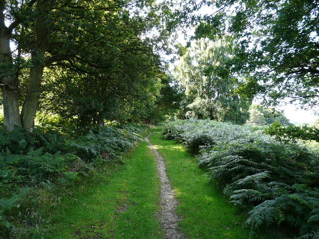
The path on the other side of the Ringshall-Northchurch Road
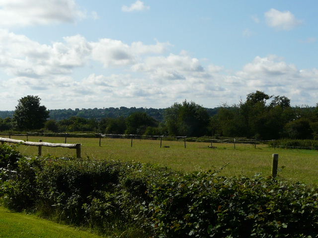
The paddocks by the small estate on the edge of Northchurch - I often see Fallow deer here, but not today
The route then continued past the grounds of a school on my right, beyond which it followed the right border of a large sheep pasture. I went over a stile in the corner, and followed a private drive through houses on the edge of Berkhamsted. The drive ended at a crossroads, where a footpath went half-left, downhill between garden fences. At the end of the path I continued along a street (left) and turned left at the end, to reach a road junction opposite Berkhamsted Castle and close to the railway station (where most people would probably start this walk). I turned right and followed the road under a railway bridge and then turned right, passing the station (possibly the official route goes through the station, I don't know) and soon went down some steps and started walking along the towpath of the Grand Union Canal, with the canal on my right.
On the edge of Berkhamsted - the houses started once I was over the stile in the corner
Path heading down towards Berkhamsted Castle
Berkhamsted Castle
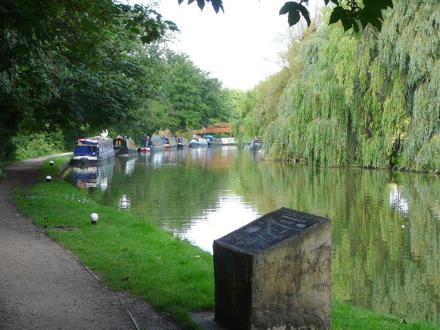
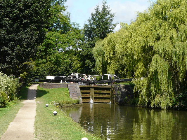
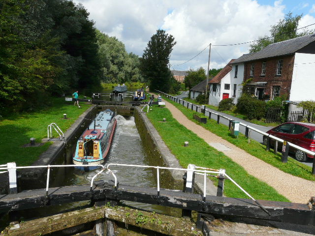
Close to where I joined the Grand Union Canal in Berkhamsted - there were several information boards similar to the one in the foreground as I followed the canal through the town
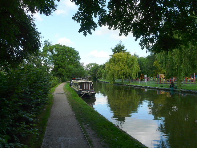
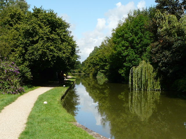
Having walked this stretch of the canal at least a couple of times before, there wasn't anything new here to hold my interest. It was quite pleasant following the towpath though, as the canal formed a nice green corridor through the town and on through adjoining Northchurch. A group of 8 or 9 mountain bikers passed me here, then stopped because of a problem with one of the bikes, before passing me again. It was quite a bright and sunny day (although there were a lot of clouds about) so the canal always made for a pretty picture.
Grand Union Canal in Berkhamsted
Grand Union Canal in Berkhamsted
Grand Union Canal in Berkhamsted

Grand Union Canal in Northchurch
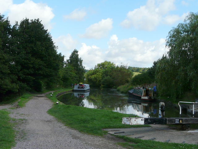
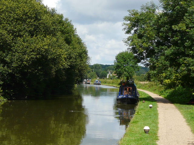
Beyond Northchurch the canal entered open countryside, continuing to follow the valley of the river Bulbourne. At the next bridge, by a lock, the towpath switched to the right of the canal and continued on towards the quaintly named Cow Roast.
Grand Union Canal on the edge of Northchurch
Grand Union Canal between Northchurch and Cow Roast
Taken from the bridge where the towpath switches to the right of the canal
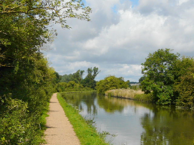
Grand Union Canal , approaching Cow Roast